Sedlo Priehyba – Ipoltica Valley, end
Trail map
Route, springs and shelters: © OpenStreetMap contributors (ODbL) · elevation: Copernicus DEM © DLR e.V., © Airbus DS · Data & licences
About the trail
Route Sedlo Priehyba – Ipoltica Valley, end. Has yellow marking (regional route №8421b, KST). Waymarking data: OpenStreetMap (© OpenStreetMap contributors, ODbL).
Officially marked regional tourist route No. 8421b. The marking is yellow, the sign is a horizontal stripe on a white background. Marked and maintained by: KST. Length of the route — 8.9 km. Location: mountain range — Low Tatras, Slovakia.
At a glance
A short route of 8.9 km with 355 m of ascent from Sedlo Priehyba to Ipoltica Valley, end. Estimated walking time: about 3 h, not counting stops. Difficulty: easy. Waymarking: yellow.
Route stages
- 0–5.5 kmGentle ups and downs at 830–950 m
- 5.5–9 kmClimb of 250 m to Priehyba Pass
Steepest kilometre: km 7.5–8.5, a climb of 130 m (≈13%).
Water and overnight stays
Springs near the trail: at km 1, 2, 5.5 and 8. Some springs run low or dry up in late summer.
When to go
Best time: May to October. In winter deep snow is possible, so experience and winter gear are needed.
Getting there
Start: Sedlo Priehyba. This is a one-way route: the finish is 7 km from the start in a straight line, so plan your way back in advance.
FAQ
- How long does the route take?
- Estimated walking time: about 3 h, not counting stops.
- Is there water on the route?
- Springs near the trail: at km 1, 2, 5.5 and 8. Some springs run low or dry up in late summer.
Water and shelter on the route
- Skrytá Springkm 1 from the start · Not verified · 878 m
- Spring below Oselná (south slope)km 2.1 from the start · 80 m off the path · Not verified · 894 m
- Ráztokykm 5.7 from the start · 60 m off the path · Not verified · 942 m
- Hlístajka Springkm 8.1 from the start · 140 m off the path · Not verified · 1 107 m
- Spring below Čelo (north-west slope), 1 198 mkm 8.9 from the start · 200 m off the path · Not verified · 1 198 m
Comments
Trails nearby
All trails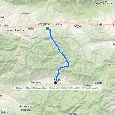 HardMulti-dayMarkedHeľpa, station VýchodnáElevation profile636–1 551 m32.4 kmascent 1 179 m≈ 10.5 h walking
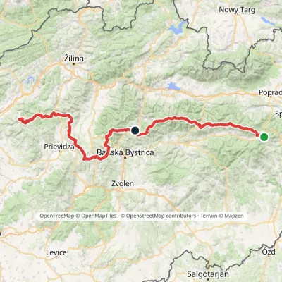 HardMulti-dayMarkedHorná Poruba, U Brdárov Pred ČuntavouElevation profile309–2 004 m241.6 kmascent 15 694 m
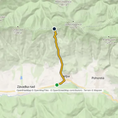 EasyOne-dayMarkedHeľpa, station PriehybaElevation profile636–1 190 m6.7 kmascent 553 m≈ 3 h walking
Craft nearby
All craft places Eco farmsFarma Východná — organic farm below the Tatras13 km from the trailFarma Východná is the highest-lying organic farm in Liptov, at 930 m in the village of Východná right below the Tatras.
 Horse ridingKone vo Východnej: horse rides below the Tatras14 km from the trailKone vo Východnej (“Horses in Východná”) is a small family horse farm on the meadows above the village of Východná in upper Liptov, with a sweeping view of the High...
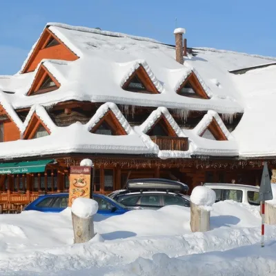 Koliby & Hutsul cuisineKoliba Strachanovka, Jánska valley23 km from the trailKoliba Strachanovka (Jánska koliba) is a large wooden koliba at the entrance to the Jánska valley in the village of Liptovský Ján, which locals consider one of the...
 Water parks & thermal poolsTERMAL raj thermal bath, Liptovský Ján24 km from the trailLiptovský Ján: thermal water at the entrance to Jánska dolina Liptovský Ján is an old village in southern Liptov, about 10 km from Liptovský Mikuláš, at the entrance...
 Craft beer & breweriesMinipivovar TATRAS, Poprad25 km from the trailMinipivovar TATRAS is a brewpub on Poprad’s main square, Námestie sv. Egídia, housed in a building with a long brewing history.
 Water parks & thermal poolsAquaCity Poprad water park26 km from the trailAquaCity Poprad is a large year-round water park and wellness complex in the town of Poprad, a few minutes from the centre; according to the complex, the High Tatras...
