Polonyna Maryshevska
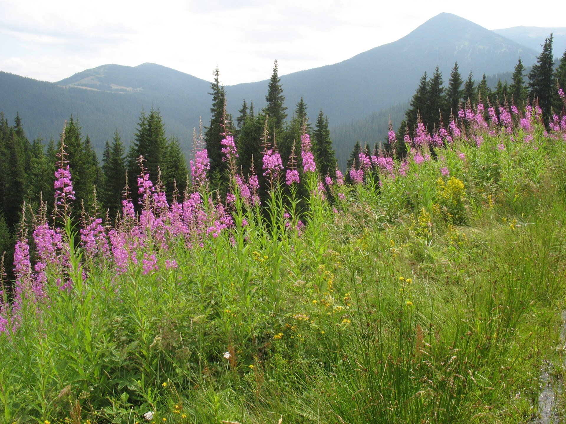
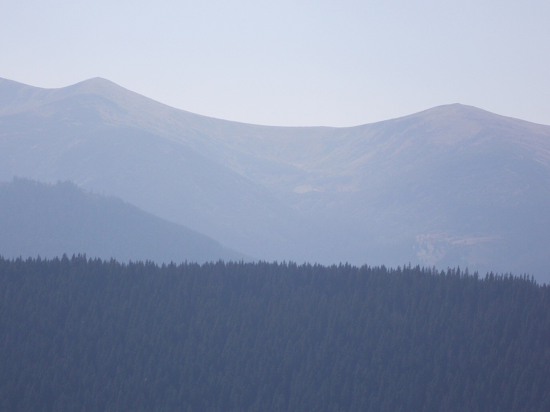
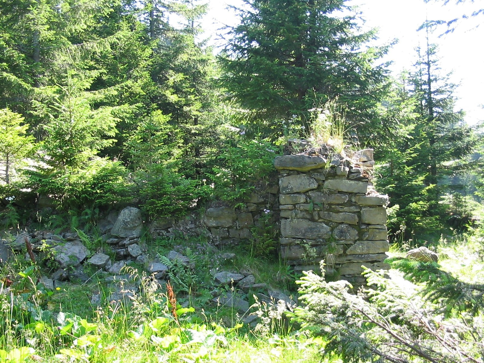
Maryshevska Polonyna is a small mountain pasture on a north-eastern spur of Chornohora, in the group of Velyka (1,567 m) and Mala Maryshevska (1,452 m). It lies above the Bystrets valley in the Verkhovyna district of Ivano-Frankivsk Oblast, at roughly 1,200–1,370 m, and covers about 14 hectares. The area belongs to the Carpathian National Nature Park.
The polonyna is known for two things: it offers a superb view of the Chornohora ridge with Hoverla, and nearby stand the ruins of one of the best-known pre-war mountain huts of the Carpathians. The green-marked route from Bystrets to Shpytsi crosses it, so for many hikers Maryshevska is the place of the first long rest.
What you will see
The main attraction is the Chornohora panorama: right in front of you rise the slopes of Shpytsi, Homul and Rebra, and on a clear day you can also see Hoverla. The polonyna is surrounded by spruce forest. In summer the grassy slopes at its edge turn pink with fireweed, in autumn they go russet, and in winter deep snow lies here. From the higher spurs of Maryshevska you can often see a sea of clouds with the Chornohora peaks standing above it.
Shepherds, huts and cheese
We found no recent information on whether livestock is grazed on Maryshevska itself or whether a koliba works here. Hiking maps of the routes around Bystrets mark several cheese dairies on the slopes below the polonyna, and the neighbouring Hadzhyna Polonyna has a hut. In summer cattle and sheep are usually grazed on the polonynas of the Verkhovyna area, but it is impossible to know in advance whether the herders will have cheese for sale — ask in Bystrets and carry your own food.
History and legends
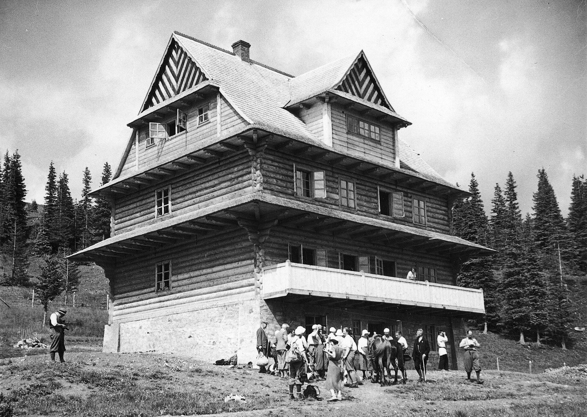
On the southern slope of Velyka Maryshevska, about 650 m from the polonyna, stood the Zygmunt Klemensiewicz hut of the Carpathian Ski Society (KTN). Society members Karol Kocimski and Lech Neyman designed it in Hutsul style: three storeys with an attic, 57 beds, its own water supply and a telephone line to Vorokhta. A forest road was built to the hut from the Foreshchenka area. It was officially opened on 24 January 1937, and in its very first season more than 3,000 overnight stays were recorded. It was the society's first tourist facility in Chornohora. In 1936–1937 paths to Maryshevska were marked from Foreshchenka via Hoverla, from Bystrets and from Hadzhyna.
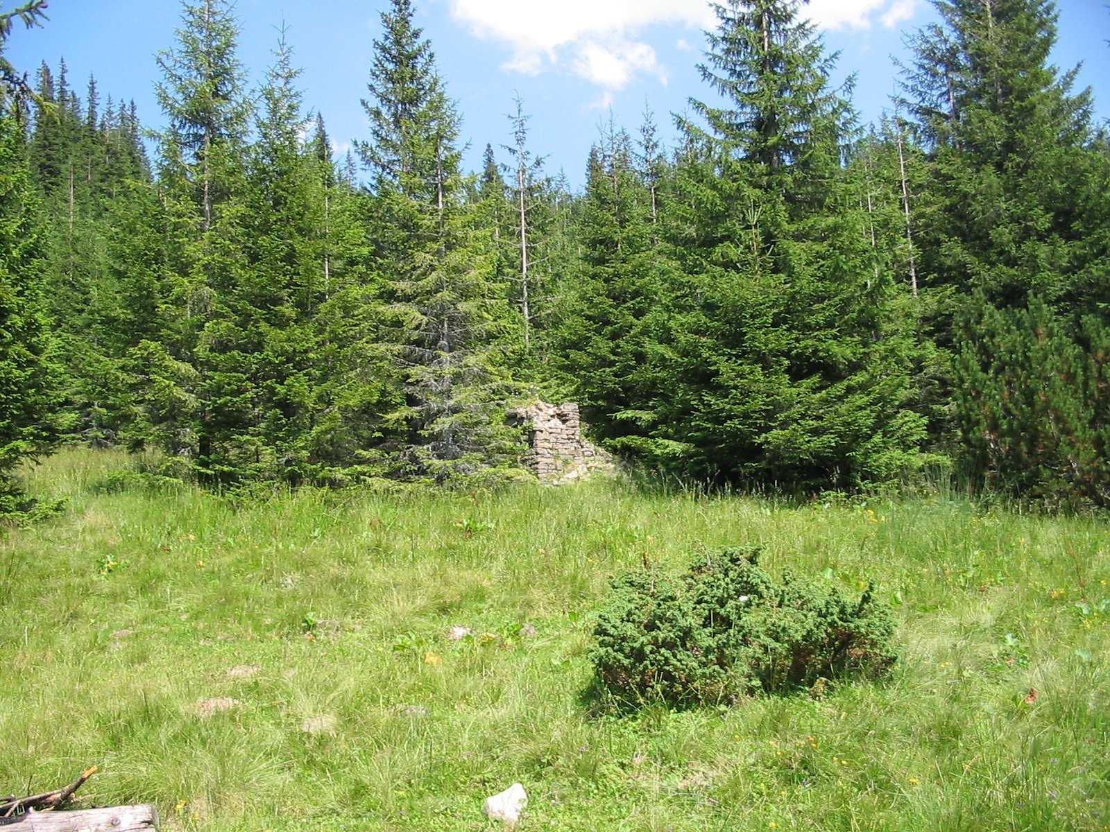
The hut did not last long: it was abandoned in September 1939 and burned down during the Second World War. A koliba later built on the site burned in 2007. Today only stone remains of the foundations and walls are left, visible from the polonyna. On the Maryshevska crest, on the route from the bridges near Zaroslyak, stands a memorial cross to the soldiers of the UPA (Ukrainian Insurgent Army).
Routes
- Bystrets — Maryshevska Polonyna — Shpytsi: green marking. Our site has the track Bystrets — Maryshevska Polonyna — Shpytsi (12.4 km one way) and a similar route Bystrets — Shpytsi (12.5 km). From the "Pid Rebramy" signpost (1,930 m) red marking leads to Rebra; the whole way to Rebra takes about 6 hours.
- Loop from the bridges before Zaroslyak: via Mala Maryshevska, the polonyna and Shpytsi, returning past Lake Nesamovyte — about 14.6 km, 7 hours, some 800 m of ascent. A yellow-marked path also leads from the Zaroslyak road to Maryshevska.
- Long traverses: our route Bystrets — Shpytsi — Hoverla — Petros — Yasinia crosses the polonyna.
- Easier option: walk from Bystrets or from the bridges only as far as the polonyna, have lunch with a view of Chornohora and return the same way. It is a climb of a few hundred metres on a forest path, with no rocks or steep scree.
Getting there
To Bystrets by car via Verkhovyna, then up the Chornyi Cheremosh valley. Another starting point is the road from Vorokhta to the Zaroslyak tourist base: by the two bridges before the base there is an unguarded spot to leave a car. Those without a car usually take a taxi from Vorokhta; prices change, so agree in advance.
When to go and weather
The best time is from June to October. In summer a strong cold wind can blow on the open sections, so take a windproof jacket. After rain the forest descents are slippery. In winter people reach the polonyna on snowshoes, but higher up, on the slopes of Shpytsi, blizzards and avalanche-prone sections occur — this is for experienced hikers only.
Water, shelters and overnight
Small streams flow near the polonyna, but they may dry up at the end of summer. The nearest springs on our map are the spring below Mount Homul and another one nearby. The nearest shelter is the hut on Hadzhyna Polonyna, about a kilometre away. There is plenty of room for tents on the polonyna and people often camp here in summer. Guesthouses and homesteads are available in Bystrets, Dzembronia and Vorokhta.
Safety
- Part of Chornohora is under a border regime. According to hikers, a border guard checkpoint operates on the road to Bystrets and Dzembronia. Before your trip check the current rules, carry your passport, and men should carry their military registration documents.
- Closer to Shpytsi the marking becomes sparse: have a navigation app with an offline map and a track.
- The weather changes quickly: in a thunderstorm get off the open ridges, in fog stay on the path.
- Shepherd dogs may be near livestock: do not run, walk around the herd and call the herder.
- Do not climb inside the ruins of the hut: stones may fall.
- In an emergency call 112 or 103; the mountain search and rescue service of the State Emergency Service (DSNS) works around the clock.
What visitors say
- The route via Maryshevska is described as not too hard and very scenic: the path is well trodden and marked in the forest.
- The last kilometre of the climb to Shpytsi is considered the hardest; after that walking is easier and the views open up over the whole ridge.
- It gets busy at weekends, and a piercing cold wind can blow on the open sections.
- Families have done the loop from the bridges via Maryshevska, Shpytsi and Nesamovyte with children aged 8 and 14 in about 7 hours.
- The polonyna is praised as a camping spot: there is plenty of room, and in the morning you wake up to a view of Chornohora.
- At the end of summer some streams near the polonyna dry up, so fill your bottles beforehand.
Polonynas and peaks around
- Mount Shpytsi (1,863 m) — rocky "spires", the goal of the green route.
- Mount Homul (1,788 m) and Mount Rebra (2,001 m) — neighbours on the main ridge.
- Hadzhyna Polonyna — the neighbouring pasture with a hut on the way from Bystrets.
- Lake Nesamovyte — a mountain lake below Turkul.
- Mount Kostrych — a viewpoint peak on the opposite side of the valley.
- Psarivka Polonyna above Bystrets and Smotrych Polonyna above Dzembronia.
- Brebeneska Polonyna — a high pasture by Lake Brebeneskul beyond the main ridge.
Photos: Сергій Криниця (Haidamac), CC BY-SA 3.0, Wikimedia Commons; Svyatko eco, CC BY-SA 4.0, Wikimedia Commons; Jan Jaroszyński, Public domain, Wikimedia Commons; Losth., CC BY-SA 4.0, Wikimedia Commons; Seencleyr, CC BY-SA 4.0, Wikimedia Commons.
Video 2
 ⛰️ 2 дні в Карпатах: Несамовите, Шпиці та ночівля на полонині МаришевськаШурік
Location on the map
Water and shelter nearby
- Spring below Mount Homul (5)480 m · Not verified · 1 349 m
- Spring (Dzembronia)550 m · Not verified · 1 170 m
- Spring below Mount Homul (4)570 m · Not verified · 1 356 m
- Spring below Mount Homul (3)660 m · Not verified · 1 371 m
- Spring below Mount Homul (6)820 m · Not verified · 1 395 m
- Hut on Polonyna Hadzhyna1 km · Not verified · 1 211 m
- Spring below Mount Homul (2)1.6 km · Not verified · 1 387 m
- Hut (Dzembronia)1.7 km · Not verified · 1 099 m
- Hut (Dzembronia, 2)1.7 km · Not verified · 1 097 m
- Dovbush's Well1.8 km · Not verified · 1 315 m
- Spring below Mount Homul2 km · Not verified · 1 366 m
- Spring (Dzembronia, 2)2.1 km · Not verified · 1 333 m
- Spring (Bystrets, 3)2.2 km · Not verified · 933 m
- Spring (Bystrets)2.3 km · Not verified · 1 195 m
- Spring (Bystrets, 2)2.3 km · Not verified · 1 255 m
- Spring on Polonyna Hadzhyna (2)2.7 km · Not verified · 1 629 m
Comments
Places to stay nearby
All stays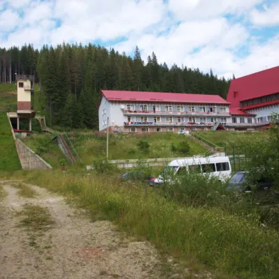 HotelTraining and Sports Base "Zaroslyak" at HoverlaVorokhta5.2 km from Polonyna MaryshevskaPoolSaunaParkingNearby: Polonyna Pozhizhevska 1.2 kmMt Hoverla 2.8 km32 trails
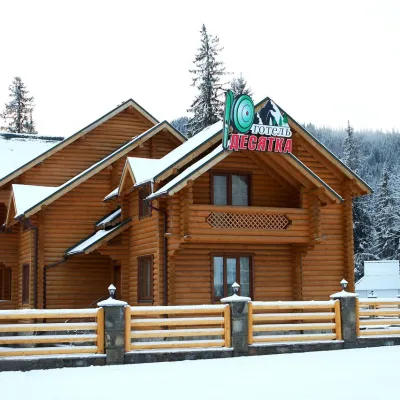 HotelHotel "Desyatka" Vorokhta (near Hoverlyansky Checkpoint)Vorokhta7.9 km from Polonyna MaryshevskaPoolSaunaBreakfastNearby: Mt Kukul 3.6 kmPolonyna Kukul 4.0 km5 trails
 HotelHotel-Restaurant "Bukov'yan"Kryvopillia9.2 km from Polonyna MaryshevskaHotel-Restaurant "Bukov'yan" offers a cozy getaway in the Carpathians, far from the hustle and bustle of the city.Nearby: Kryvopillia Pass 800 mPolonyna Dil 2.4 km6 trails
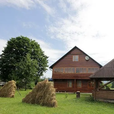 HomesteadHomestead "PID YAVOROM" Vorokhta (Tenth Kilometer)Vorokhta8.1 km from Polonyna MaryshevskaSaunaBBQKitchenNearby: Mt Kukul 3.7 kmPolonyna Kukul 4.1 km5 trails
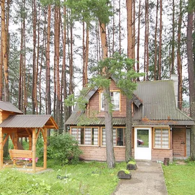 HomesteadHomestead "Sosnovyi Dvir" Vorokhta (Tenth Kilometer)Vorokhta8.1 km from Polonyna MaryshevskaSaunaBBQKitchenNearby: Mt Kukul 3.7 kmPolonyna Kukul 4.1 km5 trails
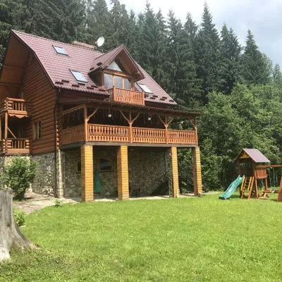 CottageCottage "Try Hory" Vorokhta (Tenth Kilometer)Vorokhta8.1 km from Polonyna MaryshevskaSaunaBBQKitchenNearby: Mt Kukul 3.7 kmPolonyna Kukul 4.1 km5 trails
Trails nearby
All trails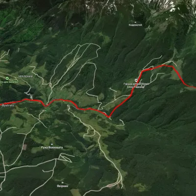 ModerateOne-dayUnmarkedBystrets village Mount ShpytsiElevation profile767–1 781 m12.5 kmascent 1 142 m≈ 5.5 h walkingunder 1 km from Polonyna Maryshevska
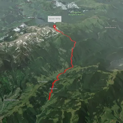 ModerateOne-dayMarkedBystrets village Mount Shpytsivia Maryshevska polonynaElevation profile781–1 916 m12.4 kmascent 1 671 m≈ 6.5 h walkingunder 1 km from Polonyna Maryshevska
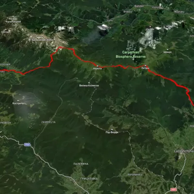 HardMulti-dayUnmarkedBystrets village to Yasiniavia Mount Shpytsi, Mount Hoverla +1Elevation profile650–2 030 m38.9 kmascent 2 192 munder 1 km from Polonyna Maryshevska
Nearby attractions
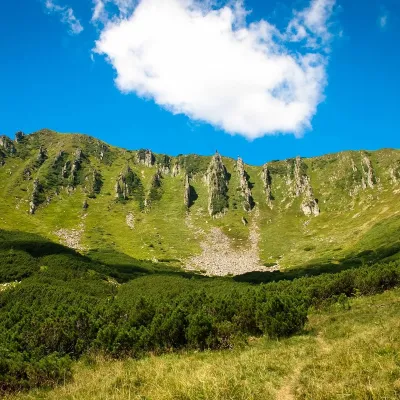 PeakMount ShpytsiBystretsaltitude 1 863 m · Chornohora range2.3 km from Polonyna Maryshevska35 trails to the topShpytsi is a mountain of the Ukrainian Carpathians, 1863 m high, which lies on the territory of Verkhovyna district of Ivano-Frankivsk region.
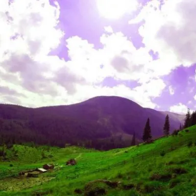 Mountain meadowPolonyna GadzhinaBystretsChornohora range2.8 km from Polonyna MaryshevskaIt seemed that the Chornohora massif was literally crowded with people, but sometimes you can come across places that either locals or tourists who have eaten the dog...
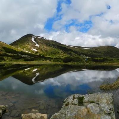 LakeHigh-mountainous Lake Nesamovite (1750 m.a.s.l., Chornohora ridge)Vorokhta4.3 km from Polonyna MaryshevskaNesamovyte is one of the highest lakes in the Ukrainian Carpathians (1750 m above sea level). It is located within the Nadvirna district of Ivano-Frankivsk region.
Craft nearby
All craft places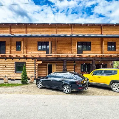 Koliby & Hutsul cuisineZRUB Ethno Restaurant, IltsiIltsi12 km from Polonyna MaryshevskaZRUB Ethno Restaurant is a new log-built home of Hutsul cooking in the village of Iltsi, on the edge of Verkhovyna, the town often called the Hutsul capital.
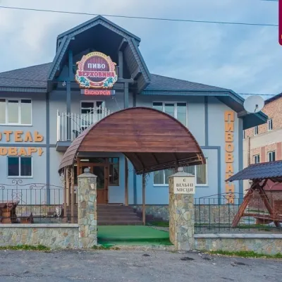 Craft beer & breweriesVerkhovyna Brewery at the Pyvovar Motel, VerkhovynaVerkhovyna15 km from Polonyna MaryshevskaVerkhovyna Brewery operates at the Pyvovar motel on the approach to Verkhovyna, the Hutsul capital of the Carpathians.
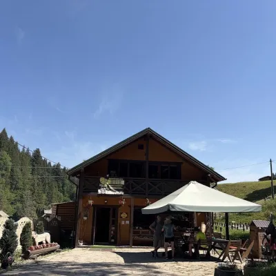 Craft shopsKopalnia Bryndzy cheese shop and tasting, VerkhovynaVerkhovyna17 km from Polonyna MaryshevskaKopalnia Bryndzy (“The Brynza Mine”) is a small farm cheese shop with a tasting room on the edge of Verkhovyna, in the valley of the Zhabievskyi stream.
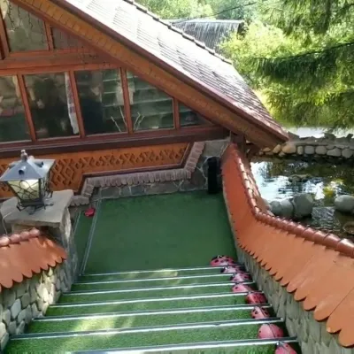 Koliby & Hutsul cuisineStara Vorokhta Restaurant, VorokhtaVorokhta17 km from Polonyna MaryshevskaStara Vorokhta restaurant ("Old Vorokhta") is one of the best-known places for Hutsul food in Vorokhta: on Google Maps it is rated 4.6 from more than 6,300 reviews, a...
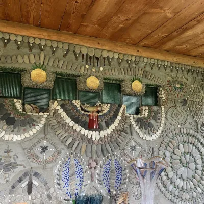 Ethno parks & homesteadsTsikava Sadyba Art and Ethno Homestead, VerkhovynaVerkhovyna17 km from Polonyna MaryshevskaTsikava Sadyba («The Curious Estate») is a private art homestead in the very centre of Verkhovyna that local housewife and artist Oksana Susiak has been shaping since...
 Markets & fairsTorhovyshche Souvenir Market, VerkhovynaVerkhovyna18 km from Polonyna MaryshevskaTorhovyshche is a modern souvenir market right in the centre of Verkhovyna, the capital of the mountain Hutsul region.
