Polonyna Blyznytsia
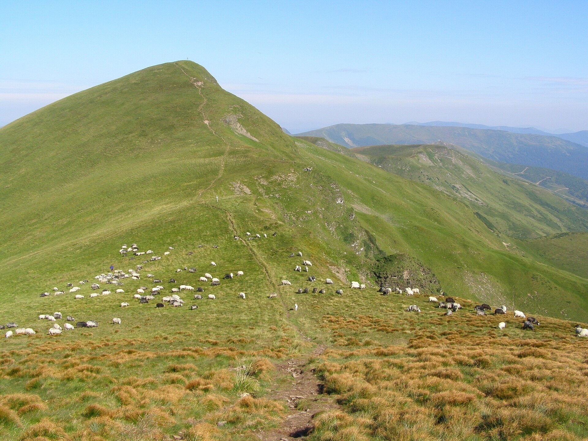
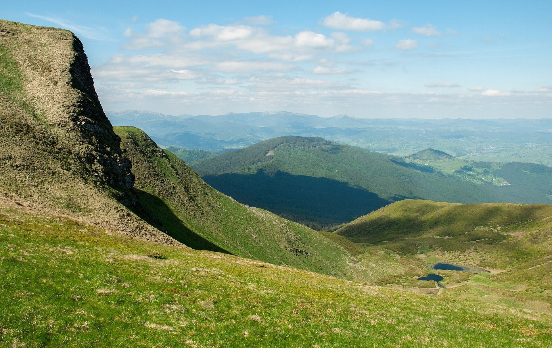
Blyznytsia polonyna is the summit pastureland of the highest massif of Svydovets, in the Rakhiv district of Zakarpattia. The massif has two almost identical summits: the northern one, Velyka Blyznytsia (1,883 m, other sources give 1,881 m), and the southern one (1,872 m). Forest climbs to about 1,300–1,400 m and there is hardly any dwarf pine, so above that the gentle southern and western slopes and the broad summit plateau are covered by continuous polonyna. The eastern side, by contrast, drops steeply into a glacial cirque with Lake Ivor.
People come here for the widest views in Svydovets, for the rare plants of the "Blyznytsia Rocks" and for the feel of true high mountains: grass, wind and ridges all the way to the horizon. The polonyna is easy to combine with Drahobrat, about 2.5 km from the summit, or with a long loop from Kvasy.
What you will see
On a clear day Blyznytsia shows you Chornohora with Hoverla and Petros, the Gorgany to the north, the Drahobrat valley and Lake Ivor beneath the cirque cliffs, and to the south the long pasture-covered spurs of Svydovets descending to the Tysa. The slopes below the summit look like a sea of grass above the forests. On the steep cliffs lies the botanical natural monument "Blyznytsia Rocks": edelweiss, Carpathian cat's-foot, mountain avens and alpine aster grow here, as well as alpine bartsia, roseroot and yellow whitlow-grass, which in the Ukrainian Carpathians occur only here. In spring crocuses bloom on the lower polonynas on the way from Kvasy, and blueberries ripen in late summer.
Shepherds, huts and cheese
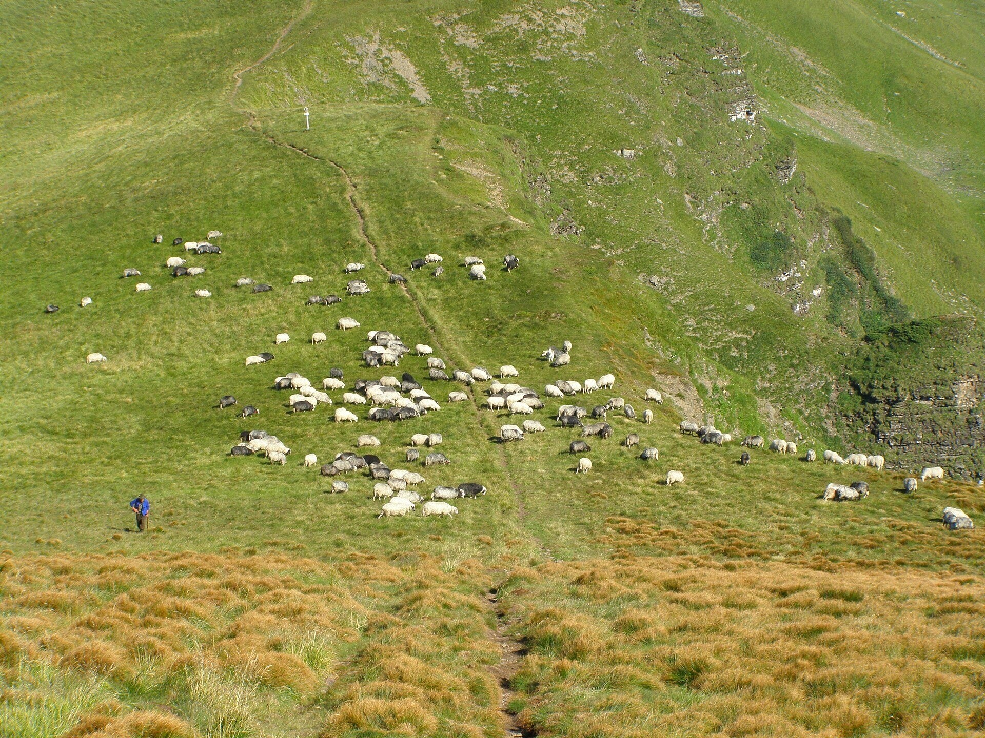
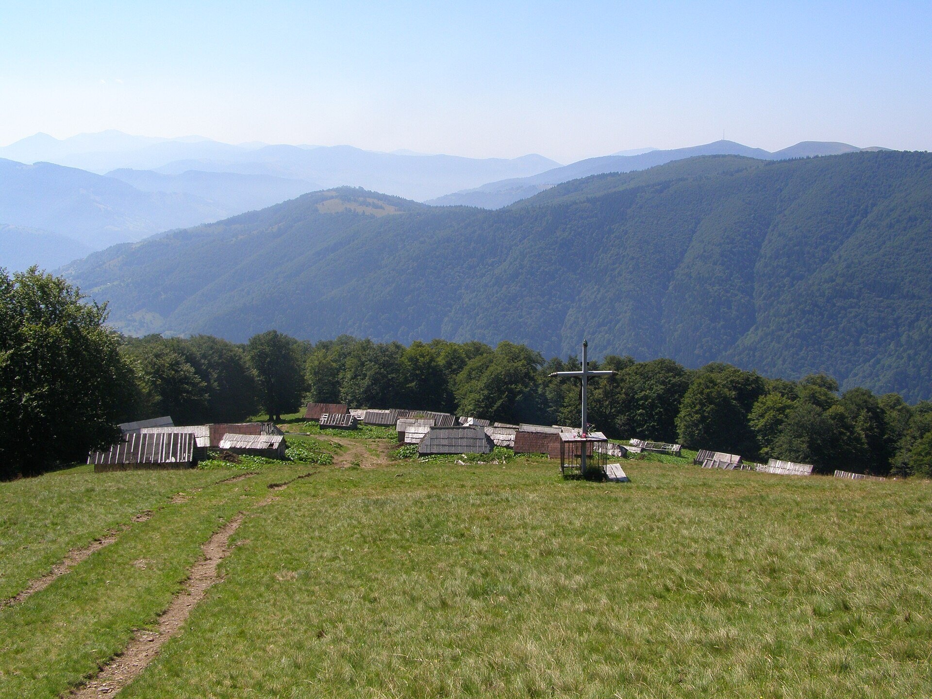
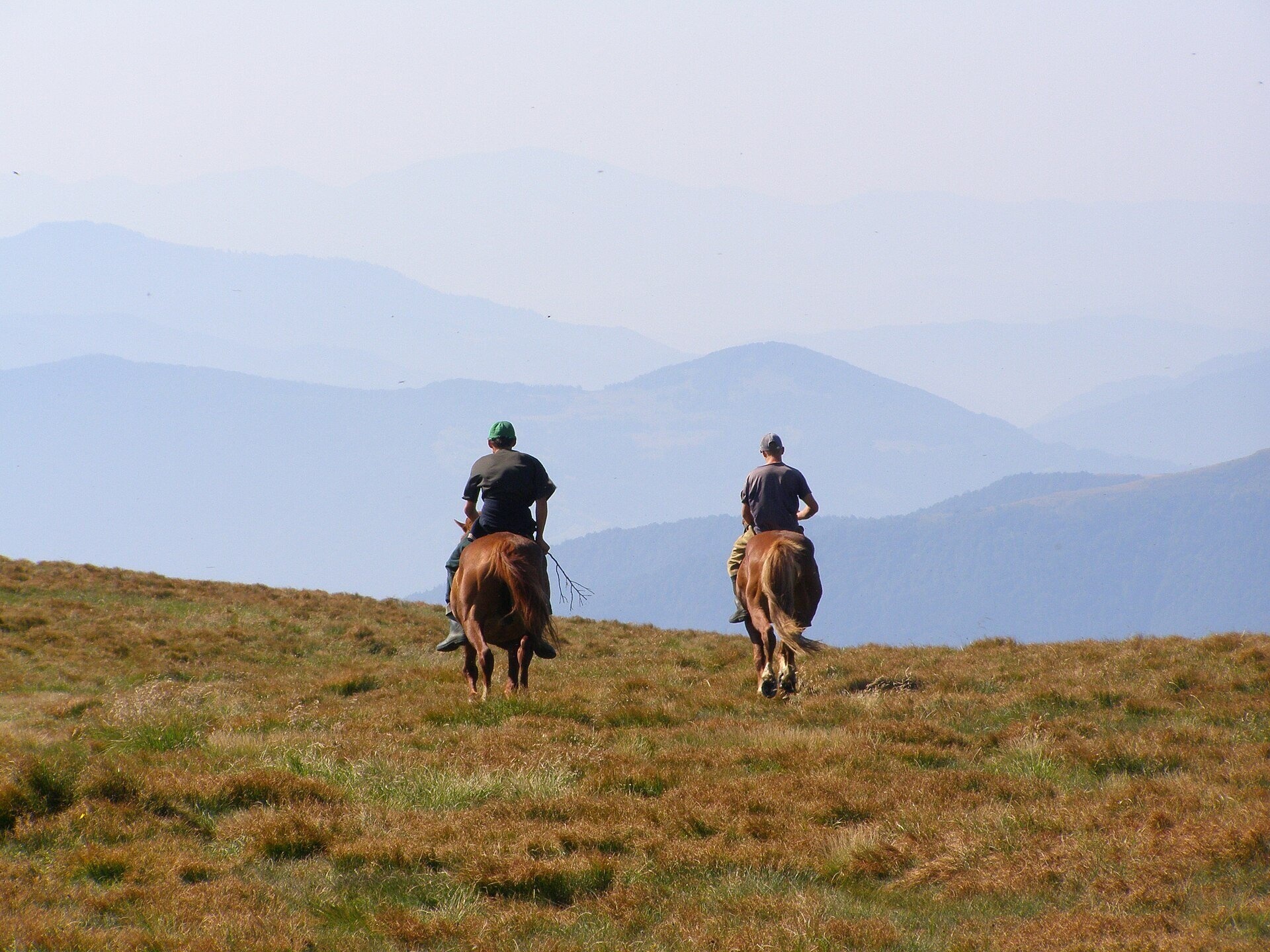
In summer sheep graze on the saddle between the summits, horses appear on the southern summit, and a shepherds' camp stands on the slopes below it, as photos show. The huts with cheese-making are lower down, on the southern polonynas: on Brailka hikers mention cheese huts selling sheep's cheese and vurda, and on Urda they advise coming before 3 pm, before the cheese is taken down to the valley. A sheep farm and a goat farm are marked on the route from Kvasy. Whether a particular hut is working this summer is not known in advance — ask locally. The shepherds keep many working dogs, so hikers advise not to bring your own dog on this trip.
History and legends
The massif is often called in the plural, "Blyznytsi", because it has two similar summits. Blyznytsia has long been a key point of the main Svydovets ridge, and the red route of the Zakarpattia hiking trail passes over it. On Velyka Blyznytsia and on the First Zhandarm there are memorial plaques to hikers who died in these mountains of hypothermia, falls or under snow.
Routes
- From Drahobrat. The shortest way: past Lake Ivor to the summit, about 2.5 km one way. Our route "Drahobrat – Mt Blyznytsia – Drahobrat". For those not ready for a long climb this is the easiest option: you can reach Drahobrat by off-road vehicle, and in some summer seasons, according to hikers, a lift to the saddle also runs — check locally.
- Loop from Kvasy. Kvasy – Bilynska – Stara – Pereslip – Mala Blyznytsia – Blyznytsia – Kvasy: 22.6 km and about 1,465 m of ascent. Officially 8 hours, but most hikers need 10–12 hours or split the loop into two days. Our route "Kvasy – Mt Blyznytsia – Kvasy".
- Blue waymarks from Kvasy. Via Zasovy, Stara and Pereslip to Blyznytsia — about 24 km, up to 10 hours.
- Along the main ridge. A variant of the red-marked Ust-Chorna – Kvasy traverse: Stih, the Zhandarms, the northern and southern Blyznytsia summits, then down over the Strimcheska and Brailka polonynas to Kvasy station, about 46.5 km. Crossing from Yasinia: via Drahobrat, Blyznytsia and Lake Ivor to Kvasy.
- From Rakhiv. A long ascent along the southern spurs: "Rakhiv – Mt Blyznytsia – Kvasy".
Getting there
The easiest way is by train on the Ivano-Frankivsk – Rakhiv line to Kvasy station (start of the loop via Trostianets and the Brailka or Shesa polonynas) or to Yasinia, where off-road vehicles take you up to Drahobrat. From the resort it is about 2.5 km on foot to the summit.
When to go and weather
The polonynas are free of snow roughly from June to October; the best time is July to September. Patches of snow can lie on the summit until May, and in October new snow may already fall; hikers describe strong wind on the plateau even on clear days. Autumn is especially beautiful here, when the grass turns russet. In summer morning fog and afternoon thunderstorms are common.
Water, shelters and overnight
There is little water on the ridge itself. The spring below the rock near the summit is weak, and the way down to it is risky; lower down there is a snowfield that does not melt until late summer. There is more water on the polonynas of the southern spurs, by the huts and streams, such as the spring below Blyznytsia. There are no shelters on the plateau; the nearest are the cabin below Mount Blyznytsia and the hut on Hropa polonyna. Tents are pitched on a flat spot between the Zhandarms (no water), by Lake Ivor or on the polonynas around Pereslip and Brailka. Hotels are in Kvasy, Yasinia and Drahobrat.
Safety
- The plateau is completely open: in fog it is easy to lose the path, and there is nowhere to hide from a thunderstorm. Start early and follow the forecast.
- Keep away from the edge of the cliffs above the cirque and do not climb down to the spring below the rock in wet weather.
- Near flocks do not run from the dogs; stop and call the shepherd, and walk around the flock.
- The summit is part of the Svydovets section of the Carpathian Biosphere Reserve: do not pick edelweiss or other plants.
- In winter and spring avalanches and icy slopes are possible. In an emergency call 112, the mountain search and rescue service of the State Emergency Service (101), ambulance 103.
What visitors say
- The loop from Kvasy is much harder than the promised 8 hours: most people take 10–12 hours or camp on the polonyna.
- The hardest parts are the last 2–3 km of steep climbing to the summit and the long rocky descent through the forest, which tires the legs.
- There are few working springs on the route, so fill up in advance.
- Waymarks are not everywhere, but the path is mostly clear.
- There are few people even in summer, and the views from the summit are the main reward; autumn is especially beautiful.
- Snow can be found on the summit both in May and already in October, and a strong wind often blows on the plateau.
Polonynas and peaks around
- Mount Blyznytsia (1,883 m) — the highest summit of Svydovets.
- Mount Mala Blyznytsia — a fore-summit on the southern spur, on the way from Kvasy.
- Mount Drahobrat (Zhandarm) — the rocky Zhandarms north of Blyznytsia.
- Drahobrat polonyna — the resort and main hiking base, 2.5 km to the north.
- Brailka polonyna and Urda polonyna — southern pastures with huts where cheese is made in summer.
- Mount Stara (1,472 m) — a summit on the loop from Kvasy.
- Mount Stih (1,704 m) — a neighbouring summit of the main ridge.
Photos: Daniel Baránek, CC BY-SA 3.0, Wikimedia Commons; Nata Mostova, CC BY-SA 4.0, Wikimedia Commons; Annair86, CC BY-SA 4.0, Wikimedia Commons.
Video 2
 БЛИЗНИЦЯ | Похід з Ясіня через Драгобрат на найвищу вершину Свидовця (1881 м)Мандрівниця Одрі

Location on the map
Water and shelter nearby
- Spring below Mount Blyznytsia (5)920 m · Weak flow · 1 759 m
- Spring below Mount Blyznytsia (6)1.3 km · Not verified · 1 294 m
- Cabin below Mount Blyznytsia1.4 km · Standing · 1 268 m
- Hut on Polonyna Svydovets1.5 km · Not verified · 1 298 m
- Hut on Polonyna Steryshora1.6 km · Not verified · 1 236 m
- Spring below Mount Blyznytsia (3)1.6 km · Not verified · 1 581 m
- Hut on Polonyna Hropa1.7 km · Not verified · 1 311 m
- Spring below Mount Blyznytsia (4)1.9 km · Not verified · 1 427 m
- Spring (Trostyanets, 24)2 km · Not verified · 1 474 m
- Spring (Trostyanets, 20)2.1 km · Not verified · 1 486 m
- Spring below Mount Blyznytsia (2)2.4 km · Not verified · 1 503 m
- Spring (Yasinya, 2)2.5 km · Not verified · 1 258 m
- Spring (Trostyanets, 22)2.7 km · Not verified · 1 384 m
- Spring (Trostyanets, 18)2.7 km · Not verified · 1 504 m
- Mountain shelter below Mount Blyznytsia (2)2.8 km · Not verified · 1 389 m
- Spring below Mount Stih (17)3 km · Not verified · 1 512 m
Comments
Places to stay nearby
All stays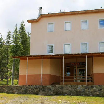 HotelSports and Tourism Complex "Oaza" DragobratDrahobrat2.7 km from Polonyna BlyznytsiaPoolSaunaBreakfastNearby: Mt Stih 1.7 kmMt Bliznytsia 2.4 km9 trails
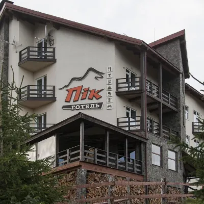 HotelHotel "PiK" DragobratYasinya3 km from Polonyna BlyznytsiaHot tubSaunaKitchenNearby: Mt Stih 1.7 kmMt Bliznytsia 2.7 km9 trails
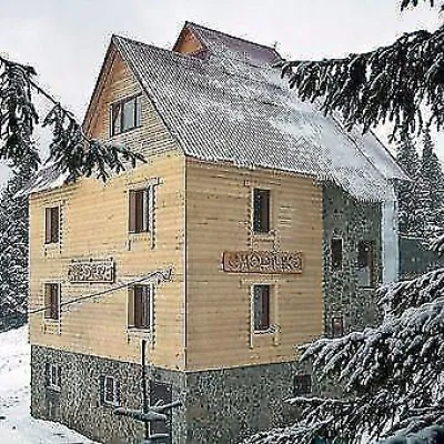 HotelHotel "Smerichka" Yasinya (Dragobrat)Yasinya3 km from Polonyna BlyznytsiaThe four-story wooden hotel "Smerichka" Dragobrat with 40 places is located 300 m from the nearest ski lift.Nearby: Mt Stih 1.7 kmMt Bliznytsia 2.7 km9 trails
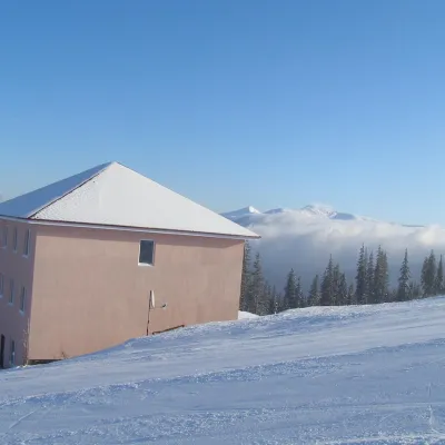 HotelHomestead "Malva"Drahobrat3.3 km from Polonyna BlyznytsiaTransferNearby: Mt Stih 900 mMt Bliznytsia 2.6 km9 trails
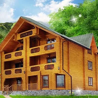 HotelHotel "Kazka Karpat" DragobratYasinya3.3 km from Polonyna BlyznytsiaTransferNearby: Mt Stih 1.3 kmMt Bliznytsia 2.9 km9 trails
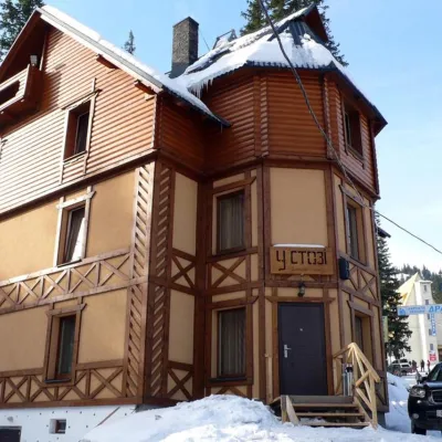 HotelHotel "U Stozi" (Dragobrat - Yasinya)Yasinya3.3 km from Polonyna BlyznytsiaBBQParkingWi‑FiNearby: Mt Stih 1.2 kmMt Bliznytsia 2.9 km9 trails
Trails nearby
All trails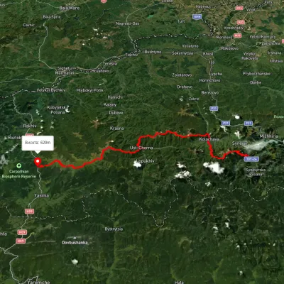 HardMulti-dayUnmarkedSynevyr village to Kvasy villagevia Mount Nehrovets, Mereshor village +3Elevation profile516–1 843 m100.3 kmascent 5 367 munder 1 km from Polonyna Blyznytsia
 EasyOne-dayUnmarkedDragobrat loopvia Mount BlyznytsiaElevation profile1 534–1 876 m7.1 kmascent 636 m≈ 3 h walkingunder 1 km from Polonyna Blyznytsia
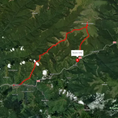 HardMulti-dayUnmarkedRakhiv to Kvasy villagevia Mount BlyznytsiaElevation profile434–1 855 m31.7 kmascent 1 840 m≈ 11.5 h walkingunder 1 km from Polonyna Blyznytsia
Nearby attractions
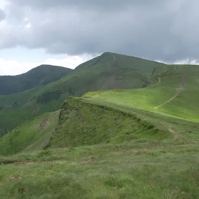 PeakMount BliznytsiaYasinyaaltitude 1 883 m · Svydovets range1.4 km from Polonyna Blyznytsia52 trails to the topBlyznytsia (also called Bliznytsia, Blyzhnytsia) are two mountains of the Ukrainian Carpathians, located in the eastern part of the Svydovets mountain range.
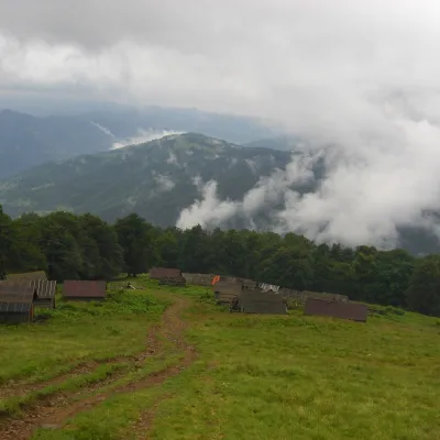 Mountain meadowPolonyna BrailkaKvasyaltitude 1 350 m · Svydovets range3 km from Polonyna BlyznytsiaPolonyna Brailka (in some sources and on our site also Braivka) is a mountain pasture on the south-eastern slopes of the Svydovets massif, above the village of Kvasy...
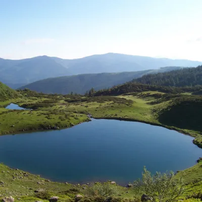 LakeLake VorozheskayaChorna Tysa7.7 km from Polonyna BlyznytsiaThe real pearl of the Carpathians - Lake Vorozheska (other names - Vorozheska, Triton ) - is a hydrological natural monument of local importance, a high-mountain lake...
Craft nearby
All craft places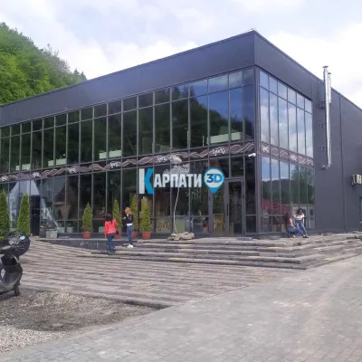 Craft beer & breweriesTsypa Brewery, KvasyKvasy7.7 km from Polonyna BlyznytsiaThe Tsypa Hutsul craft brewery in Kvasy is probably the best-known brewery in the Ukrainian Carpathians.
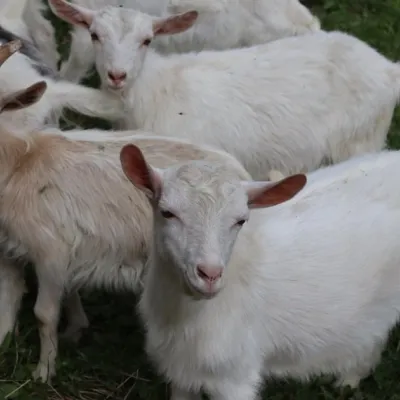 Eco farmsRozental Eco-Farm and Cheese Dairy, KvasyKvasy7.8 km from Polonyna BlyznytsiaBeer and cider are brewed here, sheep's-milk ice cream is made, and in the Vaskul area above the village sits the Rozental eco-farm and cheese dairy.
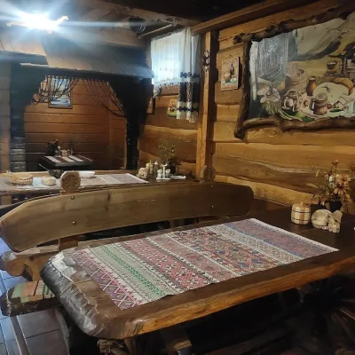 Koliby & Hutsul cuisineU Rizbaria Café, YasiniaYasinya10 km from Polonyna BlyznytsiaU Rizbaria Café (“At the Woodcarver’s”) in Yasinia is a small Hutsul place serving home cooking that travellers usually find by word of mouth.
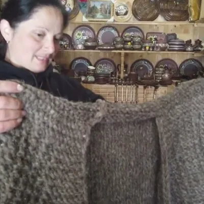 Markets & fairsSouvenir Market on the Yablunytsia Pass, YablunytsiaYablunytsia17 km from Polonyna BlyznytsiaThe souvenir market on the Yablunytsia Pass is one of the best-known roadside bazaars in the Carpathians.
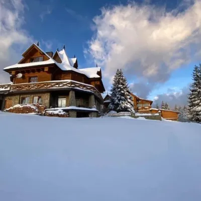 Koliby & Hutsul cuisineVysokyi Pereval Koliba, YablunytsiaYablunytsia18 km from Polonyna BlyznytsiaVysokyi Pereval Koliba ("High Pass") stands in Yablunytsia, on the new road to Bukovel, in the Horishkiv area.
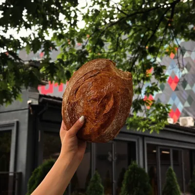 Craft producersDU-MEN craft bakery, RakhivRakhiv18 km from Polonyna BlyznytsiaDU-MEN (DU•MEN.craft bakery) is a craft bakery in Rakhiv which, in its own words, has been baking “bread with a history” for twelve years.
