Mount Pohanets
Pohanets is a 1,667 m summit in the western Gorgany, in the Kalush district of Ivano-Frankivsk Oblast (formerly Dolyna district). It stands on the ridge that runs from the Svicha river to the Moloda river, together with Velykyi and Malyi Lysak, Yaiko-Ilemske, Ukernia, Syvania Lolynska, Moloda and Yaiko-Perehinske. The nearest village and the usual starting point is Myslivka, about 13 km to the north-west.
Pohanets is one of the highest peaks of this range. To the north, about 1.1 km away, a deep saddle separates it from Yaiko-Ilemske (1,680 m); a kilometre to the south stands Ukernia (1,620 m), and further on Syvania Lolynska (1,643 m). The western, south-western and northern slopes are steep and in places precipitous, and boulder fields known locally as “grehoty” lie near the top. The summit itself is open; lower down the slopes are covered with dwarf mountain pine giving way to spruce forest. The Ukerna protected forest lies south of the mountain.
How to get there
Seven of our routes cross Pohanets or pass within 140 m of it, almost all of them from Myslivka. The shortest is Myslivka – Yaiko-Perehinske – Solotvynka (22.3 km). For a loop take Myslivka – Mount Yaiko-Ilemske – Mount Horhan-Ilemskyi – Myslivka (36.3 km, about 1,760 m of ascent) or the longer Myslivka – Mount Yaiko-Ilemske – Mount Horhan-Ilemskyi – Myslivka (47.2 km). To cross the central Gorgany, choose Myslivka – Mount Yaiko-Ilemske – Mount Moloda – Mount Hrofa – Mount Popadia – Osmoloda (61.3 km).
Water, shelter and safety
On our map the nearest spring is about 220 m south-east of the summit at roughly 1,530 m, another one 350 m to the north-east (around 1,580 m), and stream water can be collected 550–720 m to the south-east. Their condition is unknown. The shelter below Yaiko-Ilemske, about 1.3 km to the north-east, is marked as ruined, so don’t count on a roof. The boulder fields are slippery after rain, and in fog it is easy to lose the path among the dwarf pine and rocks. The nearest summit with our forecast is weather on Hrofa (about 11 km away). In an emergency call 112 or 101 — mountain rescue works around the clock.
Interesting facts
- A marked (black) trail crosses the summit, leading from the Solotvynka pasture over Syvania Lolynska and Ukernia to Yaiko-Ilemske.
- A red-marked path once climbed the western spur of Pohanets from the Svicha valley, but it is neglected and is not going to be restored.
Comments
Places to stay nearby
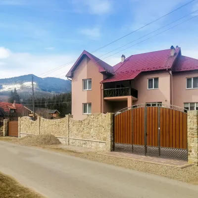 HotelDen House11 km from Mount PohanetsPoolSaunaBreakfastNearby: Mt Gorgan-Ilemsky 8.0 kmMt Yayko-Ilemske 10.0 km7 trails
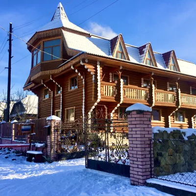 HotelChayna Khata15 km from Mount PohanetsHot tubBBQKitchen
 Homestead"U Davidka i Matviika"19 km from Mount PohanetsFireplaceKitchenParkingNearby: Mt Petros Gorgansky 4.6 kmMt Studenets 3.8 km2 trails
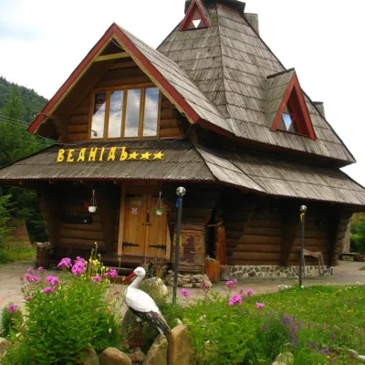 HotelHotel "Vedmid" Mykulychyn12 km from Mount PohanetsSaunaSPAFireplaceNearby: Mt Gorgan-Ilemsky 8.4 kmPolonyna Shchavna 9.4 km7 trails
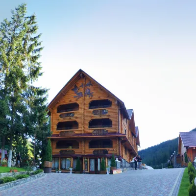 HotelHotel and Restaurant Complex "Arnika" Synevyrska Polyana13 km from Mount PohanetsHot tubPoolSaunaNearby: Ozerna Mountain 2.9 kmPolonyna Hycha 8.5 km6 trails
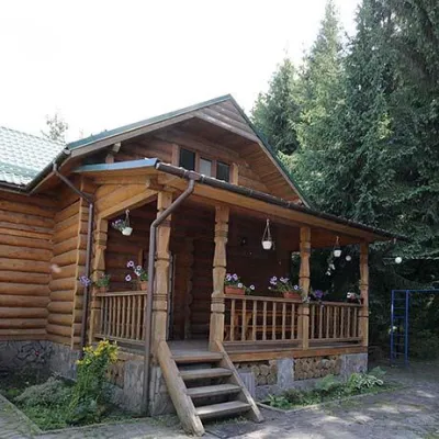 CottageCottages "Pid Lisom" Vyshkiv13 km from Mount PohanetsHot tubPoolSaunaNearby: Big Megla 9.3 km
Trails nearby
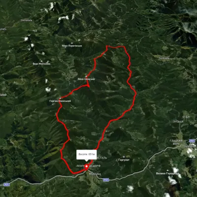 HardMulti-dayUnmarkedMyslivka village loopvia Mount Yayko-Ilemske, Mount Horhan-IlemskyiElevation profile648–1 656 m47.2 kmascent 2 092 munder 1 km from Mount Pohanets
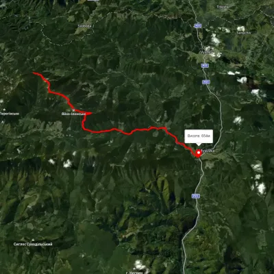 HardTwo-dayMarkedMyslivka Solotvynkavia Yayko PerehinskeElevation profile651–1 658 m22.3 kmascent 972 m≈ 7.5 h walkingunder 1 km from Mount Pohanets
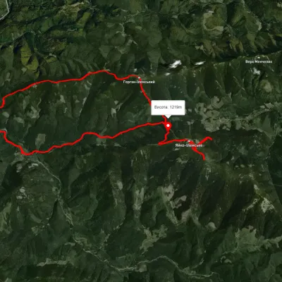 HardMulti-dayUnmarkedMyslivka village loopvia Mount Yayko Ilemske, Mount Horhan IlemskyiElevation profile593–1 675 m36.3 kmascent 1 759 m≈ 12.5 h walkingunder 1 km from Mount Pohanets
Nearby attractions
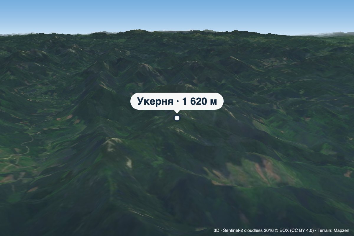 PeakMount Ukerniaaltitude 1 620 m · Gorgany range1 km from Mount PohanetsUkernia is a 1,620 m summit in the western Gorgany, in Ivano-Frankivsk Oblast, on the ridge between the Svicha and Moloda valleys.
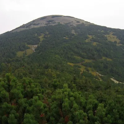 PeakMount Yayko-Ilemskealtitude 1 680 m · Gorgany range1.1 km from Mount Pohanets7 trails to the topMount Yayko-Ilemske is the peak of the Ukrainian Carpathians, located in the western part of the Gorgan mountain range.
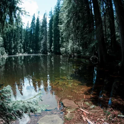 LakeLake Arshitsa, Osmoloda4.6 km from Mount PohanetsLake Arshytsia is the highest lake on the ridge (1300 m) and was recently discovered in April 2009 by a tourist from the Dolyna, Viktor Verkhovynets, as evidenced by a...