Mount Prybui
Prybui is a 1,546 m summit in the south-western Gorgany, in the Tiachiv district of Zakarpattia Oblast. It belongs to the Bushtul group, which lies south of the Nimetskyi pass (1,177 m), and closes the south-western shoulder that branches off from Mount Bushtul. The nearest village is Nimetska Mokra, about 2.6 km away; a little further lie Pryslip (about 5 km) and Ruska Mokra (about 6 km), with Kolochava to the south-west (about 9.5 km).
According to OpenStreetMap, the nearest neighbouring summit is Pryslup (1,337 m), about 2.1 km to the north-east. Higher up the same shoulder, about 6 km to the north-east, stands Stranzul (1,630 m). The nearest springs in the valleys lie at 640–700 m, so from there you need to climb more than 800 m to the summit.
How to get there
Our site has no marked route to the summit itself yet. Our nearest routes pass about 2.3 km from Prybui: Bert ridge – Mount Bushtul – Nimetska Mokra (21.3 km) descends along the ridge to Nimetska Mokra, and the multi-day Lopukhiv – Legioniv pass – Peklo – Mount Syvulia – Mount Popadia – Nimetska Mokra – Ust-Chorna (94.1 km) runs through the same village. Climbing Prybui from these routes requires navigation skills and a map.
Water, shelter and safety
Our map shows no water near the summit. The nearest springs are marked down in the valleys — about 2.5 km to the west (around 695 m) and 3.2 km to the south (around 635 m) — and a picnic shelter near Pryslip is about 3.4 km to the west. Their condition is unknown, so bring water from the village. Gorgany summits are often covered with rocks and dwarf pine, so in fog it is easy to lose your bearings. The nearest summit with our forecast is weather on Hrofa (about 25 km away). In an emergency call 112 or 101 — contacts of the nearest units are on our mountain rescue page.
Interesting facts
- Prybui is the last, south-westernmost summit of the shoulder that runs from Bushtul.
- Nimetska Mokra is only about 2.6 km from the summit as the crow flies — the summit literally towers over the village.
Comments
Places to stay nearby
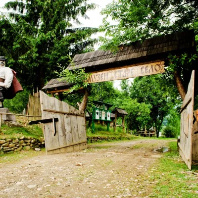 HotelComplex "Stare Selo" Mykulychyn12 km from Mount PrybuiParkingTransferNearby: Holy Spirit Church 200 mMt Strymba 6.9 km10 trails
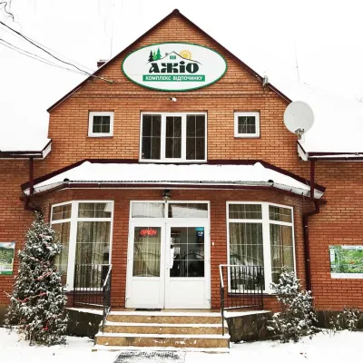 HotelRecreation Complex "Azhio" Mykulychyn Village13 km from Mount PrybuiSaunaKitchenTransferNearby: Holy Spirit Church 1.2 kmMt Negrovets 7.8 km9 trails
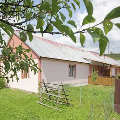 CottageCottage "Yalivets" Kolochava13 km from Mount PrybuiHot tubBBQKitchenNearby: Holy Spirit Church 1.7 kmMt Negrovets 7.3 km9 trails
Trails nearby
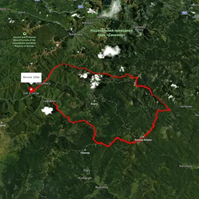 HardMulti-dayUnmarkedLopukhiv village to Ust-Chorna villagevia Legioniv Pass, Peklo tract +3Elevation profile522–1 809 m94.1 kmascent 3 095 m2.9 km from Mount Prybui
 ModerateTwo-dayUnmarkedBert ridge to Nimetska Mokra villagevia Mount BushtulElevation profile618–1 710 m21.3 kmascent 684 m≈ 6.5 h walking2.9 km from Mount Prybui
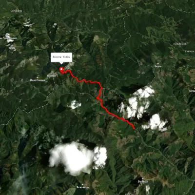 HardTwo-dayMarkedUst-Chorna Mount PopadiaElevation profile798–1 483 m15.4 kmascent 1 513 m≈ 7 h walking6.5 km from Mount Prybui
Nearby attractions
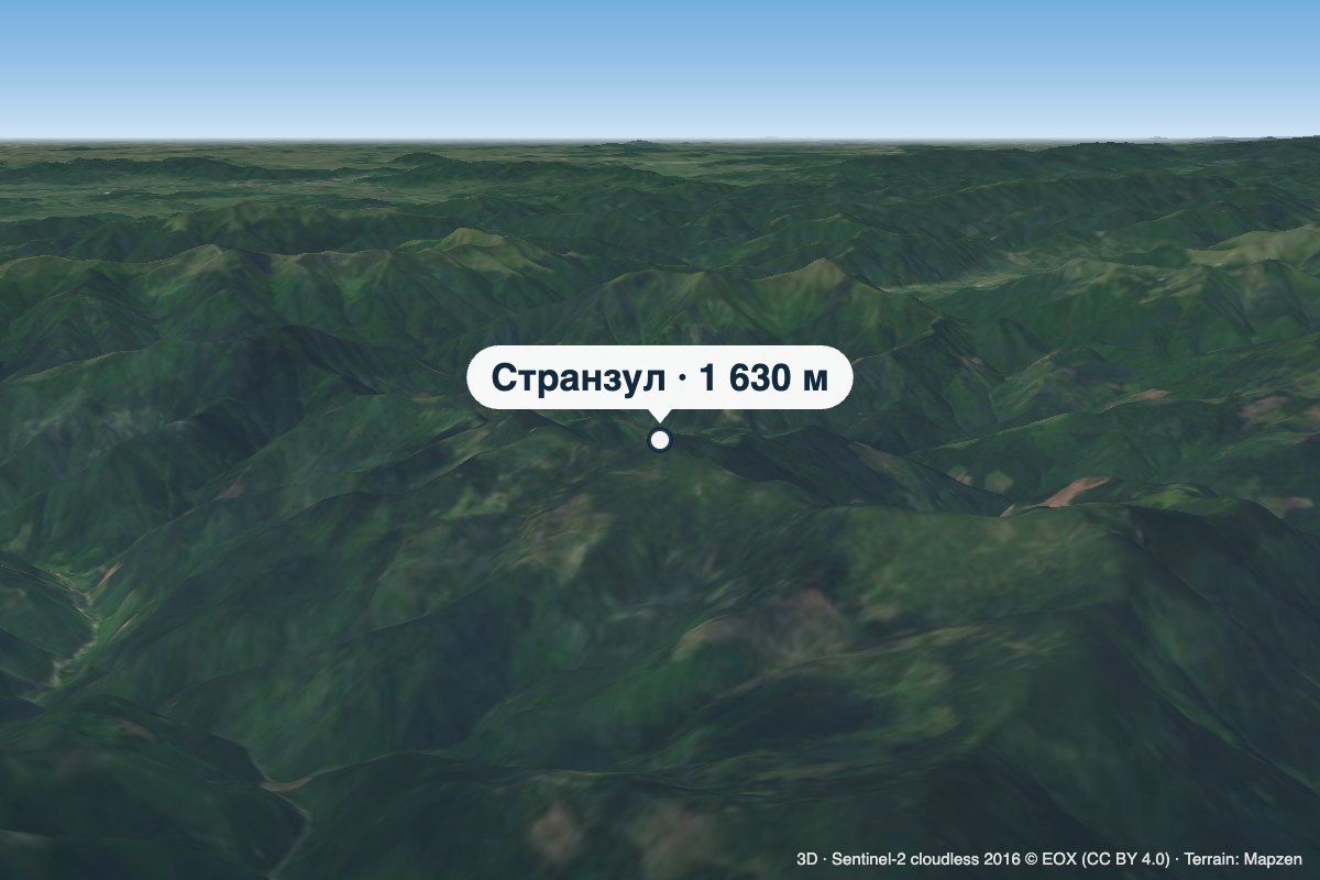 PeakMount Stranzulaltitude 1 630 m · Gorgany range5.9 km from Mount PrybuiStranzul is a 1,630 m summit (1,631 m according to other sources) in the south-western Gorgany. It belongs to the Bushtul group, which lies south of the Nimetskyi pass...
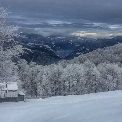 PeakMount Syhlanskyialtitude 1 564 m · Svydovets range6.4 km from Mount PrybuiSyhlanskyi is the highest peak of the Polonyna Krasna massif in the Ukrainian Carpathians. It lies in the Tiachiv district of Zakarpattia Oblast, between the villages...
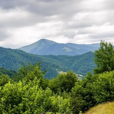 PeakMount Strymbaaltitude 1 719 m · Gorgany range6.5 km from Mount Prybui4 trails to the topMount Strymba is a 1,719-meter peak of the Ukrainian Carpathians, which lies within the Gorgan mountain range - on the territory of the Pryvododilni Gorgan.