Mount Mala Blyznytsia
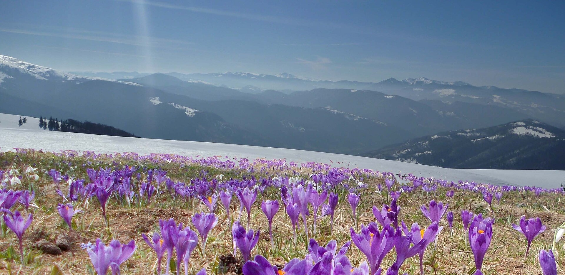
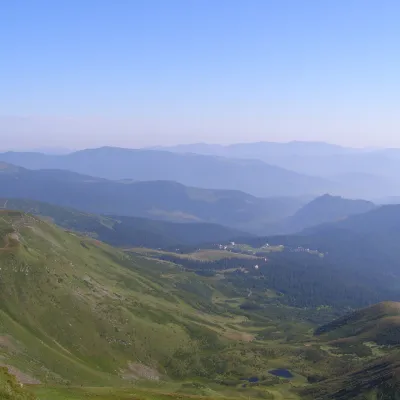
Mala Blyznytsia is a 1,566 m summit in the Svydovets range, in the Rakhiv district of Zakarpattia Oblast. It sits on the ridge climbing from Rakhiv to the range’s highest peak, Blyznytsia (1,883 m), about 2 km to the north-east. The nearest villages are Trostianets (about 6 km) and Kvasy (about 7 km); Drahobrat is about 8.5 km away.
From Mala Blyznytsia both tops of Blyznytsia are in full view — the southern one (1,872 m) about 1.7 km away and the northern one (1,883 m) 2.3 km away — with the rocky Zhandarm peaks (1,710–1,785 m) further north. To the south-west the ridge drops to Pereslup (1,452 m, about 1.2 km) and Stara (1,472 m, about 2.7 km). Svydovets is a range of broad mountain pastures, and glacial cirques with lakes survive on the northern slopes of the main ridge, among them Drahobratske (Ivor).
How to get there
20 of our routes cross Mala Blyznytsia or pass right next to it — nearly all those leading to Blyznytsia from Rakhiv and Kvasy. The classic ascent is Rakhiv – Blyznytsia (23.2 km). You can also cross Svydovets: Rakhiv – Mount Blyznytsia – Kvasy (31.7 km) or Rakhiv – Mount Blyznytsia – Drahobrat (29.7 km). A loop from Kvasy is Kvasy – Stara – Blyznytsia – Lake Ivor – Kvasy (25.8 km, about 1,830 m of ascent). For a multi-day hike take Krasna – Tempa – Troiaska – Blyznytsia – Rakhiv (62.5 km).
Water, shelter and safety
On our map the nearest spring is about 390 m to the south-west (at about 1,500 m, condition unknown); two more lie 900 m and 1.05 km in the same direction, one of them marked as working. About 1.3 km to the south stands a hut on the Shesa pasture, and two drinking-water taps are marked 1.3–1.4 km away. Shelters on the Flantus pasture and below Blyznytsia are about 2.1 km to the west and north-west. The ridge is completely open: thunderstorms, strong wind and fog are dangerous here, and the eastern part of Svydovets belongs to the Carpathian Biosphere Reserve — follow its rules. For the forecast see the weather on Blyznytsia, the nearest summit with our forecast (about 2 km). In an emergency call 112 or 101 — contacts of the nearest units are on our mountain rescue page.
Interesting facts
- The cliffs of the two tops of neighbouring Blyznytsia form the “Blyznytsia Rocks” botanical monument — one of the few places in Ukraine where edelweiss grows.
- The main ridge of Svydovets curves in an arc about 25 km long, from Mount Kinets over Tempa, Unhariaska and Stih to Blyznytsia.
Photos: Senchyna, CC BY-SA 4.0 — Wikimedia Commons.
Location on the map
Comments
Places to stay nearby
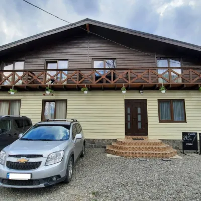 HotelCube (KUB)6.8 km from Mount Mala BlyznytsiaBBQParkingWi‑FiNearby: Mt Sheshul 7.2 kmMt Bliznytsia 8.6 km44 trails
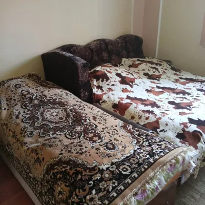 CottageHomestead "U Ivanky"7.2 km from Mount Mala BlyznytsiaKitchenWi‑FiNearby: Mt Sheshul 7.1 kmNyzhnyi Huk waterfall 9.2 km44 trails
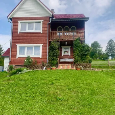 HomesteadGuest house "U Iryny"13 km from Mount Mala BlyznytsiaWelcome to our cozy house located in the very heart of the Carpathians. This is the perfect place for those seeking solitude, harmony with nature, and to return home...Nearby: Strukivska Church 2.0 kmChurch of the Transfiguration 1.2 km40 trails
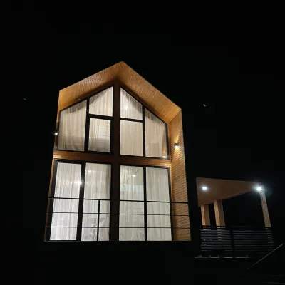 CottageArtMi16 km from Mount Mala BlyznytsiaFireplaceKitchenParkingNearby: Church of the Transfiguration 2.8 kmStrukivska Church 5.7 km32 trails
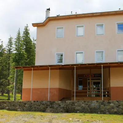 HotelSports and Tourism Complex "Oaza" Dragobrat4.6 km from Mount Mala BlyznytsiaPoolSaunaBreakfastNearby: Mt Bliznytsia 2.4 kmMt Stih 1.7 km9 trails
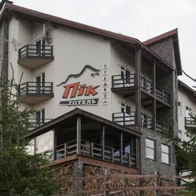 HotelHotel "PiK" Dragobrat4.9 km from Mount Mala BlyznytsiaHot tubSaunaKitchenNearby: Mt Bliznytsia 2.7 kmMt Stih 1.7 km9 trails
Trails nearby
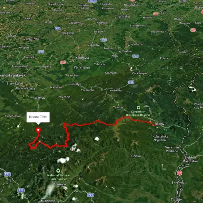 HardMulti-dayUnmarkedRakhiv to Osmoloda villagevia Mount Blyznytsia, Mount Troiaska +1Elevation profile437–1 858 m134.1 kmascent 7 086 munder 1 km from Mount Mala Blyznytsia
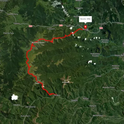 HardMulti-dayUnmarkedKrasna village to Rakhivvia Mount Tempa, Mount Troiaska +1Elevation profile436–1 837 m62.5 kmascent 3 128 munder 1 km from Mount Mala Blyznytsia
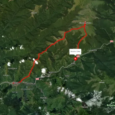 HardMulti-dayUnmarkedRakhiv to Kvasy villagevia Mount BlyznytsiaElevation profile434–1 855 m31.7 kmascent 1 840 m≈ 11.5 h walkingunder 1 km from Mount Mala Blyznytsia
Nearby attractions
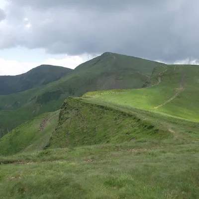 PeakMount Bliznytsiaaltitude 1 883 m · Svydovets range2.3 km from Mount Mala Blyznytsia52 trails to the topBlyznytsia (also called Bliznytsia, Blyzhnytsia) are two mountains of the Ukrainian Carpathians, located in the eastern part of the Svydovets mountain range.
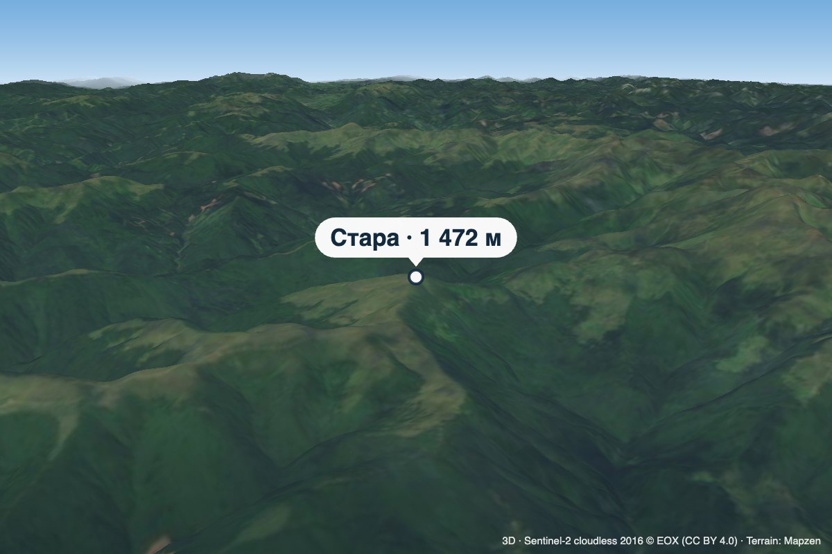 PeakMount Staraaltitude 1 472 m · Svydovets range2.7 km from Mount Mala BlyznytsiaStara is a 1,472 m summit in the Svydovets range, in the Rakhiv district of Zakarpattia Oblast. It lies on the long pasture ridge carrying the popular ascent from...
 PeakMount Drahobrat (Zhandarm)altitude 1 763 m · Svydovets range3.3 km from Mount Mala BlyznytsiaDrahobrat, also called the First Zhandarm, is a 1,763 m mountain on the Urdu-Flavantuch ridge in the eastern part of the Svydovets massif.