Mount Radul
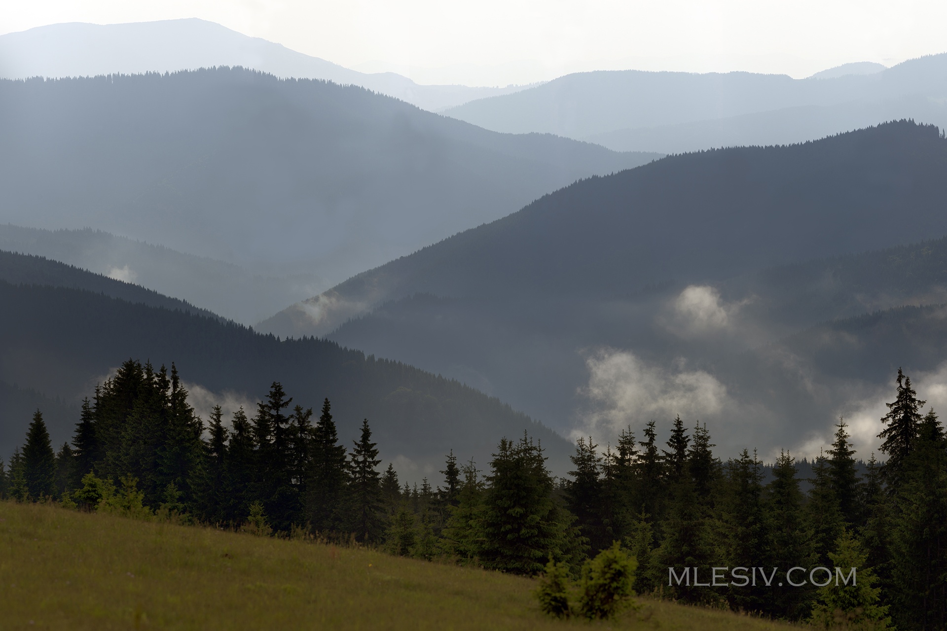
Radul is a 1,598 m summit in the Marmarosh Massif, where the Hutsul Alps meet the Chyvchyn Mountains. It stands about a kilometre north of Stih (1,653 m), which carries the Ukrainian–Romanian border. The area is uninhabited: the hamlet of Burkut is about 11 km away, Luhy more than 13 km, and Yavirnyk (Shybene) about 14 km.
Below the summit lies the Radul pasture with a shepherds’ hut. From Stih a ridge runs north over Shchavnyk and Vykhid towards Pip Ivan of Chornohora, and Radul is the first prominent top on that way. About 2 km to the south-east rises Rehieska (1,569 m), 1.9 km to the south Yurchesku-Mare (1,600 m), and 3.1 km to the south-west Korbul (1,696 m).
How to get there
29 of our routes pass within 300 m of Radul, though most skirt the summit on the slope, 250–300 m away. The closest, at about 90 m, is the long loop Bohdan – Pip Ivan Marmaroskyi – Mika-Mare – Pip Ivan (Chornohora) – Luhy – Bohdan (79.4 km). The ridge route Mount Mezhypotoky – Mika-Mare – Steavul – Stih – Radul pasture (17.6 km) ends on the Radul pasture. Also close by are Pip Ivan (Chornohora) – Stih – Mala Nenieska – Pip Ivan Marmaroskyi (36.6 km) and Dilove – Pip Ivan Marmaroskyi – Mika-Mare – Stih – Shybene (66 km), which descends to Shybene.
Water, shelter and safety
Our map shows a spring about 540 m to the south, below Stih, with a weather shelter next to it (at about 1,500 m). A working shepherds’ hut on the Radul pasture stands about 830 m to the north-east, with a spring on the pasture 890 m away. More springs below Stih lie 1–1.2 km to the south; one of them is weak. This is a border area: carry your passport and follow the instructions of the border guards. The ridge is treeless and exposed to wind, thunderstorms are dangerous here, and in fog it is easy to lose your way on the broad pastures. The nearest summit with our forecast is the weather on Pip Ivan (about 9 km). In an emergency call 112 or 101 — contacts of the nearest units are on our mountain rescue page.
Interesting facts
- Before the Second World War the borders of three states — Poland, Czechoslovakia and Romania — met on neighbouring Stih; a border post still stands on its summit.
- A dirt road traverses the slopes of Stih, and a red-marked hiking route follows it.
Photos: Тарас Лесів, CC BY-SA 4.0 — Wikimedia Commons.
Location on the map
Comments
Trails nearby
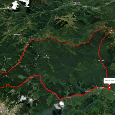 HardMulti-dayUnmarkedBohdan village loopvia Mount Pip Ivan Marmaroskyi, Mount Mika-Mare +2Elevation profile525–1 983 m79.4 kmascent 3 621 munder 1 km from Mount Radul
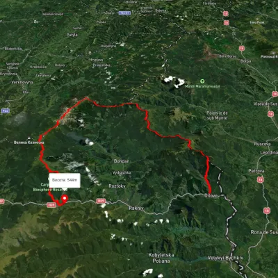 HardMulti-dayUnmarkedDilove village, Mount Pip Ivan Marmaroskyi, Mount Pip Ivan Chornohirskyi, Mount Hoverla and Mount Petros to Kvasy villageElevation profile359–2 014 m91.1 kmascent 5 532 munder 1 km from Mount Radul
 HardMulti-dayMarkedTranscarpathian Tourist TrailElevation profile198–2 031 m393.2 kmascent 30 283 munder 1 km from Mount Radul
Nearby attractions
 PeakMount Stihaltitude 1 653 m · Marmarosh range1 km from Mount Radul31 trails to the topMount Stih is the peak of the Ukrainian Carpathians of the incredibly beautiful Marmarosh mountain range, which lies on the border of the Chyvchyn Mountains and the...
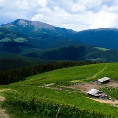 Mountain meadowPolonyna Radulaltitude 1 828 m · Marmarosh range1 km from Mount RadulThe Radul meadow is located within the Marmarosh Massif. It is located almost at the border with Romania.Shepherds keep sheep and cows in themeadow.
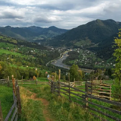 PeakMount Regeskaaltitude 1 569 m · Marmarosh range2 km from Mount Radul2 trails to the topRegeska is a 1569-meter (according to other sources, 1584-meter) peak in the Ukrainian Carpathians, which is located in the Marmarosh mountain range - the Chyvchyn...