Mount Zelemenyi
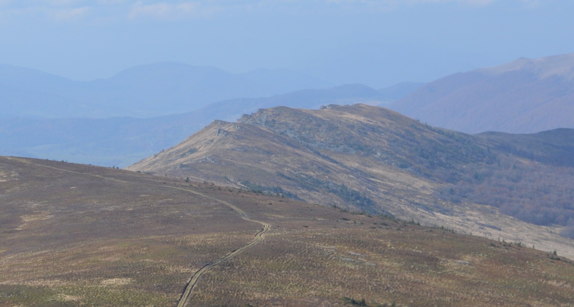
Zelemenyi is a 1,304 m summit on the Vododilnyi (Verkhovyna Watershed) Ridge of the Ukrainian Carpathians. It stands on the border of Lviv and Zakarpattia oblasts, between Mount Nondah (1,303 m, 2.1 km away) and the highest summit of the ridge, Pikui (1,408 m, 2.6 km away). The nearest villages in our catalogue are Pashkivtsi and Shcherbovets in Zakarpattia and Verkhnie Husne on the Lviv side; the closest of all, about 3 km to the west, is Bukovets.
Zelemenyi rises only a few dozen metres above the surrounding ridge, but its bare top is part of the long mountain meadow that follows the crest to Pikui. The western slopes drop almost 750 m to the Zhdenivka, a tributary of the Latorytsia, while streams from the north-eastern slopes belong to the Stryi basin.
How to get there
The Transcarpathian Tourist Trail and many of our ridge routes to Pikui cross Zelemenyi. The shortest of them:
- Lybokhora – Mt Velykyi Verkh – Mt Pikui – Bilasovytsia, 21.1 km;
- Uzhok – Husnyi – Mt Drohobytskyi Kamin – Ruska Put pass – Mt Pikui – Bilasovytsia, 30.3 km;
- Sianky – Mt Starostyna – Mt Velykyi Verkh – Mt Pikui, 31.9 km.
Coming from Pikui, Zelemenyi is the next big summit along the crest to the north-west, 2.6 km away.
Water, shelter and safety
There is no water on the crest itself. Our map shows the nearest springs near Shcherbovets and Bilasovytsia, about 2–2.1 km from the summit and 200–300 m lower. The “Pid Pikuiem” hut stands about 3.4 km from Zelemenyi. The open ridge offers no protection from wind, thunderstorms or fog, so bring warm clothes, a rain jacket and a GPS track. In an emergency call 112 or 101 — contacts of the nearest units are on the mountain rescue page.
Interesting facts
- Until 1938 the state border between Poland and Czechoslovakia ran along the crest through Zelemenyi; today it is the boundary between two oblasts.
- In the 1930s the Main Carpathian Trail, waymarked white-red-white, followed this section, together with a blue Czechoslovak route.
- The summit view takes in the Polish Bieszczady with Tarnica, the Skole Beskids with Parashka, Borzhava with Stii and Polonyna Rivna.
- The north-eastern slopes belong to the Boikivshchyna National Nature Park.
Photos: wikimapia user rybakot (Александр), CC BY-SA 3.0 — Wikimedia Commons.
Location on the map
Comments
Places to stay nearby
 CottageHomestead "Lukacha" Zhdeniyevo4 km from Mount ZelemenyiSaunaFireplaceKitchenNearby: Ostra Gora 5.6 kmVojvodyn waterfall 7.9 km7 trails
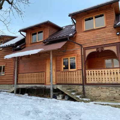 HomesteadVilla Uzh18 km from Mount ZelemenyiThe cottage "Villa Uzh" is located amidst picturesque mountains in the village of Uzhok, 5 km from the Volosyanka-Zakarpatska railway station.Nearby: Church of St. Michael 500 m3 trails
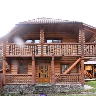 CottageCottage "Pustoshak" Bilasovitsya4.5 km from Mount ZelemenyiHot tubPoolSaunaNearby: 11 trails
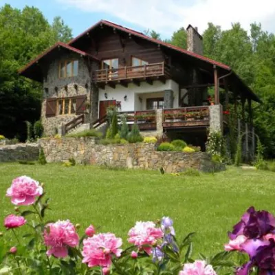 HomesteadChalet "Kukavica" Shcherbovets4.6 km from Mount ZelemenyiKitchenParkingNearby: Ostra Gora 7.6 kmVojvodyn waterfall 8.8 km7 trails
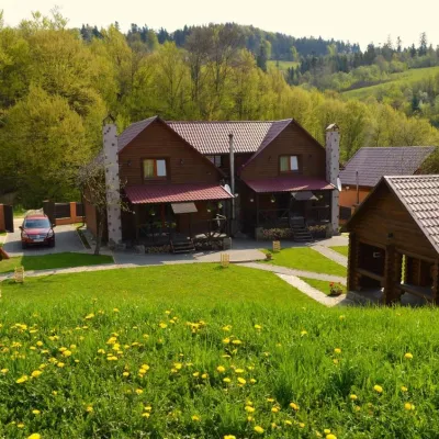 HomesteadPrivate Homestead "Shcherbovets"4.7 km from Mount ZelemenyiHot tubSaunaBBQNearby: Ostra Gora 7.5 kmVojvodyn waterfall 8.7 km7 trails
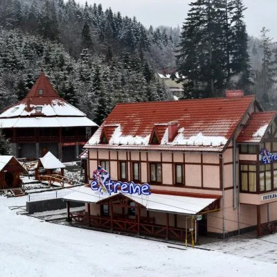 HotelHotel-Bar "Extreme" Mykulychyn7.2 km from Mount ZelemenyiPoolSaunaBBQNearby: Vojvodyn waterfall 8.1 kmOstra Gora 8.8 km6 trails
Trails nearby
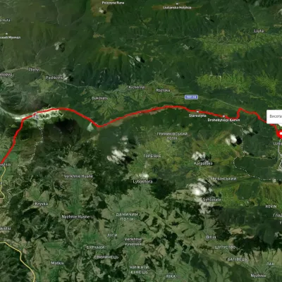 HardMulti-dayUnmarkedUzhok village to Bilasovytsia villagevia Husnyi village, Mount Drohobytskyi Kamin +2Elevation profile543–1 334 m30.3 kmascent 1 335 m≈ 10 h walkingunder 1 km from Mount Zelemenyi
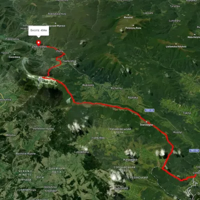 HardMulti-dayUnmarkedUzhok village to Zhdeniievo villagevia Mount Drohobytskyi Kamin, Starostyna village +3Elevation profile393–1 336 m36.4 kmascent 1 520 m≈ 12 h walkingunder 1 km from Mount Zelemenyi
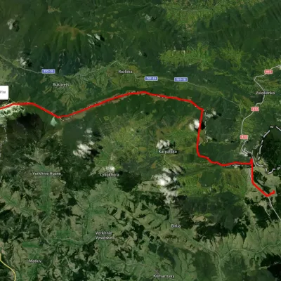 HardMulti-dayUnmarkedSianky village to Mount Pikuivia Mount Starostyna, Mount Velykyi VerkhElevation profile845–1 404 m31.9 kmascent 945 m≈ 10 h walkingunder 1 km from Mount Zelemenyi
Nearby attractions
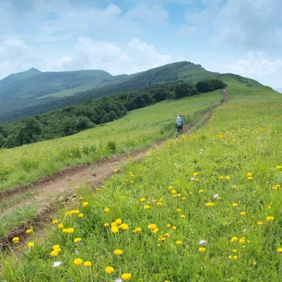 PeakMount Nondahaltitude 1 303 m · Watershed Ridge range2.3 km from Mount ZelemenyiNondah is a 1,303 m summit on the Vododilnyi (Verkhovyna Watershed) Ridge, on the border of Lviv and Zakarpattia oblasts.
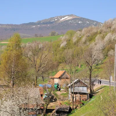 PeakMount Pikuialtitude 1 408 m · Watershed Ridge range2.5 km from Mount ZelemenyiPikui is the highest peak of the Vododilnyi (Verkhovyna Watershed) Ridge of the Ukrainian Carpathians.
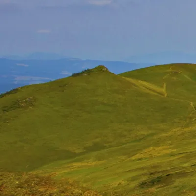 PeakMount Hostryi Verkhaltitude 1 294 m · Watershed Ridge range3.8 km from Mount ZelemenyiHostryi Verkh (also Ostryi Verkh) is a 1,294 m summit on the Vododilnyi (Verkhovyna Watershed) Ridge. It stands on the border of Lviv and Zakarpattia oblasts, between...