Mount Starostyna
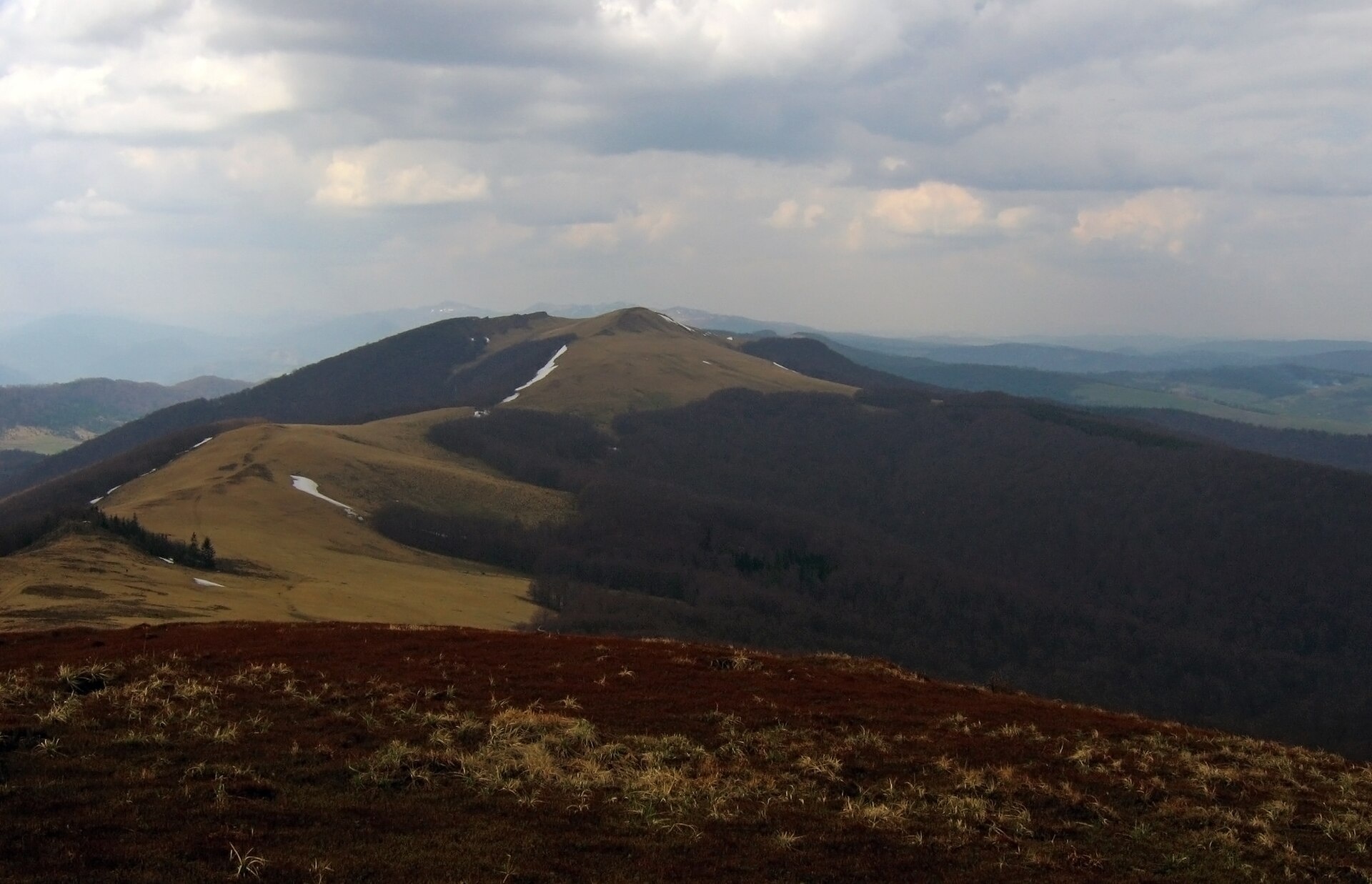
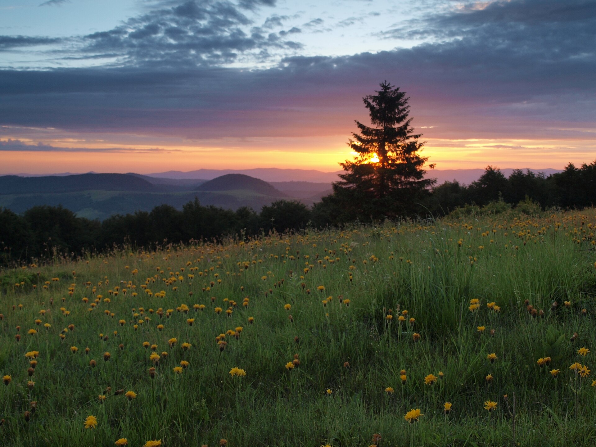
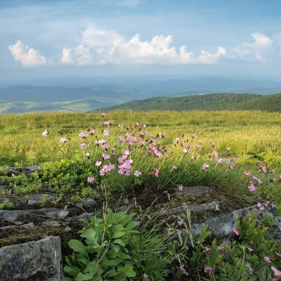
Starostyna is a 1,229 m mountain on the Vododilnyi (Verkhovyna Watershed) Ridge of the Eastern Beskids. It lies roughly in the middle of the crest running from the Uzhok Pass to Pikui, on the border of Lviv and Zakarpattia oblasts. The village of Lybokhora lies below its eastern slopes, with Karpatske nearby.
To the north, a saddle of about 1,090 m separates Starostyna from Drohobytskyi Kamin (1,186 m); to the south the ridge leads over the Khresty pass to Rozsypanets, and to the west a spur runs towards Hostra Hora and Polonyna Rivna. The summit is surrounded by mountain pasture stretching from Drohobytskyi Kamin all the way to Pikui; the eastern and western slopes are covered with beech and spruce forest.
How to get there
Twelve of our routes cross Starostyna or pass right next to it. The shortest is Uzhok – Mount Drohobytskyi Kamin – Mount Starostyna – Mount Velykyi Verkh (18.2 km). A longer option from the south is Bilasovytsia – Mount Pikui – Mount Velykyi Verkh – Mount Starostyna (22.1 km). To walk the whole ridge to Pikui, take Sianky – Mount Starostyna – Mount Velykyi Verkh – Mount Pikui – Bilasovytsia (36.5 km). The Transcarpathian Tourist Trail also crosses the summit.
Water, shelter and safety
Our map shows several springs 420–510 m from the summit, at about 1,100–1,120 m (condition unknown); two more springs about a kilometre away, towards Karpatske, are marked as dry. Near Lybokhora, about 2.9 km away, there is a picnic shelter. The open ridge is exposed to wind and thunderstorms, and in fog it is easy to lose the path on the broad pasture. The eastern slopes belong to the Lybokhora nature reserve — follow the rules of the protected area. In an emergency call 112 or 101 — contacts of the nearest units are on our mountain rescue page.
Interesting facts
- Until 1772 the border between Poland and Hungary ran here, and between the world wars this was Poland’s southern border.
- In 1914–1915 the eastern slopes of Starostyna saw fighting between Austrian and Russian troops.
- The Lybokhora reserve, covering 2,075 ha, was established on the eastern slopes in 1984.
Photos: Rbrechko, CC BY-SA 4.0; Голяка Микола, CC BY-SA 4.0 — Wikimedia Commons.
Location on the map
Comments
Places to stay nearby
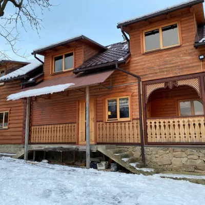 HomesteadVilla Uzh7.2 km from Mount StarostynaThe cottage "Villa Uzh" is located amidst picturesque mountains in the village of Uzhok, 5 km from the Volosyanka-Zakarpatska railway station.Nearby: Church of St. Michael 500 m3 trails
 CottageHomestead "Lukacha" Zhdeniyevo13 km from Mount StarostynaSaunaFireplaceKitchenNearby: Ostra Gora 5.6 kmVojvodyn waterfall 7.9 km7 trails
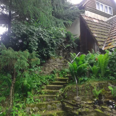 HomesteadHomestead "U Dyadi Vani" Vyshka13 km from Mount StarostynaPoolSaunaBBQ
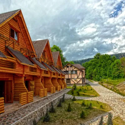 HotelHealth Complex "Uzhansky Kupeli" Uzhok7.4 km from Mount StarostynaHot tubPoolSaunaNearby: Church of St. Michael 1.2 km6 trails
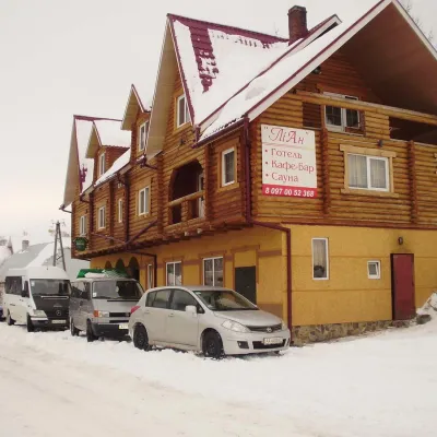 HotelHotel-Restaurant "LiAn" Mykulychyn8 km from Mount StarostynaSaunaTransferNearby: Church of St. Michael 1.5 km2 trails
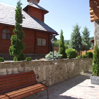 HotelTOP Resort&Spa Vyshka (2.7 km to the Krasia lift)14 km from Mount StarostynaPoolSaunaSPA
Trails nearby
 HardMulti-dayMarkedTranscarpathian Tourist TrailElevation profile198–2 031 m393.2 kmascent 30 283 munder 1 km from Mount Starostyna
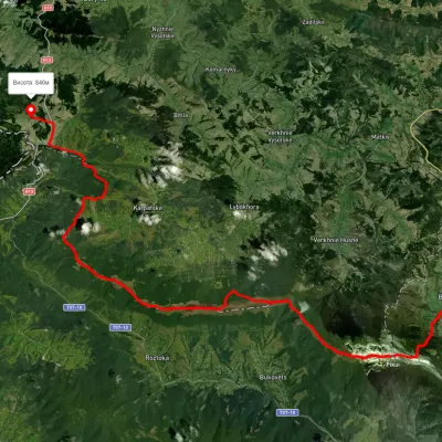 HardMulti-dayUnmarkedSianky village to Bilasovytsia villagevia Mount Drohobytskyi Kamin, the Ruska Put Pass +1Elevation profile556–1 384 m38 kmascent 1 666 m≈ 13 h walkingunder 1 km from Mount Starostyna
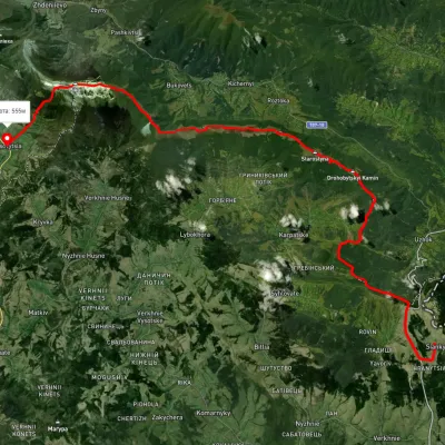 HardMulti-dayUnmarkedSianky village to Bilasovytsia villagevia the Verkhovyna Watershed ridge, Mount PikuiElevation profile558–1 388 m40.9 kmascent 1 396 m≈ 13 h walkingunder 1 km from Mount Starostyna
Nearby attractions
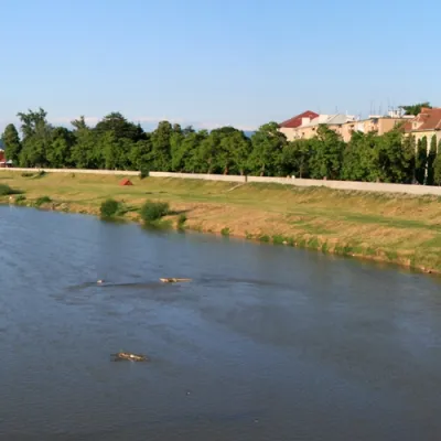 RiverLatorytsia1.6 km from Mount StarostynaLatorytsia River - Latorytsia and its surroundings are a popular destination for eco-tourism. The river's flow through mountains and forests creates picturesque...
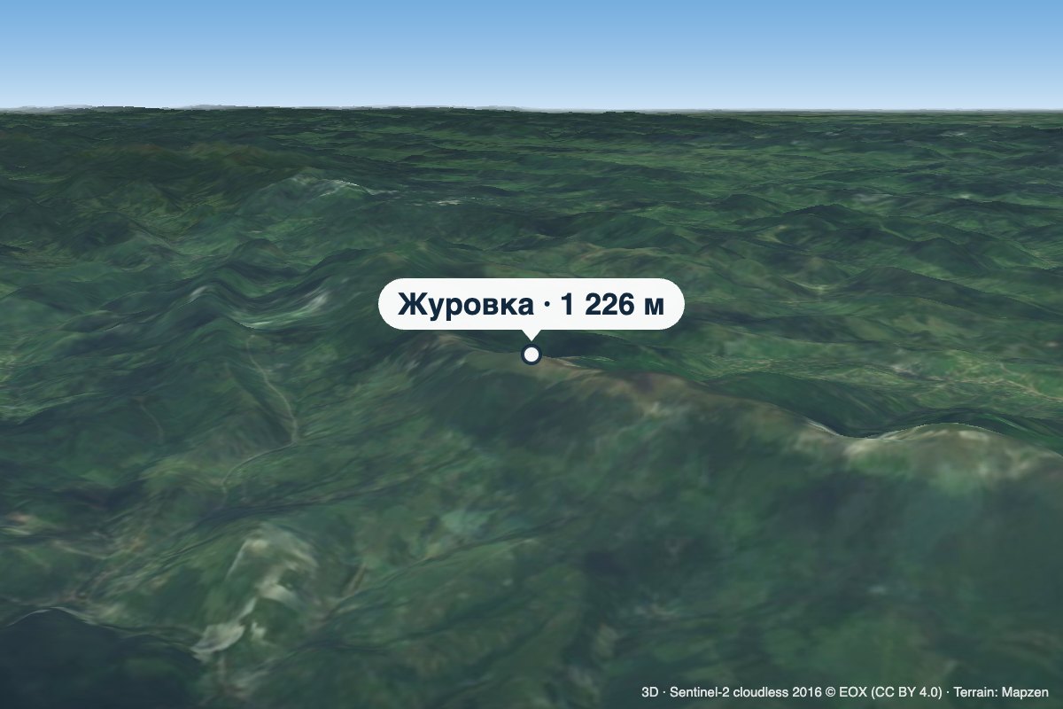 PeakMount Zhurovkaaltitude 1 226 m · Watershed Ridge range2.8 km from Mount StarostynaZhurovka (Zhurivka in encyclopedic sources) is a 1,226 m summit on the Vododilnyi (Verkhovyna Watershed) Ridge, on the border of Lviv and Zakarpattia oblasts.
 PeakMount Lystkovaniaaltitude 1 248 m · Watershed Ridge range4.6 km from Mount StarostynaLystkovania (also spelled Lystkovannia) is a 1,248 m summit on the Vododilnyi (Verkhovyna Watershed) Ridge, on the border of Lviv and Zakarpattia oblasts.