Mount Tsetsyno
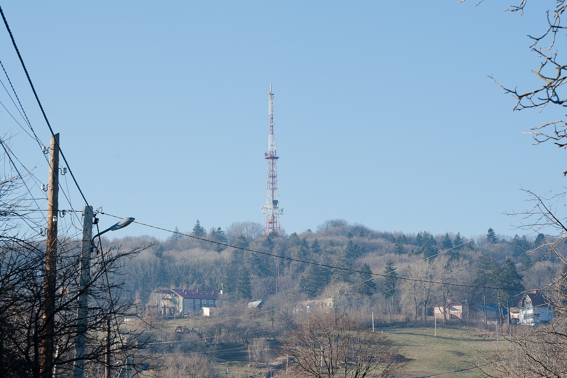
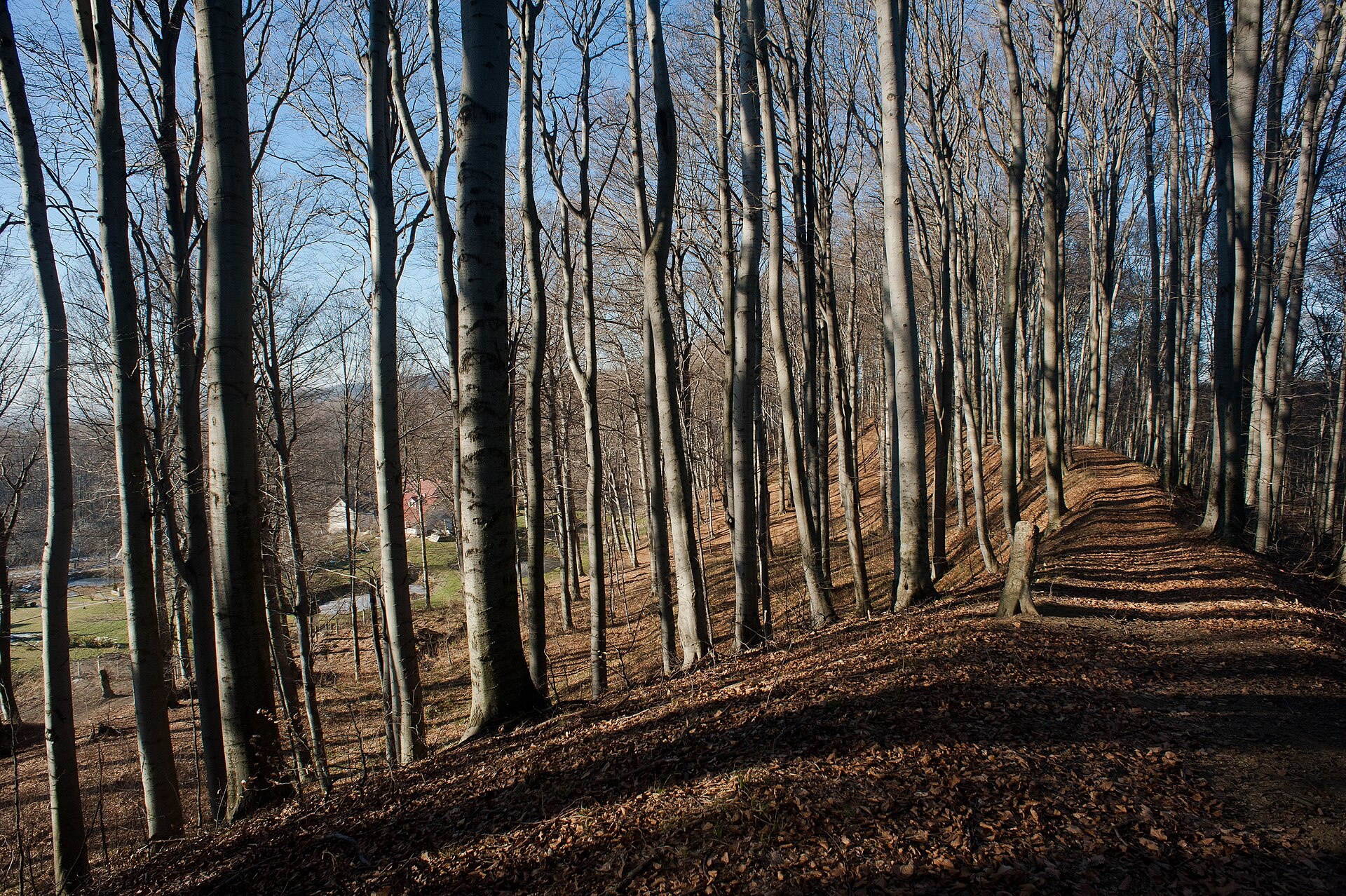
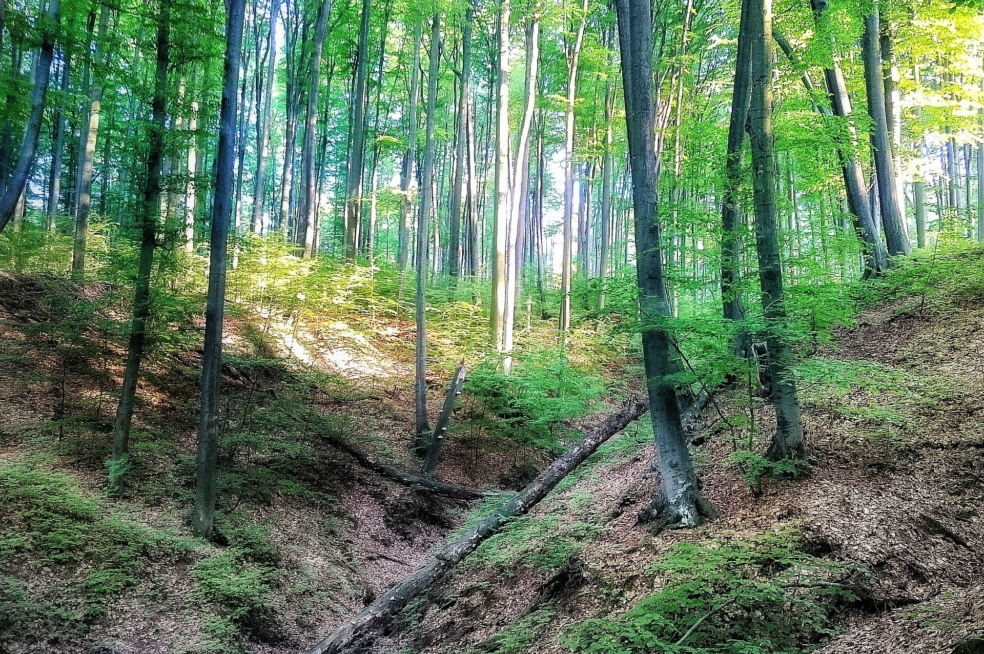
Tsetsyno is the highest hill of the Chernivtsi Upland, 537 m high (538 m according to other data). It rises on the western outskirts of Chernivtsi, near the Rosha neighbourhood, and gave its name to a locality on the edge of the city. Its slopes are gentle and the summit is dome-shaped. It is not a Carpathian peak in the strict sense, but for the people of Chernivtsi it is the nearest “mountain” and a favourite place for walks.
The slopes are covered by the Tsetsyno landscape reserve of national importance, 430 ha in area and created in 1974. Old-growth beech forests dominate, mixed with sessile and pedunculate oak, Norway maple, sycamore and hornbeam.
How to get there
Tsetsyno is part of the city's green belt, so you can walk here straight from Chernivtsi: forest roads of the reserve lead from the western outskirts to the summit. There is no separate waymarked route on our site yet. The walk to the top and back takes a few hours, which makes it a good Sunday outing with children.
Water, shelter and safety
Our map shows no springs here, so bring water. Chernivtsi is the natural place to stay. Despite the nearby city it is easy to get lost in the forest, especially at dusk, so carry a charged phone and an offline map. The reserve is protected by the state: light fires only where permitted and do not pick plants. In an emergency call 112 or 101; contacts of the mountain rescue units are on our mountain rescue page.
Interesting facts
- The hill is named after the Tsetsyno fortress built on its summit in the 14th century; in the 14th–15th centuries the hillfort played an important role in the Shypyntsi land of the time. Sources from the 19th and early 20th centuries record a feminine form of the name, Tsetsyna.
- The Chernivtsi TV tower was built on the summit in the 1960s.
- Red Data Book plants grow in the reserve, including wild garlic, deadly nightshade and the lady's slipper orchid.
Photos: LorikNov, CC BY-SA 3.0; Bukovynka, CC BY-SA 4.0; Korporacia, CC BY-SA 4.0 — Wikimedia Commons.
Comments
Travellers’ experience: reports, tips, questions.
No one has reported on this trail yet. Been here lately? Tell others what it is like now.
Location on the map
Wildlife nearby
All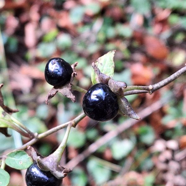
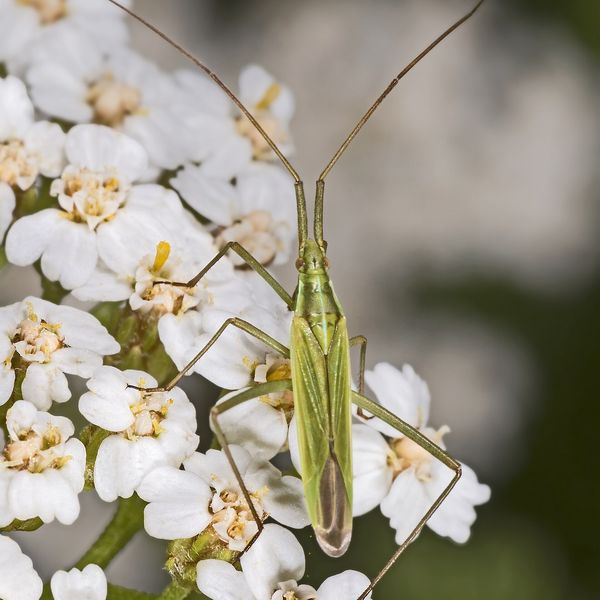
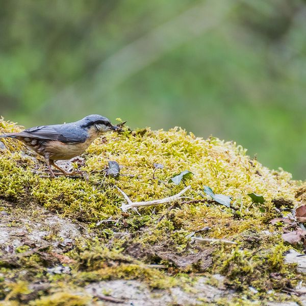
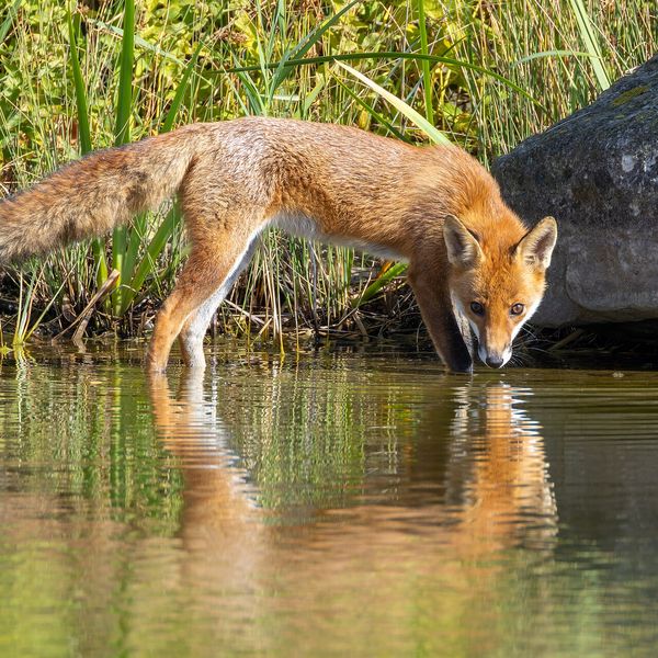
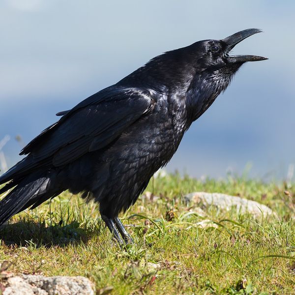
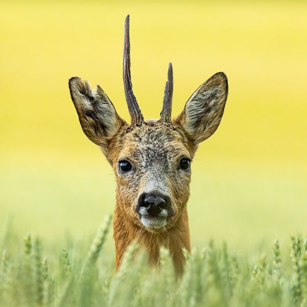
Based on naturalists’ records nearby (GBIF, iNaturalist), matched by altitude, habitat and season. Sightings are not guaranteed.
Places to stay nearby
All stays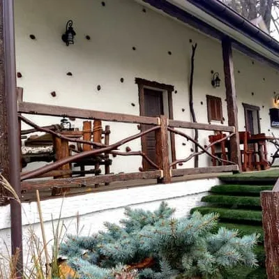 HotelPanorama Hotel & SPAChernivtsiunder 1 km from Mount TsetsynoHot tubPoolBBQNearby: Mt Tsetsyno 400 mArmenian Church 6.8 kmfrom 3 200 UAH per night
 −10%HotelPremium Apartments A&SChernivtsi6.5 km from Mount TsetsynoParkingWi‑FiPetsNearby: Soborna Square 400 mArmenian Church 700 mfrom 2 430 UAH per night
 HotelMicheleChernivtsi5.7 km from Mount TsetsynoBreakfastParkingWi‑FiNearby: Soborna Square 1.1 kmArmenian Church 1.5 kmfrom 2 700 UAH per night
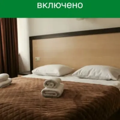 −15%HotelKoralChernivtsi10 km from Mount TsetsynoSaunaParkingWi‑FiNearby: Armenian Church 2.9 kmSoborna Square 3.2 kmfrom 1 187 UAH per night
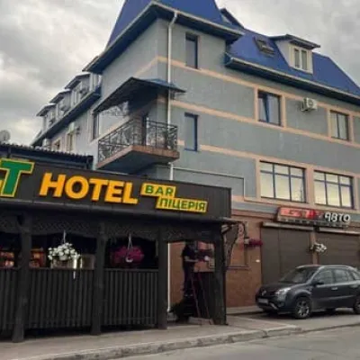 HotelGT. HOTELChernivtsi6.2 km from Mount TsetsynoParkingWi‑FiNearby: House-ship 1.4 kmArmenian Church 2.0 kmfrom 1 350 UAH per night
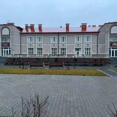 HotelSun LidiaChernivtsi6.3 km from Mount TsetsynoPoolSaunaParkingNearby: House-ship 4.3 kmArmenian Church 5.0 kmfrom 1 400 UAH per night
Nearby attractions
 Eco farmsBukovynskyi Ravlyk Snail Farm, Striletskyi KutMamaivtsi5.2 km from Mount TsetsynoBukovynskyi Ravlyk is a family snail farm in the village of Striletskyi Kut, just 10 km from central Chernivtsi.
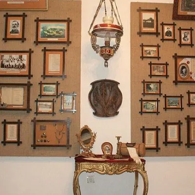 MuseumLiterary and Memorial Museum of Yuriy Fedkovych, ChernivtsiChernivtsi6.8 km from Mount TsetsynoYuriy Fedkovych – the most prominent writer of Bukovina, an educator of the region and an active public figure, whose name is borne by the famous Chernivtsi University.
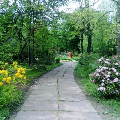 Nature"Arboretum and Botanical Garden of Chernivtsi National University" ChernivtsiChernivtsi7.2 km from Mount TsetsynoThe Botanical Garden of Chernivtsi National University is a protected area of national importance in Ukraine.
Craft nearby
All craft places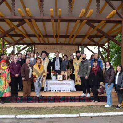 Crafts & workshopsFolk Craft Workshops at the Bukovynian Centre of Culture and Arts, ChernivtsiChernivtsi5.9 km from Mount TsetsynoThe Bukovynian Centre of Culture and Arts is the main hub of folk art in Chernivtsi Oblast. It stands on Dominik Hill in the Klokuchka district, at 1-A Yosyfa Hlavky...
 Crafts & workshopsBukovynskyi Local Makers' Shop, ChernivtsiChernivtsi7 km from Mount TsetsynoBukovynskyi is a new craft and gift shop in the very heart of Chernivtsi, at 13 Hoholia Street, a few steps from pedestrian Olha Kobylianska Street.
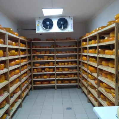 Cheese dairies & pasturesDobri Gazdy Cheese Dairy, MykhailivkaTarashany22 km from Mount TsetsynoDobri Gazdy cheese dairy in the village of Mykhailivka is one of the best-known food stops in Bukovyna and a fine example of how a community can breathe new life into...
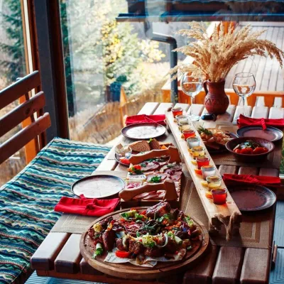 Koliby & Hutsul cuisineKoliba of the Karpaty complex, MyhoveMyhove41 km from Mount TsetsynoThe Kolyba in Myhove is the restaurant of the Karpaty cottage complex on the main street of Myhove, Bukovyna’s ski resort in the Vyzhnytsia district.
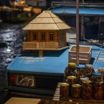 Markets & fairsNight Wood Market, KutyKuty47 km from Mount TsetsynoThe night bazaar in Kuty is the most colourful woodwork market in the Hutsul region, and it vanishes at dawn.
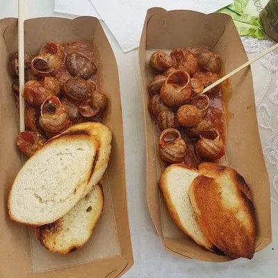 Eco farmsPrykarpatskyi Ravlyk Snail Farm, BahnaBahna48 km from Mount TsetsynoPrykarpatskyi Ravlyk snail farm is one of the few food farms in the Vyzhnytsia area that welcomes visitors not just to buy produce but for a proper farm visit.
