Mount Gemba


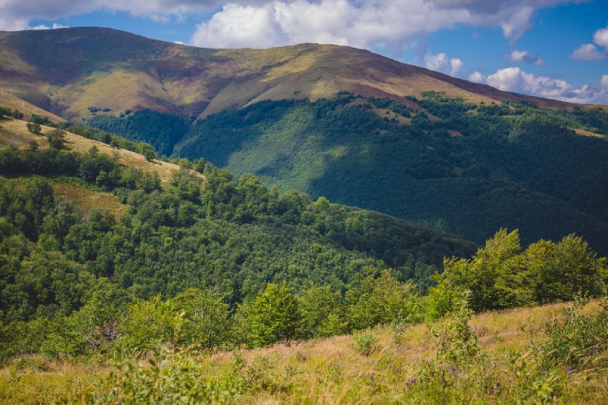
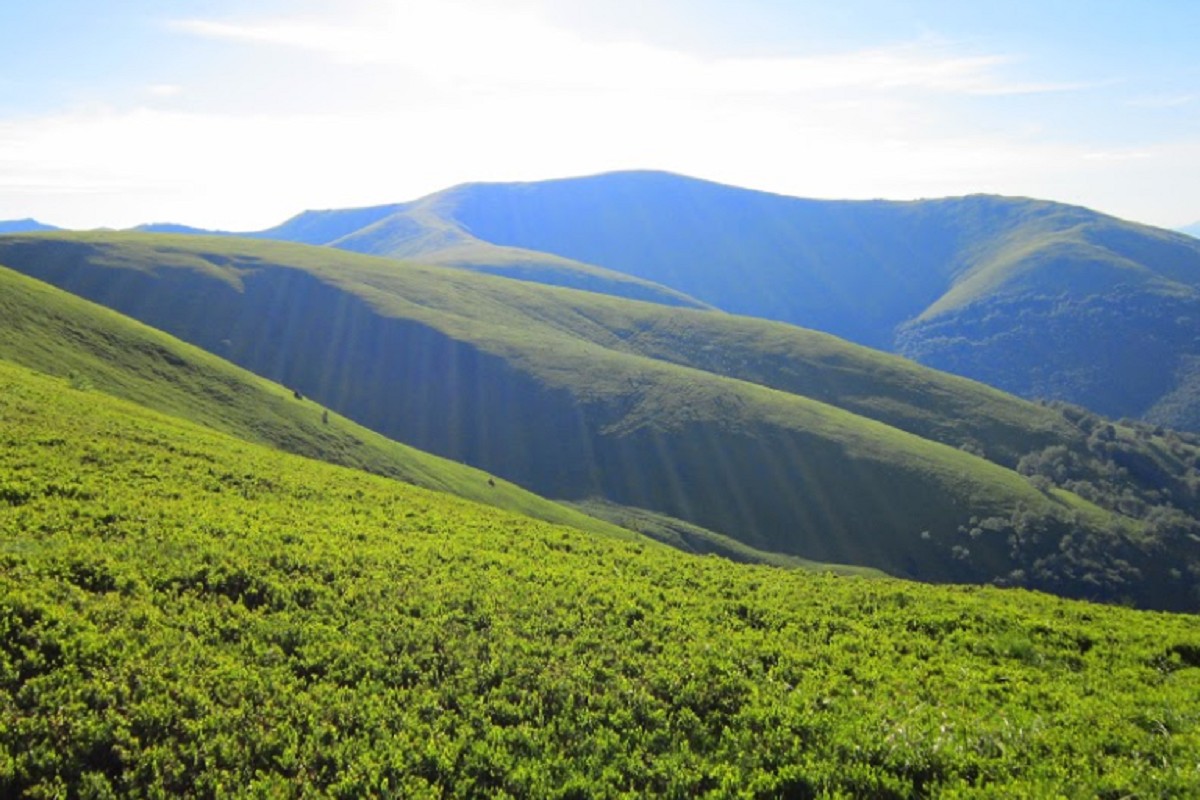
Gemba, or Hymba (1491 m), is one of the highest peaks of the Borzhava range, above the village of Pylypets in Zakarpattia. The shortest ascent is from Pylypets: 6.4 km and 808 m of climbing, about 3 hours of walking. A ski resort works on the northern slopes, and the Shypit waterfall is below the mountain.
Where it is
Gemba stands in the central part of the Borzhava ridge, on the border of the former Mizhhiria and Svaliava districts of Zakarpattia. The villages of Pylypets and Podobovets lie to the north-east, and Veliky Verkh is 3.3 km to the north-west.
Nature
The summit is treeless and dome-shaped. Up to 1200–1300 m the slopes are covered with old forest, higher up begin meadows with bilberry. On the northern slope is one of the best-known waterfalls of Zakarpattia, Shypit.
Where to start
From Pylypets a direct path leads to the top: Pylypets – Hymba; longer loops go over Veliky Verkh and past the Shypit waterfall. The "Borzhava Peaks" ridge route from Mizhhiria to Volovets (or the other way round) also crosses Gemba.
The summit at a glance
- Elevation: 1491 m above sea level
- Also known as: Hymba
- Range: Borzhava
- Nearest settlement: Pylypets
- Routes over the summit on Karpaty.rocks: 38
- Best time: May–October; deep snow is possible in winter
Routes to the summit
The routes over the summit most viewed by Karpaty.rocks readers. Length and ascent come from our track and a digital elevation model, time from Naismith's rule (without stops).
- Pylypets – Mount Hymba — 6.4 km, ascent 808 m, ≈3 h of walking
- Pylypets village, via Mount Hemba and Mount Velykyi Verkh to Pylypets village — 10.6 km, ascent 583 m, ≈3.5 h of walking, loop
- Pylypets village, via Mount Hemba, Mount Velykyi Verkh and Shypit Waterfall to Pylypets village — 15.2 km, ascent 1,104 m, ≈5.5 h of walking, loop
- Pylypets village, via Shypit Waterfall and Mount Hemba to Pylypets village — 17.7 km, ascent 875 m, ≈6 h of walking, loop
- Pylypets village, via Shypit Waterfall, Mount Hemba and Mount Velykyi Verkh to Volovets — 28.8 km, ascent 1,388 m, ≈9.5 h of walking
- Volovets, via Mount Plai, Mount Velykyi Verkh and Mount Hemba to Podobovets village — 25 km, ascent 1,499 m, ≈8.5 h of walking
All routes over the summit (38)
Weather and safety
The summit is above the tree line: fog, strong wind and thunderstorms are possible even in summer, and the weather can change within hours. Check the forecast before you set off, take water, a rain jacket and a warm layer, and plan to reach the top before midday.
In an emergency call 101 or 112. Carpathian mountain rescue contacts.
FAQ — Gemba
Gemba: how high is the summit?
It rises to 1491 m above sea level and belongs to the Borzhava range.
Gemba: how long does it take to reach the summit?
The shortest of the popular routes is “Pylypets – Mount Hymba”: 6.4 km with 808 m of ascent, about 3 h of walking without stops. Allow extra time for rests, photos and the weather.
Gemba: when is the best time to go?
May to October. In winter there may be deep snow on the way up, so experience and winter gear are needed.
Gemba: where to stay nearby?
The nearest settlement in our data is Pylypets. Places to stay nearby: hotels, guesthouses and cottages.
Video
 Гора Гемба - Найзручніша кемпінгова зона Карпат | Україна вражаєТуризм и путешествия
Location on the map
Water and shelter nearby
- Spring below Mount Hemba1.2 km · Not verified · 1 314 m
- Spring below Mount Zhyd–Mahura1.2 km · Not verified · 1 292 m
- Spring below Mount Hemba (7)1.3 km · Not verified · 1 157 m
- Spring below Mount Hemba (6)1.4 km · Not verified · 1 089 m
- Spring below Mount Hemba (8)1.7 km · Not verified · 1 026 m
- Hut “Midianytsia”1.8 km · Not verified · 1 008 m
- Hut below Mount Hemba1.9 km · Not verified · 992 m
- Spring below Mount Velykyi Verkh (9)1.9 km · Not verified · 1 187 m
- Spring below Mount Hemba (3)1.9 km · Not verified · 989 m
- Spring below Mount Zhyd–Mahura (2)2.1 km · Not verified · 1 410 m
- Spring below Mount Velykyi Verkh (7)2.3 km · Not verified · 1 172 m
- Spring below Mount Zhyd–Mahura (4)2.4 km · Not verified · 1 415 m
- Spring below Mount Hemba (5)2.4 km · Not verified · 822 m
- Spring below Mount Zhyd–Mahura (3)2.5 km · Not verified · 1 294 m
- Spring below Mount Zhyd–Mahura (5)2.6 km · Not verified · 1 384 m
- Spring below Mount Velykyi Verkh (5)2.6 km · Not verified · 1 300 m
Comments
Places to stay nearby
All stays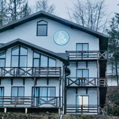 HotelDacha na MahuriPylypets2.6 km from Mount GembaBBQParkingWi‑FiNearby: Shypit Waterfall 1.6 kmMt Gemba 2.6 km17 trailsfrom 1 500 UAH per night
 CottageGray housePylypets3 km from Mount GembaBBQParkingWi‑FiNearby: Shypit Waterfall 800 mMt Gemba 3.0 km17 trailsfrom 4 950 UAH per night
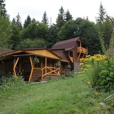 HotelZarynokPylypets3 km from Mount GembaBBQParkingWi‑FiNearby: Shypit Waterfall 600 mMt Gemba 3.0 km17 trailsfrom 2 200 UAH per night
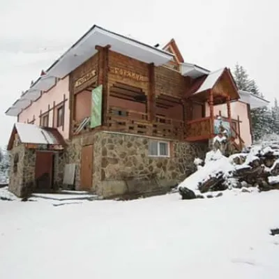 HotelHoryanynPylypets3.1 km from Mount GembaHot tubSaunaBBQNearby: Shypit Waterfall 900 mMt Gemba 3.1 km17 trailsfrom 1 060 UAH per night
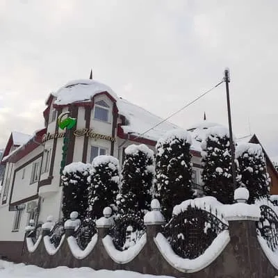 HotelShepit KarpatPylypets3.2 km from Mount GembaSaunaBBQParkingNearby: Shypit Waterfall 1.1 kmMt Gemba 3.2 km17 trailsfrom 2 530 UAH per night
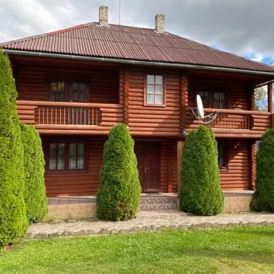 HotelShypitPylypets3.2 km from Mount GembaSaunaBBQParkingNearby: Shypit Waterfall 800 mMt Gemba 3.2 km17 trailsfrom 1 870 UAH per night
Trails via Mount Gemba
All 38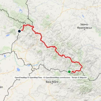 HardMulti-dayMarkedTranscarpathian Tourist TrailElevation profile202–2 061 m393.2 kmascent 17 790 m
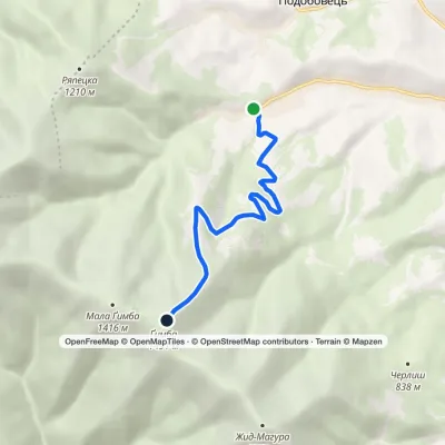 ModerateOne-dayMarkedPylypets Mount HymbaElevation profile683–1 491 m6.4 kmascent 808 m≈ 3 h walking
 ModerateOne-dayMarkedPylypets village loopvia Mount Hemba, Mount Velykyi VerkhElevation profile706–1 598 m10.6 kmascent 583 m≈ 4 h walking
Nearby attractions
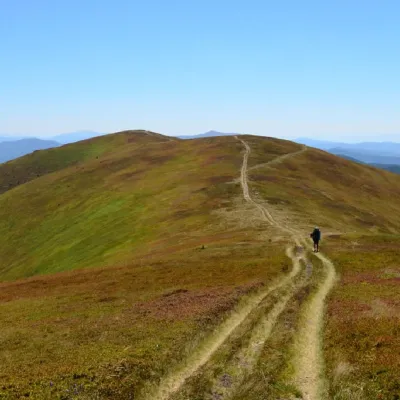 PeakMount Zhid-MaguraPylypetsaltitude 1 517 m · Borzhava range2.1 km from Mount Gemba24 trails to the topZhyd-Magura (also called Magura-Zhyd) is a 1517-meter peak of the Ukrainian Carpathians, which is located within the popular tourist destination, the Polonyna Borzhava...
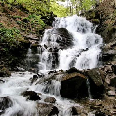 Waterfall"Shypit Waterfall" PylypetsPylypets2.6 km from Mount GembaIn a cozy corner of the Carpathian Mountains, among the evergreen mountain forests and steep, sharp cliffs, lies the most full-flowing and beautiful waterfall in...
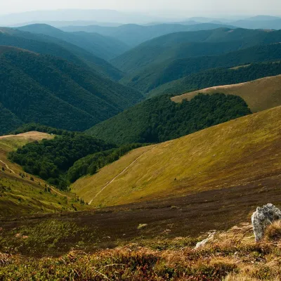 Mountain meadowPolonyna BorzhavaPylypetsaltitude 1 400 m3.2 km from Mount GembaPolonyna Borzhava is the longest polonyna massif in Zakarpattia and one of the best known in the Polonynskyi Ridge of the Ukrainian Carpathians.
Craft nearby
All craft places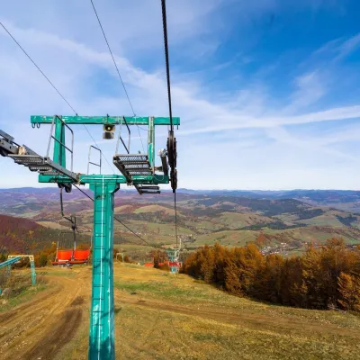 Adventures & attractionsPylypets Sky & Bike Park: chairlift and bike park, PylypetsPylypets3 km from Mount GembaPylypets Sky & Bike Park is a chairlift and bike park in the Zakarpattia village of Pylypets, one of the region’s best-loved ski resorts.
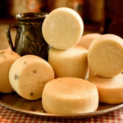 Cheese dairies & pasturesIZKI Highland Cheese Dairy, IzkyIzky5.2 km from Mount GembaThe IZKI cheese dairy is the culinary highlight of the eco-resort of the same name in the village of Izky, Zakarpattia.
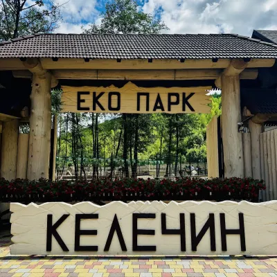 Wildlife parks & animal farmsKelechyn Eco Park, KelechynKelechyn10 km from Mount GembaKelechyn Eco Park is a small petting park in the village of Kelechyn in Zakarpattia, on the road from Mizhhiria towards Volovets.
 Craft producersAleks mineral waters, SvaliavaSvalyava21 km from Mount GembaAleks is a Svaliava mineral-water producer founded in 1995. It was one of the first companies in Ukraine to bottle natural mineral waters in PET bottles, and today it...
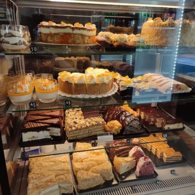 Craft producersMirella confectionery, SvaliavaSvalyava23 km from Mount GembaMirella is a café-patisserie in Svaliava founded by pastry chef Myroslava Holonych. It bakes signature cakes and pastries, traditional Transcarpathian baking, crackers...
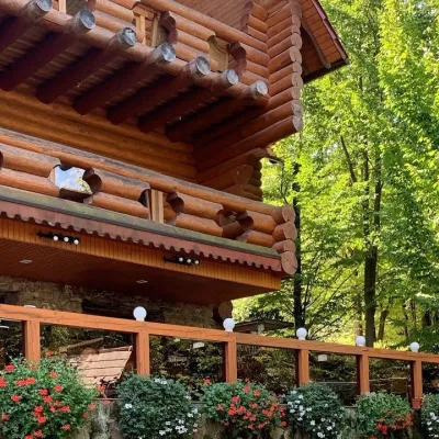 Koliby & Hutsul cuisineKolyba “Nad Potokom”, PolianaPolyana25 km from Mount GembaKoliba nad Potokom (“Kolyba above the Stream”) is a wooden kolyba restaurant in the spa village of Poliana near Svaliava in Zakarpattia, on Dyskovetska Street, which...
