Mount Manchul

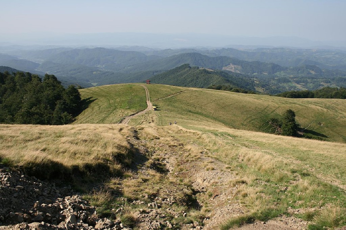
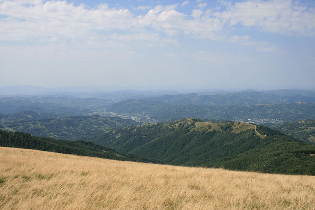
Mount Manchul (also known as Mount Menchul, Polonyna Manchul) is a 1501-meter peak in the Ukrainian Carpathians. It is located on the border of Khust and Tyachiv districts of Zakarpattia region and southwest of the Polonyna Krasna massif, which is part of the Polonyna Beskydy.
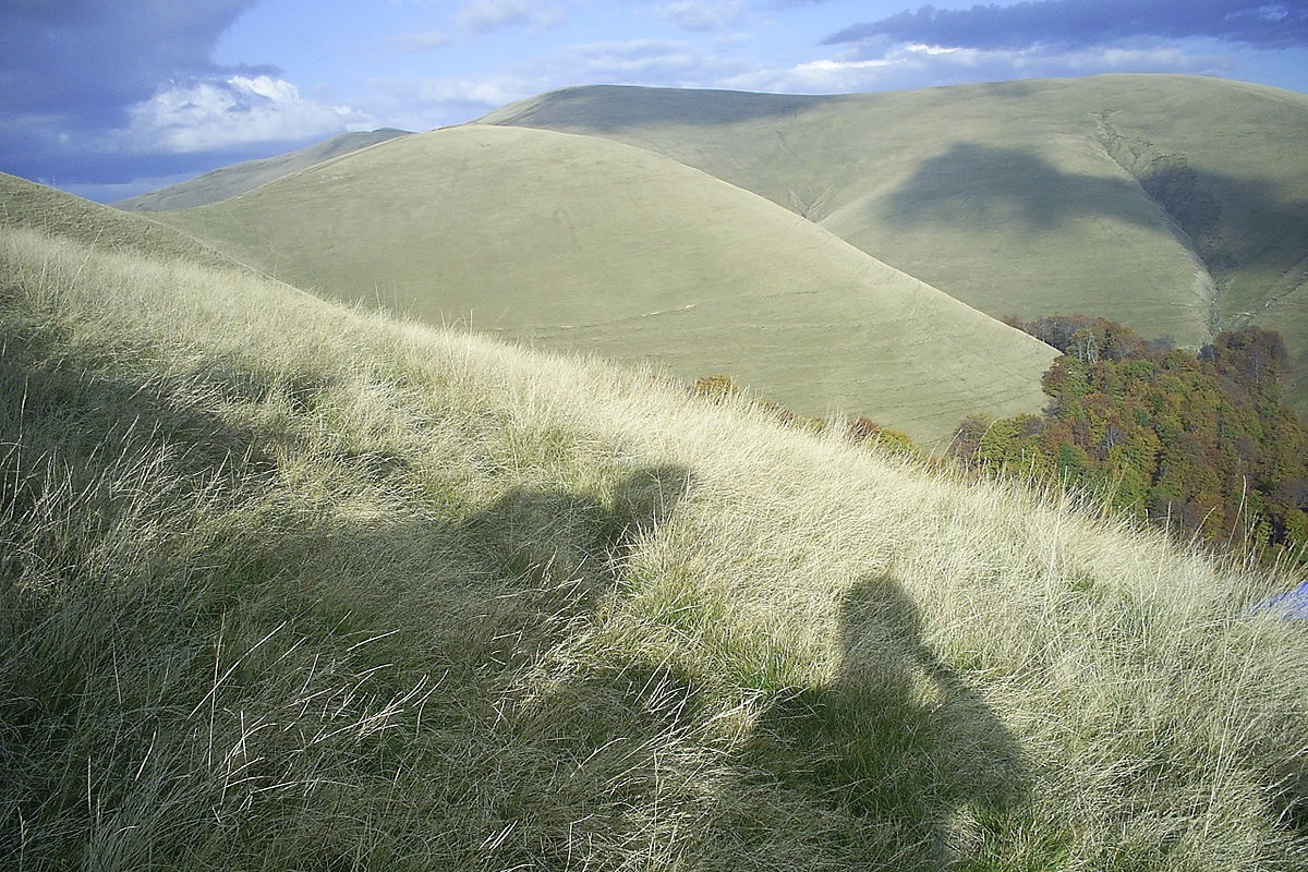
Manchul has the shape of a ridge (meadow) about 5 km long, with several spurs and minor peaks. The slopes up to an altitude of 1100-120 meters are covered mainly with beech forests, above this mark - with meadows with thickets of blueberries.
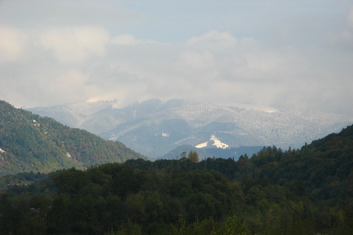
The northern, western, and southern slopes of the mountain are located within the Ugolsko-Shyrokoluzhanskyi protected area. The peak offers magnificent views of the surrounding mountains: to the east is the Svydovets massif, to the southeast is Mount Apetska, to the northwest is the Polonyna Borzhava massif, and to the south is the Verkhnotysynska Hollow.
The nearest settlement is the village of Vilshany.
Comments
Travellers’ experience: reports, tips, questions.
No one has reported on this trail yet. Been here lately? Tell others what it is like now.
Location on the map
Water and shelter nearby
- Spring (Vilshany, 7)2.9 km · Not verified · 1 187 m
Wildlife nearby
AllPlaces to stay nearby
All stays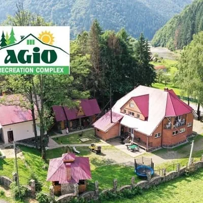 HotelAzhioMizhhiria13 km from Mount ManchulSaunaBBQParkingNearby: Holy Spirit Church 1.3 kmMt Negrovets 7.8 km12 trailsfrom 1 000 UAH per night
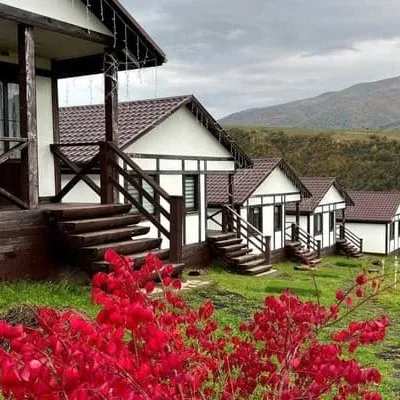 HotelKolochava Eco ResortMizhhiria13 km from Mount ManchulHot tubPoolSaunaNearby: Holy Spirit Church 900 mMt Strymba 6.0 km13 trailsfrom 3 500 UAH per night
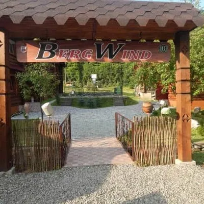 HotelBergWindTyachiv17 km from Mount ManchulSaunaParkingWi‑FiNearby: Mt Klymova 4.0 kmPolonyna Krasna 8.1 km2 trailsfrom 1 000 UAH per night
Trails via Mount Manchul
All 1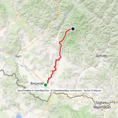
Nearby attractions
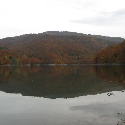 LakeVilshany ReservoirKrasna Polonyna8 km from Mount Manchul481 m above sea levelarea 72–90 haup to 8 m deepThe Vilshany Reservoir, also called the Tereblia-Rika Reservoir, is a narrow mountain lake in the Tereblia valley between Vilshany and Mereshor, below Kolochava.
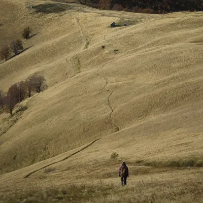 PeakMount TopasKolochavaaltitude 1 548 m · Svydovets range8.5 km from Mount ManchulTopas is a mountain in the Ukrainian Carpathians, in the Polonyna Krasna massif, Tiachiv district of Zakarpattia Oblast.
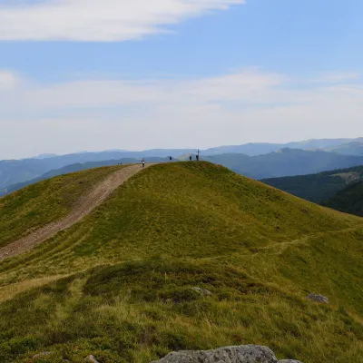 Mountain meadowPolonyna KrasnaKolochavaaltitude 1 450 m · Svydovets range9.9 km from Mount ManchulPolonyna Krasna is a massif of the Polonynskyi Ridge in Zakarpattia, in the Tiachiv and partly the Khust districts, between the valleys of the Tereblia and the Teresva.
Craft nearby
All craft places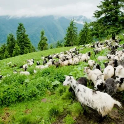 Cheese dairies & pasturesShepherding School on Mount Strymba, KolochavaKolochava13 km from Mount ManchulThe Kolochava Shepherding School is not a building with classrooms but a summer shepherds' camp (salash) on the slopes of Mount Strymba (1,719 m), one of the highest...
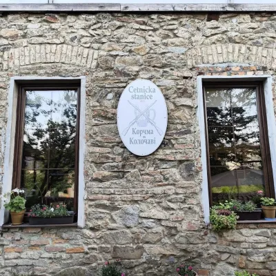 Koliby & Hutsul cuisineKorchma “Zhandarmska Uprava”, KolochavaKolochava13 km from Mount ManchulKorchma “Zhandarmska Uprava” (“The Gendarmerie Station”) is a family-run tavern in the centre of Kolochava, one of the best-known tourist villages in Transcarpathia.
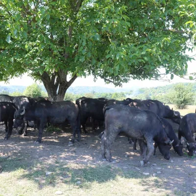 Eco farmsRaiskyi Kutochok Buffalo Eco-Farm, HorinchovoKhust district18 km from Mount Manchul"Raiskyi Kutochok" eco-farm ("Paradise Corner") in Horinchovo near Khust is one of the best-known buffalo farms in Zakarpattia.
 Craft producersSelyski Bakery (Selyski Tistechka), Nyzhnie SelyshcheNyzhnie Selyshche21 km from Mount ManchulSelyski Bakery («Selyski Tistechka», literally “Selyshche pastries”) is a family bakery and patisserie in the village of Nyzhnie Selyshche near Khust.
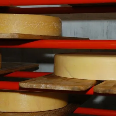 Cheese dairies & pasturesSelyska Cheese Dairy, Nyzhnie SelyshcheNyzhnie Selyshche22 km from Mount ManchulSelyska Cheese Dairy in the village of Nyzhnie Selyshche, near Khust, is one of the places where the modern story of craft cheese in Ukraine began.
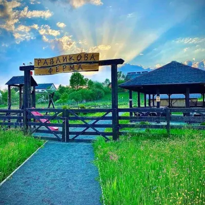 Eco farmsSnail Farm, Nyzhnie SelyshcheNyzhnie Selyshche22 km from Mount ManchulThe snail farm in Nyzhnie Selyshche is one of the first snail farms in Ukraine and the first in Zakarpattia.
