Mount Pozhyzhevska
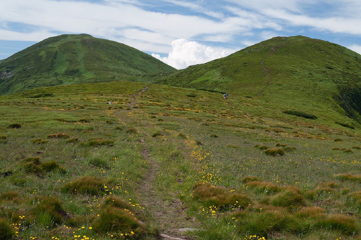
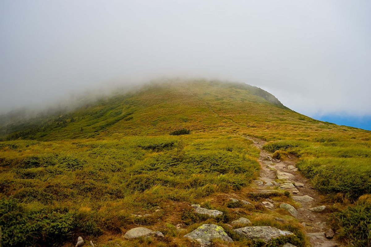
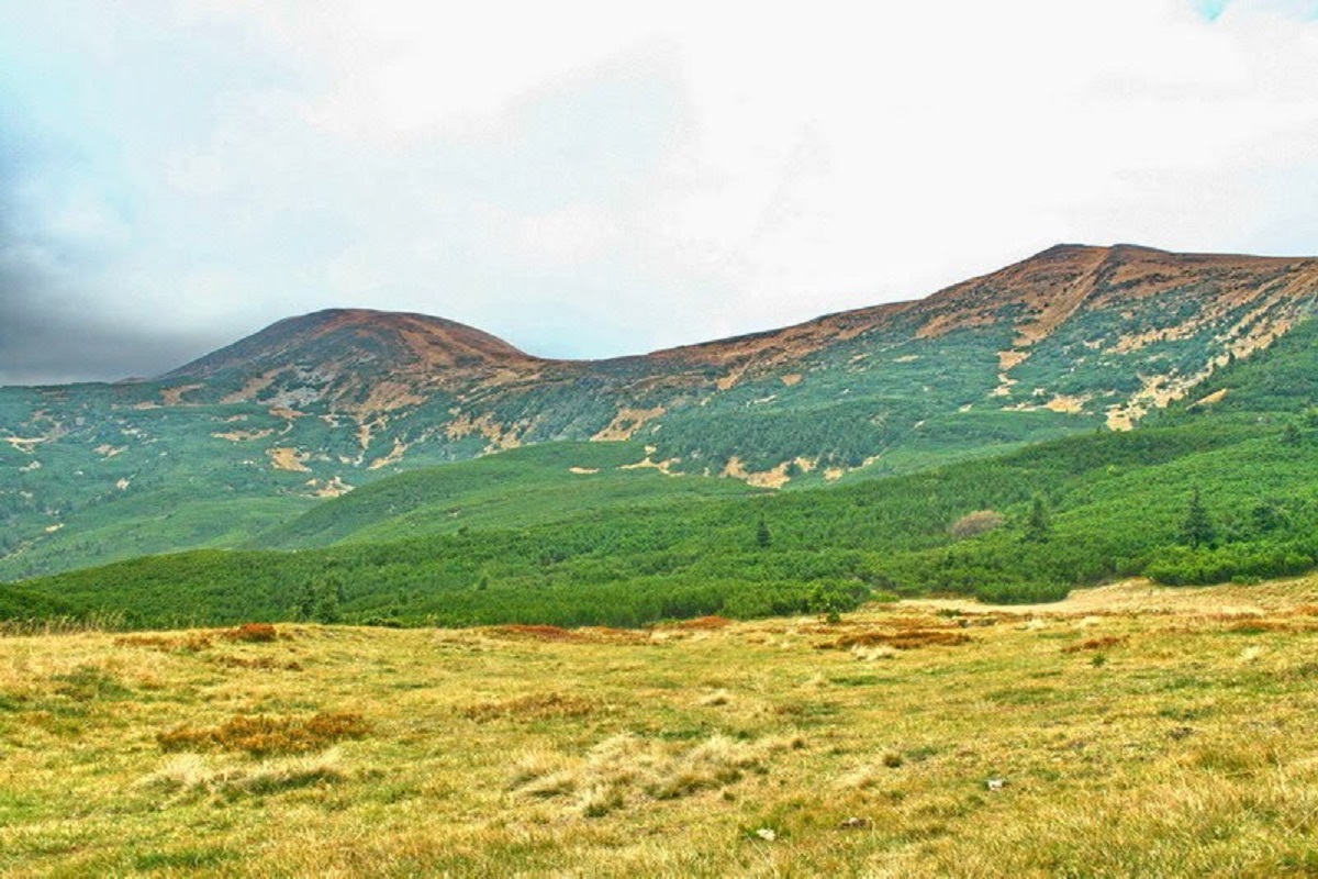
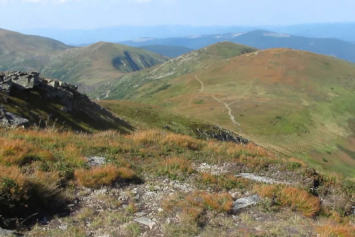
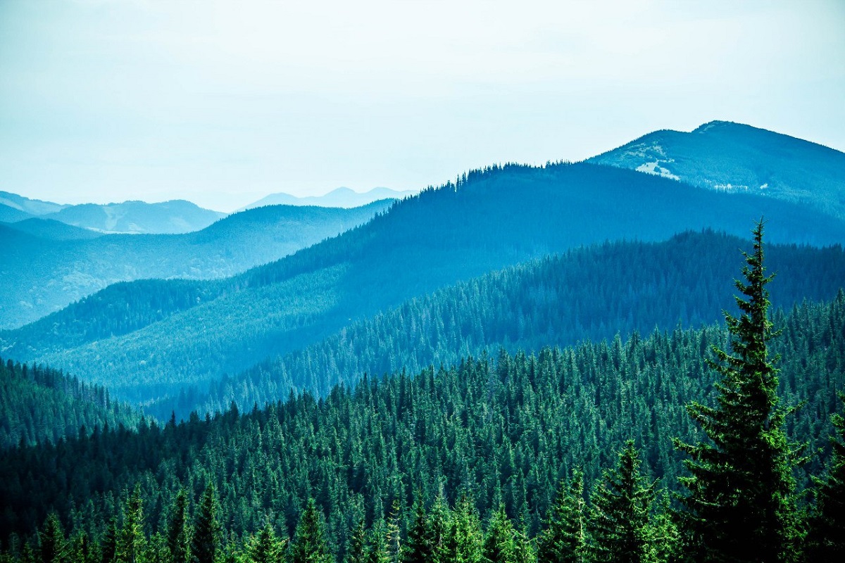
Mount Pozhyzhevska (or Pozhezhevska) is one of the peaks of the Ukrainian Carpathians. It is located in the northwestern part of the Chornohora mountain range on the border of Zakarpattia and Ivano-Frankivsk regions.
The height of the peak is 1822 meters.
To the northwest of Pozhyzhevska is Mount Breskul (1911 m), to the northeast, on the territory of the eponymous meadow, at an altitude of about 1550 m, is the Snow Avalanche Station and Biostationary of the Institute of Carpathian Ecology of the National Academy of Sciences of Ukraine, to the southeast is Mount Dantsizh (1850 m), to the south is Lake Verkhne, which, by the way, is one of the highest lakes in the Ukrainian Carpathians, and to the southwest is the Ozernyi tract.
The relief and vegetation of Pozhyzhevska is typical for the Chornohora range. The slopes of the peak are generally gentle, except for its western side, where there are very dangerous steep rocky cliffs.
The nearest settlement is the village of Bystrets, Verkhovyna district, Ivano-Frankivsk region.
Location on the map
Water and shelter nearby
- Spring below Mount Pozhyzhevska230 m · Not verified · 1 708 m
- Spring below Mount Dantsizh660 m · Not verified · 1 621 m
- Spring below Mount Breskul (5)1.6 km · Not verified · 1 679 m
- Spring below Mount Breskul (7)1.7 km · Not verified · 1 514 m
- Spring below Mount Dantsizh (2)1.8 km · Not verified · 1 662 m
- Spring below Mount Breskul (6)1.8 km · Not verified · 1 599 m
- Spring below Mount Breskul (4)2 km · Not verified · 1 778 m
- Spring below Mount Breskul (3)2 km · Not verified · 1 731 m
- Spring below Mount Velyka Kozmeska (10)2.4 km · Not verified · 1 272 m
- Spring below Mount Velyka Kozmeska (4)2.4 km · Not verified · 1 503 m
- Spring below Mount Velyka Kozmeska (9)2.6 km · Not verified · 1 293 m
- Spring below Mount Turkul (5)2.7 km · Not verified · 1 745 m
- Spring below Mount Turkul (4)2.7 km · Not verified · 1 739 m
- Drinking water below Mount Velyka Kozmeska (2)2.8 km · Not verified · 1 348 m
- Drinking water below Mount Velyka Kozmeska2.8 km · Not verified · 1 363 m
- Spring below Mount Velyka Kozmeska (5)3 km · Not verified · 1 430 m
Comments
Places to stay nearby
All stays HotelBiia HoverlyVorokhta8.6 km from Mount PozhyzhevskaBBQParkingWi‑FiNearby: Mt Kukul 3.5 kmPolonyna Kukul 4.0 km5 trailsfrom 1 320 UAH per night
 HotelBukov'yanVerkhovyna12 km from Mount PozhyzhevskaSaunaBBQParkingNearby: Mt Makovytsia 700 mKryvopillia Pass 800 m6 trailsfrom 2 070 UAH per night
 HotelPid Vukhatym KamenemDzembronia13 km from Mount PozhyzhevskaHot tubBBQParkingNearby: Polonyna Psarivka 2.3 kmMt Smotrych 4.5 km33 trailsfrom 1 210 UAH per night
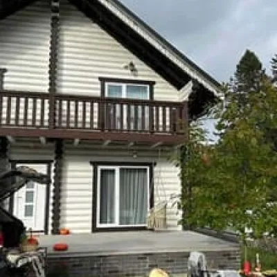 HotelChalet GaliciaVorokhta13 km from Mount PozhyzhevskaBBQParkingWi‑FiNearby: Mt Kukul 6.1 kmPolonyna Kukul 6.3 km6 trailsfrom 8 500 UAH per night
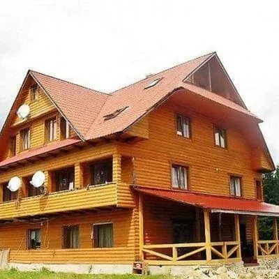 HotelPid HoverloiuVorokhta13 km from Mount PozhyzhevskaHot tubPoolBBQNearby: Polonyna Borsuchyna 4.4 kmMt Kukul 6.3 km3 trailsfrom 1 540 UAH per night
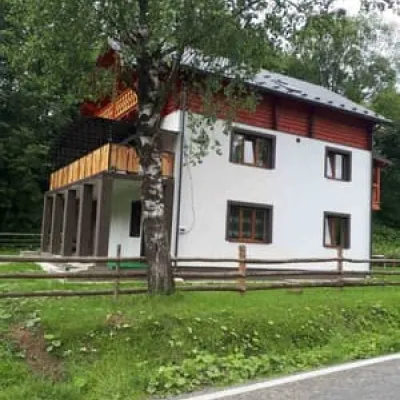 CottageSkita 2Verkhovyna14 km from Mount PozhyzhevskaBBQParkingWi‑FiNearby: Mt Makovytsia 2.3 kmPolonyna Dil 2.6 km8 trailsfrom 968 UAH per night
Trails via Mount Pozhyzhevska
All 83 ModerateOne-dayZaroslyak base to Mount Shpytsivia Lake NesamovyteElevation profile1 261–1 930 m9 kmascent 776 m≈ 4 h walking
 ModerateTwo-dayMarkedZaroslyak base loopvia Mount Hoverla, Lake NesamovyteElevation profile1 242–2 061 m16.9 kmascent 1 095 m≈ 6.5 h walking
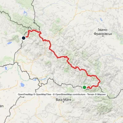 HardMulti-dayMarkedTranscarpathian Tourist TrailElevation profile202–2 061 m393.2 kmascent 17 790 m
Nearby attractions
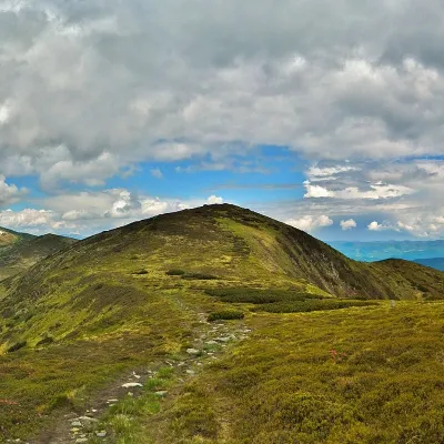 PeakMount DantsizhBystretsaltitude 1 850 m · Chornohora range1.2 km from Mount Pozhyzhevska89 trails to the topDantsizh (also known as Danzer) is a peak of the Ukrainian Carpathians, 1850 meters high. The mountain is located on the Chornohora mountain range (in its northwestern...
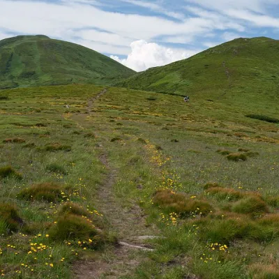 Mountain meadowPolonyna Pozhizhevska (Pozhizhevskaya)Nadvirna districtaltitude 1 500 m · Chornohora range1.4 km from Mount PozhyzhevskaPolonyna lies at an altitude of 1382-1822 meters. The Pozhyzhevska meadow lies at the foot of the mountain of the same name in the Montenegrin ridge.
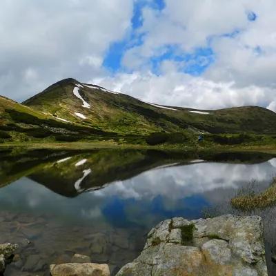 LakeHigh-mountainous Lake Nesamovite (1750 m.a.s.l., Chornohora ridge)Vorokhta2.7 km from Mount PozhyzhevskaNesamovyte is one of the highest lakes in the Ukrainian Carpathians (1750 m above sea level). It is located within the Nadvirna district of Ivano-Frankivsk region.
Craft nearby
All craft places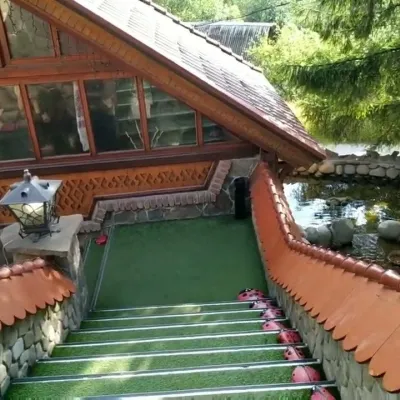 Koliby & Hutsul cuisineStara Vorokhta Restaurant, VorokhtaVorokhta16 km from Mount PozhyzhevskaStara Vorokhta restaurant ("Old Vorokhta") is one of the best-known places for Hutsul food in Vorokhta: on Google Maps it is rated 4.6 from more than 6,300 reviews, a...
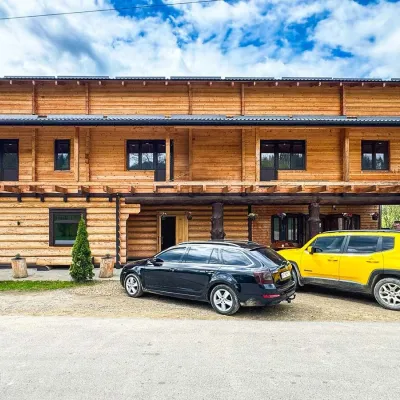 Koliby & Hutsul cuisineZRUB Ethno Restaurant, IltsiIltsi17 km from Mount PozhyzhevskaZRUB Ethno Restaurant is a new log-built home of Hutsul cooking in the village of Iltsi, on the edge of Verkhovyna, the town often called the Hutsul capital.
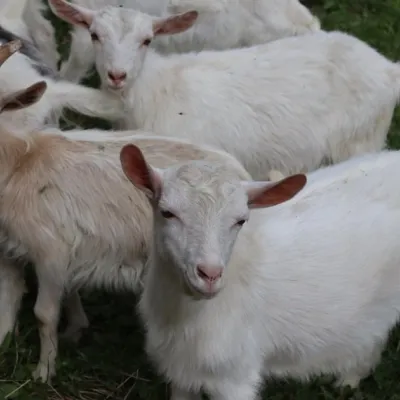 Eco farmsRozental Eco-Farm and Cheese Dairy, KvasyKvasy18 km from Mount PozhyzhevskaBeer and cider are brewed here, sheep's-milk ice cream is made, and in the Vaskul area above the village sits the Rozental eco-farm and cheese dairy.
 Markets & fairsSouvenir Bazaar by the Ski Jumps, VorokhtaVorokhta18 km from Mount PozhyzhevskaThe souvenir bazaar in Vorokhta is one of the busiest little trading spots in the mountain Hutsul region.
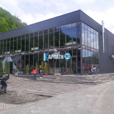 Craft beer & breweriesTsypa Brewery, KvasyKvasy18 km from Mount PozhyzhevskaThe Tsypa Hutsul craft brewery in Kvasy is probably the best-known brewery in the Ukrainian Carpathians.
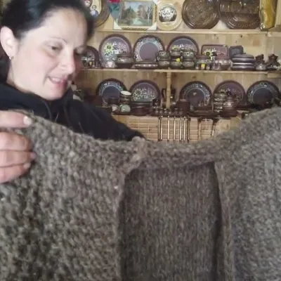 Markets & fairsSouvenir Market on the Yablunytsia Pass, YablunytsiaYablunytsia19 km from Mount PozhyzhevskaThe souvenir market on the Yablunytsia Pass is one of the best-known roadside bazaars in the Carpathians.
