Horná Jarabá – Čertovica, motel
Trail map
Route, springs and shelters: © OpenStreetMap contributors (ODbL) · elevation: Copernicus DEM © DLR e.V., © Airbus DS · Data & licences
About the trail
Route Horná Jarabá – Čertovica, motel. Has yellow marking (regional route №8427, KST). Waymarking data: OpenStreetMap (© OpenStreetMap contributors, ODbL).
Officially marked regional tourist route No. 8427. The marking is yellow, the sign is a horizontal stripe on a white background. Marked and maintained by: KST. Length of the route — 4.4 km. Location: mountain range — Low Tatras, Slovakia.
At a glance
A short route of 4.4 km with 362 m of ascent from Horná Jarabá to Čertovica, motel. Estimated walking time: about 1.5 h, not counting stops. Difficulty: easy. Waymarking: yellow.
Route stages
- 0–4.5 kmClimb of 350 m to Čertovica Pass
Steepest kilometre: km 0.5–1.5, a climb of 130 m (≈13%).
Water and overnight stays
A spring near the trail: at km 0.5.
When to go
Best time: May to October. In winter deep snow is possible, so experience and winter gear are needed.
Getting there
Start: Horná Jarabá. This is a one-way route: the finish is 3 km from the start in a straight line, so plan your way back in advance.
FAQ
- How long does the route take?
- Estimated walking time: about 1.5 h, not counting stops.
- Is there water on the route?
- A spring near the trail: at km 0.5.
Water and shelter on the route
- Bachláč na lúke Tapkm 0.5 from the start · 80 m off the path · Not verified · 901 m
Comments
Trails nearby
All trails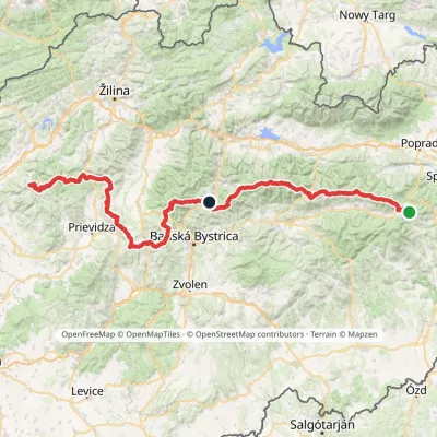 HardMulti-dayMarkedHorná Poruba, U Brdárov Pred ČuntavouElevation profile309–2 004 m241.6 kmascent 15 694 m
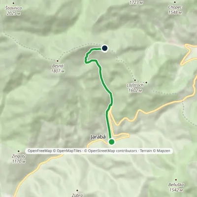 EasyOne-dayMarkedKumštové Saddle Horná JarabáElevation profile874–1 549 m4.9 kmascent 675 m≈ 2.5 h walking
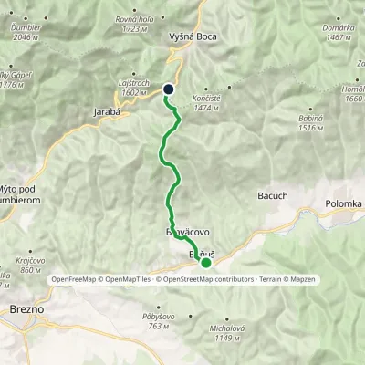 ModerateOne-dayMarkedBeňuš Čertovica, motelElevation profile540–1 542 m11.2 kmascent 1 017 m≈ 5 h walking
Craft nearby
All craft places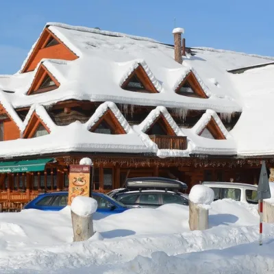 Koliby & Hutsul cuisineKoliba Strachanovka, Jánska valleyLiptovský Ján16 km from the trailKoliba Strachanovka (Jánska koliba) is a large wooden koliba at the entrance to the Jánska valley in the village of Liptovský Ján, which locals consider one of the...
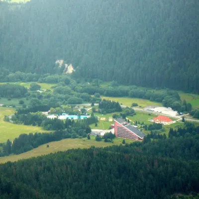 Water parks & thermal poolsTERMAL raj thermal bath, Liptovský JánLiptovský Ján16 km from the trailLiptovský Ján: thermal water at the entrance to Jánska dolina Liptovský Ján is an old village in southern Liptov, about 10 km from Liptovský Mikuláš, at the entrance...
 Cheese dairies & pasturesSalaš Zbojská: sheep’s cheese, bryndza and žinčica on the passTisovec20 km from the trailThe Zbojská pass lies at about 740 metres in the forests between Brezno and Tisovec, on the edge of the Hron valley and the Muránska planina plateau.
 Craft beer & breweriesLiptovar brewery, Liptovský Mikuláš: craft beer and brewpubLiptovský Mikuláš22 km from the trailLiptovský Mikuláš is the main town of the Liptov region, a short drive from the Low and Western Tatras, the Demänovská Valley and the Liptovská Mara reservoir.
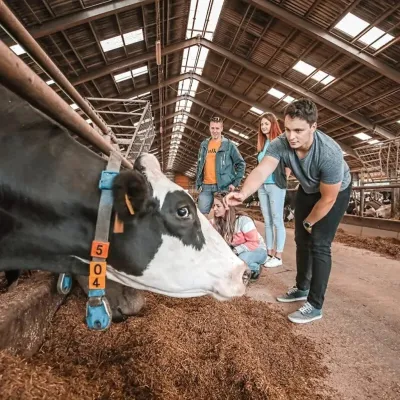 Eco farmsFarma Východná — organic farm below the TatrasVýchodná24 km from the trailFarma Východná is the highest-lying organic farm in Liptov, at 930 m in the village of Východná right below the Tatras.
 Water parks & thermal poolsBrusno Spa: mineral springs, treatments and Caracalla SpaBrusno25 km from the trailBrusno Spa (Kúpele Brusno) lies in the Hron valley (Horehronie), about 20 km north-east of Banská Bystrica, on the northern slopes of the Vepor massif in the Slovak...
