Hirskyi Kraievyd


What to see nearby
The best within 10 km, as the crow flies
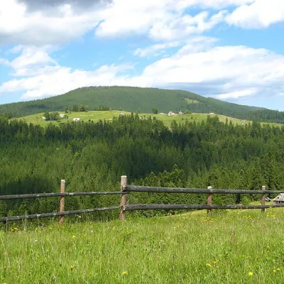 Mount MaguraPeak · 2.0 km
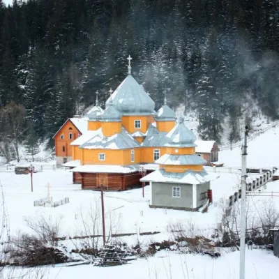 Church of St. Basil the GreatChurch · 2.5 km
 Museum of History and Local LoreMuseum · 3.7 km
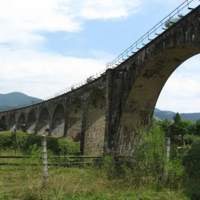 Austrian viaduct bridgeArchitecture · 4.0 km
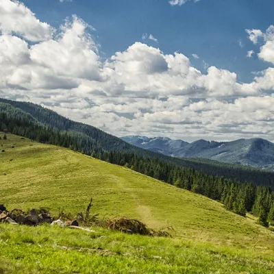 Polonyna KhomyakovMountain meadow · 7.2 km
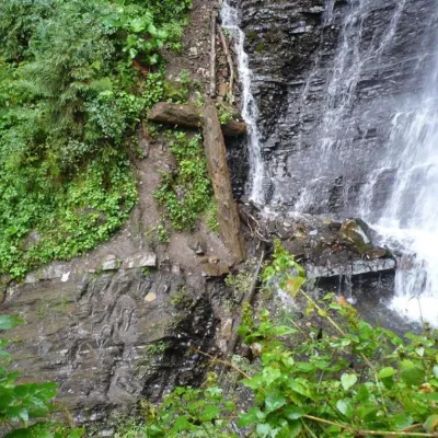 Zhenetsky Hook waterfallWaterfall · 8.8 km
Trails starting within 5 km: 31
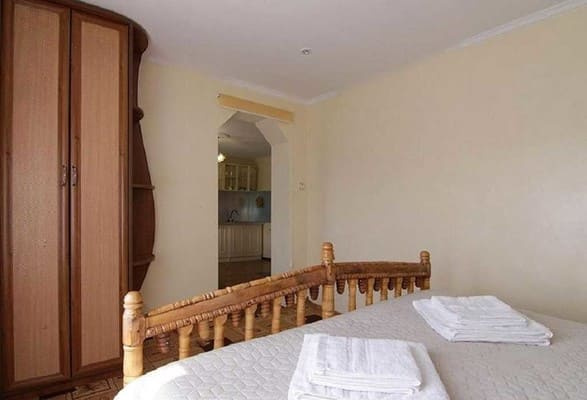
Cottage "Hirskyi Kraievyd" is located in a picturesque natural area among the Carpathian mountains and forest. The center of the village is 3 km away. Guests have access to a cottage with five separate bedrooms, two bathrooms, and a living room. Two bedrooms have balconies with mountain views. The cottage is equipped with all necessary amenities for a comfortable stay: double beds with bedding, bedside tables. The living room features a flat-screen TV with satellite channels and a large dining table. The kitchen is equipped with a refrigerator, electric kettle, electric stove, kitchenware, and dining area. The cottage offers two bathrooms, each equipped with a toilet, sink, shower cabin, towel dryer, towels, hairdryer, and toiletries. On the territory, guests can enjoy an outdoor gazebo, barbecue area, and grill. Free transfer from the road to/from the homestead is provided upon check-in and check-out. Subsequently, transfer services are available for an additional fee if needed. For an extra charge, guests can enjoy extreme off-road trips, snowmobiling, horseback riding, fishing (trout farm 1 km from the house), and excursions to the mountains Hoverla, Petros, Synyak, and Khomiak at any time of the year. The distance from the cottage "Hirskyi Kraievyd" to the Tatary-Bukovel railway station is 11.7 km, to the Vorokhta station is 4.6 km, and to the bus stop "Independence St." Tatary is 10.4 km.
Additional places are not provided.
By public transport: by bus or minibus Ivano-Frankivsk–Yablunytsia–Rakhiv, get off at the stop near the church. By car: to Ivano-Frankivsk, then along the H-09 highway to the village of Yablunytsia. In the village, you can arrange a meeting or transfer with the hosts near the church. The transfer is included in the accommodation price upon check-in and check-out.
You can cook your own meals in the shared kitchen. There is also a meadow nearby where Hutsul dishes are prepared on request, just 300 meters away. The nearest cafe and shop are 3 km away.
Location on the map
Reviews
Nearby attractions
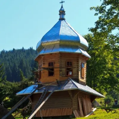 ChurchChurch of the Dormition of the Mother of God, YablunitsaYablunytsia2.5 km from Hirskyi KraievydTheChurch of the Assumption of the Blessed Virgin Mary is a local landmark and is the least popular among the wooden churches in Yaremche City Council.
 SightYablunytskyi pass, YablunytsiaYablunytsia3.2 km from Hirskyi KraievydYablunytskyi Pass is a transportation artery that connects Ivano-Frankivsk and Zakarpattia regions. There are observation decks on the pass that offer a beautiful and...
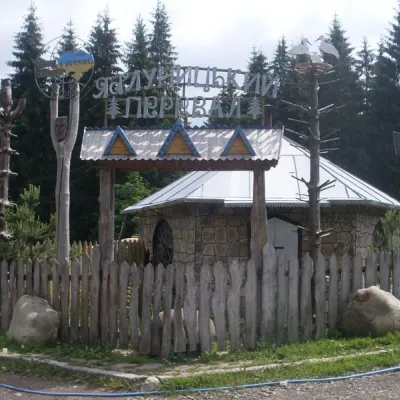
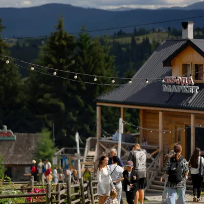 Mountain meadowPolonyna Pertsi Ethno Park, YablunytsiaYablunytsiaaltitude 940 m · Kukul range4.9 km from Hirskyi KraievydPolonyna Pertsi (“Pepper Meadow”) is an ethno park of Hutsul traditions in Yablunytsia, close to the Yablunytsia Pass.
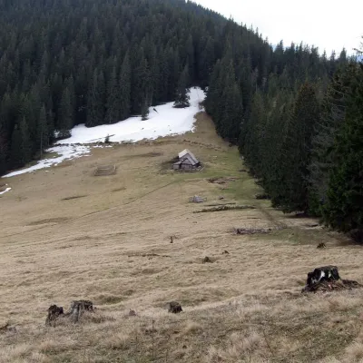 Mountain meadowPolonyna Bukovyna (Kukul Ridge)Voronenkoaltitude 1 150 m7.6 km from Hirskyi KraievydPolonyna Bukovyna, often called Bukovynka, lies on the north-western section of the Kukul ridge, south of Vorokhta and close to the village of Voronenko in Nadvirna...
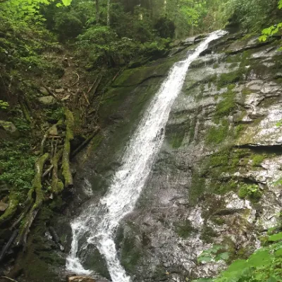 WaterfallNarinetskyi waterfall, MykulychynMykulychyn7.9 km from Hirskyi KraievydNarinetskyi Waterfall is a waterfall in the Ukrainian Carpathians, on the Noretskyi Stream (a left tributary of the Zhenets River).
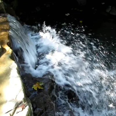 WaterfallBagrovetsky waterfallYaremche12 km from Hirskyi KraievydBagrovetsky Waterfall is one of the most famous waterfalls in the Yaremche region, located in the city of Yaremche.
Craft nearby
All craft places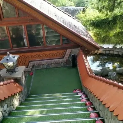 Koliby & Hutsul cuisineStara Vorokhta Restaurant, VorokhtaVorokhta3.9 km from Hirskyi KraievydStara Vorokhta restaurant ("Old Vorokhta") is one of the best-known places for Hutsul food in Vorokhta: on Google Maps it is rated 4.6 from more than 6,300 reviews, a...
 Markets & fairsSouvenir Bazaar by the Ski Jumps, VorokhtaVorokhta4 km from Hirskyi KraievydThe souvenir bazaar in Vorokhta is one of the busiest little trading spots in the mountain Hutsul region.
 Theme parksDinoPark, Polianytsia (Bukovel)Yablunytsia4.9 km from Hirskyi KraievydDinoPark in Polianytsia is an open-air dinosaur theme park at the entrance to Bukovel resort. It is easy to spot from the road: a huge dinosaur figure stands right by...
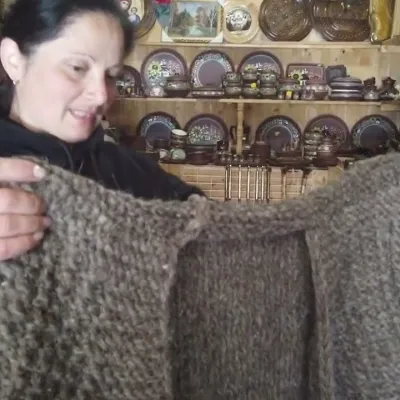 Markets & fairsSouvenir Market on the Yablunytsia Pass, YablunytsiaYablunytsia5.9 km from Hirskyi KraievydThe souvenir market on the Yablunytsia Pass is one of the best-known roadside bazaars in the Carpathians.
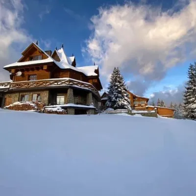 Koliby & Hutsul cuisineVysokyi Pereval Koliba, YablunytsiaYablunytsia6 km from Hirskyi KraievydVysokyi Pereval Koliba ("High Pass") stands in Yablunytsia, on the new road to Bukovel, in the Horishkiv area.
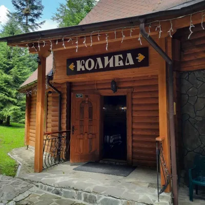 Koliby & Hutsul cuisineKoliba “Dykyi Med”, TatarivTatariv6.7 km from Hirskyi KraievydThe Dykyi Med (“Wild Honey”) kolyba is the heart of a private estate of the same name in the Zhenets area of Tatariv, in a valley the locals call the Honey Valley.
Peaks nearby
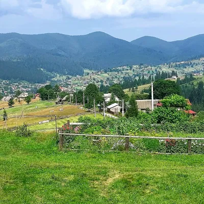 PeakMount OseredokVorokhtaaltitude 915 m · Chornohora range4.8 km from Hirskyi Kraievyd1 trail to the topOseredok is a modest 915 m summit right above Vorokhta (about 2 km), north of the Chornohora range, in Ivano-Frankivsk Oblast.
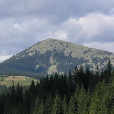 PeakMount KhomiakTatarivaltitude 1 542 m · Chornohora range6.3 km from Hirskyi Kraievyd40 trails to the topKhomiak (1542 m) is a cone-shaped peak of the Gorgany range above Tatariv and Polianytsia; a statue of the Virgin Mary stands on its rocky top.
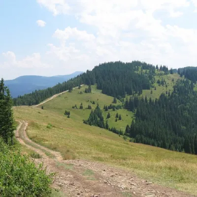 PeakMount LisnivTatarivaltitude 1 257 m · Pokuttia-Bukovyna Carpathians range7.7 km from Hirskyi Kraievyd16 trails to the topMount Lisniv is a 1257-meter peak of the Ukrainian Carpathians, which is located on the territory of the Pokutsko-Bukovyna mountain range.
Trails nearby
All trails HardMulti-dayYablunytsia village to Bystrytsia villagevia Mount Khomiak, Mount Syniak +3Elevation profile745–1 754 m38.2 kmascent 2 127 m≈ 14 h walking2.6 km from Hirskyi Kraievyd
 HardMulti-dayYaremche to Tatariv villagevia the Yavirnyk ridge, Zhenetskyi Huk Waterfall +4Elevation profile507–1 665 m46.8 kmascent 2 294 m3.2 km from Hirskyi Kraievyd
 HardTwo-dayMarkedTatariv village to Zhenets tract (Mykulychyn village)via Mount Khomiak, Zhenetskyi Huk WaterfallElevation profile642–1 542 m21.9 kmascent 929 m≈ 7.5 h walking3.2 km from Hirskyi Kraievyd
