Map butterfly
About
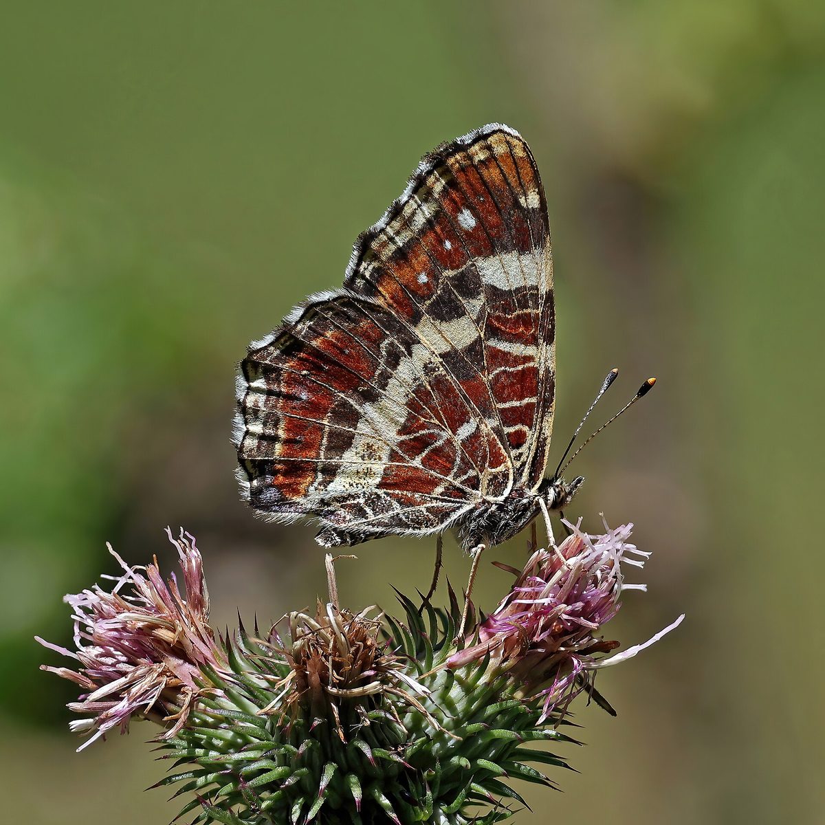
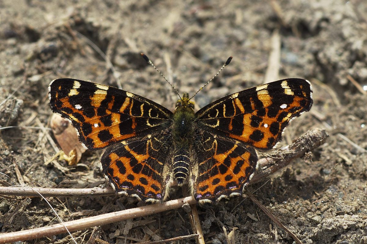
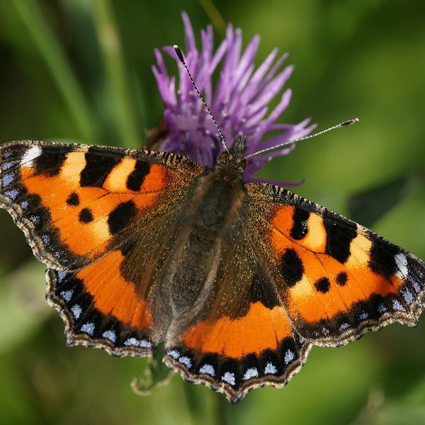
The Map butterfly is the smallest of our butterflies, with a wingspan of 3–4 cm. Its main feature is seasonal variability. The butterflies of the spring generation, which fly from April to June, are reddish with black spots and resemble a small broken wing. The summer generation, which emerges in July and August, is quite different: the wings are black with a white band and thin reddish lines.
Both forms are the same species. The coloration depends on the length of the day during which the caterpillar develops: under the short autumn day, the pupae winter and produce the reddish spring form, while under the long summer day without wintering, the black-and-white form emerges.
The underside of the wings in both forms is the same — brown, with a dense network of light lines resembling a geographical map. Hence the English name 'Map butterfly.'
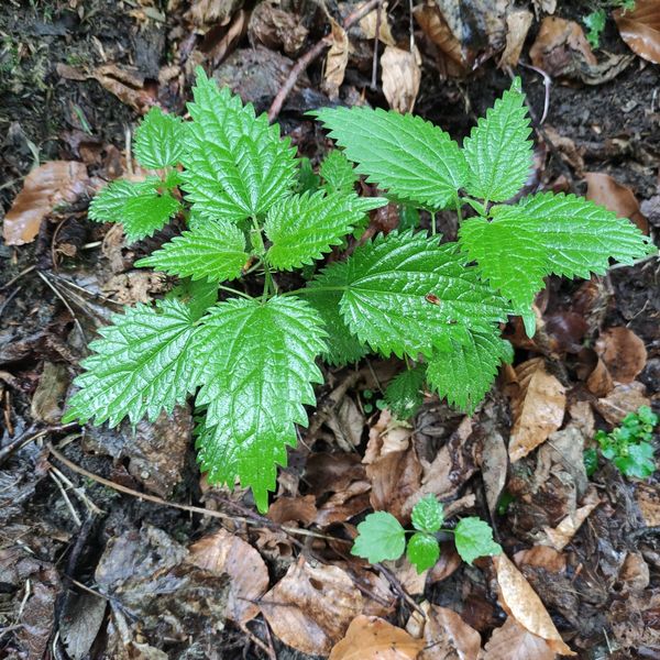
In the Carpathians, the Map butterfly lives in moist forest edges, clearings, along streams, and forest roads where nettle grows. The butterflies feed on the nectar of umbrella plants, sedges, and thistles.
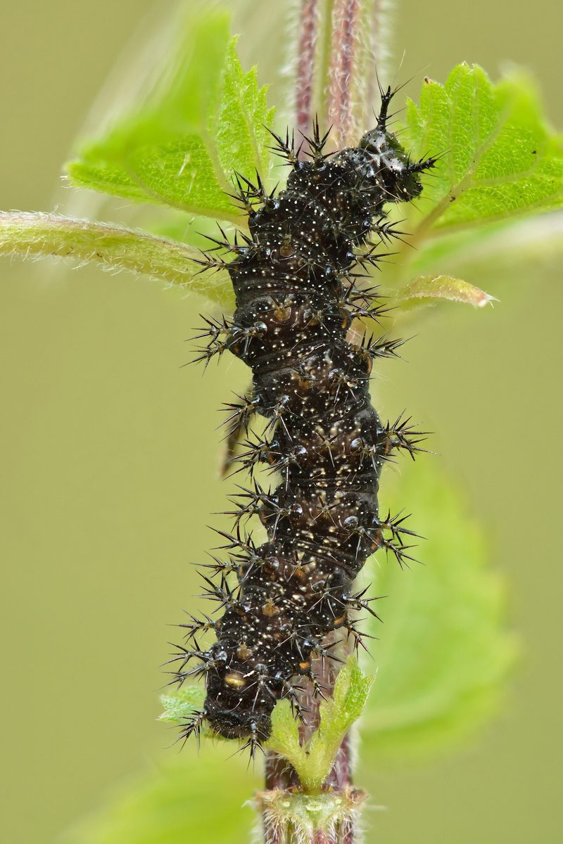
The female lays eggs not in clusters, but in chains: one egg on top of another, a few at a time, and these green 'columns' hang from the underside of the nettle leaf. The caterpillars are black with branched spines and initially live in groups. The pupa overwinters.
Where in the Carpathians

The map shows where naturalists recorded the species (GBIF, CC0 and CC BY records), not every place it lives. The Ukrainian Carpathians are less studied, so a blank area does not mean the species is absent.
- Countries
- Hungary · Romania · Ukraine · Slovakia · Poland · Austria · Czechia
- Mountain ranges
- Bükk, High Tatras, Börzsöny and Cserhát, Zemplén Mountains, Mátra, Piatra Craiului, Maramureș Mountains, Nemira and Bodoc Mountains, Bihor-Vlădeasa Mountains, Vrancea Mountains
- Altitude belts
- Foothills (below 600 m) · Beech forests (600–1200 m)
When to see it
| Jan | Feb | Mar | Apr | May | Jun | Jul | Aug | Sep | Oct | Nov | Dec | |
|---|---|---|---|---|---|---|---|---|---|---|---|---|
| Sightings |
From naturalists’ observations in the Carpathians (iNaturalist, research grade): the darker the cell, the more often the species is seen that month.
Protection and rules
Not listed in the Red Book of Ukraine.
FAQ
Why can the Map butterfly be reddish and black?
These are seasonal forms of the same species. The spring generation is reddish, the summer is black with a white band; the coloration is determined by the length of the day during which the caterpillar grew.
Where to look for the Map butterfly?
In moist forest edges, clearings, and along streams where nettle grows — the food plant for the caterpillars.
Similar species
Where to meet it
Trails
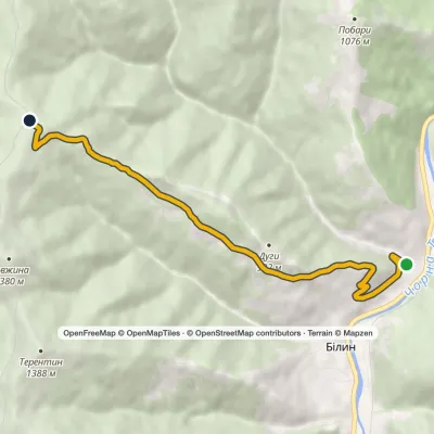 ModerateOne-dayMarkedBilyn village Perelisok shelterElevation profile509–1 279 m6.5 kmascent 770 m≈ 3 h walking
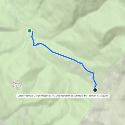 EasyOne-dayMarkedMezhyriky Vivchyna polonynaElevation profile854–1 048 m3.3 kmascent 193 m≈ 1 h walking
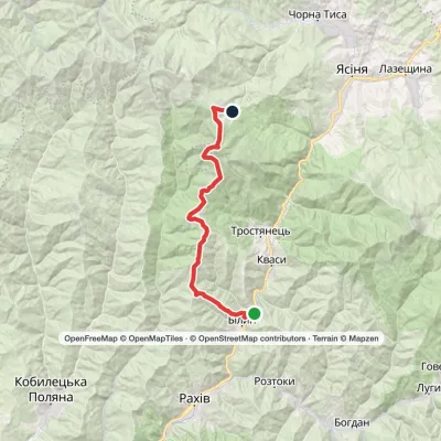 Hard1–2 daysBilyn village to Dragobratvia Mount Blyznytsia, Mount StihElevation profile498–1 785 m26.5 kmascent 1 717 m≈ 9.5 h walking
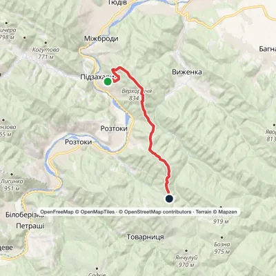 ModerateOne-dayMarkedNimchych Pass Protiate KaminniaElevation profile477–834 m20.9 kmascent 577 m≈ 6 h walking
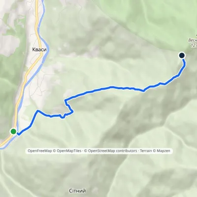 EasyOne-dayMarkedSitnyi Menchul (Kvasy village)Elevation profile509–1 216 m4.8 kmascent 707 m≈ 2.5 h walking
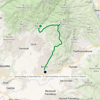 ModerateOne-dayMarkedKamianka tract Bilky villagevia Mount BerdoElevation profile150–928 m16 kmascent 565 m≈ 5 h walking
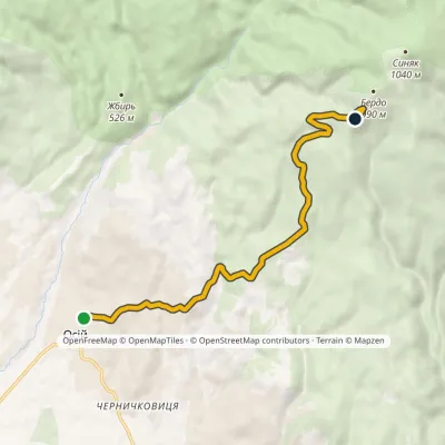 ModerateOne-dayMarkedOsii village Mount BerdoElevation profile257–928 m8.5 kmascent 678 m≈ 3.5 h walking
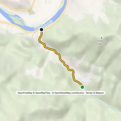 EasyOne-dayMarkedSmuharski WaterfallsElevation profile398–488 m4 km≈ 1 h walking
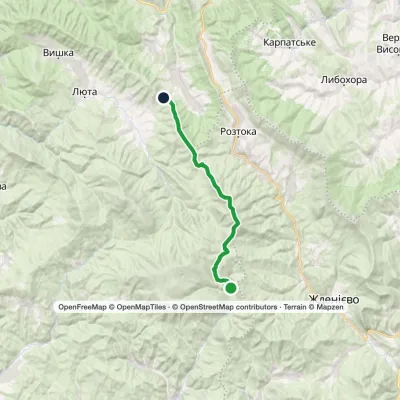 ModerateOne-dayMarkedMount Hostra PrelukyElevation profile660–1 405 m19.4 kmascent 1 038 m≈ 6.5 h walking
 ModerateOne-dayTuria Poliana village loopvia Voievodyn WaterfallElevation profile471–979 m14.3 kmascent 506 m≈ 4.5 h walking
 EasyOne-dayTuria Poliana village Voievodyn WaterfallElevation profile431–878 m7 kmascent 447 m≈ 2.5 h walking
 Hard1–2 daysShybene village loopvia Mount Stih, Mount Reheska +1Elevation profile847–1 571 m32.2 kmascent 897 m≈ 9.5 h walking
Waters and waterfalls
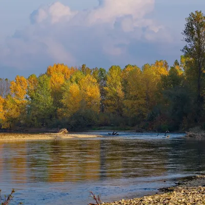 RiverTysa River (Tisza)RakhivThe Tysa (Tisza) is the main river of Zakarpattia. It begins on the north-eastern edge of Rakhiv, where the Chorna...
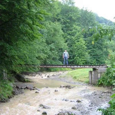 WaterfallMikva waterfallVyzhenkaThe Mykva Waterfall is a small but very picturesque waterfall located in the village of Vyzhenka, Chernivtsi region.
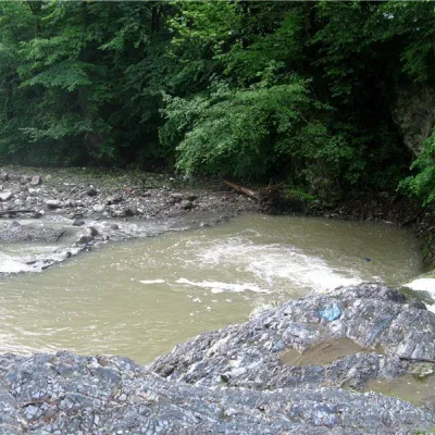 RiverVyzhenka RiverVyzhenkaTheriver Vyzhenka is located in the village of the same name in the Chernivtsi region.
Mountain ranges: Maramureș Mountains, Pokuttia-Bukovina Carpathians. In other countries: 🇭🇺 Bükk, 🇸🇰 High Tatras, 🇭🇺 Börzsöny and Cserhát, 🇭🇺 Zemplén Mountains, 🇭🇺 Mátra, 🇷🇴 Piatra Craiului, 🇷🇴 Nemira and Bodoc Mountains, 🇷🇴 Bihor-Vlădeasa Mountains, 🇷🇴 Vrancea Mountains, 🇸🇰 Slovak Ore Mountains, 🇷🇴 Bistrița Mountains, 🇷🇴 Hășmaș Mountains
Trails and peaks near which naturalists recorded the species (GBIF, iNaturalist), matched by altitude and habitat. Sightings are not guaranteed.
Sources
- Вікіпедія: Сонцевичок змінний
- Wikipedia (en): Map (butterfly)
- iNaturalist: Araschnia levana (спостереження в Карпатах)
GBIF · iNaturalist · Wikidata · Distribution data: GBIF.org (CC0 and CC BY records), iNaturalist; names and identifiers: Wikidata (CC0). Text: Karpaty.rocks, checked 11.11.2026.
