Ďurkovec
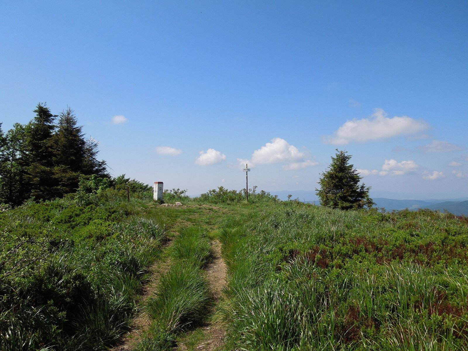
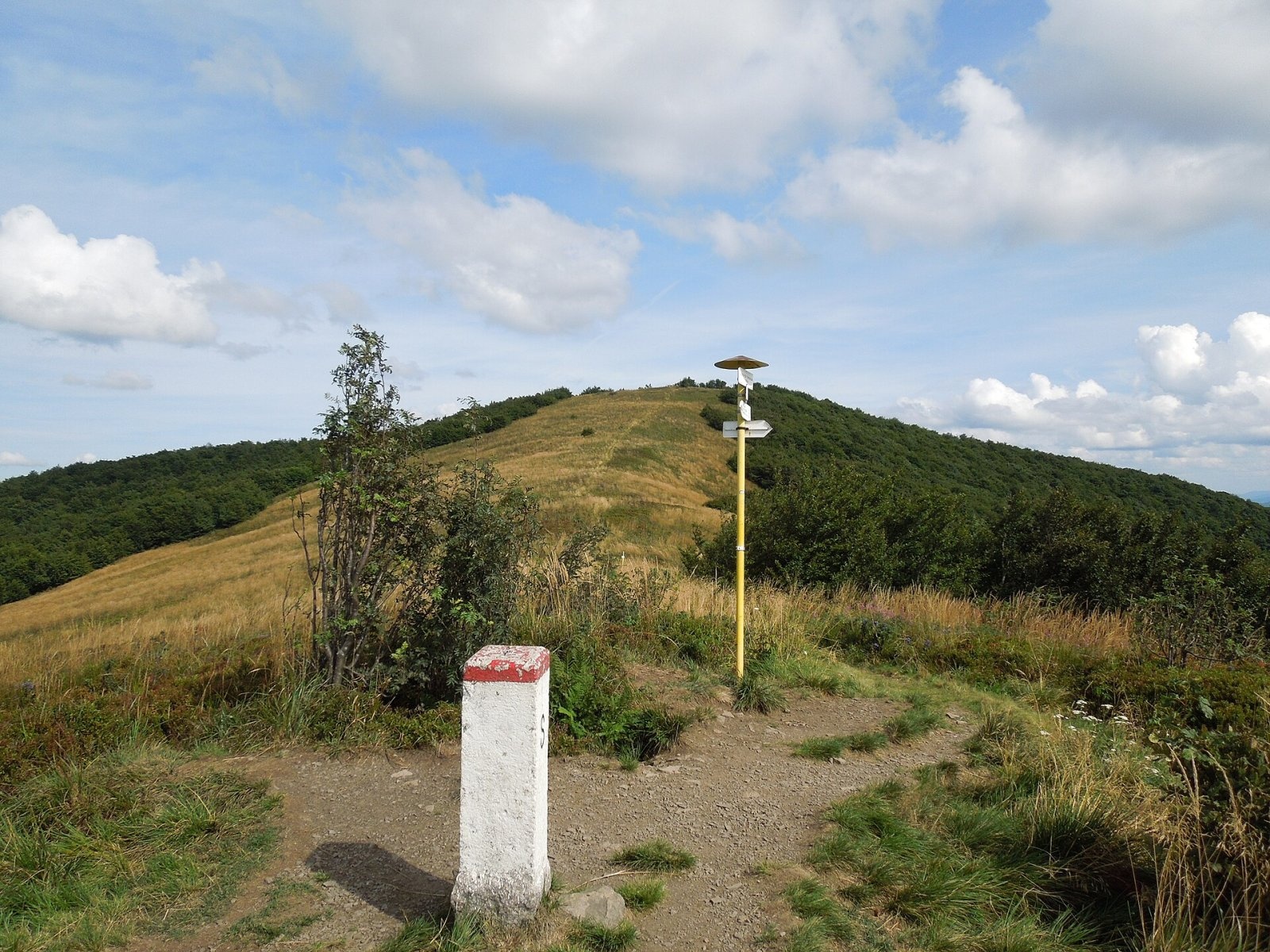
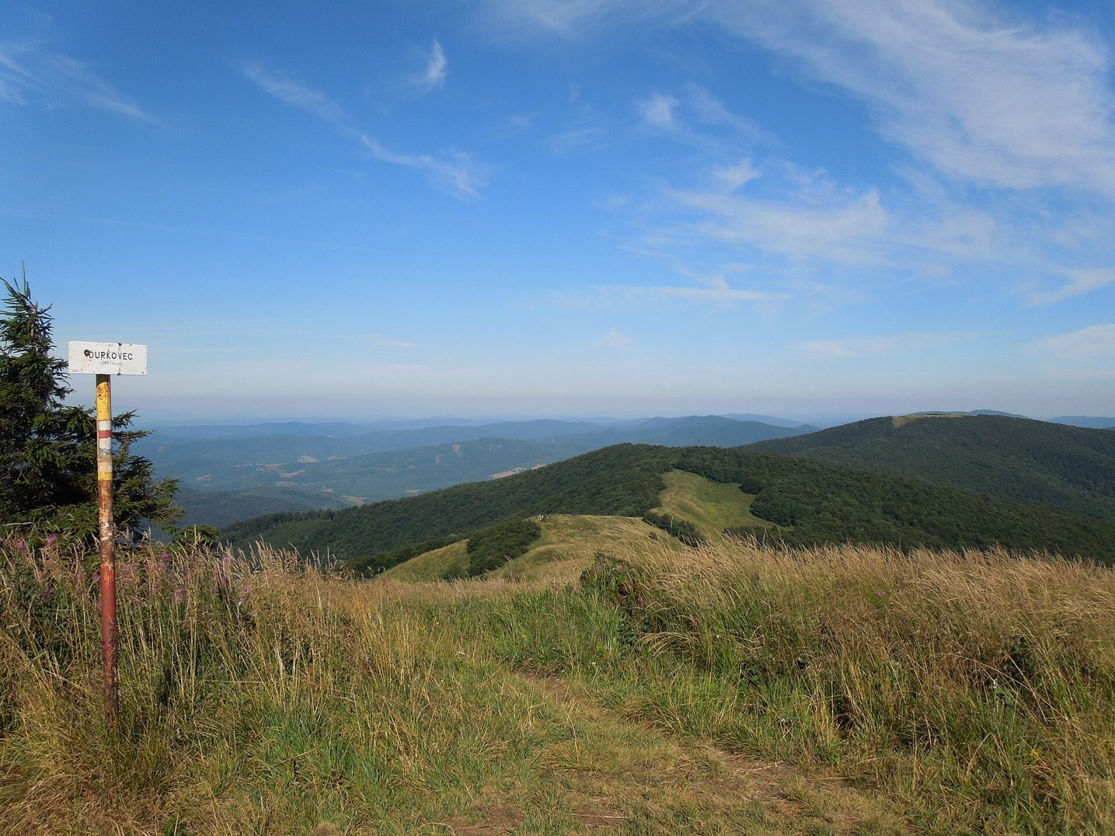
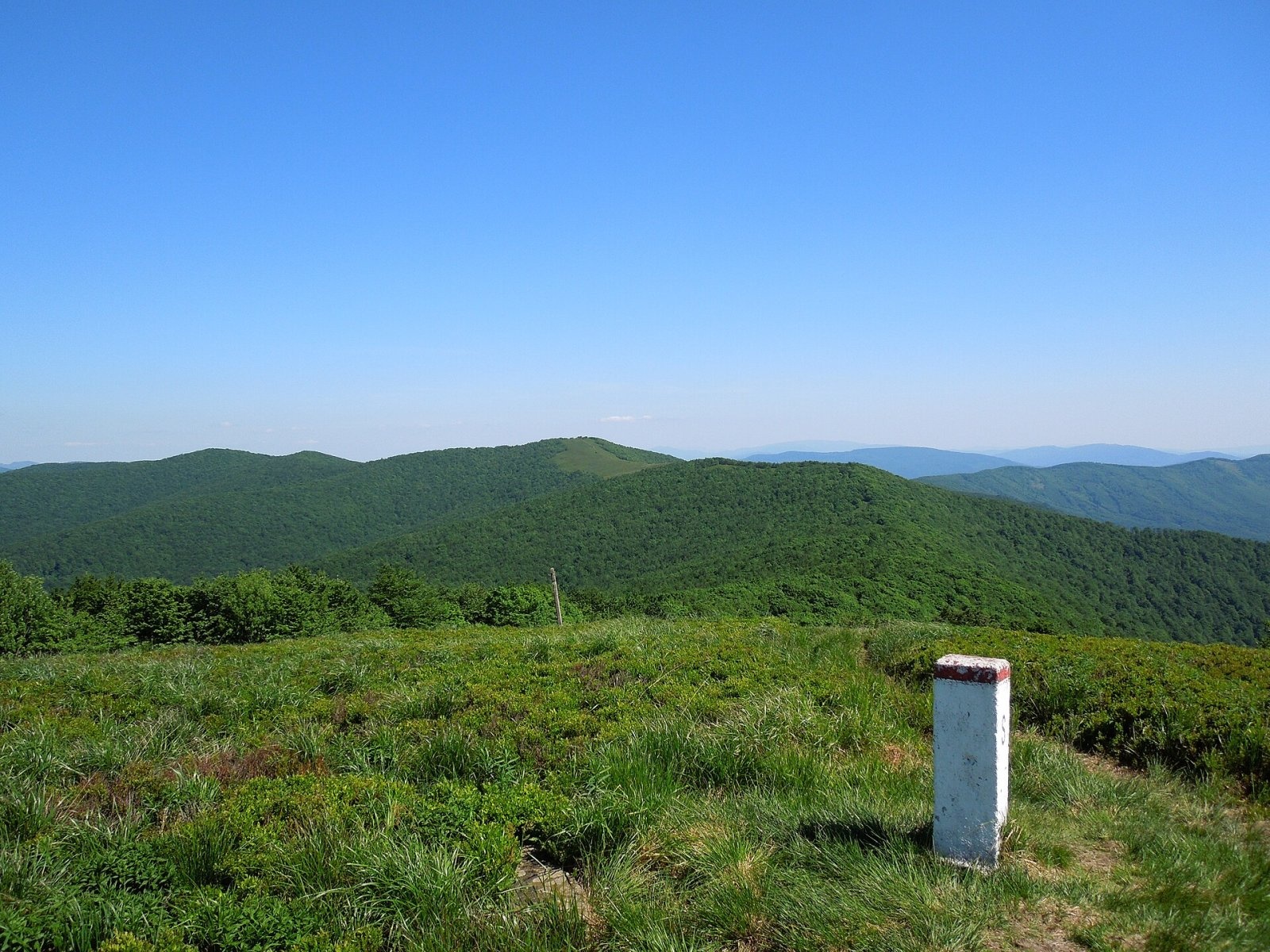
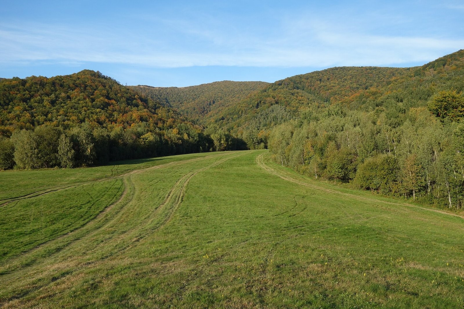
Ďurkovec (Polish Dziurkowiec) is a 1,189 m summit on the border ridge of the Western Bieszczady (the Slovak Bukovské vrchy), on the Polish–Slovak frontier. It lies between Pľaša (1,163 m) to the north-west and Jarabá skala (Riaba Skała, 1,199 m) to the east, above the Slovak village of Runina, about 22 km north-east of Snina. A long wooded spur runs south over Veľký Bukovec and Kýčera to the Ulička valley, while the northern slopes drop to the Chomów stream valley on the Polish side, home to Wetlina and Strzebowiska (Cisna commune).
The summit and the neighbouring ridge carry open woodland and poloniny — mountain meadows with wide views. Slovak sources call the meadows between Ďurkovec and Pľaša the most beautiful poloniny in Slovakia.
How to get there / routes
- The red East Carpathian Trail (KST 0918) follows the ridge: from Ruské sedlo via Kruhliak, Pľaša and the saddle below Ďurkovec, and east via Jarabá skala to Kremenec. On the Polish side the blue border trail Rzeszów–Grybów (Biała–Grybów in Polish Wikipedia) runs together with it, crossing the summit between Riaba Skała and Okrąglik.
- From Runina a Slovak green trail climbs via the saddle below Ďurkovec (1,120 m); Runina is the main gateway to Poloniny National Park.
- From the Polish site of Stare Sioło a yellow trail goes up via Riaba Skała, and there is also a cross-border path Wetlina – Riaba Skała – Runina.
The sources give no official walking times. Local buses run to Runina from Humenné (about 53 km) and Snina (about 32 km).
What you can see from the summit
In good conditions you can see the peaks of the Bukovské vrchy, the Slanské and Vihorlat hills, the Polish Bieszczady and the Ukrainian Carpathians. According to Slovak Wikipedia, on very clear days the High Tatras and Kráľova hoľa in the Low Tatras, more than 160 km away, can be seen; the view of Veľká Vápenica in the Low Tatras (180 km) is one of the longest domestic sightlines in Slovakia. In the opposite direction the Gorgany mountains, over 100 km away, are visible.
Nature and history
On the Slovak side Ďurkovec and Jarabá skala form the Jarabá skala national nature reserve (declared in 1964, about 360 ha, the highest, 5th level of protection) in Poloniny National Park. The summit area belongs to the Stužica – Bukovské vrchy site, inscribed in 2007 on the UNESCO World Heritage List as part of the Carpathian primeval beech forests: beeches over 200 years old reach almost 40 m and firs over 300 years old up to 50 m. On the Polish side the summit lies in the Cisna-Wetlina Landscape Park and the Dziurkowiec nature reserve created in 2025. The area is the darkest in Slovakia in terms of light pollution, and the country's first dark-sky park, Poloniny, was established here. Second World War trenches survive on the slopes, and about 50 m from the trail below the summit on the Slovak side is a spring, the source of the Poloninský potok.
Safety, season and rules
In the Jarabá skala reserve it is forbidden to leave the marked trails, light fires, camp, pick plants or disturb the peace. The ridge is far from villages, so carry water, warm clothing and spare time; the open meadows are windy, and in fog it is easy to lose the way even though the border follows the crest. Snow lies long here in winter. On the Polish side help comes from the Bieszczady group of GOPR: 985 or +48 601 100 300; on the Slovak side from the HZS Mountain Rescue Service: 18 300 (+421 18 300). The general emergency number is 112.
Interesting facts
- The precise Slovak height is 1,188.7 m.
- Ďurkovec lies on the main Carpathian ridge, followed by the East Carpathian Trail from the Dukla Pass to the tripoint on Kremenec.
Photos: Milan Bališin, CC BY-SA 4.0; Milan Bališin, CC BY-SA 4.0; Milan Bališin, CC BY-SA 4.0; Milan Bališin, CC BY-SA 4.0; Milan Bališin, CC BY-SA 4.0; Milan Bališin, CC BY-SA 4.0; Jiří Komárek, CC BY-SA 4.0 — Wikimedia Commons.
Getting there from Ukraine
Border crossings
- Krakovets – Korczowa — road, 24/7
- Shehyni – Medyka — road, 24/7 Pedestrian crossing is not confirmed by the Ukrainian border service — check dpsu.gov.ua before the trip.
- Smilnytsia – Krościenko — road, 24/7
- Hrushiv – Budomierz — road, 24/7
- Mostyska – Przemyśl (rail) — rail, 24/7
By car
Lviv – Sanok ≈168 km, ≈3 h 20 min without queues: road to Shehyni → Shehyni – Medyka checkpoint → Przemyśl → DK28 via Bircza to Sanok (≈83 km, ≈1 h 45 min from the border). Alternative via Krakovets – Korczowa: A4 to the Radymno exit, DK77 to Przemyśl and DK28 (≈185 km from Lviv, ≈3 h 25 min). For the Bieszczady proper, Smilnytsia – Krościenko is handier: Lviv – Sambir – Staryi Sambir – border, then DK84 via Ustrzyki Dolne to Sanok (≈203 km, ≈5 h; ≈57 km from the border). From Krościenko to Ustrzyki Górne by DW896 ≈53 km (≈1 h 40 min; ≈200 km and ≈4 h 50 min from Lviv), to Wetlina by DW896 and DW897 ≈69 km (≈216 km and ≈5 h from Lviv). From Sanok: Ustrzyki Górne ≈82 km (DK84 via Lesko, then DW896, ≈1 h 35 min), Wetlina ≈72 km (DK84 to Lesko, DW894 via Baligród and Cisna, DW897, ≈1 h 20 min).
Checked 23.10.2026; border crossing hours and timetables change — check before you travel.
Location on the map
Water and shelter nearby
- Spring below Ďurkovec350 m · Not verified · 1 113 m
- Spring below Riaba Skała1.5 km · Not verified · 1 041 m
- Spring below Płasza (south-east slope)2.1 km · Not verified · 1 115 m
- Spring below Płasza (north-west slope)2.9 km · Not verified · 1 111 m
- Brehy Hut3 km · Not verified · 562 m
Comments
Trails nearby
All trails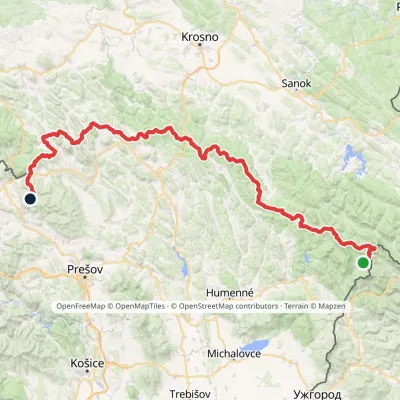 HardMulti-dayMarkedVýchodokarpatská magistrálaElevation profile390–1 209 m213.5 kmascent 7 991 munder 1 km from Ďurkovec
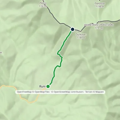 EasyOne-dayMarkedRunina Sedlo pod ĎurkovcomElevation profile551–1 132 m3.7 kmascent 581 m≈ 2 h walkingunder 1 km from Ďurkovec
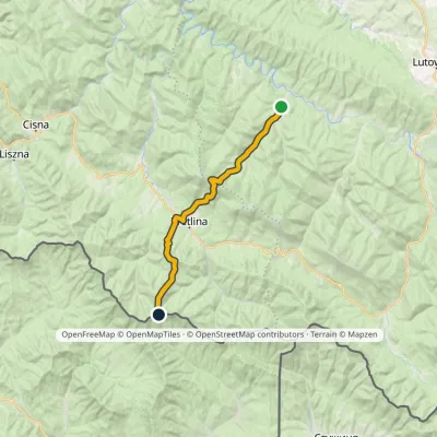 HardTwo-dayMarkedRiaba Skała ZatwarnicaElevation profile512–1 198 m20.1 kmascent 1 269 m≈ 7.5 h walking1 km from Ďurkovec
Nearby attractions
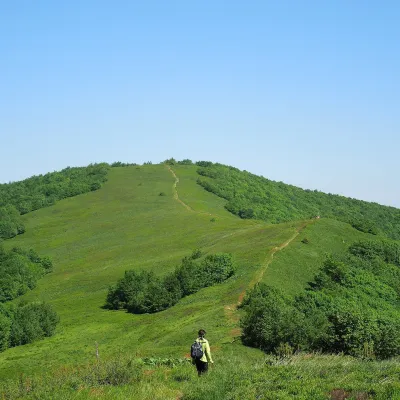 Mountain meadowĎurkovec and Pľaša meadowsRuninaaltitude 1 189 m · Gorgany rangeunder 1 km from ĎurkovecThe Ďurkovec meadows are the finest mountain grasslands of the Slovak Poloniny: grassy slopes covering the border ridge of the Bukovské vrchy between Pľaša (1,162.8 m)...
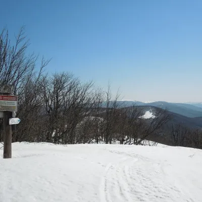 PeakRiaba SkałaWetlinaaltitude 1 199 m1 km from ĎurkovecRiaba Skała (also Rabia Skała; Slovak: Jarabá skala) is a 1,199 m summit on the border ridge of the Western Bieszczady, on the Polish–Slovak border.
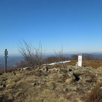 PeakPłaszaWetlinaaltitude 1 163 m2.5 km from ĎurkovecPłasza (Slovak Pľaša) is a 1163 m summit in the Western Bieszczady on the Polish–Slovak border; Slovak geographers place it in the Bukovské vrchy.
Craft nearby
All craft places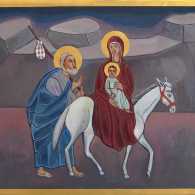 Crafts & workshopsVeraikon Icon Studio, Cisna: Carpathian icons and workshopsCisna15 km from ĎurkovecThe Veraikon Icon Studio (Pracownia Ikon Veraikon) in Cisna is, in its owners' words, the oldest and largest icon studio in the Bieszczady.
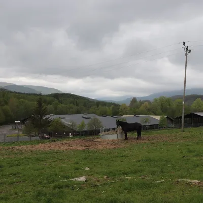 Horse ridingHucul Horse Stud in Wołosate, Bieszczady National ParkWołosate18 km from ĎurkovecWołosate is the southernmost inhabited village in Poland, tucked away in the valley of the Wołosatka stream below Tarnica, the highest peak of the Polish Bieszczady.
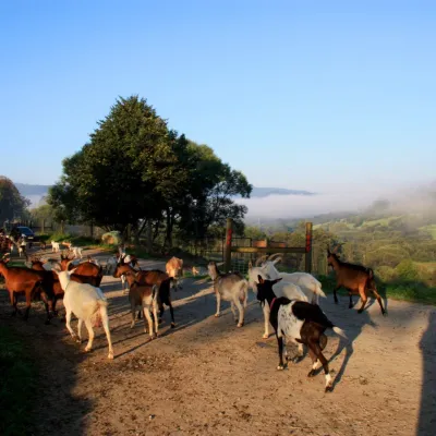 Cheese dairies & pasturesBieszczadzka Koza Goat Cheese Farm, SmolnikSmolnik23 km from ĎurkovecBieszczadzka Koza ("the Bieszczady Goat") is a family goat farm and artisan cheese dairy in the village of Smolnik on the San, in the eastern Polish Bieszczady, right...
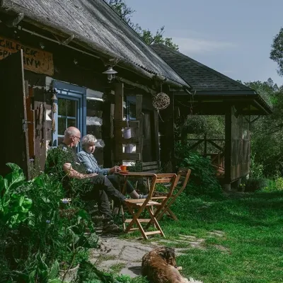 Craft producersBieszczadzkie Smaki, Smolnik: bread, liqueurs, preservesSmolnik29 km from ĎurkovecBieszczadzkie Smaki (“Bieszczady Flavours”) is a family producer of natural foods in the village of Smolnik on the Osława river, Komańcza municipality, on the western...
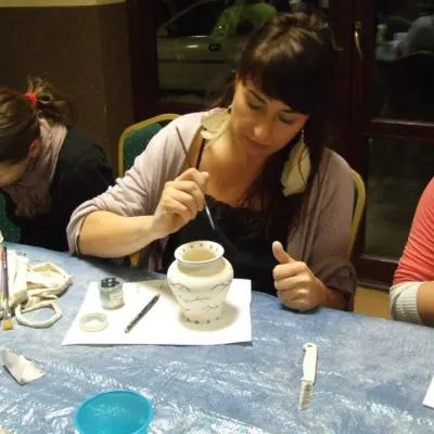 Crafts & workshopsGaleria Barak, Czarna: Bieszczady ceramics and workshopsCzarna Górna31 km from ĎurkovecGaleria Barak in the village of Czarna near Ustrzyki Dolne is the first private art gallery in the Bieszczady, and its story deserves telling.
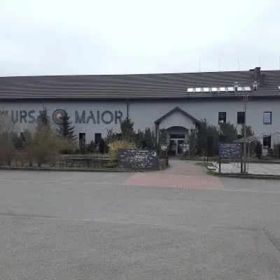 Craft beer & breweriesUrsa Maior Brewery, Uherce MineralneUherce Mineralne41 km from ĎurkovecUrsa Maior, or the Bieszczady Brewery (Bieszczadzka Wytwórnia Piwa), is an independent craft microbrewery in the village of Uherce Mineralne, between Lesko and...
