Riaba Skała
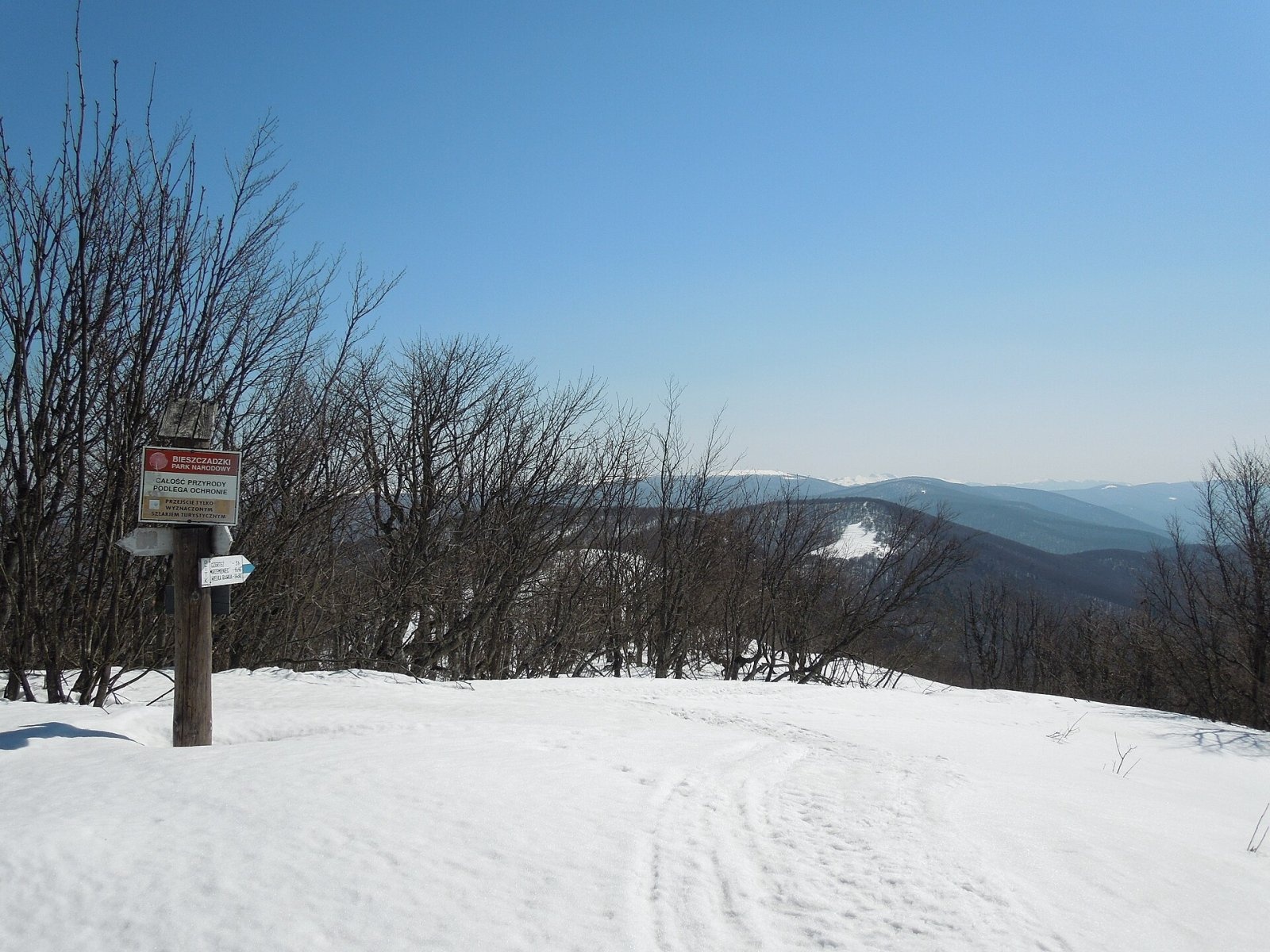
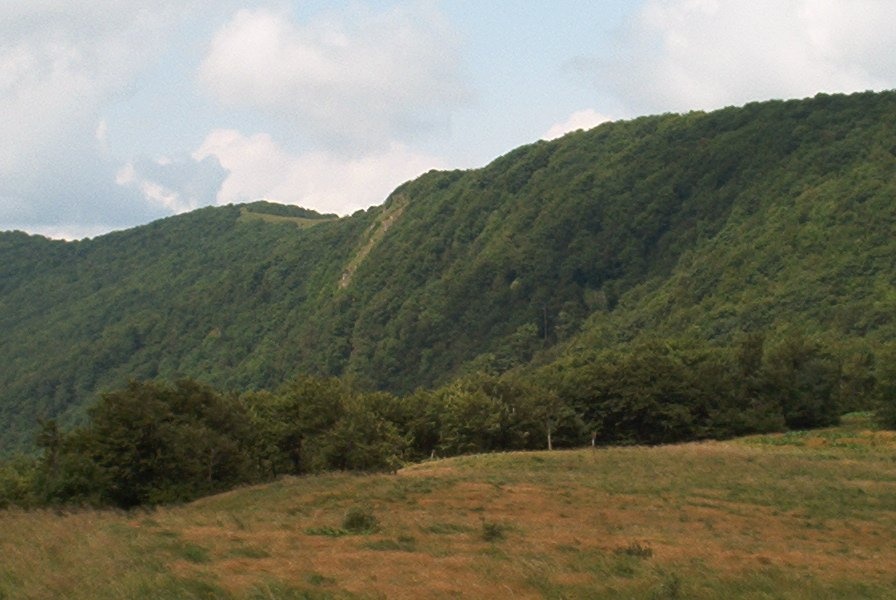
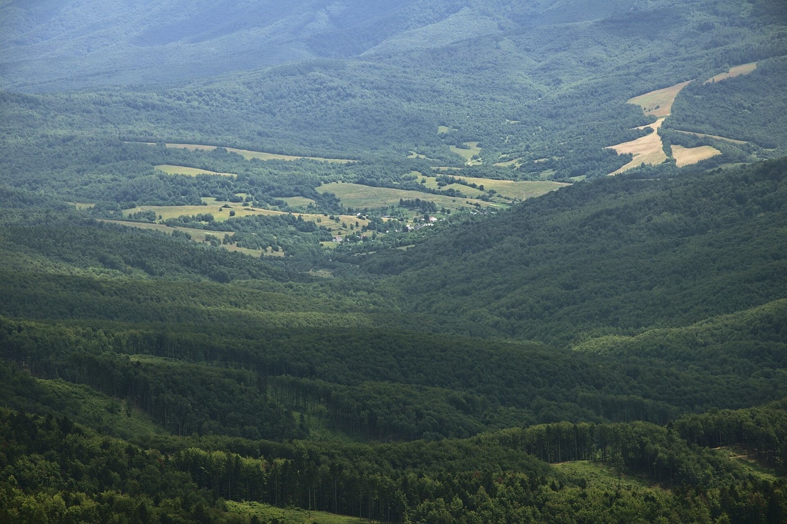
Riaba Skała (also Rabia Skała; Slovak: Jarabá skala) is a 1,199 m summit on the border ridge of the Western Bieszczady, on the Polish–Slovak border. Slovak geographers place it in the Bukovské vrchy and count it as the third-highest summit of those hills. The southern slopes belong to the village of Zboj in Snina District, Prešov Region; the northern slopes to the commune of Cisna in Lesko County, Subcarpathian Voivodeship. The nearest village is Slovak Runina, about 4.4 km to the south-west; on the Polish side Wetlina lies 6 km to the north.
The name comes from the Ukrainian word ryabyi — "speckled". The literature most often uses the distorted form Rabia Skała, found on 19th-century Austrian maps; Raba Skała is also regarded as correct. About a kilometre east of the main summit lies a lower eastern top (about 1,167–1,169 m) with border marker 1/15, and a side ridge with Paportna and Jawornik runs north from the highest point.
How to get there / trails
The main ridge routes of both countries cross the summit, and approach paths lead up from the Polish and Slovak sides.
- From Wetlina via Jawornik — about 2 h 55 min up (2 h 20 min down); this is the shortest way to the summit. The variant from the Stare Sioło settlement via Jawornik and Paportna takes 3 h 15 min (2 h 35 min down). A cross-border nature trail of the Bieszczady National Park, "Nadobnica alpejska", links Wetlina with Runina over the summit.
- Blue trail (part of the Rzeszów – Grybów route) along the ridge: from the pass above Roztoki Górne via Okrąglik to Riaba Skała and on via Krzemieniec and Wielka Rawka to Ustrzyki Górne. From the pass above Roztoki it is 3 h 55 min, from Krzemieniec 3 h 25 min, from Wielka Rawka 4 h, from Ustrzyki Górne 6 h 20 min.
- Red East Carpathian Trail (Slovak; shares the route with the blue trail as far as Krzemieniec).
- From Slovakia: from Runina via the saddle below Ďurkovec and Ďurkovec — 3 h 05 min up, 639 m of ascent; from Nová Sedlica via Poľana and Medová baba — 3 h 20 min, 789 m of ascent.
The view from the top
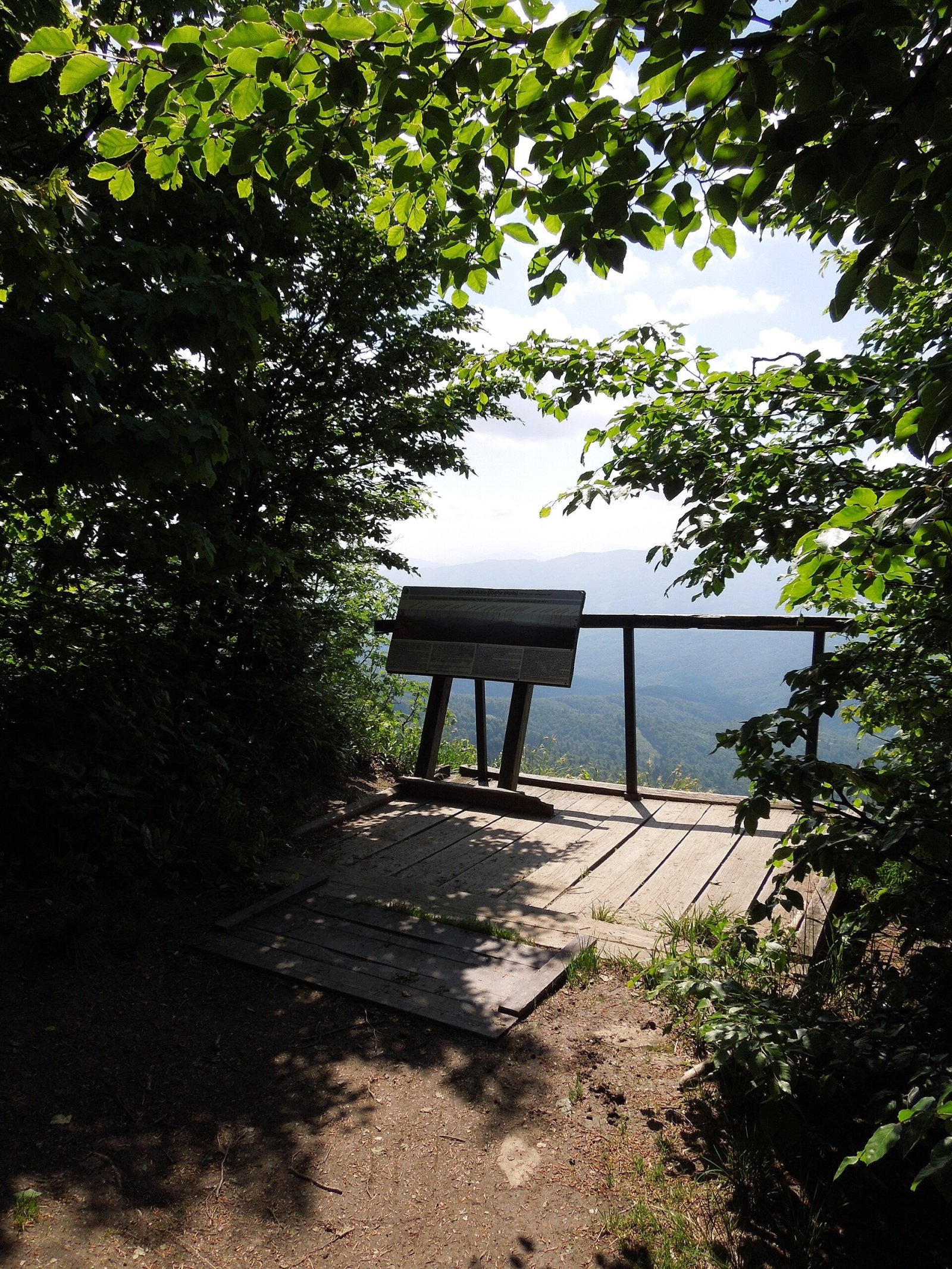
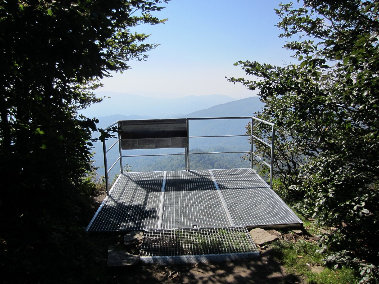
Between the two tops a very steep, in places precipitous slope drops to the south. Above it, on a rocky crag, stands a small metal viewing platform installed in 2016. It offers a view of roughly 145° to the south and south-east, over the Slovak and partly the Ukrainian Bieszczady as far as Pikui. Slovak sources also mention the Slanské and Vihorlat hills and the Polish Bieszczady.
Nature and protection
Riaba Skała is one of the most valuable natural sites of the borderland. The southern slopes lie in the Slovak Poloniny National Park, and their upper parts down to about 930 m in the Jarabá skala National Nature Reserve, established in 1964 over about 360 ha with the highest, fifth degree of protection. The summit area belongs to the Stužica – Bukovské vrchy component, inscribed on the UNESCO World Heritage List in 2007 as part of the Primeval Beech Forests of the Carpathians: beeches more than 200 years old and almost 40 m tall grow here, along with firs over 300 years old. On the Slovak side there is a block field several dozen metres long.
The northern slopes belong to the Bieszczady National Park, and the north-western slopes to the Cisna-Wetlina Landscape Park with the Dziurkowiec reserve. Plants rare in Poland recorded here include Spiraea media, long-leaved hare's-ear and Tozzia carpatica. The area around the mountain is the darkest place in Slovakia in terms of light pollution, home to the country's first dark-sky park, Poloniny.
Safety, season and rules
The routes are long and the villages far away, so start early and carry enough water. Near the cliff, stay on the platform and the marked paths. In both national parks and in the fifth-degree reserve you may walk only on marked trails; the Bieszczady National Park charges an entrance fee. In winter the ridge is snow-covered, and in bad weather it is very windy.
Rescue on the Polish side is GOPR: 985 or +48 601 100 300; on the Slovak side HZS: 18 300 (+421 18 300); 112 works everywhere.
Photos: Milan Bališin, CC BY-SA 4.0; Milan Bališin, CC BY-SA 4.0; Milan Bališin, CC BY-SA 4.0; kawiusz, Public domain; Jiří Komárek, CC BY-SA 4.0; Milan Bališin, CC BY-SA 4.0 — Wikimedia Commons.
Getting there from Ukraine
Border crossings
- Krakovets – Korczowa — road, 24/7
- Shehyni – Medyka — road, 24/7 Pedestrian crossing is not confirmed by the Ukrainian border service — check dpsu.gov.ua before the trip.
- Smilnytsia – Krościenko — road, 24/7
- Hrushiv – Budomierz — road, 24/7
- Mostyska – Przemyśl (rail) — rail, 24/7
By car
Lviv – Sanok ≈168 km, ≈3 h 20 min without queues: road to Shehyni → Shehyni – Medyka checkpoint → Przemyśl → DK28 via Bircza to Sanok (≈83 km, ≈1 h 45 min from the border). Alternative via Krakovets – Korczowa: A4 to the Radymno exit, DK77 to Przemyśl and DK28 (≈185 km from Lviv, ≈3 h 25 min). For the Bieszczady proper, Smilnytsia – Krościenko is handier: Lviv – Sambir – Staryi Sambir – border, then DK84 via Ustrzyki Dolne to Sanok (≈203 km, ≈5 h; ≈57 km from the border). From Krościenko to Ustrzyki Górne by DW896 ≈53 km (≈1 h 40 min; ≈200 km and ≈4 h 50 min from Lviv), to Wetlina by DW896 and DW897 ≈69 km (≈216 km and ≈5 h from Lviv). From Sanok: Ustrzyki Górne ≈82 km (DK84 via Lesko, then DW896, ≈1 h 35 min), Wetlina ≈72 km (DK84 to Lesko, DW894 via Baligród and Cisna, DW897, ≈1 h 20 min).
Checked 23.10.2026; border crossing hours and timetables change — check before you travel.
Location on the map
Water and shelter nearby
- Spring below Riaba Skała580 m · Not verified · 1 041 m
- Spring below Ďurkovec1.3 km · Not verified · 1 113 m
- Spring below Płasza (south-east slope)2.8 km · Not verified · 1 115 m
Comments
Trails nearby
All trails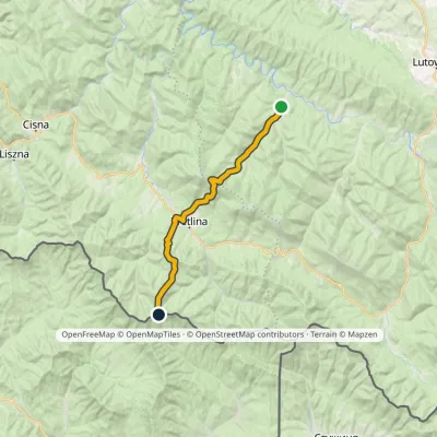 HardTwo-dayMarkedRiaba Skała ZatwarnicaElevation profile512–1 198 m20.1 kmascent 1 269 m≈ 7.5 h walkingunder 1 km from Riaba Skała
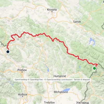 HardMulti-dayMarkedVýchodokarpatská magistrálaElevation profile390–1 209 m213.5 kmascent 7 991 munder 1 km from Riaba Skała
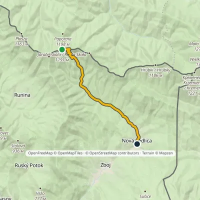 EasyOne-dayMarkedNová Sedlica WetlinaElevation profile390–1 189 m10.8 km≈ 2.5 h walkingunder 1 km from Riaba Skała
Nearby attractions
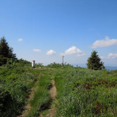 PeakĎurkovecWetlinaaltitude 1 189 m1 km from Riaba SkałaĎurkovec (Polish Dziurkowiec) is a 1,189 m summit on the border ridge of the Western Bieszczady (the Slovak Bukovské vrchy), on the Polish–Slovak frontier.
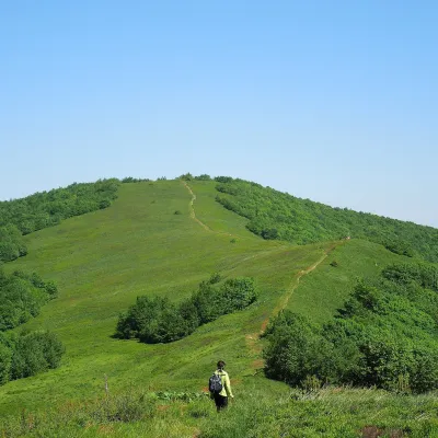 Mountain meadowĎurkovec and Pľaša meadowsRuninaaltitude 1 189 m · Gorgany range1.3 km from Riaba SkałaThe Ďurkovec meadows are the finest mountain grasslands of the Slovak Poloniny: grassy slopes covering the border ridge of the Bukovské vrchy between Pľaša (1,162.8 m)...
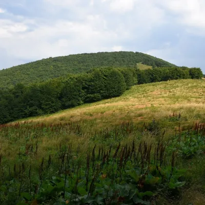 PeakCzoło (Bieszczady)Wetlinaaltitude 1 159 m1.9 km from Riaba SkałaCzoło (Slovak Čelo, also Vysoký vrch) is a wooded summit about 1,159 m high in the Western Bieszczady on the border between Poland and Slovakia; the Slovak part of...
Craft nearby
All craft places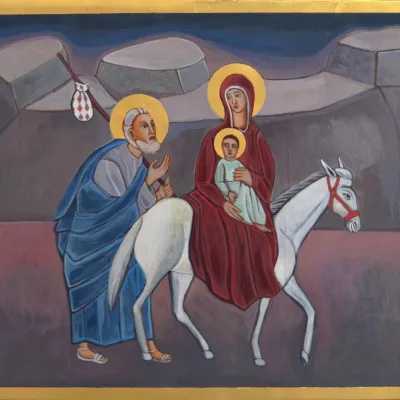 Crafts & workshopsVeraikon Icon Studio, Cisna: Carpathian icons and workshopsCisna15 km from Riaba SkałaThe Veraikon Icon Studio (Pracownia Ikon Veraikon) in Cisna is, in its owners' words, the oldest and largest icon studio in the Bieszczady.
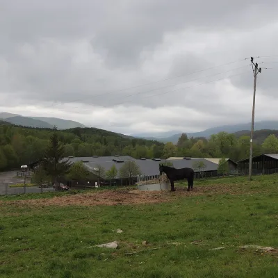 Horse ridingHucul Horse Stud in Wołosate, Bieszczady National ParkWołosate18 km from Riaba SkałaWołosate is the southernmost inhabited village in Poland, tucked away in the valley of the Wołosatka stream below Tarnica, the highest peak of the Polish Bieszczady.
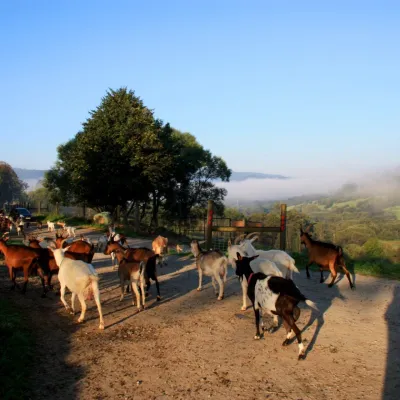 Cheese dairies & pasturesBieszczadzka Koza Goat Cheese Farm, SmolnikSmolnik22 km from Riaba SkałaBieszczadzka Koza ("the Bieszczady Goat") is a family goat farm and artisan cheese dairy in the village of Smolnik on the San, in the eastern Polish Bieszczady, right...
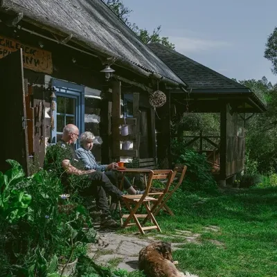 Craft producersBieszczadzkie Smaki, Smolnik: bread, liqueurs, preservesSmolnik29 km from Riaba SkałaBieszczadzkie Smaki (“Bieszczady Flavours”) is a family producer of natural foods in the village of Smolnik on the Osława river, Komańcza municipality, on the western...
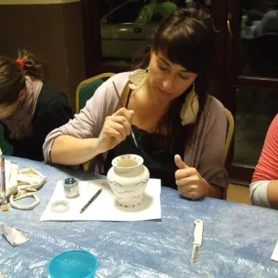 Crafts & workshopsGaleria Barak, Czarna: Bieszczady ceramics and workshopsCzarna Górna30 km from Riaba SkałaGaleria Barak in the village of Czarna near Ustrzyki Dolne is the first private art gallery in the Bieszczady, and its story deserves telling.
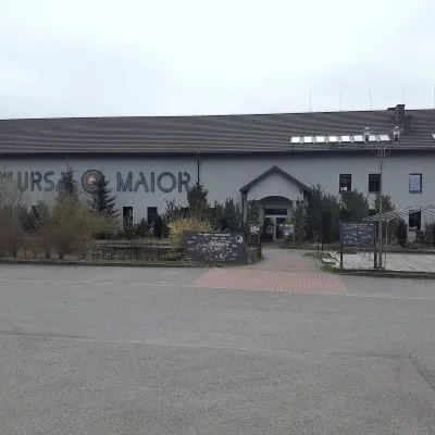 Craft beer & breweriesUrsa Maior Brewery, Uherce MineralneUherce Mineralne41 km from Riaba SkałaUrsa Maior, or the Bieszczady Brewery (Bieszczadzka Wytwórnia Piwa), is an independent craft microbrewery in the village of Uherce Mineralne, between Lesko and...
