Runina
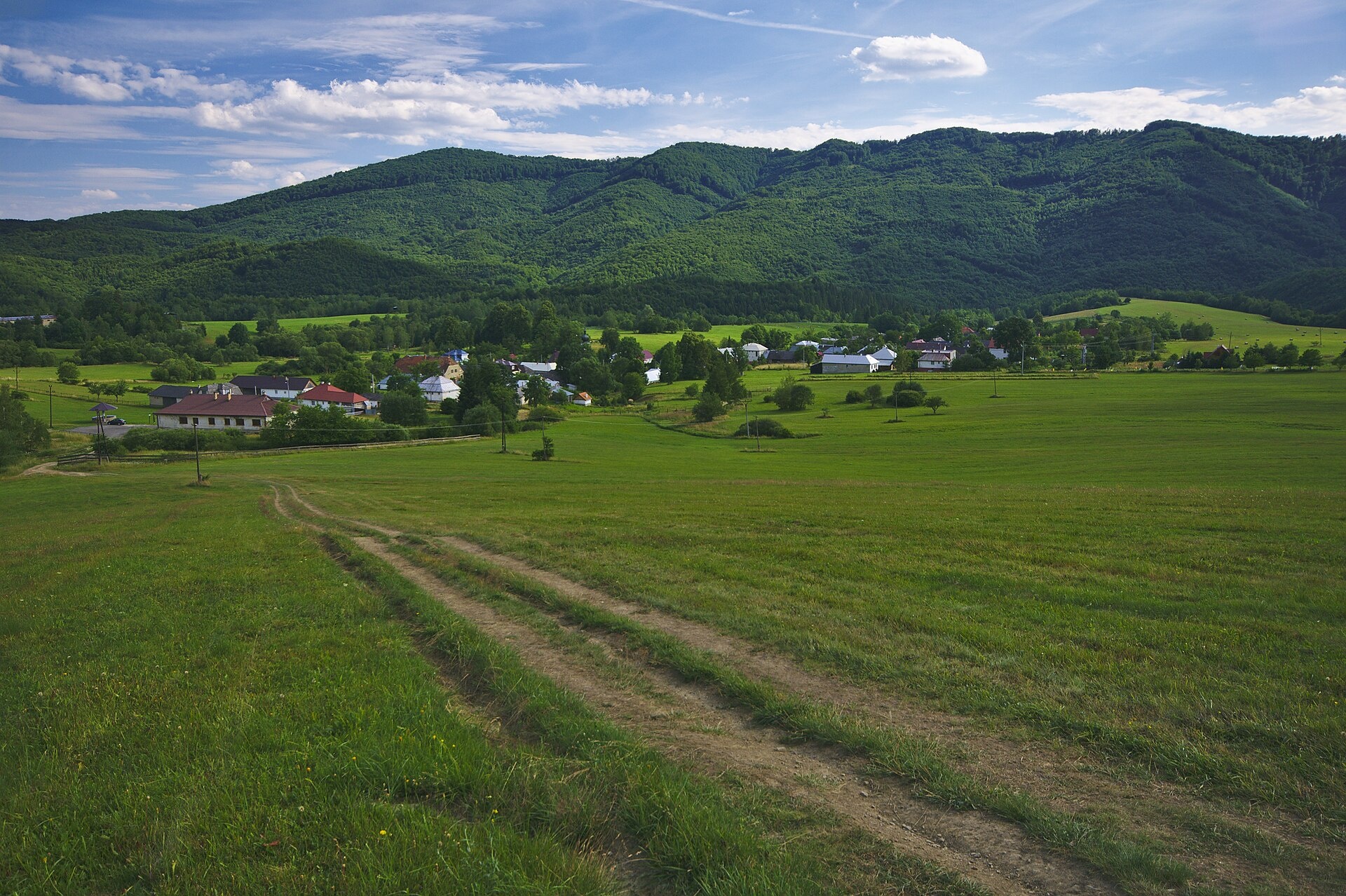
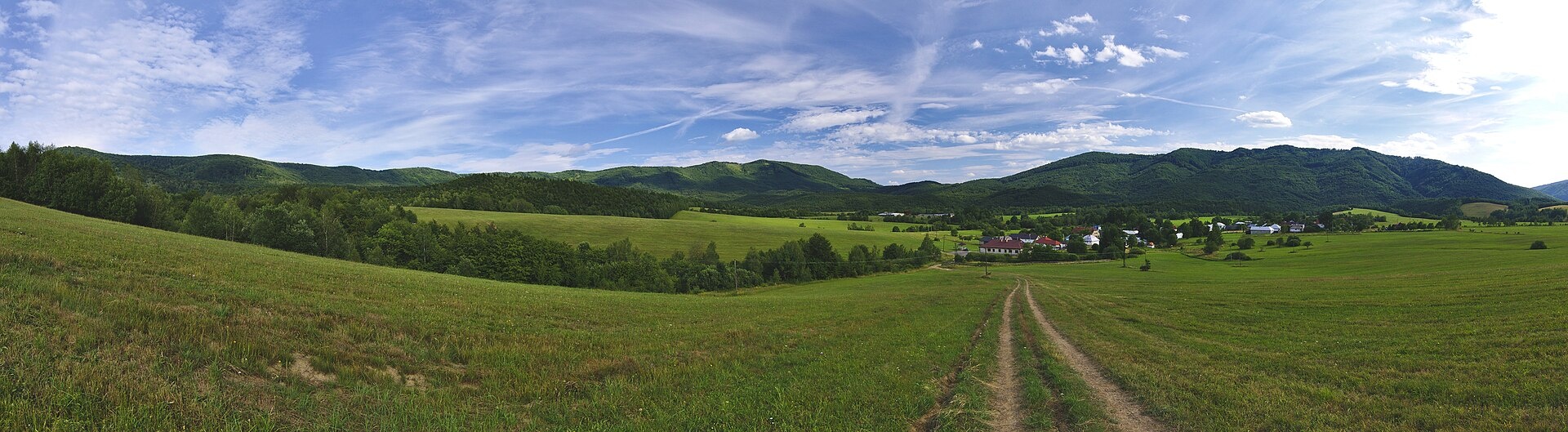
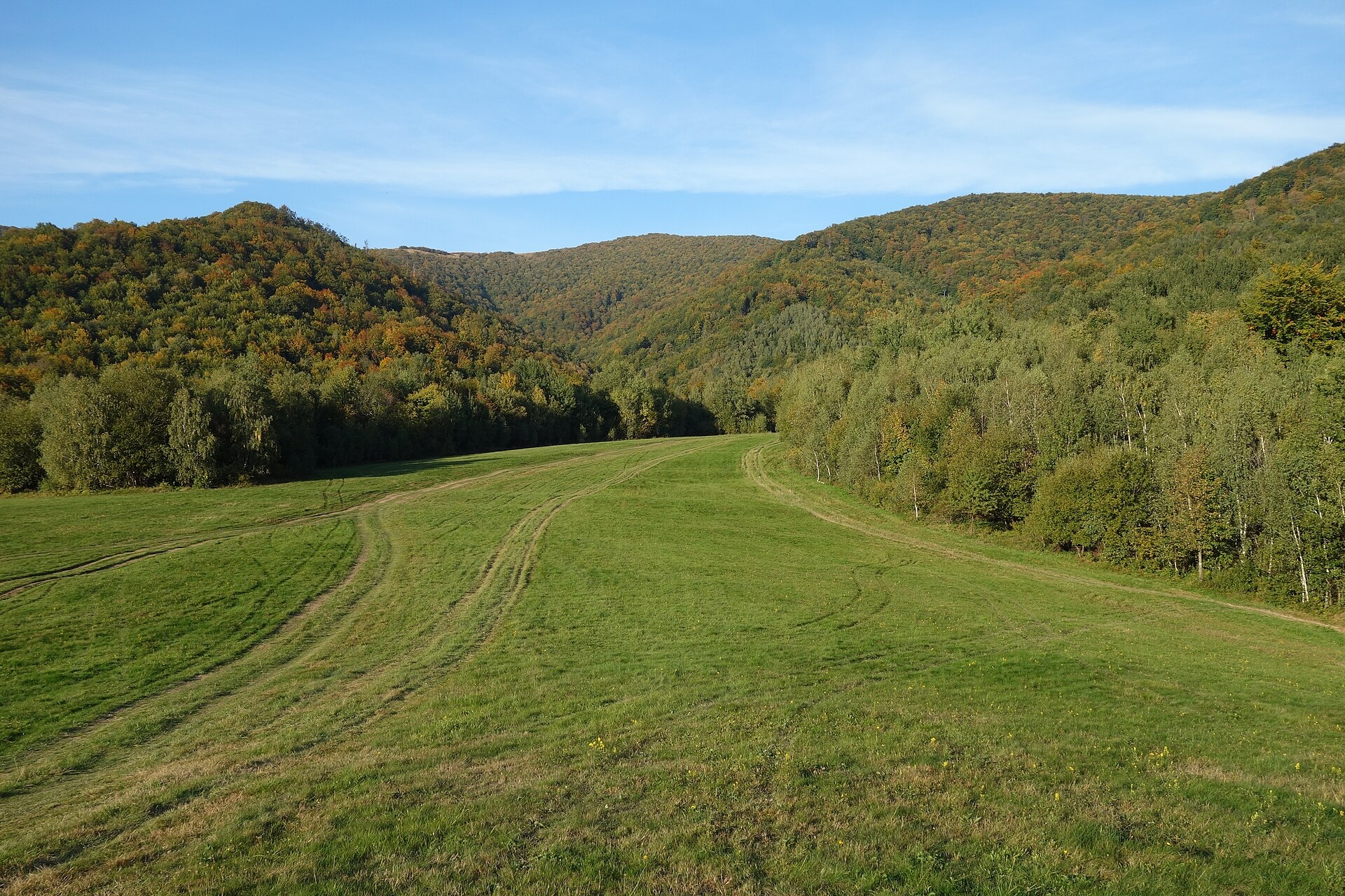
Photos: Jiří Komárek, CC BY-SA 4.0 (Wikimedia Commons); Jiří Komárek, CC BY-SA 4.0 (Wikimedia Commons); Milan Bališin, CC BY-SA 4.0 (Wikimedia Commons)
Runina is a village in Slovakia.
Elevation: about 550 m above sea level. Population: 71 (2025). Mountains nearby: Bieszczady.
Here and nearby on the site: 2 trails, 1 sight.
Facts: Wikidata, OpenStreetMap. More on Wikipedia
Trails nearby
All trails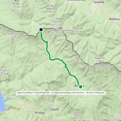 ModerateOne-dayMarkedRunina Ruské sedloElevation profile467–798 m12.2 kmascent 468 m≈ 4 h walkingunder 1 km from the centre
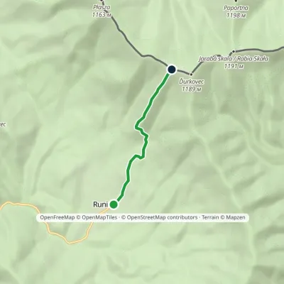 EasyOne-dayMarkedRunina Sedlo pod ĎurkovcomElevation profile551–1 132 m3.7 kmascent 581 m≈ 2 h walkingunder 1 km from the centre
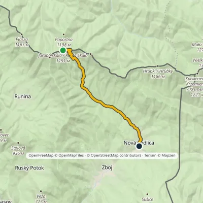 EasyOne-dayMarkedNová Sedlica WetlinaElevation profile390–1 189 m10.8 km≈ 2.5 h walking4.2 km from the centre
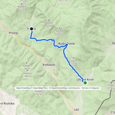 ModerateOne-dayMarkedUličské Krivé TopoľaElevation profile279–663 m12.4 kmascent 503 m≈ 4 h walking4.4 km from the centre
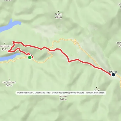 EasyOne-dayMarkedPríslop Nad Brezoveckou zátokouElevation profile381–642 m7.1 kmascent 286 m≈ 2.5 h walking6.6 km from the centre
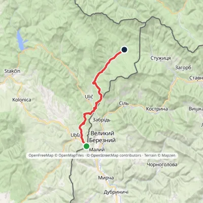 HardTwo-dayMarkedVýchodokarpatská magistrála (East Carpathian Trail)Elevation profile206–513 m25.9 kmascent 699 m≈ 8 h walking7.5 km from the centre
Peaks nearby
All peaks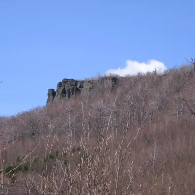
What to visit
All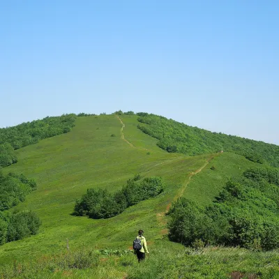 Mountain meadowĎurkovec and Pľaša meadowsRuninaaltitude 1 189 m · Gorgany range3.4 km from the centreThe Ďurkovec meadows are the finest mountain grasslands of the Slovak Poloniny: grassy slopes covering the border ridge of the Bukovské vrchy between Pľaša (1,162.8 m)...
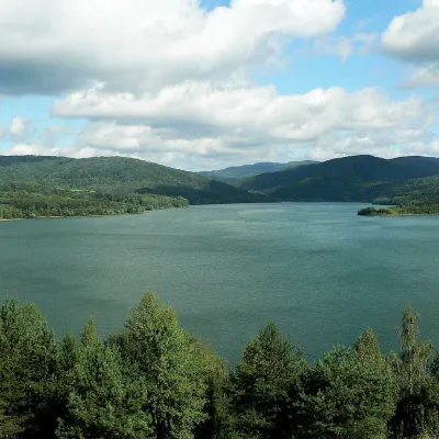 LakeStarina Reservoir in Poloniny National ParkStakčín11 km from the centreStarina is the largest drinking-water reservoir in Slovakia and, according to Slovak sources, the largest source of drinking water in Central Europe.
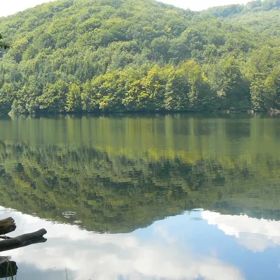 LakeMorské oko — the largest lake of the Vihorlat hillsZemplínske Hámre23 km from the centreNot to be confused with its Tatra namesake: this is Morské oko in the Vihorlat hills of eastern Slovakia, a few dozen kilometres from the Ukrainian border.
Huts, shelters and springs nearby
Getting there from Ukraine
Border crossings
- Uzhhorod – Vyšné Nemecké — road, 24/7
- Malyi Bereznyi – Ubľa — road, 24/7 For cars and buses; pedestrians not confirmed by the Ukrainian border service, lorries up to 3.5 t.
- Mali Selmentsi – Veľké Slemence (pedestrian) — pedestrian, 09:00–21:00 Kyiv time Pedestrians and cyclists only; inconvenient for the Tatras without onward transport.
- Chop – Čierna nad Tisou (rail) — rail, 24/7
By car
Lviv – Snina ≈241 km, ≈4 h 20 min without queues: H-13 via Sambir and the Uzhok Pass to Velykyi and Malyi Bereznyi → Malyi Bereznyi – Ubľa checkpoint → road 74 to Snina (≈27 km, ≈30 min from the border). From Uzhhorod: via Vyšné Nemecké (I/19 towards Sobrance, then II/566 and road 74) ≈65 km, ≈1 h 15 min; via Malyi Bereznyi – Ubľa ≈80 km, ≈1 h 40 min, but that crossing is usually less busy.
Checked 23.10.2026; border crossing hours and timetables change — check before you travel.
