Sninský kameň
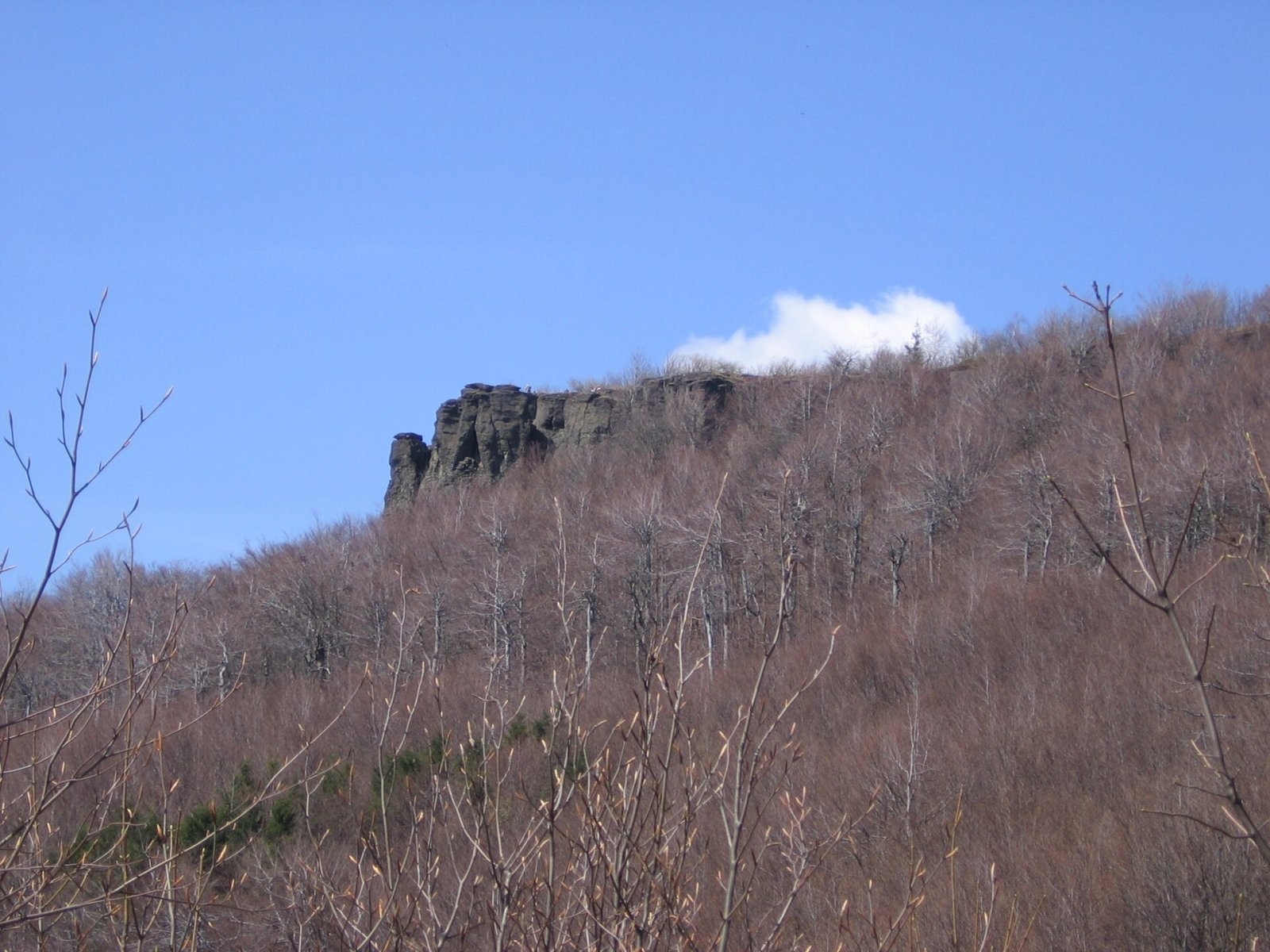
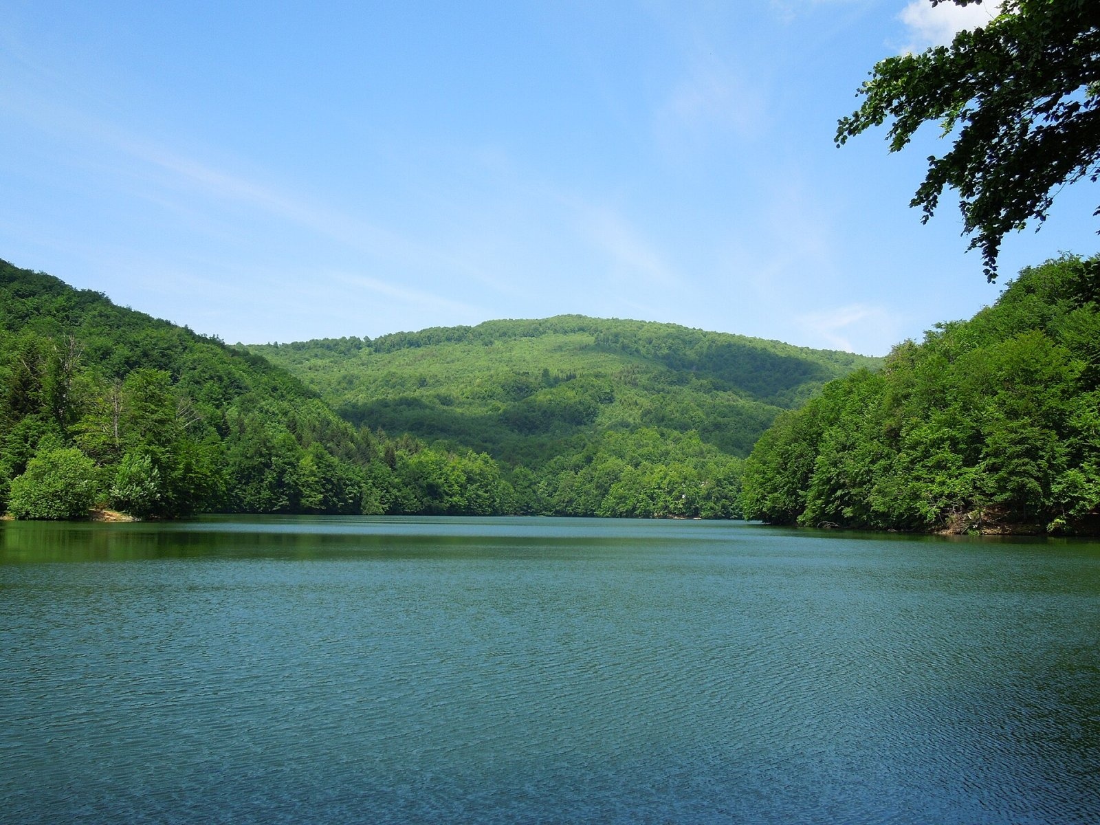
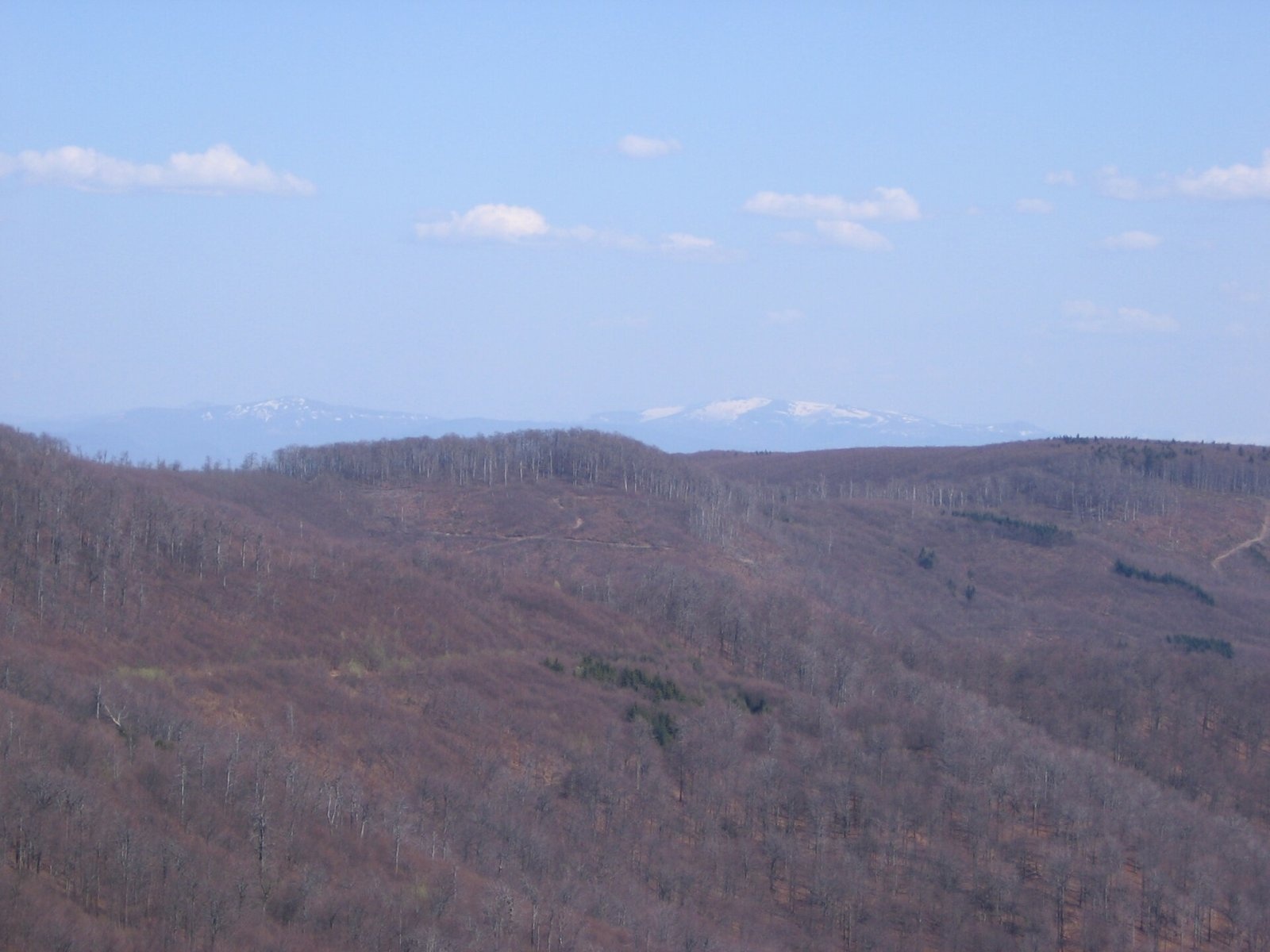
Sninský kameň is a 1006 m summit in the volcanic Vihorlat Mountains of eastern Slovakia, the lowest of the five Vihorlat "thousanders". It is the most striking landmark around Snina, rising massively south-east of the village of Zemplínske Hámre above Morské oko lake, about 7 km from Snina and 20 km east of Humenné. Despite its name, the summit lies in Humenné District of the Prešov Region, within the Valaškovce military district; the boundary with the Košice Region follows the ridge.
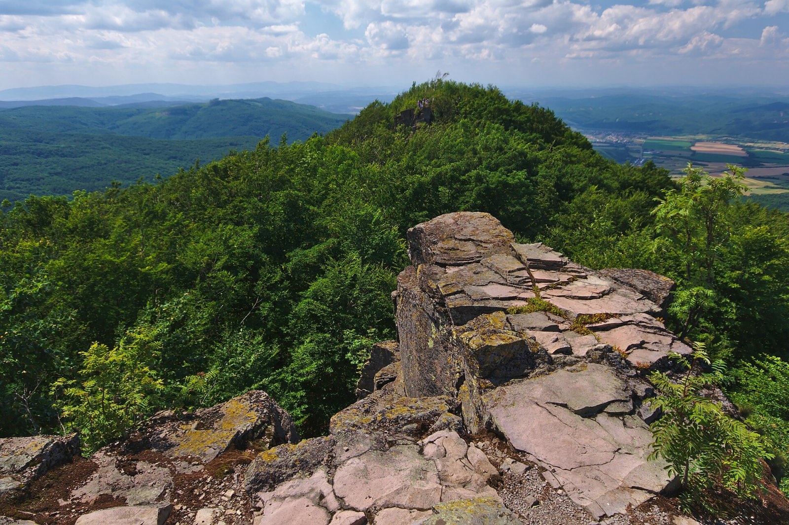
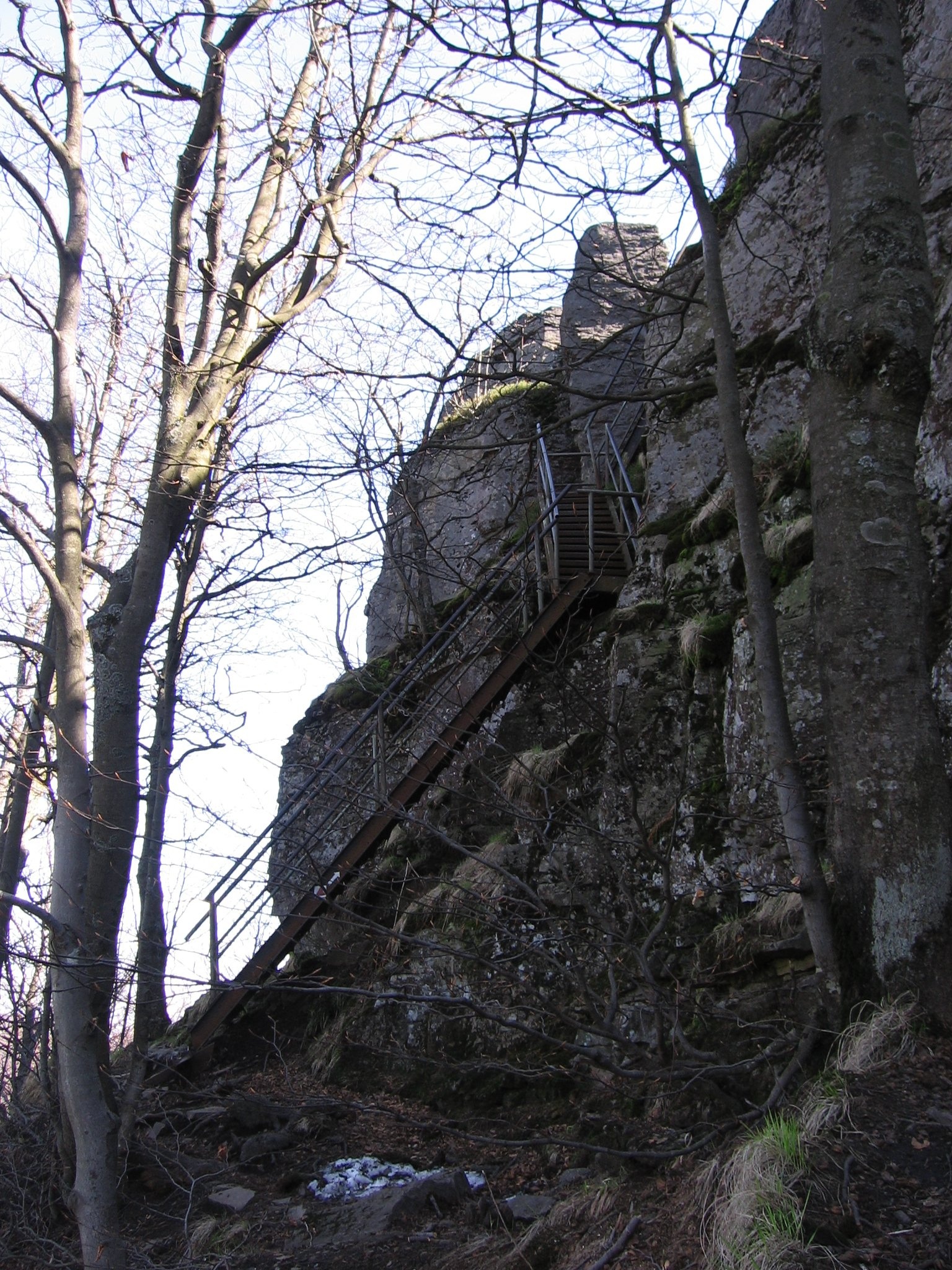
The summit is formed by two separate andesite rocks with flat tops: the smaller but higher Malý Sninský kameň (1006 m) and the larger, lower Veľký Sninský kameň (998 m). They are on average 20 m high, and the western wall, especially impressive from the Cirocha valley, reaches 40 m. Veľký kameň is about 180 m long, Malý about 70 m. Both summit platforms are reached by iron ladders. The mountain stands on the main ridge between Nežabec (1023 m) and Motrogon (1018 m).
How to get there / routes
Several routes meet at the saddle below the rocks (ascent times from Slovak sources):
- From the Krivec car park below Morské oko – blue trail via the Tri tably saddle: 1:35 h, 444 m of ascent.
- From Zemplínske Hámre – green via Rovienky: 1:50 h, 659 m, the shortest and steepest climb; or yellow to the Tri tably saddle, then red and blue: 1:45 h.
- From Snina – blue past the Snina ponds and via Rovienky: 3:40 h, 790 m.
- From Remetské Hámre – blue past Morské oko and via Tri tably: 4:05 h, 730 m.
- Along the main ridge – red trail from the Strihovské sedlo via Nežabec.
Regional buses run from Humenné to Snina, Zemplínske Hámre and Strihovce, and from Michalovce to Remetské Hámre; trains serve Humenné, Snina and Michalovce.
What you can see from the summit
Sninský kameň is one of the best viewpoints in the Vihorlat. You can see the Cirocha valley with Snina, the Vihorlat ridges, the Slovak Bukovské vrchy with Kremenec and the Starina reservoir, the Polish Bieszczady with Tarnica, the Slanské vrchy with Šimonka and the East Slovak Lowland. From Malý kameň there is a view of Morské oko and the Ukrainian Polonyny: Liutianska Holytsia, Hostra Hora, Pikui, Polonyna Runa and Polonyna Borzhava with Stii. In winter, in good visibility, even the High Tatras and Kráľova hoľa appear to the west – more than 145 km away.
Nature and history
The rocks are the remains of a lava flow that once poured from a volcano into an old valley; erosion later freed it from the softer tuffs around it. The andesite is about 12.5–9.1 million years old. Warmth-loving flora meets mountain beech-forest plants on the summit; the endemic Vihorlat sheep's fescue grows here and nowhere else, and the rare oblong woodsia and forked spleenwort grow on the walls. 43 species of lichens and 148 species of higher plants have been recorded.
The summit lies in the Vihorlat Protected Landscape Area and in the Vihorlatský prales reserve, part of the UNESCO site "Ancient and Primeval Beech Forests of the Carpathians". The first tourist shelters in Slovakia outside the High Tatras were built here in 1880, and the trail from Morské oko to the summit was marked in 1881 – it is still in use. A metal cross from 1990 stands on Veľký kameň, and a box with a summit book on Malý kameň.
Safety, season and rules
In the reserve it is forbidden to leave the trail, light fires, camp, climb the rocks or pick plants. In 2015 a badly extinguished campfire caused a fire on the summit. The ladders are slippery in bad weather and ice. There is a spring, "Pod Sninským kameňom", near the saddle. In the Slovak mountains help comes from the Mountain Rescue Service HZS: 18 300 (+421 18 300) or 112.
Interesting facts
- Every May hikers walk the whole main Vihorlat ridge (about 50 km) including Sninský kameň, and on the last day of the year people gather here for a New Year's Eve ascent.
- Vihorlat sheep's fescue grows nowhere else in the world.
Photos: PM, Public domain; Milan Bališin, CC BY-SA 4.0; Jiří Komárek, CC BY-SA 4.0; PM, Public domain; PM, Public domain — Wikimedia Commons.
Getting there from Ukraine
Border crossings
- Uzhhorod – Vyšné Nemecké — road, 24/7
- Malyi Bereznyi – Ubľa — road, 24/7 For cars and buses; pedestrians not confirmed by the Ukrainian border service, lorries up to 3.5 t.
- Mali Selmentsi – Veľké Slemence (pedestrian) — pedestrian, 09:00–21:00 Kyiv time Pedestrians and cyclists only; inconvenient for the Tatras without onward transport.
- Chop – Čierna nad Tisou (rail) — rail, 24/7
By car
Lviv – Snina ≈241 km, ≈4 h 20 min without queues: H-13 via Sambir and the Uzhok Pass to Velykyi and Malyi Bereznyi → Malyi Bereznyi – Ubľa checkpoint → road 74 to Snina (≈27 km, ≈30 min from the border). From Uzhhorod: via Vyšné Nemecké (I/19 towards Sobrance, then II/566 and road 74) ≈65 km, ≈1 h 15 min; via Malyi Bereznyi – Ubľa ≈80 km, ≈1 h 40 min, but that crossing is usually less busy.
Checked 23.10.2026; border crossing hours and timetables change — check before you travel.
Location on the map
Water and shelter nearby
- Spring under Sninský Kameň160 m · Not verified · 947 m
- Spring below Sninský kameň (north slope), 935 m190 m · Not verified · 935 m
- Spring below Tri tably Pass1.1 km · Not verified · 782 m
- Romancova studnička Spring1.2 km · Not verified · 761 m
- Morské oko Shelter1.4 km · Standing · 626 m
- Spring below Sninský kameň (north slope), 539 m1.5 km · Not verified · 539 m
- Spring below Jedlinky2.2 km · Not verified · 636 m
Comments
Trails nearby
All trails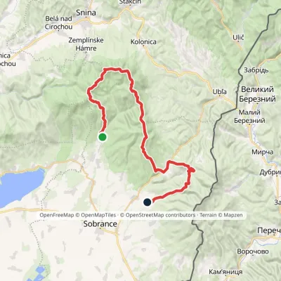 HardMulti-dayMarkedRemetské Hámre KoňušElevation profile272–1 023 m47.5 kmascent 2 062 munder 1 km from Sninský kameň
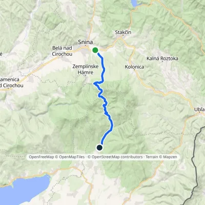 ModerateTwo-dayMarkedRemetské Hámre Snina, stationElevation profile224–1 006 m21.2 kmascent 781 m≈ 7 h walkingunder 1 km from Sninský kameň
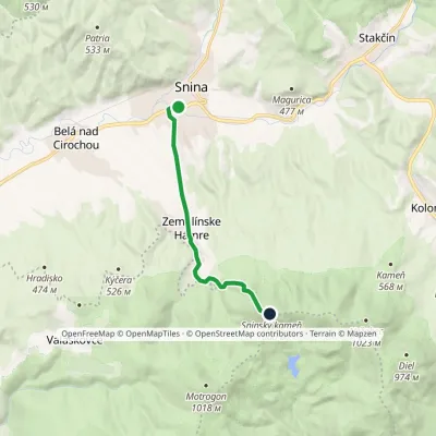 ModerateOne-dayMarkedSnina Sninský kameňElevation profile215–1 006 m8.9 kmascent 806 m≈ 4 h walkingunder 1 km from Sninský kameň
Nearby attractions
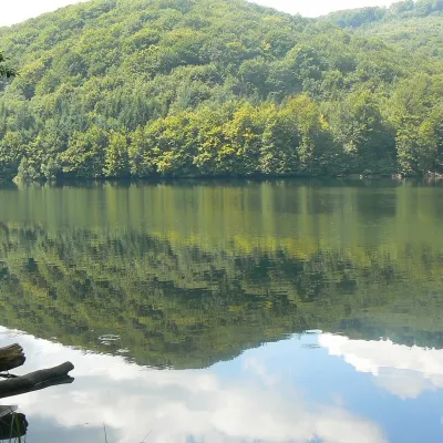 LakeMorské oko — the largest lake of the Vihorlat hillsZemplínske Hámre1.7 km from Sninský kameňNot to be confused with its Tatra namesake: this is Morské oko in the Vihorlat hills of eastern Slovakia, a few dozen kilometres from the Ukrainian border.
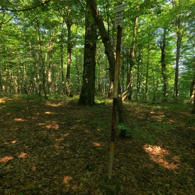 PeakMotrogonValaškovcealtitude 1 018 m · Volcanic Carpathians range3 km from Sninský kameňMotrogon is a 1,018 m summit in the Vihorlat Mountains of eastern Slovakia — according to Polish sources the fourth highest in the Vihorlat.
Craft nearby
All craft places Water parks & thermal poolsThermalpark Šírava in Kaluža, Zemplínska ŠíravaKaluža20 km from Sninský kameňThermalpark Šírava (Thermalpark ŠÍRAVA) stands in the village of Kaluža on the northern shore of the Zemplínska Šírava — a large reservoir in eastern Slovakia.
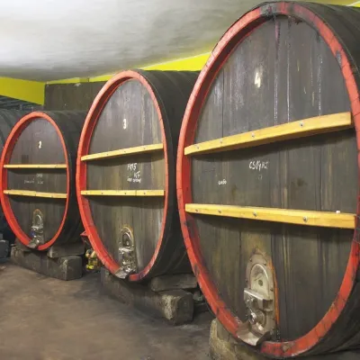 Wine & tastingsPivnica Orechová below Vihorlat: tastings in a deep wine cellarOrechová26 km from Sninský kameňVihorlat is a volcanic range in eastern Slovakia, best known for the Morské oko lake and its beech primeval forests.
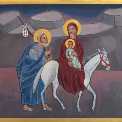 Crafts & workshopsVeraikon Icon Studio, Cisna: Carpathian icons and workshopsCisna33 km from Sninský kameňThe Veraikon Icon Studio (Pracownia Ikon Veraikon) in Cisna is, in its owners' words, the oldest and largest icon studio in the Bieszczady.
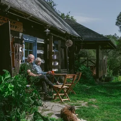 Craft producersBieszczadzkie Smaki, Smolnik: bread, liqueurs, preservesSmolnik37 km from Sninský kameňBieszczadzkie Smaki (“Bieszczady Flavours”) is a family producer of natural foods in the village of Smolnik on the Osława river, Komańcza municipality, on the western...
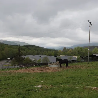 Horse ridingHucul Horse Stud in Wołosate, Bieszczady National ParkWołosate39 km from Sninský kameňWołosate is the southernmost inhabited village in Poland, tucked away in the valley of the Wołosatka stream below Tarnica, the highest peak of the Polish Bieszczady.
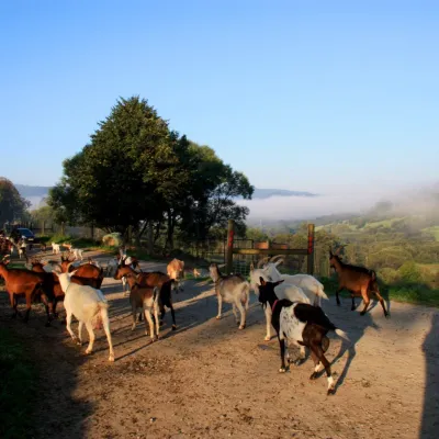 Cheese dairies & pasturesBieszczadzka Koza Goat Cheese Farm, SmolnikSmolnik48 km from Sninský kameňBieszczadzka Koza ("the Bieszczady Goat") is a family goat farm and artisan cheese dairy in the village of Smolnik on the San, in the eastern Polish Bieszczady, right...
