Motrogon
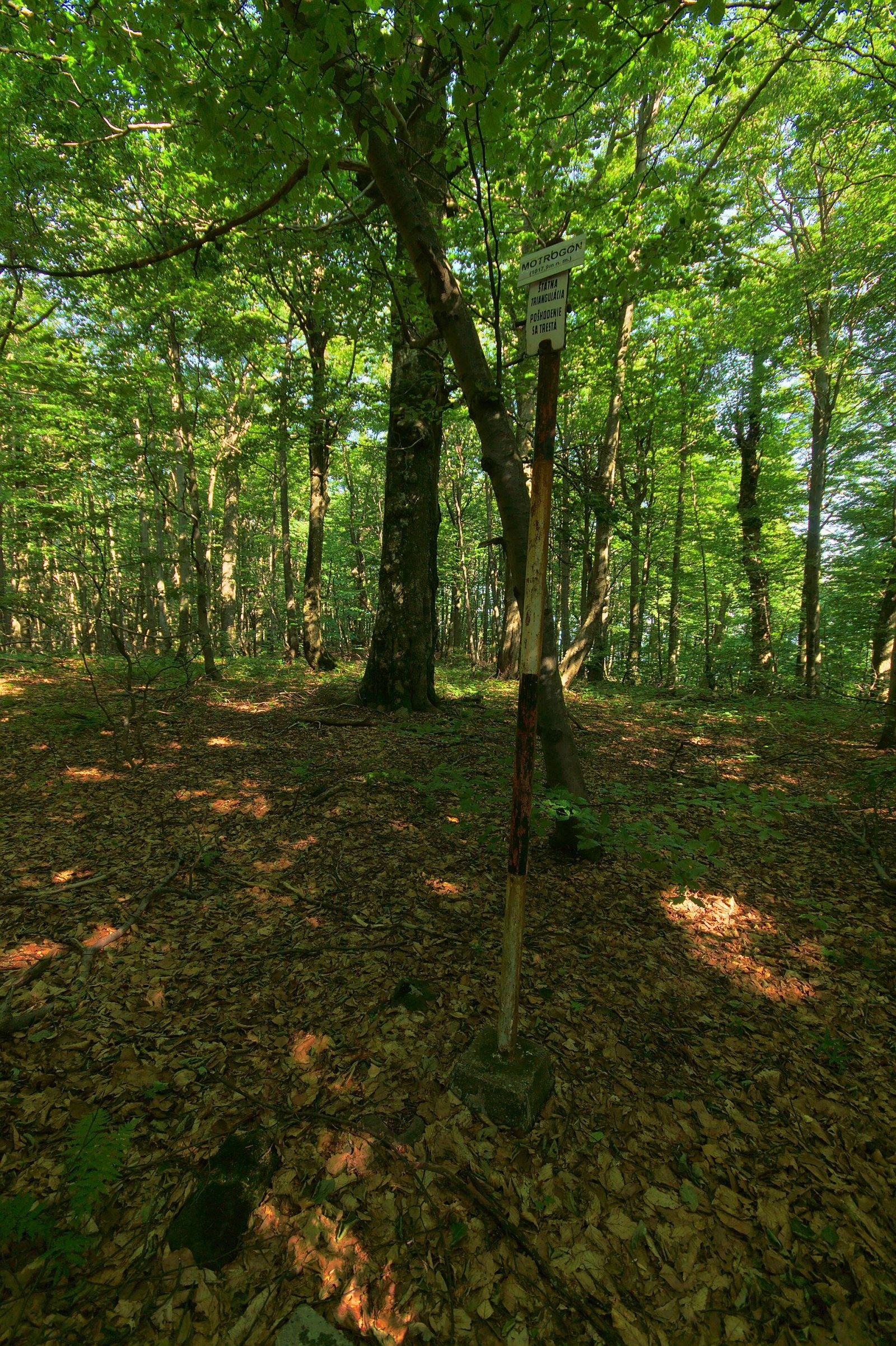
Motrogon is a 1,018 m summit in the Vihorlat Mountains of eastern Slovakia — according to Polish sources the fourth highest in the Vihorlat. It lies in the central part of the main ridge, about 4.5 km south of the village of Zemplínske Hámre and 8 km south of the town of Snina. Its ridge neighbours are Sninský kameň (1,006 m) to the north-east, separated by the Tri tably and Jedlinka saddles, and Tŕstie (951 m) to the south beyond the Rozdiel saddle (about 875 m); to the west rises the highest peak, Vihorlat (1,076 m). The mountain belongs to the Valaškovce cadastre in the Humenné District and lies within a military district, so it is formally closed to hikers.
How to get there / routes
No marked trail leads to the summit. The red Vihorlat ridge trail bypasses it on the south-eastern slope because of the military-area boundary and the nature reserves. You can follow it from the south from the village of Remetské Hámre via the Rozdiel saddle, or from the north-east from Sninský kameň via the Tri tably saddle. The full ridge route runs from Remetské Hámre past Motrogon, Sninský kameň, Nežabec and Fedkov to the village of Podhoroď. Leaving the trail for the summit is not advisable: it is both a protected area and a military zone.
What you can see from the summit
The summit is covered by continuous forest, so there is no view from it. From open spots nearby, above all the rocks of neighbouring Sninský kameň, you can see other Vihorlat peaks and occasionally the Bukovské and Slanské vrchy and the East Slovak Lowland.
Nature and history
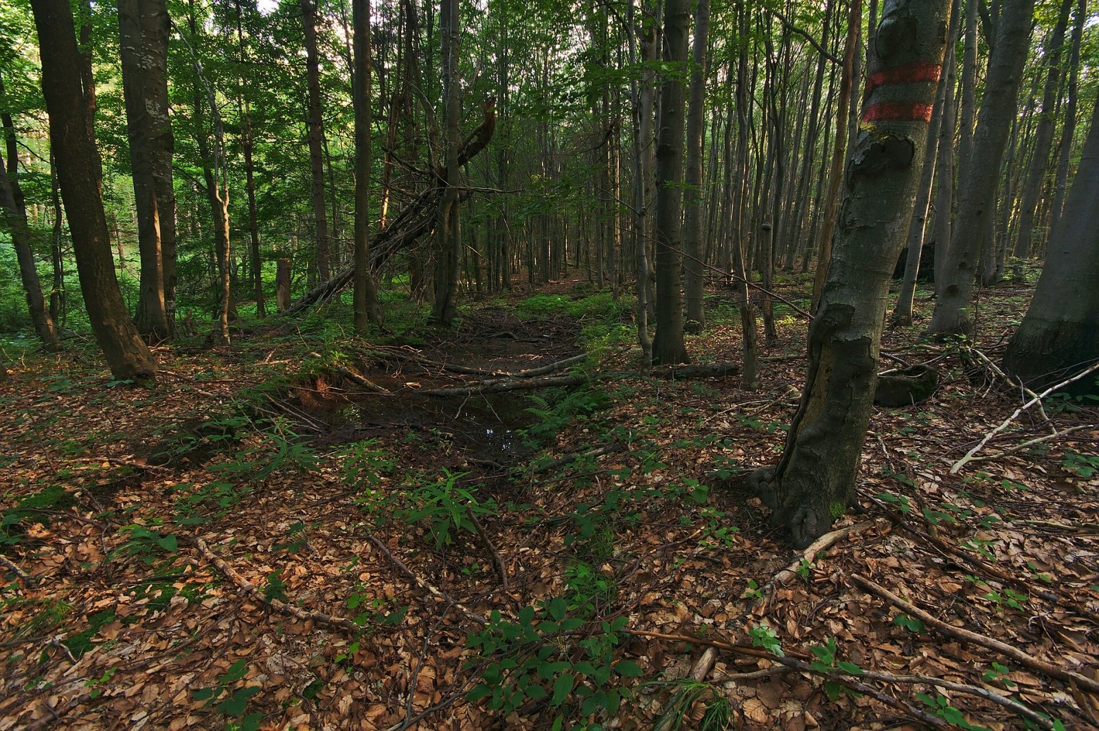
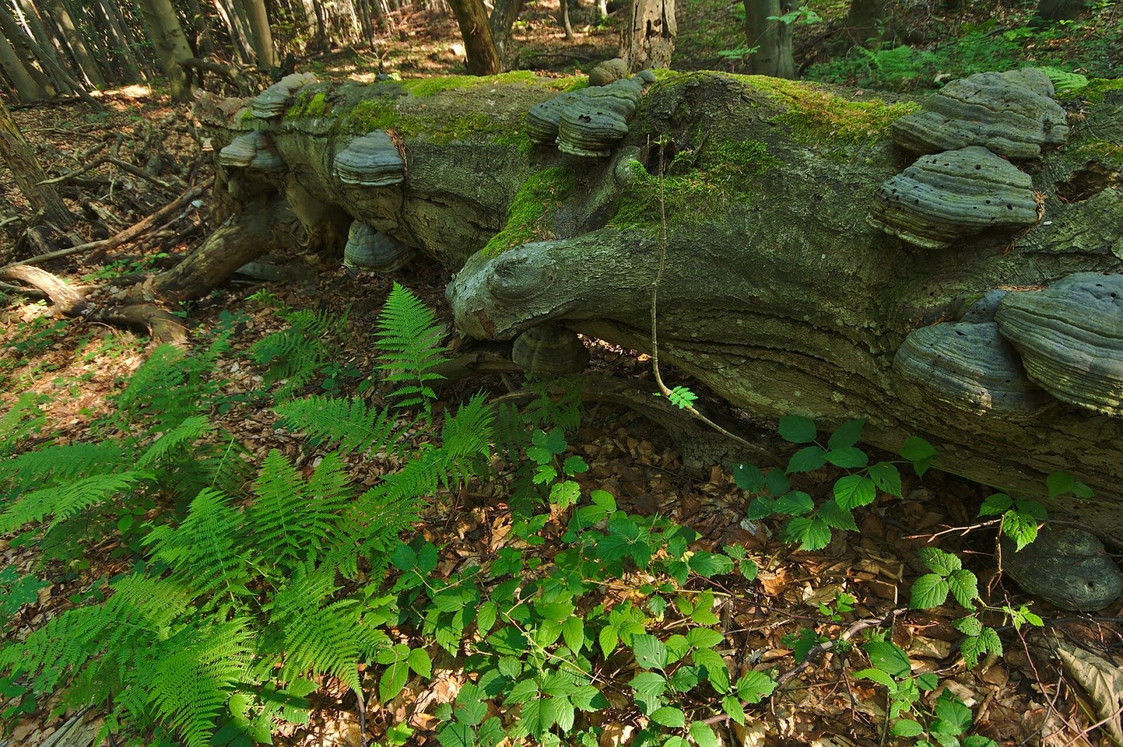
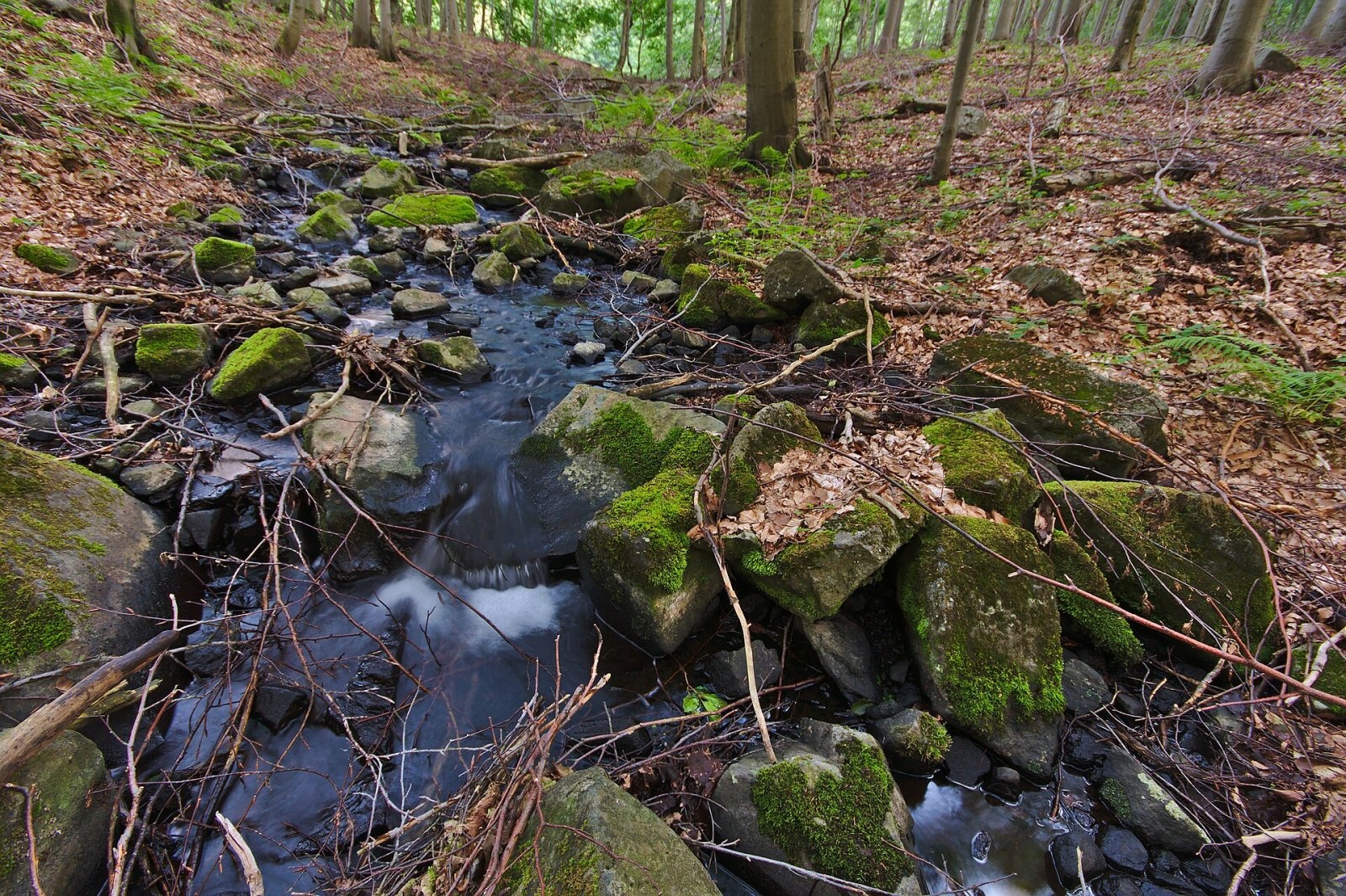
Unlike the other high Vihorlat peaks, Motrogon has a broad and completely flat top. The northern and north-eastern slopes of the summit dome are very steep and stony with many scree fields, while the rest are much gentler and little dissected. The whole mountain is forested: old beech–sycamore woods prevail, with lime–sycamore slope forests on the steep north side. The south-eastern part of the ridge drains via tributaries of the Okna into the Uh, the northern slopes via the Barnov brook into the Ciroch, and the western slopes via the Kamenica brook.
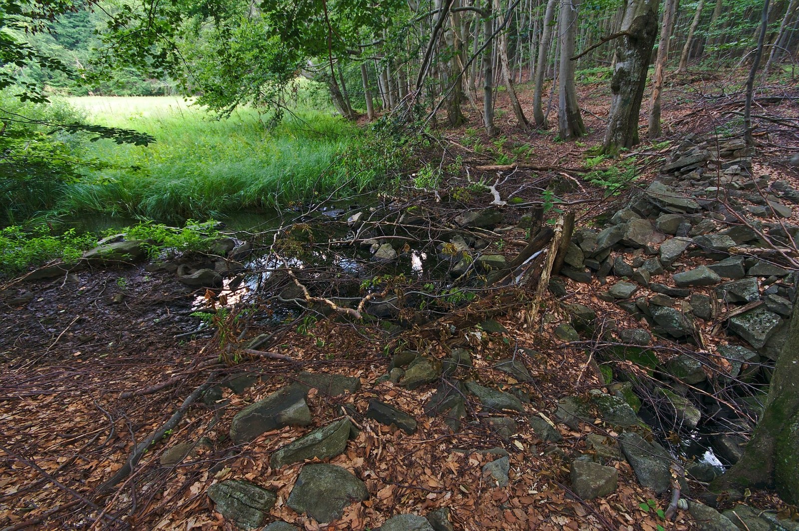
On broad flat terraces at the foot of the northern slopes lie wet meadows and peat bogs, including the Hypkaňa bog, and the small Kotlík lake, created by a landslide; an artificial channel was once dug from the bog to the lake. These sites were protected by the Motrogon, Postávka and Ďurova mláka reserves, and the south-eastern slopes by the Baba pod Vihorlatom reserve. According to Czech sources, in 2020 the Motrogon and Baba pod Vihorlatom reserves were merged into the Vihorlatský prales nature reserve. The whole area belongs to the Vihorlat Protected Landscape Area.
Safety, season and rules
Stay on the marked red trail: the summit slopes lie in a reserve and a military district where off-trail movement is prohibited. The ridge is wooded and hard to navigate in fog, and in winter the snow is deep. Before setting out, check whether any restrictions linked to military exercises apply. Slovak Mountain Rescue (HZS): 18 300 (+421 18 300); emergency number 112.
Interesting facts
- Among the high Vihorlat peaks, Motrogon stands out for its completely flat, broad top.
- The red ridge trail deliberately avoids the summit because of the reserves and the military zone.
Photos: Jiří Komárek, CC BY-SA 4.0; Jiří Komárek, CC BY-SA 4.0; Jiří Komárek, CC BY-SA 4.0; Jiří Komárek, CC BY-SA 4.0; Jiří Komárek, CC BY-SA 4.0; Milan Bališin, CC BY-SA 4.0; Milan Bališin, CC BY-SA 4.0 — Wikimedia Commons.
Getting there from Ukraine
Border crossings
- Uzhhorod – Vyšné Nemecké — road, 24/7
- Malyi Bereznyi – Ubľa — road, 24/7 For cars and buses; pedestrians not confirmed by the Ukrainian border service, lorries up to 3.5 t.
- Mali Selmentsi – Veľké Slemence (pedestrian) — pedestrian, 09:00–21:00 Kyiv time Pedestrians and cyclists only; inconvenient for the Tatras without onward transport.
- Chop – Čierna nad Tisou (rail) — rail, 24/7
By car
Lviv – Snina ≈241 km, ≈4 h 20 min without queues: H-13 via Sambir and the Uzhok Pass to Velykyi and Malyi Bereznyi → Malyi Bereznyi – Ubľa checkpoint → road 74 to Snina (≈27 km, ≈30 min from the border). From Uzhhorod: via Vyšné Nemecké (I/19 towards Sobrance, then II/566 and road 74) ≈65 km, ≈1 h 15 min; via Malyi Bereznyi – Ubľa ≈80 km, ≈1 h 40 min, but that crossing is usually less busy.
Checked 23.10.2026; border crossing hours and timetables change — check before you travel.
Location on the map
Water and shelter nearby
- Spring below Tŕstie (east slope)1.5 km · Not verified · 864 m
- Líška1.7 km · Not verified · 812 m
- Spring below Tri tably Pass1.8 km · Not verified · 782 m
- Trestiov Spring1.8 km · Not verified · 847 m
- Romancova studnička Spring2.1 km · Not verified · 761 m
- Spring below Jedlinky2.7 km · Not verified · 636 m
- Morské oko Shelter2.8 km · Standing · 626 m
- Horec Spring2.8 km · Not verified · 909 m
- Studnička Zvorík otočka Spring2.9 km · Not verified · 707 m
- Zvorík Spring2.9 km · Not verified · 866 m
Comments
Trails nearby
All trails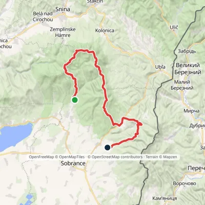 HardMulti-dayMarkedRemetské Hámre KoňušElevation profile272–1 023 m47.5 kmascent 2 062 munder 1 km from Motrogon
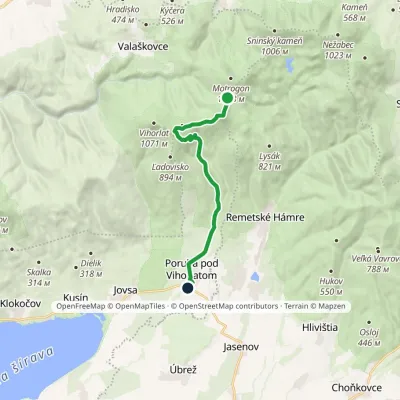 ModerateOne-dayMarkedPoruba pod Vihorlatom Sedlo RozdielElevation profile192–974 m13.2 kmascent 174 m≈ 3.5 h walkingunder 1 km from Motrogon
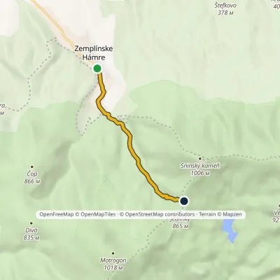 EasyOne-dayMarkedZemplínske Hámre Tri tablyElevation profile362–831 m4.3 kmascent 469 m≈ 2 h walking1.7 km from Motrogon
Nearby attractions
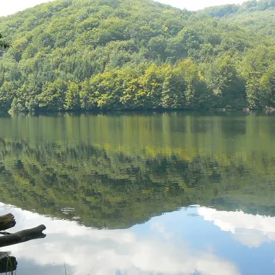 LakeMorské oko — the largest lake of the Vihorlat hillsZemplínske Hámre2.8 km from MotrogonNot to be confused with its Tatra namesake: this is Morské oko in the Vihorlat hills of eastern Slovakia, a few dozen kilometres from the Ukrainian border.
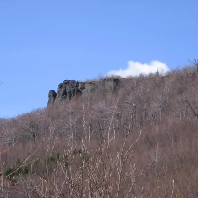 PeakSninský kameňValaškovcealtitude 1 006 m · Volcanic Carpathians range3 km from MotrogonSninský kameň is a 1006 m summit in the volcanic Vihorlat Mountains of eastern Slovakia, the lowest of the five Vihorlat "thousanders".
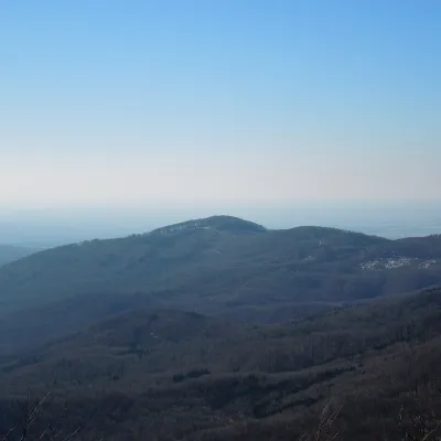 PeakLysákRemetské Hámrealtitude 821 m · Volcanic Carpathians range3.6 km from MotrogonLysák (formerly Lysá) is a summit 821 m high in the Vihorlat Mountains of eastern Slovakia, in the Vihorlat subunit.
Craft nearby
All craft places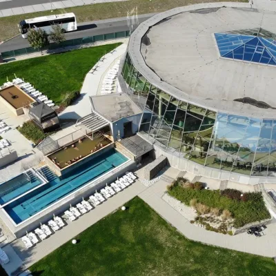 Water parks & thermal poolsThermalpark Šírava in Kaluža, Zemplínska ŠíravaKaluža17 km from MotrogonThermalpark Šírava (Thermalpark ŠÍRAVA) stands in the village of Kaluža on the northern shore of the Zemplínska Šírava — a large reservoir in eastern Slovakia.
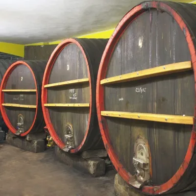 Wine & tastingsPivnica Orechová below Vihorlat: tastings in a deep wine cellarOrechová24 km from MotrogonVihorlat is a volcanic range in eastern Slovakia, best known for the Morské oko lake and its beech primeval forests.
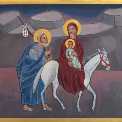 Crafts & workshopsVeraikon Icon Studio, Cisna: Carpathian icons and workshopsCisna36 km from MotrogonThe Veraikon Icon Studio (Pracownia Ikon Veraikon) in Cisna is, in its owners' words, the oldest and largest icon studio in the Bieszczady.
