Lysák
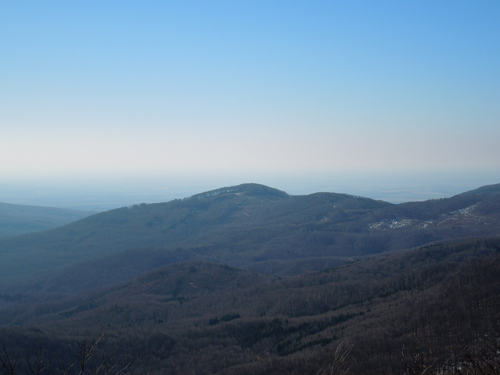
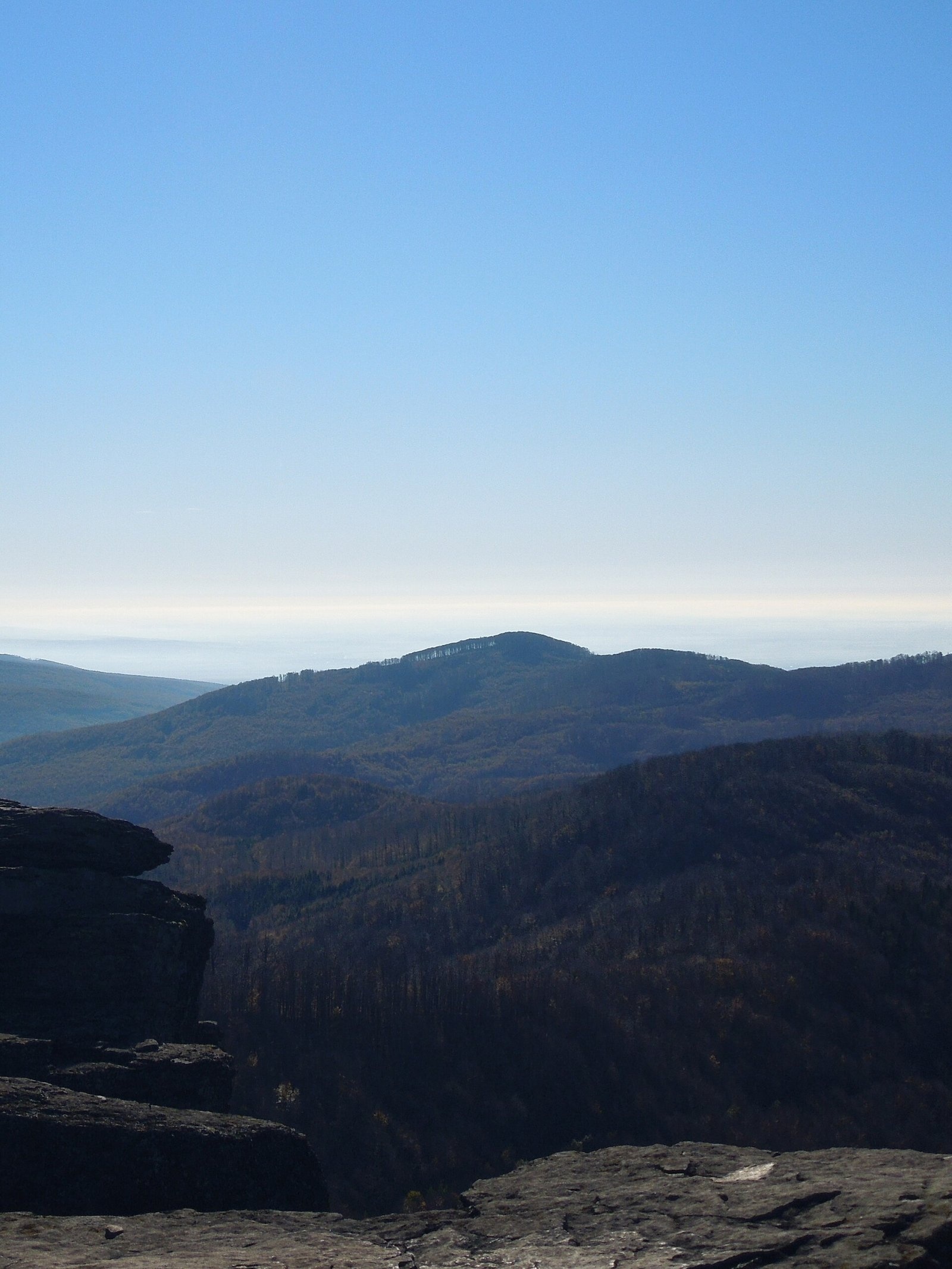
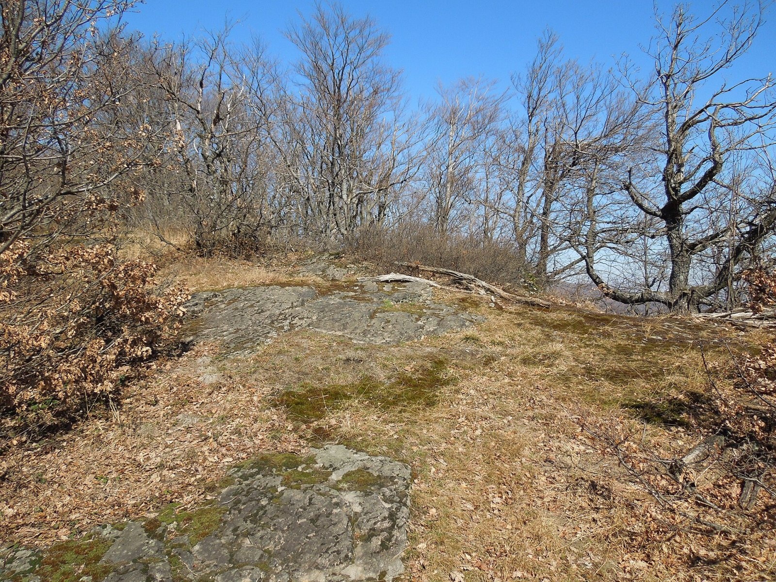
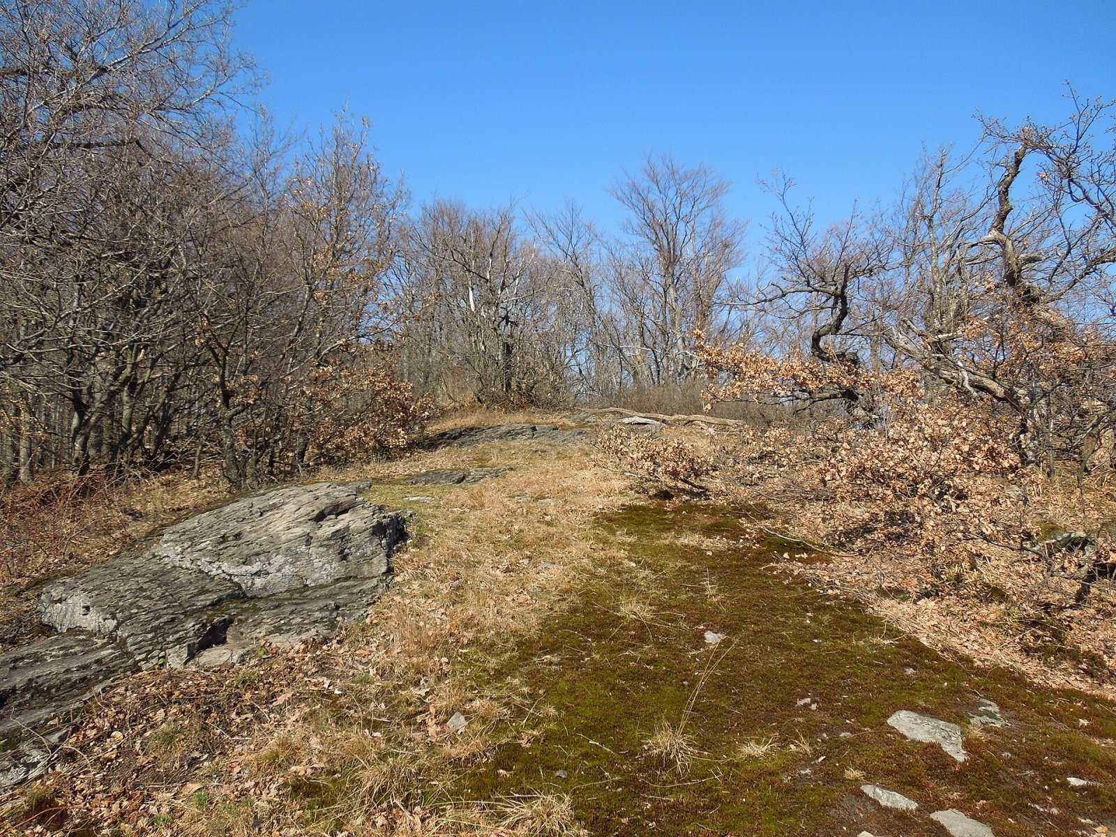
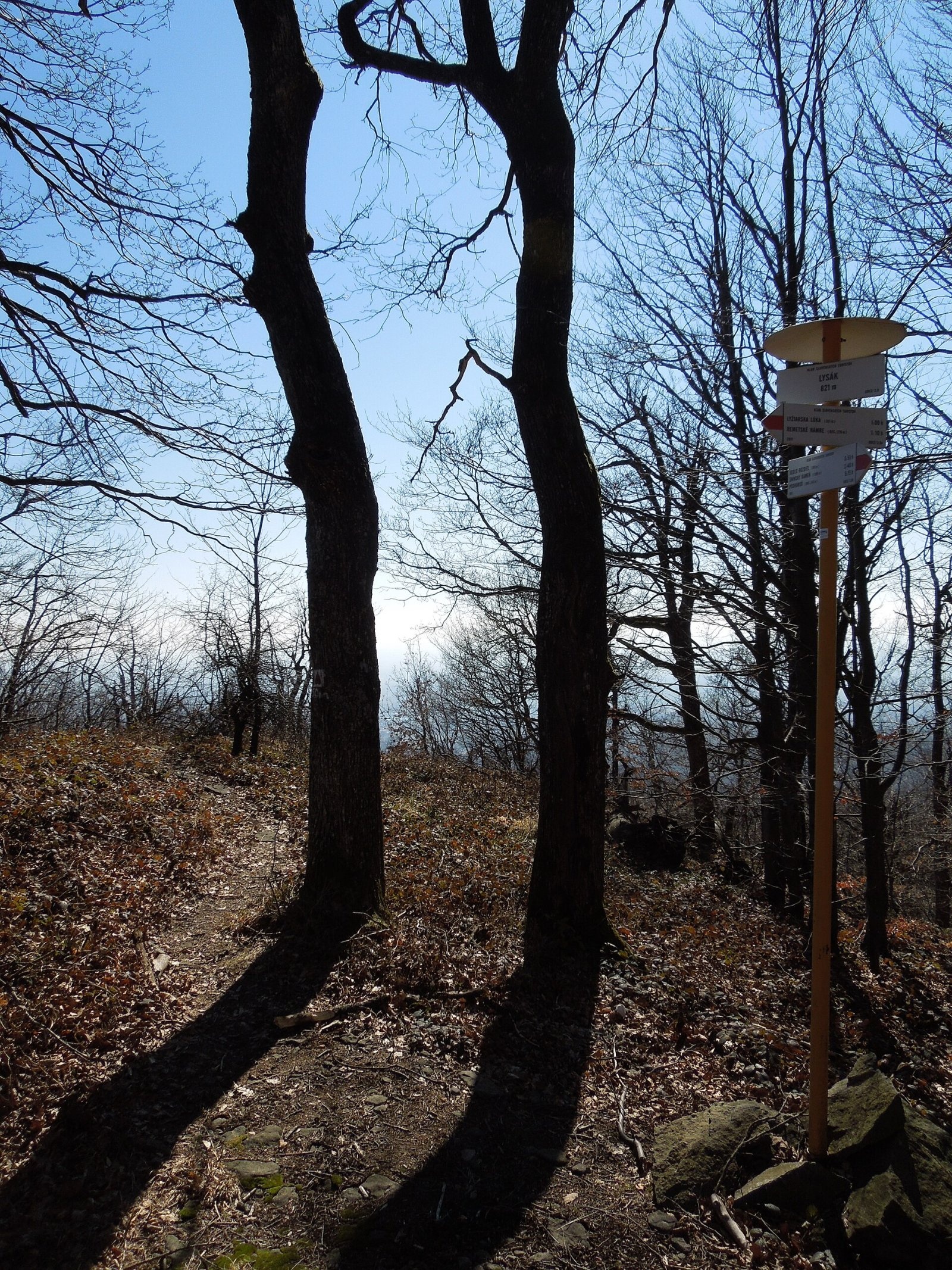
Lysák (formerly Lysá) is a summit 821 m high in the Vihorlat Mountains of eastern Slovakia, in the Vihorlat subunit. It rises above the village of Remetské Hámre (about 3.5 km away), roughly 14 km north of the town of Sobrance, in the Košice Region. Lysák sits on a side spur running south-east from Tŕstie (951 m) on the main ridge of the Vihorlat Mountains. It is the first notable summit reached by the main Vihorlat ridge trail from the south, so for many hikers the walk to Sninský kameň begins here. The whole area belongs to the Vihorlat Protected Landscape Area (CHKO).
Getting there / routes
The main red Vihorlat ridge trail crosses Lysák: Remetské Hámre – Lysák – sedlo Rozdiel (815 m) – sedlo Tri tably (825 m) – Sninský kameň (1006 m) – Nežabec (1023 m) – Strihovské sedlo (644 m) – Podhoroď.
- Red from the south from Remetské Hámre: about 1 h 35 min up (1 h 10 min down), height gain 545 m. There is a small spring by the path below the summit.
- Red from the north from sedlo Tri tably via sedlo Rozdiel; another marked trail leads from Zemplínske Hámre to Tri tably, the whole way taking about 4 h (3 h 20 min down).
Lysák combines well with a climb to Sninský kameň, the best-known rock of the Vihorlat, from which Lysák itself is clearly seen.
What you can see from the summit
The summit is wooded, so there is no all-round panorama. From the rock outcrops at the edge of the plateau, however, there is a view south to the Zemplínska šírava reservoir and the East Slovak Lowland, as well as to the surrounding Vihorlat peaks, including Sninský kameň.
Nature and history
The summit area is a rocky plateau occupied by the Lysák nature reserve, declared in 1993 on 4.28 ha with the highest, fifth degree of protection. It protects rare thermophilous woodland — beech-oak forests with Hungarian oak (Quercus frainetto) and Dalechamps oak. The mountain also lies within the Morské oko site of European importance in the Natura 2000 network. In the past there was heavy logging around the summit, still recalled by large clearings.
Neighbouring summits are Tŕstie (951 m) to the north, Múr (833 m) and Ľadovisko (894 m) to the west, and further on Vihorlat itself (1076 m), the highest peak of this part of the range. The southern slopes fall towards the valley with the villages of Remetské Hámre, Poruba pod Vihorlatom and Jovsa.
Safety, season and rules
The route is easy but runs through lonely forest: take water, a map and a charged phone. On the rocky plateau keep away from the drops, especially in fog and ice. In winter the path may be snowed over. In the Vihorlat CHKO stay on marked trails, make no fires and respect the quiet of the reserve. Slovak Mountain Rescue Service (HZS): 18 300 (+421 18 300), general emergency number 112.
Photos: Milan Bališin, CC BY-SA 4.0; Milan Bališin, CC BY-SA 4.0; Milan Bališin, CC BY-SA 4.0; Milan Bališin, CC BY-SA 4.0; Milan Bališin, CC BY-SA 4.0; Milan Bališin, CC BY-SA 4.0 — Wikimedia Commons.
Getting there from Ukraine
Border crossings
- Uzhhorod – Vyšné Nemecké — road, 24/7
- Malyi Bereznyi – Ubľa — road, 24/7 For cars and buses; pedestrians not confirmed by the Ukrainian border service, lorries up to 3.5 t.
- Mali Selmentsi – Veľké Slemence (pedestrian) — pedestrian, 09:00–21:00 Kyiv time Pedestrians and cyclists only; inconvenient for the Tatras without onward transport.
- Chop – Čierna nad Tisou (rail) — rail, 24/7
By car
Lviv – Snina ≈241 km, ≈4 h 20 min without queues: H-13 via Sambir and the Uzhok Pass to Velykyi and Malyi Bereznyi → Malyi Bereznyi – Ubľa checkpoint → road 74 to Snina (≈27 km, ≈30 min from the border). From Uzhhorod: via Vyšné Nemecké (I/19 towards Sobrance, then II/566 and road 74) ≈65 km, ≈1 h 15 min; via Malyi Bereznyi – Ubľa ≈80 km, ≈1 h 40 min, but that crossing is usually less busy.
Checked 23.10.2026; border crossing hours and timetables change — check before you travel.
Location on the map
Water and shelter nearby
- Voľa Spring370 m · Not verified · 745 m
- Voľa Hut480 m · Not verified · 763 m
- Krčma u Zdena Spring620 m · Not verified · 703 m
- Hut below Príkra1.1 km · Not verified · 539 m
- Pavol Spring1.1 km · Not verified · 541 m
- Richard Spring1.4 km · Not verified · 446 m
- Spring below Sivá skala (south-east slope), 462 m1.6 km · Not verified · 462 m
- Janka Spring, 433 m1.8 km · Not verified · 433 m
- Mountain hut below Príkra2 km · Standing · 471 m
- Spring below Tŕstie (east slope)2.3 km · Not verified · 864 m
- Spring below Príkra2.5 km · Not verified · 344 m
- Telekia Spring2.6 km · Not verified · 346 m
- Karol Spring2.6 km · Not verified · 425 m
- Jankova studnička Spring2.7 km · Not verified · 445 m
Comments
Trails nearby
All trails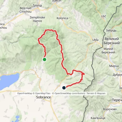 HardMulti-dayMarkedRemetské Hámre KoňušElevation profile272–1 023 m47.5 kmascent 2 062 munder 1 km from Lysák
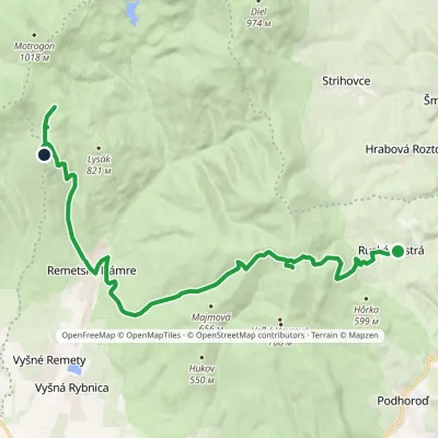 ModerateTwo-dayMarkedRemetské Hámre Ruská BystráElevation profile294–843 m19.2 kmascent 1 009 m≈ 7 h walkingunder 1 km from Lysák
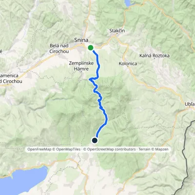 ModerateTwo-dayMarkedRemetské Hámre Snina, stationElevation profile224–1 006 m21.2 kmascent 781 m≈ 7 h walking1.6 km from Lysák
Nearby attractions
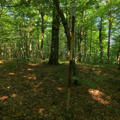 PeakMotrogonValaškovcealtitude 1 018 m · Volcanic Carpathians range3.6 km from LysákMotrogon is a 1,018 m summit in the Vihorlat Mountains of eastern Slovakia — according to Polish sources the fourth highest in the Vihorlat.
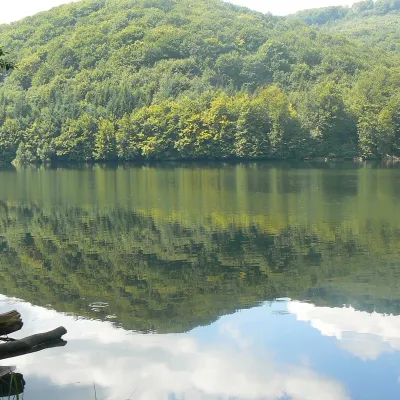 LakeMorské oko — the largest lake of the Vihorlat hillsZemplínske Hámre3.8 km from LysákNot to be confused with its Tatra namesake: this is Morské oko in the Vihorlat hills of eastern Slovakia, a few dozen kilometres from the Ukrainian border.
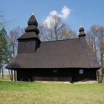 ChurchWooden Church of St Nicholas, Ruská BystráRuská Bystrá8.6 km from LysákA dark church in the forests of Vihorlat Ruská Bystrá is a small Rusyn village in Sobrance district of the Košice Region, surrounded by the Vihorlat hills (Vihorlatské...
Craft nearby
All craft places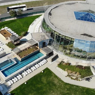 Water parks & thermal poolsThermalpark Šírava in Kaluža, Zemplínska ŠíravaKaluža16 km from LysákThermalpark Šírava (Thermalpark ŠÍRAVA) stands in the village of Kaluža on the northern shore of the Zemplínska Šírava — a large reservoir in eastern Slovakia.
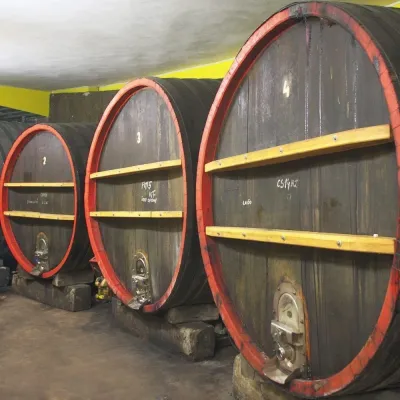 Wine & tastingsPivnica Orechová below Vihorlat: tastings in a deep wine cellarOrechová20 km from LysákVihorlat is a volcanic range in eastern Slovakia, best known for the Morské oko lake and its beech primeval forests.
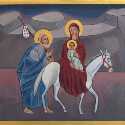 Crafts & workshopsVeraikon Icon Studio, Cisna: Carpathian icons and workshopsCisna39 km from LysákThe Veraikon Icon Studio (Pracownia Ikon Veraikon) in Cisna is, in its owners' words, the oldest and largest icon studio in the Bieszczady.
