Remetské Hámre
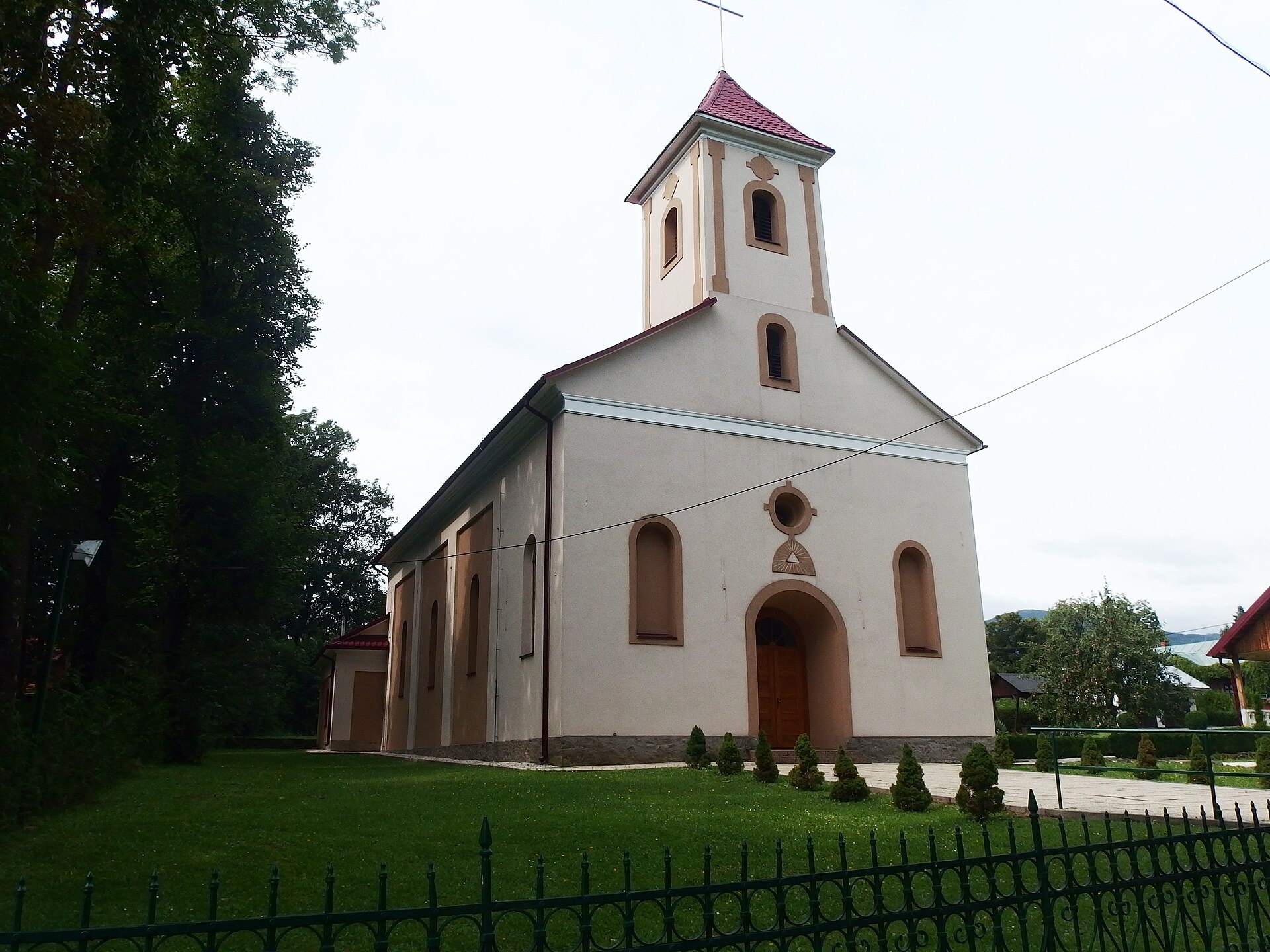
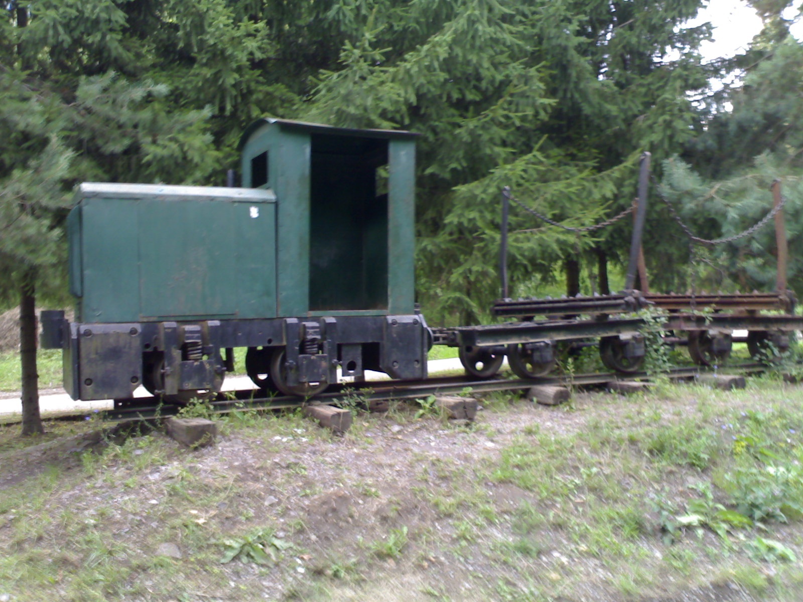
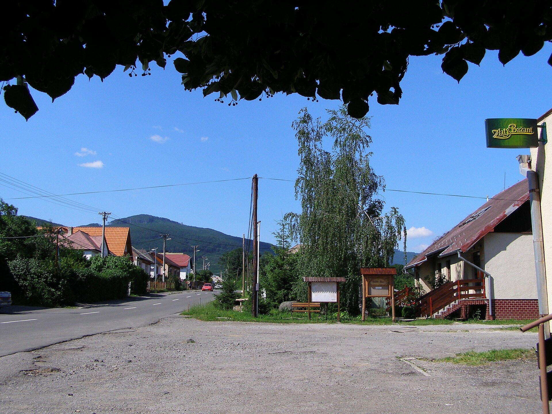
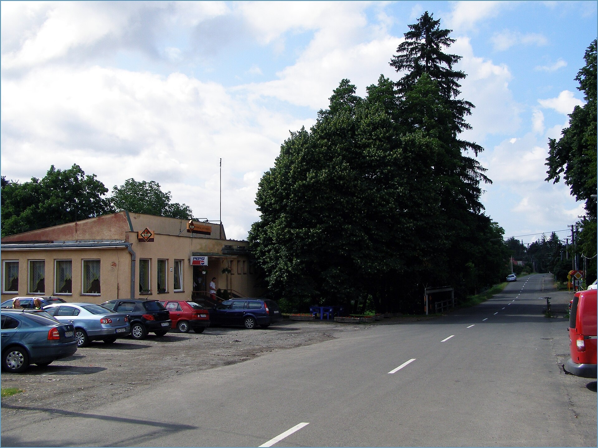
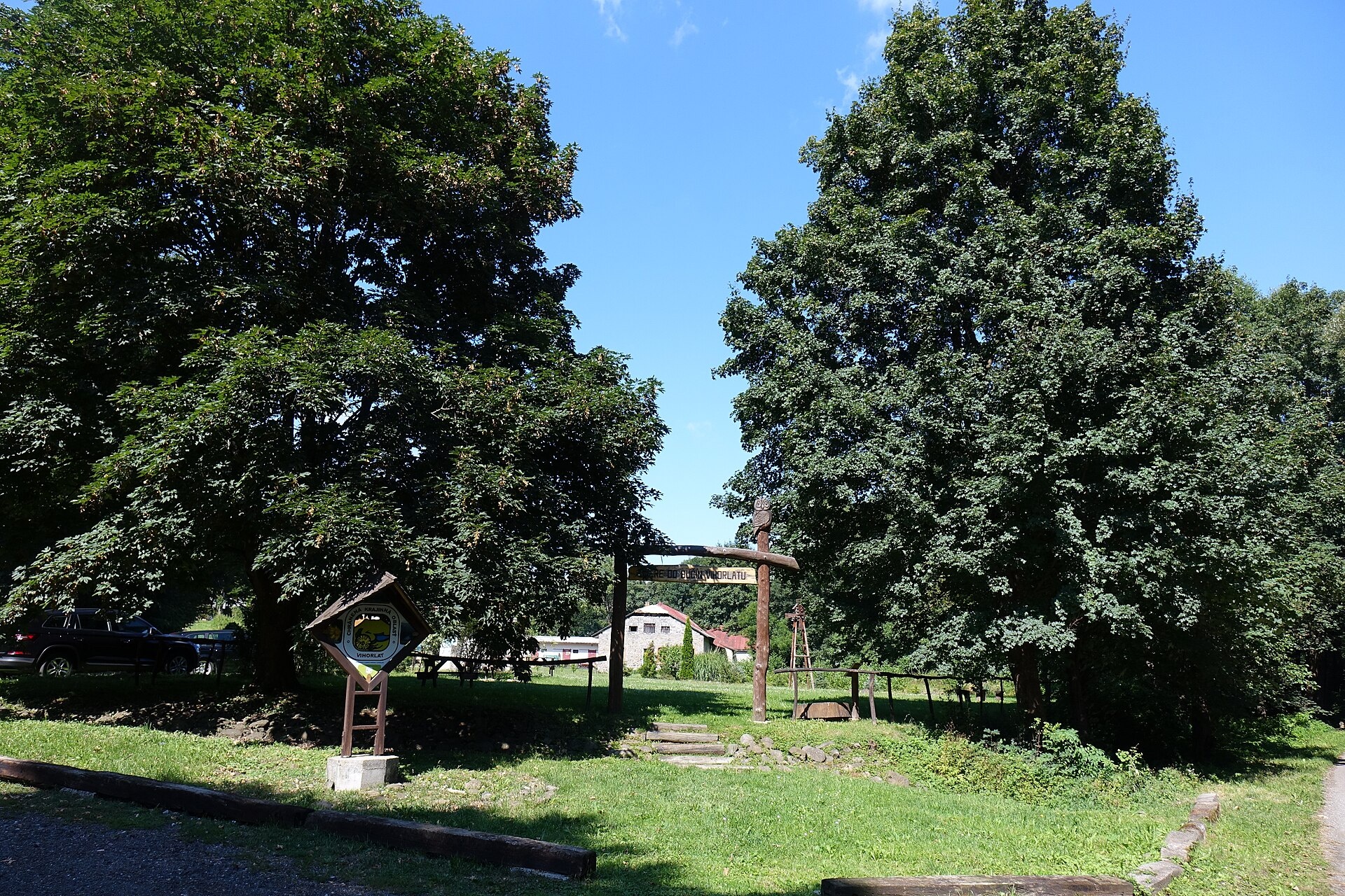
Photos: Palickap, CC BY-SA 4.0 (Wikimedia Commons); jaronizner, CC BY 3.0 (Wikimedia Commons); Jan Starec, CC BY-SA 3.0 (Wikimedia Commons); Jan Starec, CC BY-SA 3.0 (Wikimedia Commons); Jozef Kotulič, CC BY 4.0 (Wikimedia Commons); Jozef Kotulič, CC BY 4.0 (Wikimedia Commons)
Remetské Hámre is a village in Slovakia, located in the Sobrance District of the Košice Region. The village lies at an altitude of about 288 metres above sea level, set amidst the scenic foothills of the Vihorlat Mountains. The Remetský stream flows through the village, and the surrounding landscape features forests and hills characteristic of the Vihorlat range.
The first historical mention of Remetské Hámre dates back to 1828, making it the newest village in the Sobrance district. As of 2025, the population is 537 people.
The village is known for its natural setting near the Vihorlat Mountains. Facilities in the village include a public library, a swimming pool, and a football pitch. Nearby, you can find Morské oko, the largest lake of the Vihorlat Mountains, as well as several peaks such as Vihorlat, Sninský kameň, Motrogon, and Lysak.
Visitors can explore a network of hiking trails in and around Remetské Hámre, including "Remetské Hámre – Koňuš", "Poruba pod Vihorlatom – Rozdiel Saddle", "Potashnya – Strychovce", "Remetské Hámre – Old Stable", and "Remetské Hámre – Snina, station". Mountain enthusiasts can ascend peaks like Vihorlat, Sninský kameň, Motrogon, or Lysak. Notable sights include Morské oko and the wooden Church of St. Nicholas in Ruska Bystra. The "Morské oko" hut offers a place to rest in the mountains.
Getting there from Ukraine
Lviv – Snina ≈241 km, ≈4 h 20 min without queues: H-13 via Sambir and the Uzhok Pass to Velykyi and Malyi Bereznyi → Malyi Bereznyi – Ubľa checkpoint → road 74 to Snina (≈27 km, ≈30 min from the border). From Uzhhorod: via Vyšné Nemecké (I/19 towards Sobrance, then II/566 and road 74) ≈65 km, ≈1 h 15 min; via Malyi Bereznyi – Ubľa ≈80 km, ≈1 h 40 min, but that crossing is usually less busy.
Sources: Wikipedia, Wikidata, OpenStreetMap, Karpaty.rocks data. More on Wikipedia
What's nearby
Trails nearby
All trails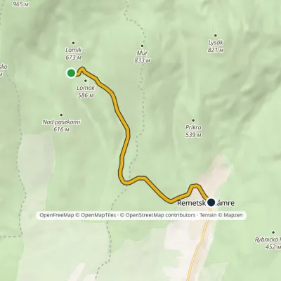 EasyOne-dayMarkedRemetské Hámre Stará koniareňElevation profile298–571 m5.4 kmascent 39 m≈ 1.5 h walkingunder 1 km from the centre
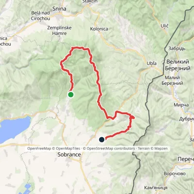 HardMulti-dayMarkedRemetské Hámre KoňušElevation profile272–1 023 m47.5 kmascent 2 062 munder 1 km from the centre
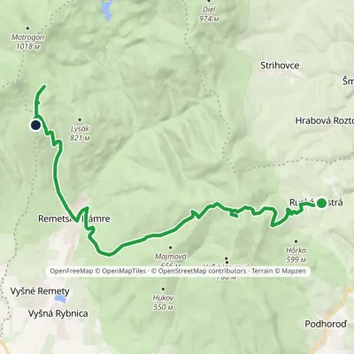 ModerateTwo-dayMarkedRemetské Hámre Ruská BystráElevation profile294–843 m19.2 kmascent 1 009 m≈ 7 h walkingunder 1 km from the centre
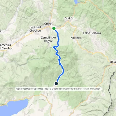 ModerateTwo-dayMarkedRemetské Hámre Snina, stationElevation profile224–1 006 m21.2 kmascent 781 m≈ 7 h walkingunder 1 km from the centre
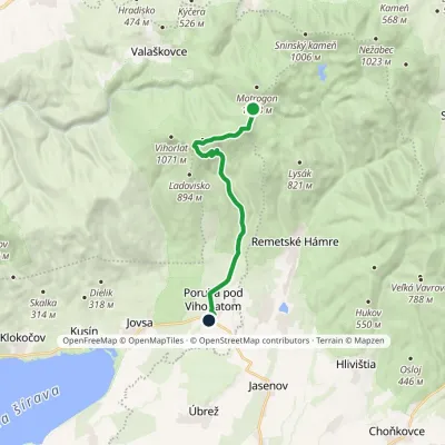 ModerateOne-dayMarkedPoruba pod Vihorlatom Sedlo RozdielElevation profile192–974 m13.2 kmascent 174 m≈ 3.5 h walking2.2 km from the centre
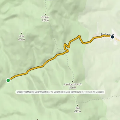 EasyOne-dayMarkedPotašňa StrihovceElevation profile373–666 m7.2 kmascent 294 m≈ 2.5 h walking3.5 km from the centre
Peaks nearby
All peaks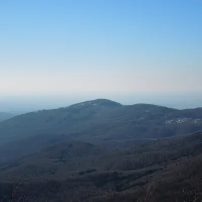 PeakLysákRemetské Hámrealtitude 821 m · Volcanic Carpathians range3.5 km from the centreLysák (formerly Lysá) is a summit 821 m high in the Vihorlat Mountains of eastern Slovakia, in the Vihorlat subunit.
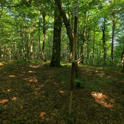 PeakMotrogonValaškovcealtitude 1 018 m · Volcanic Carpathians range6.8 km from the centreMotrogon is a 1,018 m summit in the Vihorlat Mountains of eastern Slovakia — according to Polish sources the fourth highest in the Vihorlat.
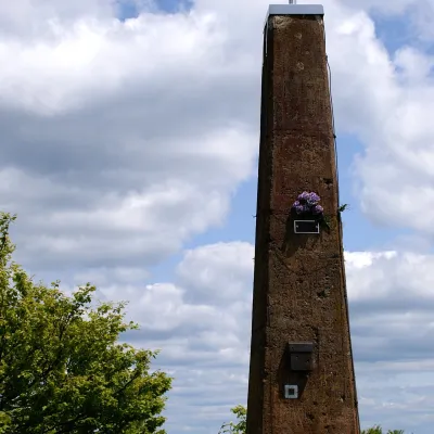 PeakVihorlatValaškovcealtitude 1 076 m · Volcanic Carpathians range6.9 km from the centreVihorlat (Polish Wyhorlat) is the highest peak of the Vihorlat Mountains in eastern Slovakia, 1,076 m high (precisely 1,075.5 m).
What to visit
All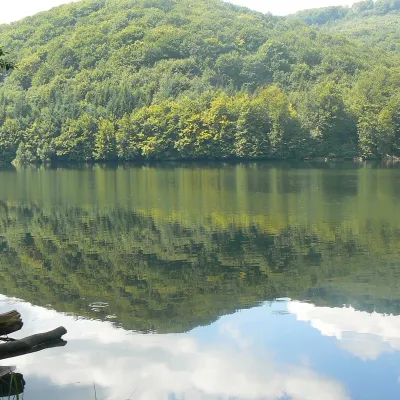 LakeMorské oko — the largest lake of the Vihorlat hillsZemplínske Hámre7.3 km from the centreNot to be confused with its Tatra namesake: this is Morské oko in the Vihorlat hills of eastern Slovakia, a few dozen kilometres from the Ukrainian border.
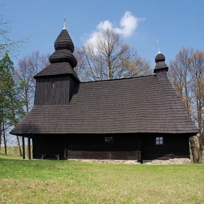 ChurchWooden Church of St Nicholas, Ruská BystráRuská Bystrá8.3 km from the centreA dark church in the forests of Vihorlat Ruská Bystrá is a small Rusyn village in Sobrance district of the Košice Region, surrounded by the Vihorlat hills (Vihorlatské...
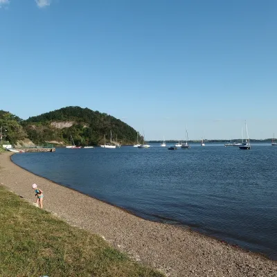 LakeZemplínska šírava — the “Slovak Sea” below the VihorlatKaluža14 km from the centreThe “Slovak Sea” by the Ukrainian border Zemplínska šírava is a large reservoir in eastern Slovakia, in the Bodrog basin below the Vihorlat hills.
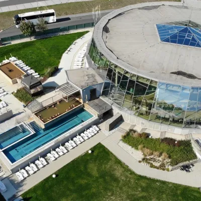 Water parks & thermal poolsThermalpark Šírava in Kaluža, Zemplínska ŠíravaKaluža14 km from the centreThermalpark Šírava (Thermalpark ŠÍRAVA) stands in the village of Kaluža on the northern shore of the Zemplínska Šírava — a large reservoir in eastern Slovakia.
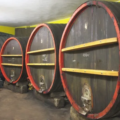 Wine & tastingsPivnica Orechová below Vihorlat: tastings in a deep wine cellarOrechová17 km from the centreVihorlat is a volcanic range in eastern Slovakia, best known for the Morské oko lake and its beech primeval forests.
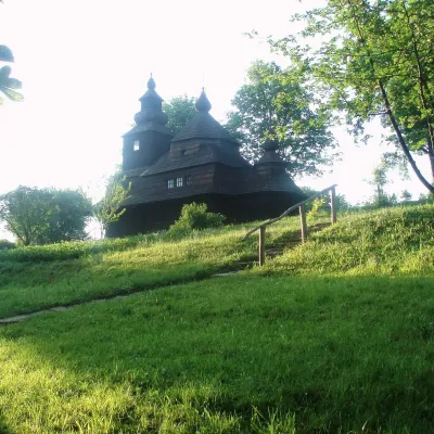 MuseumVihorlat Museum and Open-Air Museum, HumennéHumenné22 km from the centreThe Vihorlat Museum (Vihorlatské múzeum) in Humenné is the main museum of Upper Zemplín in north-eastern Slovakia.
Spas and thermal pools nearby
Huts, shelters and springs nearby
Getting there from Ukraine
Border crossings
- Uzhhorod – Vyšné Nemecké — road, 24/7
- Malyi Bereznyi – Ubľa — road, 24/7 For cars and buses; pedestrians not confirmed by the Ukrainian border service, lorries up to 3.5 t.
- Mali Selmentsi – Veľké Slemence (pedestrian) — pedestrian, 09:00–21:00 Kyiv time Pedestrians and cyclists only; inconvenient for the Tatras without onward transport.
- Chop – Čierna nad Tisou (rail) — rail, 24/7
By car
Lviv – Snina ≈241 km, ≈4 h 20 min without queues: H-13 via Sambir and the Uzhok Pass to Velykyi and Malyi Bereznyi → Malyi Bereznyi – Ubľa checkpoint → road 74 to Snina (≈27 km, ≈30 min from the border). From Uzhhorod: via Vyšné Nemecké (I/19 towards Sobrance, then II/566 and road 74) ≈65 km, ≈1 h 15 min; via Malyi Bereznyi – Ubľa ≈80 km, ≈1 h 40 min, but that crossing is usually less busy.
Checked 23.10.2026; border crossing hours and timetables change — check before you travel.
