Baranie rohy
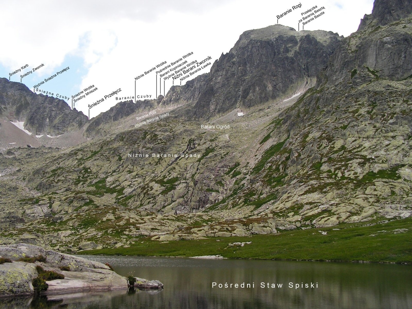
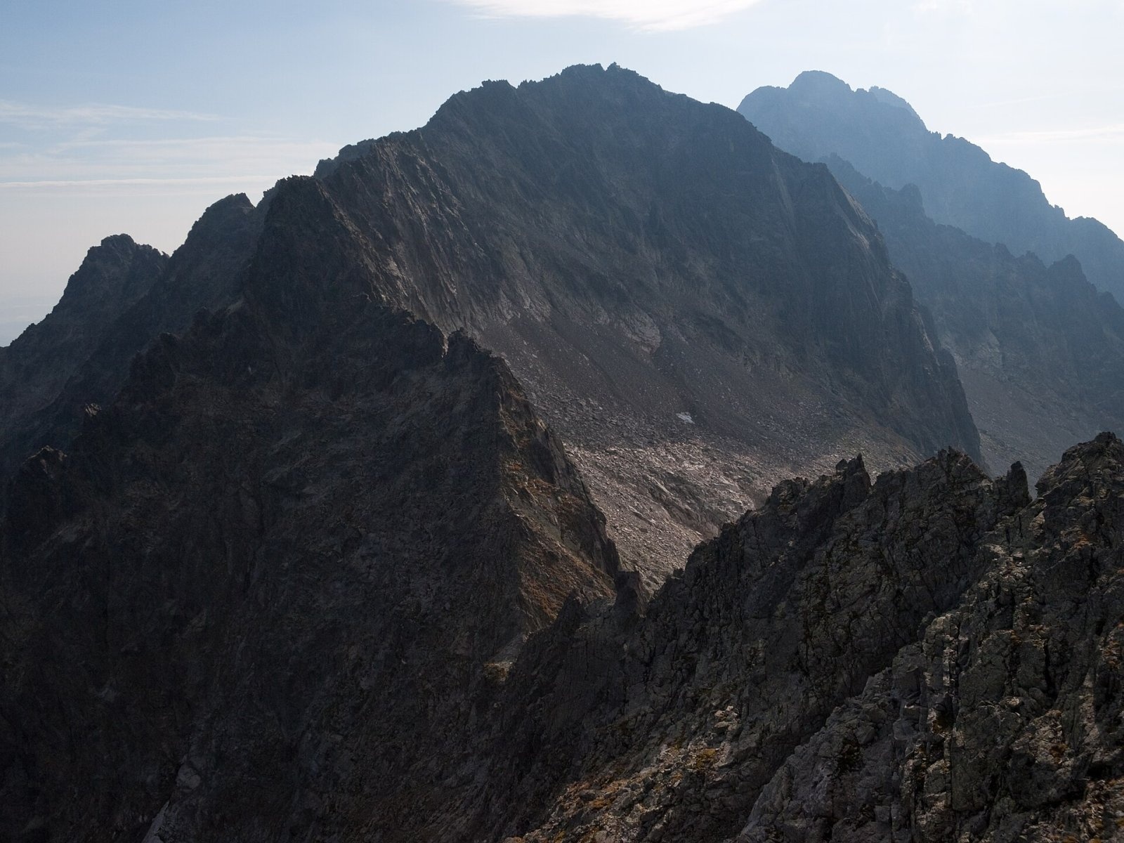
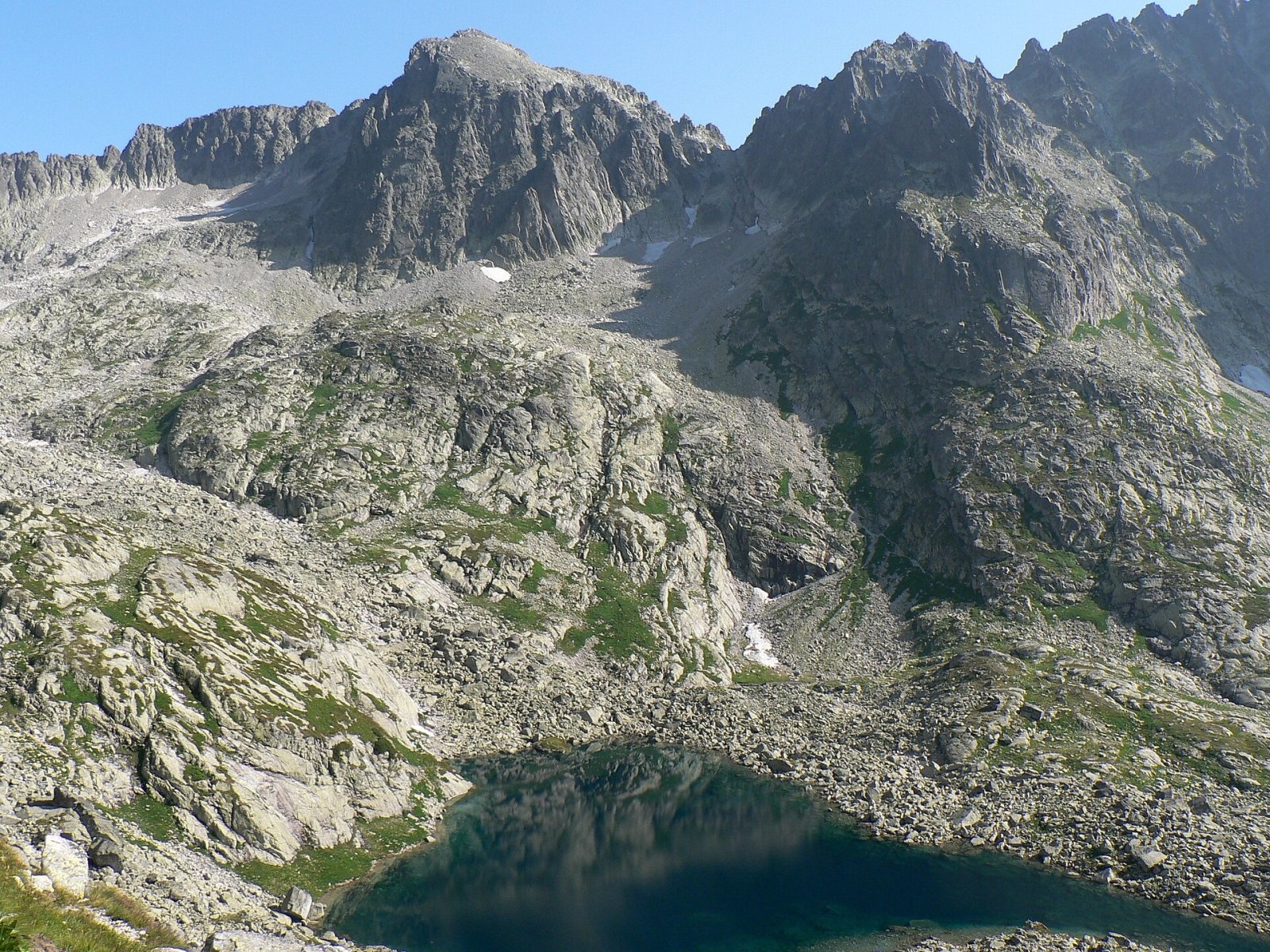
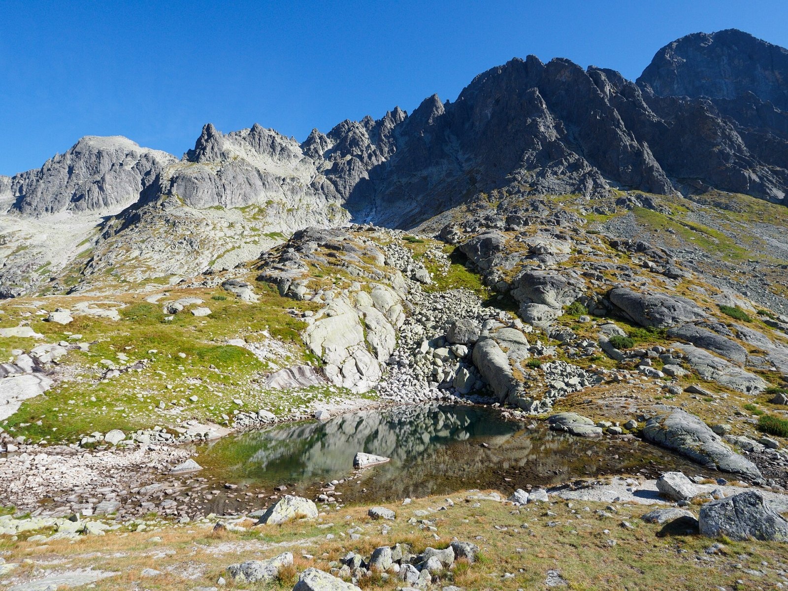
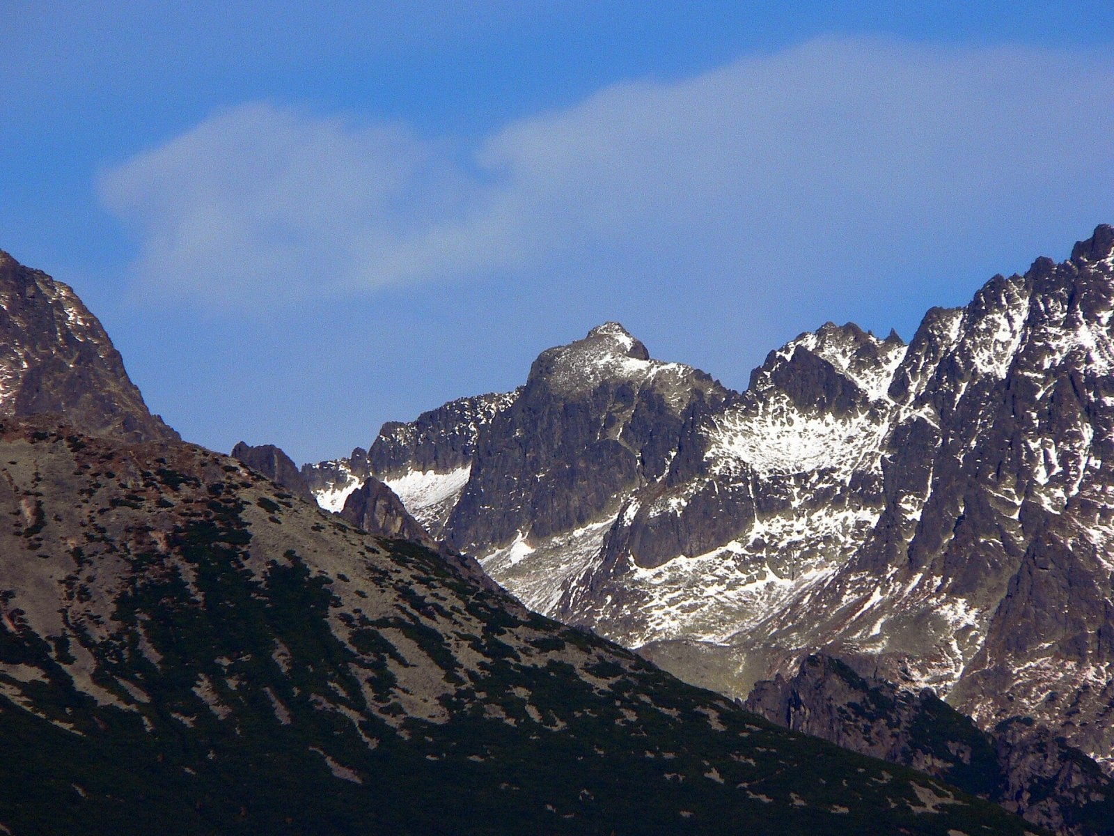
Baranie rohy ("Ram's Horns"; Polish Baranie Rogi, German Grünseespitze, Hungarian Zöld-tavi-csúcs) is a rocky 2526 m peak in the Slovak High Tatras. It rises above the resort of Tatranská Lomnica, about 15 km north of Poprad, in the Prešov Region; the high mountain hut Téryho chata lies to the south. The nearest settlements in our OSM data are Tatranská Javorina (about 8 km), Podspády (9 km) and Ždiar (9 km). Polish sources also give a newer measurement of 2530 m (earlier estimates: 2526 or 2536 m).
The peak lies next to the main High Tatras ridge, between Ľadový štít (2627 m) and Jahňací štít (2230 m). The massive mountain has two tops separated by the Barania škára notch: the main south-eastern top and the north-western one (Vyšná Barania strážnica). The main top stands about 100 m off the main ridge and so belongs to the mighty spur of Lomnický štít; the deep Baranie sedlo saddle (2389 m) separates it from neighbouring Spišský štít (2483 m). A characteristic feature is the broad scree plateau above the south face, known as the Barania galéria. The mountain towers over the Čierna dolina, the Five Spiš Tarns basin and the Veľká Zmrzlá dolina; its water flows both to the Dunajec and to the Poprad.
How to get there / routes
No marked trail leads to the summit. The mountain lies in the Tatra National Park (TANAP), where the boundaries of the Javorová dolina, Dolina Bielej vody kežmarskej and Studené doliny reserves meet, so free access is forbidden. Still, Baranie rohy is one of the easiest unmarked peaks above 2500 m: the normal route leads over the Baranie sedlo – from Chata pri Zelenom plese through the Veľká Zmrzlá dolina or from Téryho chata through the Five Spiš Tarns basin – and is allowed only with a mountain guide.
Marked trails lead to the starting huts:
- Chata pri Zelenom plese – red trail from Ždiar via the Široké and Kopské saddles or from Skalnaté pleso via Veľká Svišťovka; yellow from the Kežmarská Biela voda junction up the Zelené pleso valley.
- Téryho chata – green trail from Zamkovského chata or from Tatranská Javorina up the Javorová dolina and over Sedielko.
The Lomnický štít cable car runs nearby.
What you can see from the top
The rocky top gives an all-round panorama: the surrounding High Tatra peaks – Lomnický and Pyšný štít, Kežmarský štít, Čierny and Kolový štít, Ľadový štít – the Belianske Tatras ridge and, in good weather, part of the Poprad basin, the Low Tatras, the Volovské, Slanské and Levoča hills, the Orava Beskids and the mountains of southern Poland.
Nature and history
The name is explained by the mountain's shape: seen from the north-west it resembles a ram's head with two horns; other "ram" names also cluster around the Baránia kotlinka basin. The German and Hungarian names refer to the nearby Zelené pleso Kežmarské (Green Lake). The first recorded summer ascent was made before 17 September 1867 by Fr. Józef Stolarczyk and Fr. Ambroży Reformat (Tomasz Trausyl) with the guides Wojciech Gąsienica Kościelny, Wojciech Ślimak, Szymon Tatar senior and Jędrzej Wala senior. The first winter ascent was by Tibold Kregczy, Lajos Rokfalusy and Zoltán Votisky on 17 April 1911. Many climbing routes run up its faces.
Safety, season and rules
This is high-alpine rock terrain without paths: only with a guide and proper equipment. TANAP's high-mountain trails, including the approaches to Téryho chata and over the saddles, are closed every year from 1 November to 31 May. The weather changes fast and snow lingers in the gullies. Slovak Mountain Rescue Service (HZS): 18 300 (+421 18 300) or 112.
Interesting facts
- Baranie rohy belongs to the Great Crown of the Tatras.
- Its main top stands not on the main ridge but about 100 m off it.
Photos: Rafik k, CC BY-SA 4.0; Rafik k, CC BY-SA 4.0; Krzysztof Dudzik-Górnicki (User:ToSter), CC BY-SA 3.0; Rafik k, CC BY-SA 4.0; Pavol Svetoň, CC BY-SA 4.0 — Wikimedia Commons.
Getting there from Ukraine
Border crossings
- Uzhhorod – Vyšné Nemecké — road, 24/7
- Malyi Bereznyi – Ubľa — road, 24/7 For cars and buses; pedestrians not confirmed by the Ukrainian border service, lorries up to 3.5 t.
- Mali Selmentsi – Veľké Slemence (pedestrian) — pedestrian, 09:00–21:00 Kyiv time Pedestrians and cyclists only; inconvenient for the Tatras without onward transport.
- Chop – Čierna nad Tisou (rail) — rail, 24/7
By car
Uzhhorod – Poprad ≈195 km, ≈2 h 55 min without queues: Uzhhorod – Vyšné Nemecké checkpoint → I/19 via Sobrance and Michalovce → Košice → D1 motorway via Prešov → Poprad (Liptovský Mikuláš is ≈56 km further on the D1, total ≈249 km). Košice – Poprad ≈112 km. The D1 requires an e-vignette (eznamka.sk). Note: from Lviv the fastest way to Poprad is through Poland — Krakovets – A4 – Kraków – Zakopane – Łysa Polana ≈468 km (≈5 h 50 min); via Uzhok and Malyi Bereznyi ≈419 km but slower (≈6 h 40 min). Zakopane – Poprad ≈69 km, Zakopane – Liptovský Mikuláš ≈80 km.
Checked 23.10.2026; border crossing hours and timetables change — check before you travel.
Location on the map
Water and shelter nearby
- Spring below Čierna vežička640 m · Not verified · 2 055 m
- Spring below Nižný kolový chlapík700 m · Not verified · 2 051 m
- Téry Hut1.3 km · Standing · 2 015 m
- Green Tarn Hut2 km · Standing · 1 550 m
- Brukov prameň Spring2.5 km · Not verified · 1 868 m
- Spring below Huncovský štít2.8 km · Not verified · 1 918 m
- Spring below Strelecká veža2.9 km · Not verified · 1 704 m
Comments
Trails nearby
All trails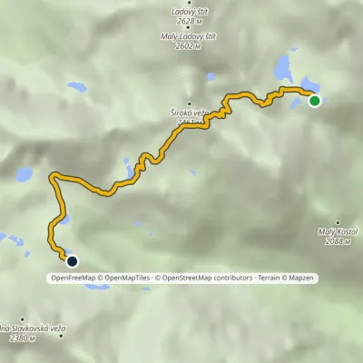 HardOne-dayMarkedTéryho chata Zbojnícka chataElevation profile1 970–2 260 m4.9 kmascent 247 m≈ 1.5 h walking1.2 km from Baranie rohy
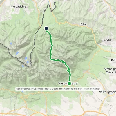 HardTwo-dayMarkedStary Smokowiec Tatrzańska JaworinaElevation profile996–2 342 m22.4 kmascent 1 382 m≈ 8.5 h walking1.2 km from Baranie rohy
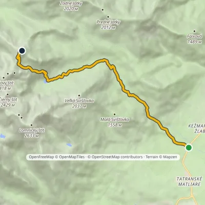 HardOne-dayMarkedBiela voda, car park Jahňací štítElevation profile917–2 230 m10.1 kmascent 1 313 m≈ 5 h walking1.6 km from Baranie rohy
Nearby attractions
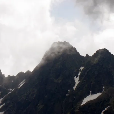 PeakMalý Pyšný štítStarý Smokovecaltitude 2 590 munder 1 km from Baranie rohyMalý Pyšný štít (Polish Mały Durny Szczyt, German Téryspitze, Hungarian Téry-csúcs) is a 2,590 m rock summit in the Slovak High Tatras.
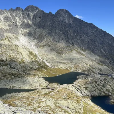 LakePäť Spišských plies (Five Spiš Tarns)Starý Smokovec1 km from Baranie rohyPäť Spišských plies (the Five Spiš Tarns) is a group of five glacial lakes at the very head of Malá Studená dolina in the Slovak High Tatras, within Tatra National...
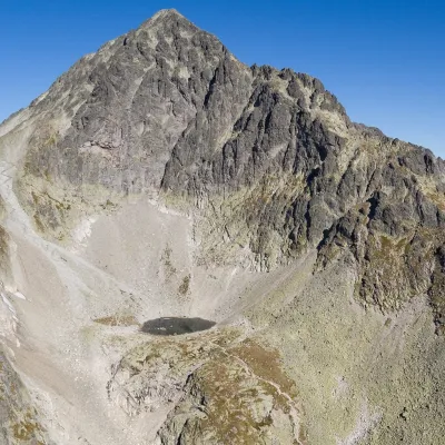 LakeModré plesoStarý Smokovec1.3 km from Baranie rohyModré pleso (the Blue Tarn) is the highest permanent lake in the whole Tatras. It lies at 2,192 m (Czech and German sources give 2,189 m) in Dolinka pod Sedielkom, a...
Craft nearby
All craft places Water parks & thermal poolsClimatic spas of the High Tatras: Nový Smokovec, Polianka, KotlinaVysoké Tatry7.2 km from Baranie rohyNový Smokovec is the best known of the climatic spas of the High Tatras. It grew up in a spruce forest at about 1010 m, south-west of Starý Smokovec, with which it...
 Cheese dairies & pasturesShepherd's Hut on Rusinowa PolanaBrzegi10 km from Baranie rohyRusinowa Polana is one of the most beautiful mountain glades in the Polish Tatras, and from May to October it is home to the bacówka (shepherd's hut) of baca Stanisław...
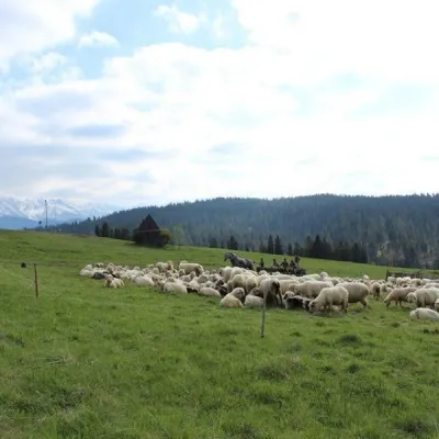 Cheese dairies & pasturesU Jancoka Shepherd's Hut, Brzegi: oscypek from Poland's first female bacaBrzegi15 km from Baranie rohyThe U Jancoka shepherd's hut (bacówka) stands beside regional road 960, which runs from Bukowina Tatrzańska to the Łysa Polana border crossing, in the village of Brzegi.
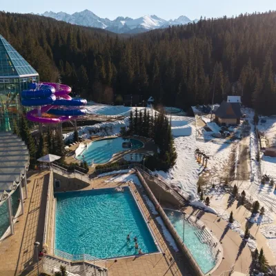 Water parks & thermal poolsTermy BukovinaBukowina Tatrzańska16 km from Baranie rohyTermy Bukovina is a modern thermal pool complex in Bukowina Tatrzańska, a village lying about a thousand metres above sea level on the edge of the Tatra National Park.
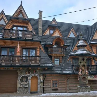 Crafts & workshopsDrewutnia, Bukowina Tatrzańska: glass painting workshops and highland furnitureBukowina Tatrzańska16 km from Baranie rohyDrewutnia ("the woodshed") calls itself a "shop for cultural needs". It is the family business of the Kuchtas of Bukowina Tatrzańska, who say they have lived here...
 Cheese dairies & pasturesFurtek's Shepherd's Huts, Kuźnice and KalatówkiZakopane18 km from Baranie rohyAbove Kuźnice — the southern edge of Zakopane where most hikes into the Western and High Tatras begin — the flocks are tended by baca Andrzej Staszel, nicknamed "Furtek".
