Anna


What to see nearby
The best within 10 km, as the crow flies
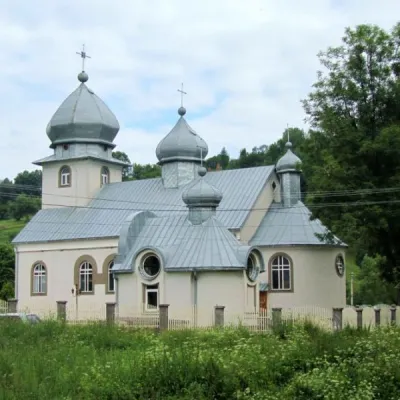 New Church of the Nativity of the Blessed Virgin MaryChurch · 2.1 km
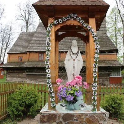 Church of the Nativity of the Blessed Virgin MaryChurch · 2.2 km
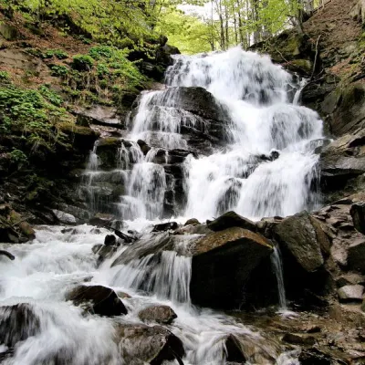 Shypit WaterfallWaterfall · 3.1 km
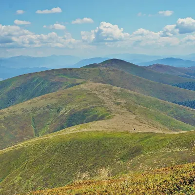 Mount GembaPeak · 4.6 km
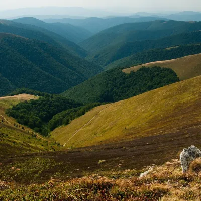 Polonyna BorzhavaMountain meadow · 6.0 km
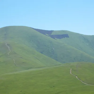 Mount Veliky VerkhPeak · 6.2 km
Trails starting within 5 km: 16
Private homestead "Anna" is located in Pylypets, 850 meters from the ski lifts on Mount Mahura. On the first floor of the homestead, there is a kitchen with a stove, sink, refrigerator, cupboard, dishes, table, and chairs (conditions and cost of using the kitchen should be agreed upon when booking). On the second floor, there are three double rooms equipped with beds and sofas. A shared bathroom is located on the floor. The nearest shop is 200 m from the homestead "Anna". The distance to the village of Mizhhirya is 24.5 km, and to Ivano-Frankivsk city is 148 km.
Please clarify the possibility of providing an extra bed when booking.
You can reach by train in the direction of Uzhhorod or by electric train Lviv-Mukachevo to the Volovets station, then by bus or taxi to the village of Pylypets. By car, take the "Kyiv-Lviv-Chop" highway (M-06).
The homestead has a fully equipped kitchen for self-catering.
Location on the map
Reviews
Nearby attractions
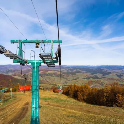 Adventures & attractionsPylypets Sky & Bike Park: chairlift and bike park, PylypetsPylypets2.2 km from AnnaPylypets Sky & Bike Park is a chairlift and bike park in the Zakarpattia village of Pylypets, one of the region’s best-loved ski resorts.
 Cheese dairies & pasturesIZKI Highland Cheese Dairy, IzkyIzky3.2 km from AnnaThe IZKI cheese dairy is the culinary highlight of the eco-resort of the same name in the village of Izky, Zakarpattia.
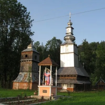 ChurchSt. Nicholas Church, IzkyIzky4.5 km from AnnaNicholas the Wonderworker is a wooden church located in the village of Izky, Mizhhiria district, Transcarpathian region.
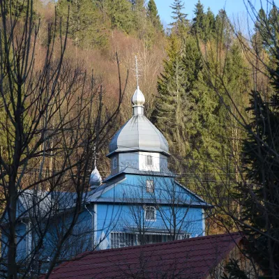 ChurchChurch of the Presentation of the Blessed Virgin Mary (new and old), RoztokaRoztoka4.7 km from AnnaThe Church of the Presentation of the Blessed Virgin Mary is a wooden church located in the village of Roztoka, Mizhhiria district, Zakarpattia region.
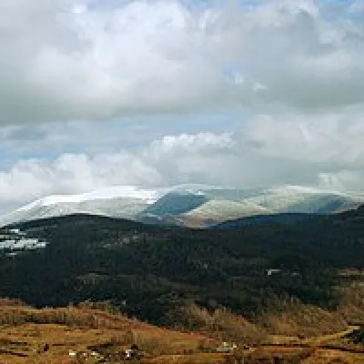 Mountain meadowPolonyna-KukMizhhiriaaltitude 1 189 m · Borzhava range19 km from AnnaVery beautiful scenery, there is a spring and places to spend the night with a tent down the road to Mount Cook.
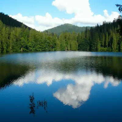 LakeSynevyr Lake Synevyrska PolyanaSynevyrska Polyana28 km from AnnaLake Synevyr, located on the territory of the National Nature Park of the same name in Mizhhirya district of Zakarpattia region, is the largest and one of the most...
Craft nearby
All craft places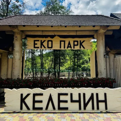 Wildlife parks & animal farmsKelechyn Eco Park, KelechynKelechyn9.1 km from AnnaKelechyn Eco Park is a small petting park in the village of Kelechyn in Zakarpattia, on the road from Mizhhiria towards Volovets.
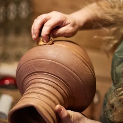 Crafts & workshops4 Seasons Pottery Studio and Horse Riding, SlavskeSlavske21 km from AnnaThe 4 Seasons cottage complex in Slavske is known not only for its wooden chalets but also for two activities that turn an ordinary mountain break into something...
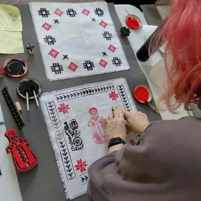 Crafts & workshopsBoyko Woodblock Fabric Printing Workshop, SlavskeSlavske23 km from AnnaThe Boyko woodblock fabric printing workshop is run by craftswoman Natalia Horbonos-Akastiolova at the Centre of Boyko Culture in the Karpaty.Slavsko hotel.
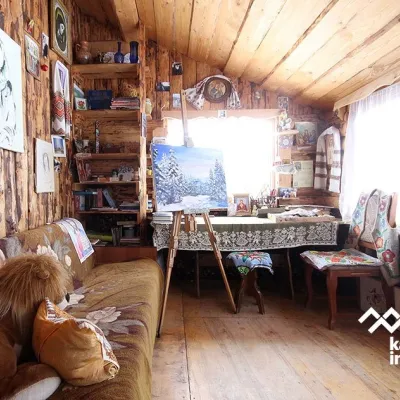 Crafts & workshopsViktoria Art Gallery, SlavskeSlavske23 km from AnnaThe Viktoria Art Gallery in Slavske is a small family gallery and studio where art lives not behind glass but in the homely atmosphere of a wooden house.
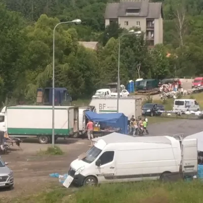 Markets & fairsFriday Market, SlavskeSlavske23 km from AnnaThe Friday market in Slavske is a real mountain bazaar of the Boyko region, where sellers and shoppers from the surrounding villages of the Skole Beskids gather every...
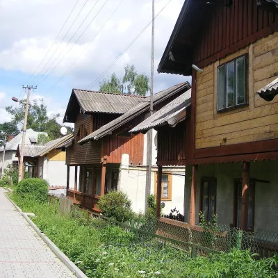 Ethno tours & guidesBarvy Karpat Excursions, SlavskeSlavske24 km from AnnaBarvy Karpat («Colours of the Carpathians») is a small local excursion organiser based in Slavske, one of the best-known resorts of the Skole Beskids.
Peaks nearby
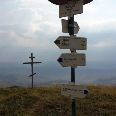 PeakMount RiapetskaPodobovetsaltitude 1 210 m · Borzhava range4.3 km from AnnaRiapetska (1210 m) is a summit of the Polonyna Borzhava massif on the Polonynian Ridge of the Ukrainian Carpathians.
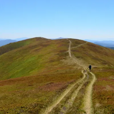 PeakMount Zhid-MaguraPylypetsaltitude 1 517 m · Borzhava range5.1 km from Anna24 trails to the topZhyd-Magura (also called Magura-Zhyd) is a 1517-meter peak of the Ukrainian Carpathians, which is located within the popular tourist destination, the Polonyna Borzhava...
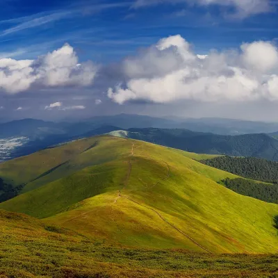 PeakMount HrabPotikaltitude 1 374 m · Borzhava range6.8 km from AnnaHrab is a summit in the Polonyna Borzhava massif (Ukrainian Carpathians) on the border of the Svaliava and Mizhhiria districts of Zakarpattia Oblast, south-west of the...
Trails nearby
All trails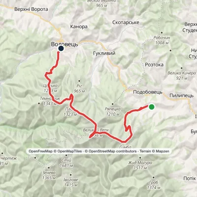 HardMulti-dayPylypets village to Volovetsvia Shypit Waterfall, Mount Hemba +1Elevation profile488–1 598 m28.8 kmascent 1 388 m≈ 10 h walkingunder 1 km from Anna
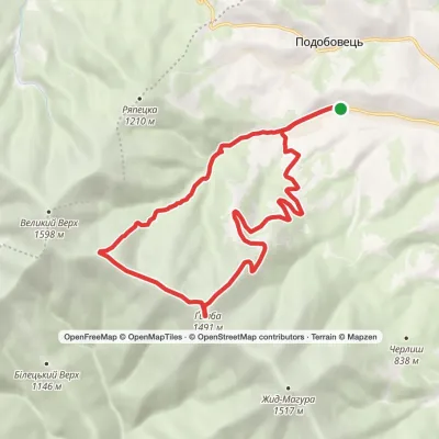 ModerateTwo-dayPylypets village loopvia Shypit Waterfall, Mount HembaElevation profile651–1 491 m17.7 kmascent 875 m≈ 6 h walkingunder 1 km from Anna
 HardMulti-dayVolovets to Podobovets villagevia Mount Plai, Mount Velykyi Verkh +1Elevation profile488–1 598 m25 kmascent 1 499 m≈ 9 h walkingunder 1 km from Anna
