Weather forecast for November 9 in the Carpathians

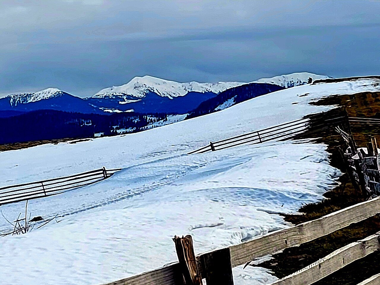
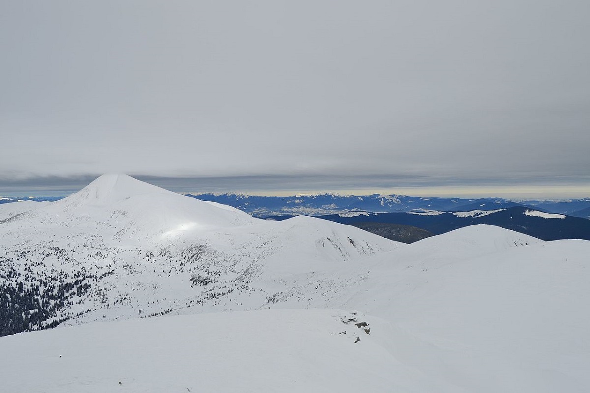
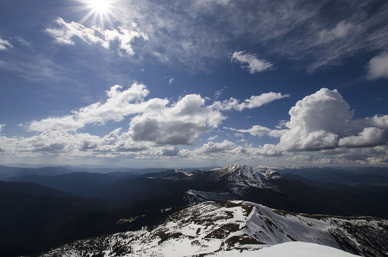
Photo: DanilWikiUser / Wikimedia Commons, CC0
Gallery photos: 2 — illustration from our site — Mount Pozhyzhevska; 3 — I.am.wiz / Wikimedia Commons, CC BY-SA 3.0
What we know
In Ivano-Frankivsk, it will be cloudy with clearings. The air temperature at night will be 3-5° below zero, during the day 6-8° above zero. In the region, the temperature at night will be 2-7° below zero, during the day 4-9° above zero.
In the highlands, at night 2-7° below zero, during the day 0-5° above zero. The wind will be from the south, with a speed of 5-10 m/s. Visibility on the roads will be 4-6 km, in fog 600-900 m.
Medical and meteorological conditions of the first type.
What it means for travellers
- Mount Pozhyzhevska — MET Norway forecast as of November 9:
Mon, November 9: -4 to +2 °C, wind up to 8 km/h
Tue, November 10: -5 to 0 °C, wind up to 19 km/h, precipitation 9 mm, snow possible
Wed, November 11: -5 to -2 °C, wind up to 14 km/h, precipitation 1.5 mm, snow possible - Mountain rescue: 101 or 112. Before heading into the mountains, check the forecast, tell someone your route and return time, and take a charged phone and a power bank. 16 rules of behaviour in the mountains.
- Weather on the summits nearby: Hoverla, Turkul, Brebeneskul — hourly forecast for the summit height.
- In winter, check the official avalanche warning of the State Emergency Service before heading into the high mountains.
About the place
Mount Pozhyzhevska (or Pozhezhevska) is one of the peaks of the Ukrainian Carpathians. It is located in the northwestern part of the Chornohora mountain range on the border of Zakarpattia and Ivano-Frankivsk regions. The height of the peak is 1822 meters. The relief and vegetation of Pozhyzhevska is typical for the Chornohora range. The slopes of the peak are generally gentle, except for its western side, where there are very dangerous steep rocky cliffs.
Nearby
- Mount Hoverla — 2.5 km
- High-mountainous Lake Nesamovite — 2.7 km
- Mount Shpytsi — 3.9 km
- Polonyna Gadzhina — 4.2 km
- Mount Gutin Tomnatik — 5.5 km
Getting there
- Mount Pozhyzhevska — directions on Google Maps
- Nearest railway station: Вороненко (≈ 15 km)
Based on reports by: Курс (kurs.if.ua), Репортер (report.if.ua).
Comments
Places from the article
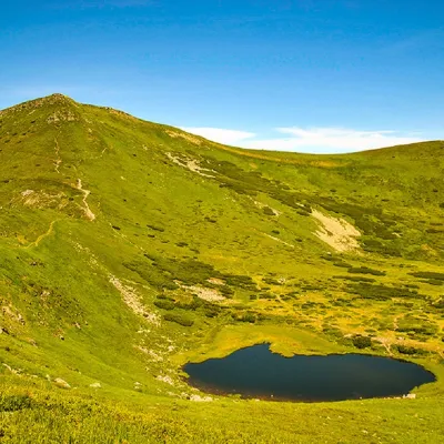
 LakeHigh-mountainous Lake Nesamovite (1750 m.a.s.l., Chornohora ridge)VorokhtaNesamovyte is one of the highest lakes in the Ukrainian Carpathians (1750 m above sea level).
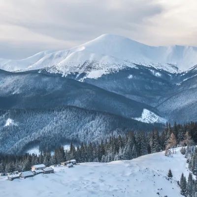
 PeakMount Gutin TomnatikBystretsaltitude 2 016 m · Chornohora range79 trails to the topGutin Tomnatik (2016 m) is the fifth highest mountain in Ukraine, on a south-western spur of Chornohora in the...
 PeakMount HoverlaVorokhtaaltitude 2 061 m · Chornohora range109 trails to the topHoverla (2061 m) is the highest mountain in Ukraine, in the Chornohora range on the border of the Ivano-Frankivsk and...
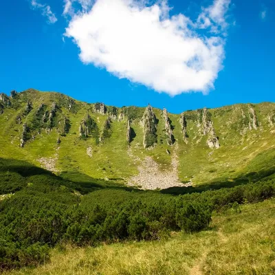 PeakMount ShpytsiBystretsaltitude 1 863 m · Chornohora range35 trails to the topShpytsi (1863 m) is a rocky peak on a north-eastern spur of Chornohora; its slopes are ringed by rows of crags 20–50...
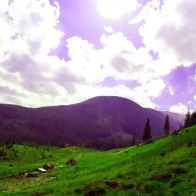 Mountain meadowPolonyna GadzhinaBystretsIt seemed that the Chornohora massif was literally crowded with people, but sometimes you can come across places that...
Where to stay nearby
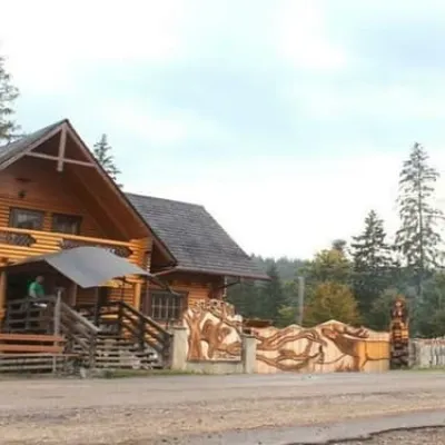 HotelBiia HoverlyVorokhtaBBQParkingWi‑Fifrom 1 320 UAH per night
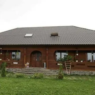 HotelPid Vukhatym KamenemDzembroniaHot tubBBQParkingfrom 1 210 UAH per night
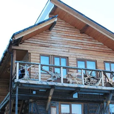 HotelU KumaLazeshchynaBBQParkingWi‑Fifrom 990 UAH per night
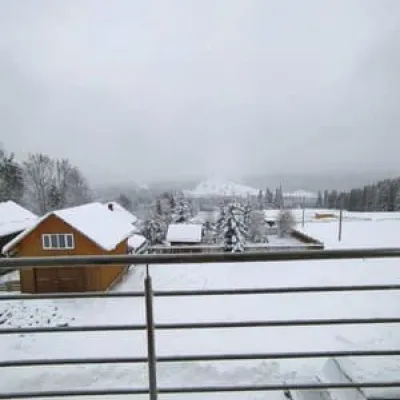 HotelBukov'yanVerkhovynaSaunaBBQParkingfrom 2 070 UAH per night
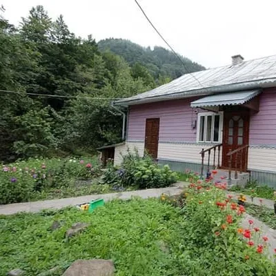 HotelU IvanaDzembroniaBBQParkingWi‑Fifrom 2 970 UAH per night
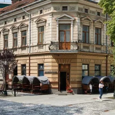 HostelLamaIvano-FrankivskParkingWi‑FiPetsfrom 575 UAH per night
Trails nearby
 EasyOne-dayZaroslyak base Lake NesamovyteElevation profile1 262–1 747 m7.6 kmascent 69 m≈ 2 h walking
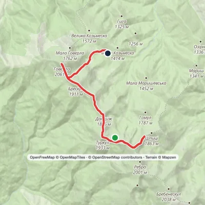 ModerateTwo-dayLake Nesamovyte to Zaroslyak basevia Mount Shpytsi, Mount Hoverla +1Elevation profile1 285–2 061 m14.4 kmascent 886 m≈ 5.5 h walking
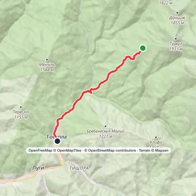 EasyOne-dayMarkedTurkulska polonyna Hoverla villageElevation profile672–1 541 m8.5 kmascent 17 m≈ 2 h walking
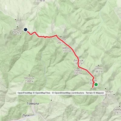 ModerateTwo-dayLake Brebeneskul to Holovcheska polonynavia Mount Hutyn Tomnatyk, Mount Rebra +1Elevation profile1 518–2 016 m16.3 kmascent 623 m≈ 5.5 h walking
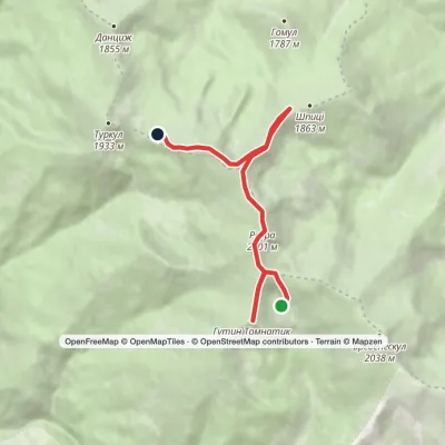 EasyOne-dayLake Brebeneskul to Lake Nesamovytevia Mount Rebra, Mount ShpytsiElevation profile1 748–2 016 m7 kmascent 367 m≈ 2.5 h walking
 ModerateTwo-dayMarkedLake Brebeneskul to Holovcheska polonynavia Mount Rebra, Lake Nesamovyte +1Elevation profile1 500–2 061 m16.7 kmascent 782 m≈ 5.5 h walking
You may also be interested in
All articlesTourist Lost in Chornohora, Rescuers HelpedA tourist got lost in thick fog on Chornohora.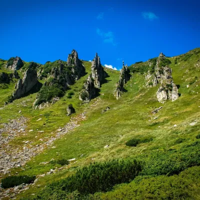 10 Carpathian routes from rescuersIf you want to get an unforgettable experience in the Carpathians, we recommend planning hiking on the following routes:Chornohora...
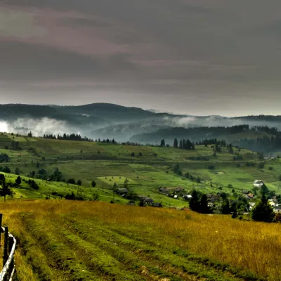 The Carpathian Mountains are a large mountain system in Central and Eastern EuropeTheUkrainian Carpathians are part of the Carpathian mountain system in western Ukraine. They are 280 km long from the headwaters of the...
