Tourist Lost in Chornohora, Rescuers Helped
Karpaty.Rocks1 min read 25

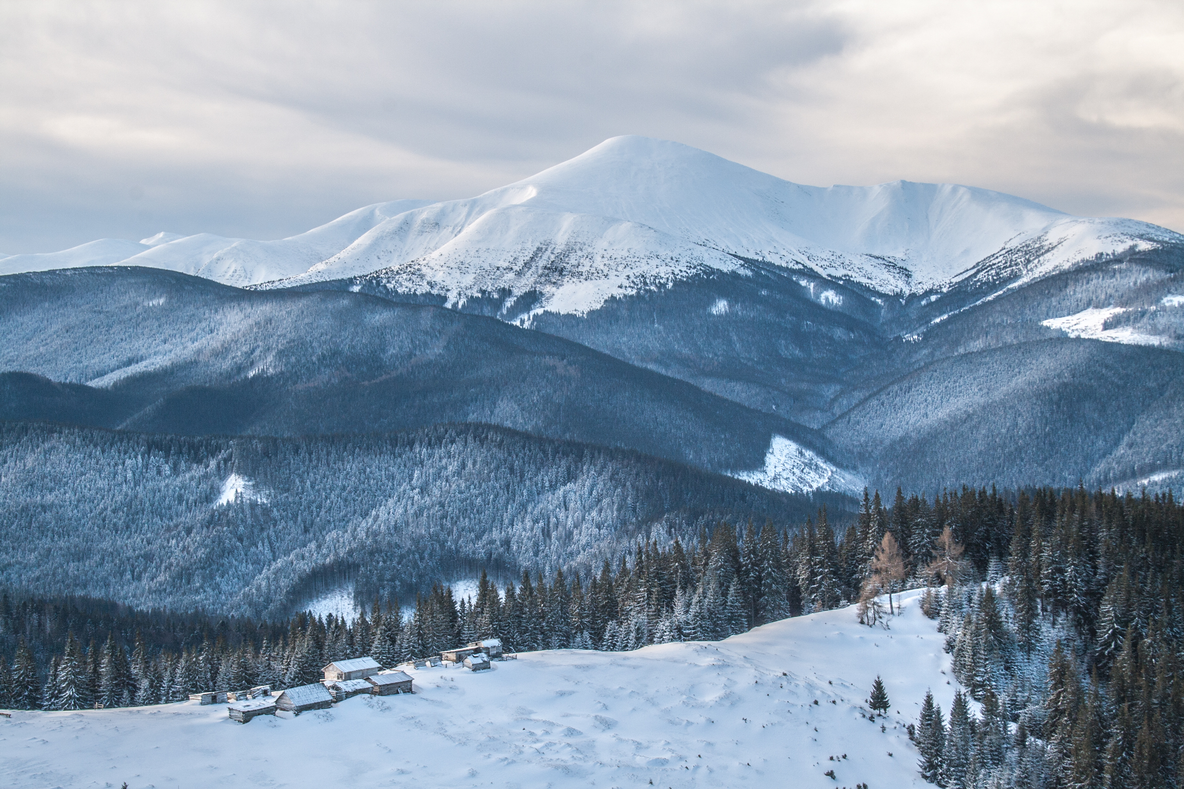
A tourist got lost in thick fog on Chornohora.
What we know
He contacted the rescue post between Petros and Hoverla. Volunteers provided him with assistance, warmed him up, and fed him. At 3:00 PM, the man was taken to Rakhiv.
The tourist was traveling alone and felt exhausted. His shoes were damaged during the crossing.
Practical information
- Mountain rescue: 101 or 112. Before heading into the mountains, check the forecast, tell someone your route and return time, and take a charged phone and a power bank.
About the place
Hoverla is the highest peak in Ukraine, at 2061 m.
Nearby
- Mount Breskul — 1.3 km
- Polonyna Pozhizhevska — 2.7 km
- Mount Turkul — 4.6 km
- High-mountainous Lake Nesamovite — 5.1 km
- Mount Petros — 6 km
Getting there
- Mount Hoverla — directions on Google Maps
- Nearest railway station: Вороненко (≈ 13 km)
Based on reports by: Мукачево.net.
Comments
Places from the article
 LakeHigh-mountainous Lake Nesamovite (1750 m.a.s.l., Chornohora ridge)VorokhtaNesamovyte is one of the highest lakes in the Ukrainian Carpathians (1750 m above sea level).
 PeakMount BreskulBystretsaltitude 1 911 m · Chornohora range80 trails to the topBreskul (another name for the mountain is Bretskul), 1911 meters high, is a famous mountain peak in the Ukrainian...
 PeakMount HoverlaVorokhtaaltitude 2 061 m · Chornohora range109 trails to the topHoverla (2061 m) is the highest mountain in Ukraine, in the Chornohora range on the border of the Ivano-Frankivsk and...
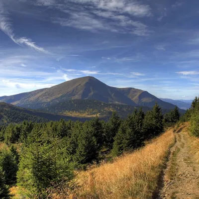 PeakMount PetrosYasinyaaltitude 2 020 m · Chornohora range92 trails to the topPetros (2020 m) is the fourth highest mountain in Ukraine, in the north-western part of Chornohora in Zakarpattia.
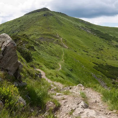 PeakMount TurkulBystretsaltitude 1 933 m · Chornohora range93 trails to the topTurkul, 1933 meters high, is one of the peaks of the Ukrainian Carpathians, located in the Chornohora mountain range.
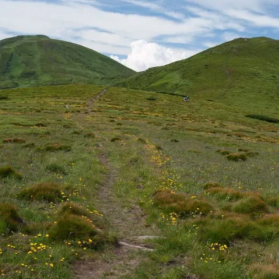 Mountain meadow1 500 mPolonyna Pozhizhevska (Pozhizhevskaya)Nadvirna districtPolonyna lies at an altitude of 1382-1822 meters. The Pozhyzhevska meadow lies at the foot of the mountain of the...
Where to stay nearby
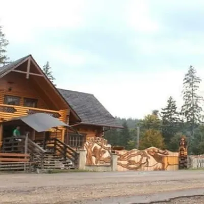 HotelBiia HoverlyVorokhtaBBQParkingWi‑Fifrom 1 320 UAH per night
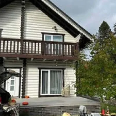 HotelChalet GaliciaVorokhtaBBQParkingWi‑Fifrom 8 500 UAH per night
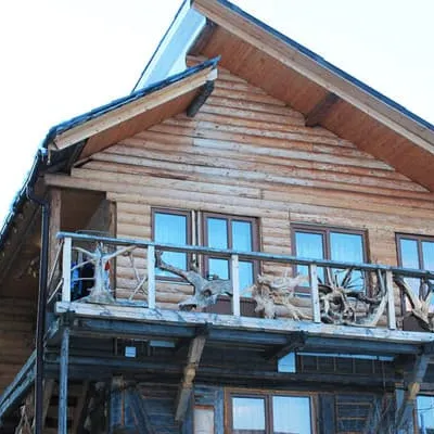 HotelU KumaLazeshchynaBBQParkingWi‑Fifrom 990 UAH per night
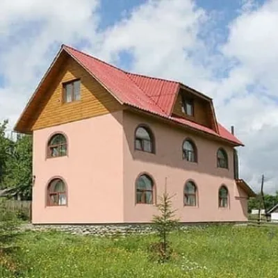 CottageMiroslavaLazeshchynaSaunaBBQParkingfrom 4 280 UAH per night
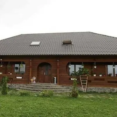 HotelPid Vukhatym KamenemDzembroniaHot tubBBQParkingfrom 1 210 UAH per night
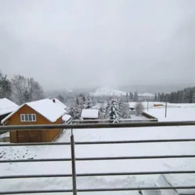 HotelBukov'yanVerkhovynaSaunaBBQParkingfrom 2 070 UAH per night
Trails nearby
 EasyOne-dayZaroslyak base Lake NesamovyteElevation profile1 262–1 747 m7.6 kmascent 69 m≈ 2 h walking
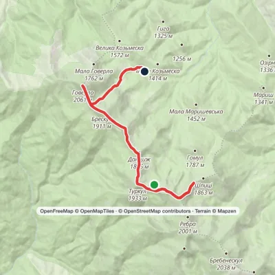 ModerateTwo-dayLake Nesamovyte to Zaroslyak basevia Mount Shpytsi, Mount Hoverla +1Elevation profile1 285–2 061 m14.4 kmascent 886 m≈ 5.5 h walking
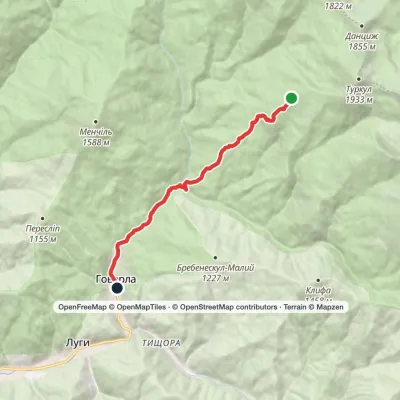 EasyOne-dayMarkedTurkulska polonyna Hoverla villageElevation profile672–1 541 m8.5 kmascent 17 m≈ 2 h walking
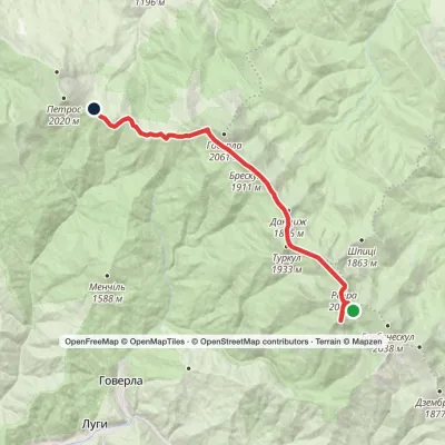 ModerateTwo-dayLake Brebeneskul to Holovcheska polonynavia Mount Hutyn Tomnatyk, Mount Rebra +1Elevation profile1 518–2 016 m16.3 kmascent 623 m≈ 5.5 h walking
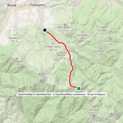 EasyOne-dayMarkedMount Hoverla KozmeshchykElevation profile749–2 061 m12.3 kmascent 14 m≈ 3 h walking
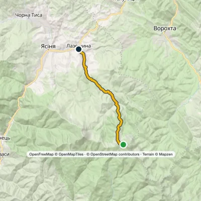 ModerateTwo-dayMarkedLazeshchyna Mount HoverlaElevation profile717–1 848 m16.5 kmascent 15 m≈ 4 h walking
You may also be interested in
All articles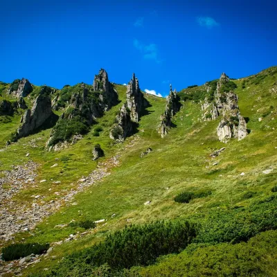 10 Carpathian routes from rescuersIf you want to get an unforgettable experience in the Carpathians, we recommend planning hiking on the following routes:Chornohora...
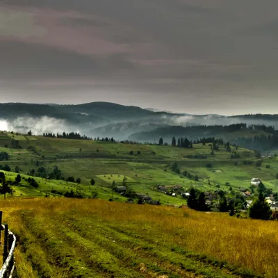 The Carpathian Mountains are a large mountain system in Central and Eastern EuropeTheUkrainian Carpathians are part of the Carpathian mountain system in western Ukraine. They are 280 km long from the headwaters of the...
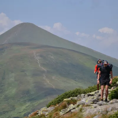 Route to Hoverla from the Zaroslyak baseOne of the most picturesque places in the Ukrainian Carpathians is undoubtedly the Chornohora range, with the highest peak in our country...
