Veľká Lodina
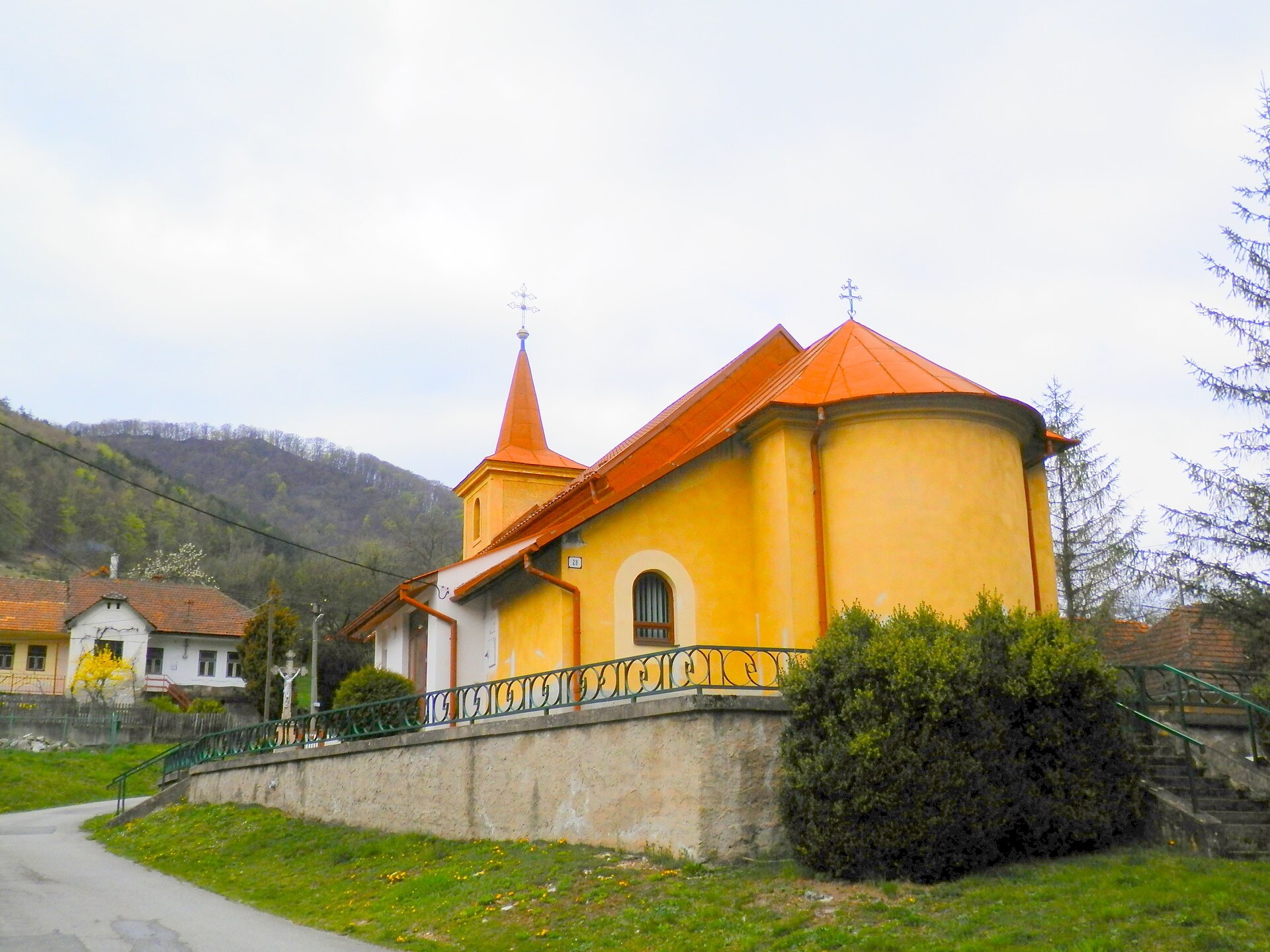
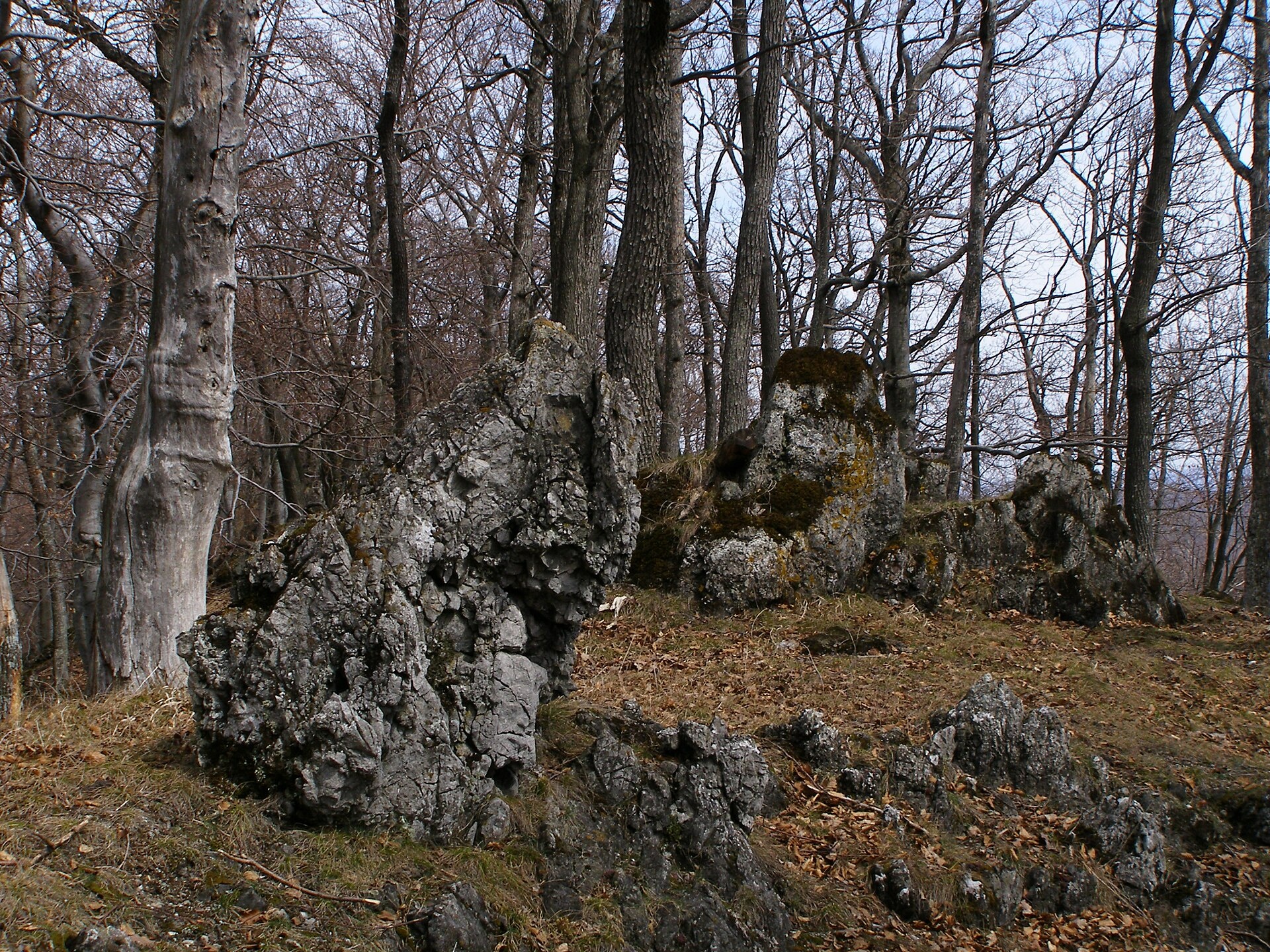
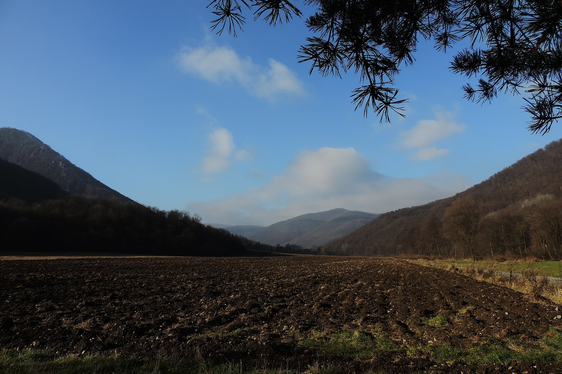
Photos: Ing.Mgr.Jozef Kotulič, CC BY-SA 4.0 (Wikimedia Commons); Jan Starec, CC BY-SA 3.0 (Wikimedia Commons); Jan Starec, CC BY-SA 3.0 (Wikimedia Commons)
Veľká Lodina is a village in Slovakia.
Elevation: about 255 m above sea level. Population: 326 (2025). Mountains nearby: Slovak Ore Mountains.
Here and nearby on the site: 1 trail.
Facts: Wikidata, OpenStreetMap. More on Wikipedia
Trails nearby
All trails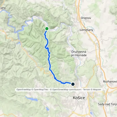 ModerateTwo-dayMarkedKošice, Čermeľ Veľká LodinaElevation profile241–824 m19.1 kmascent 626 m≈ 6 h walkingunder 1 km from the centre
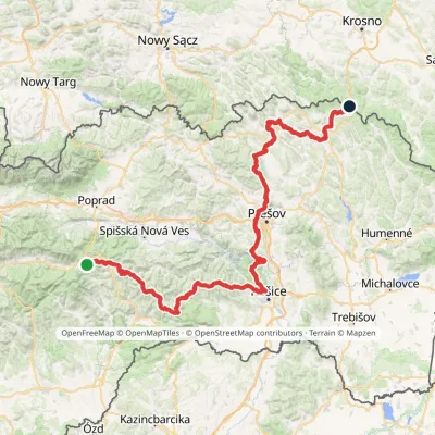 HardMulti-dayMarkedPred Čuntavou Dukliansky PassElevation profile227–1 293 m280.7 kmascent 8 346 m2 km from the centre
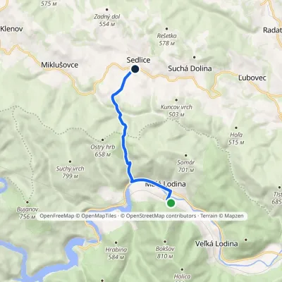 EasyOne-dayMarkedMalá Lodina SedliceElevation profile262–586 m6.9 kmascent 362 m≈ 2.5 h walking2.3 km from the centre
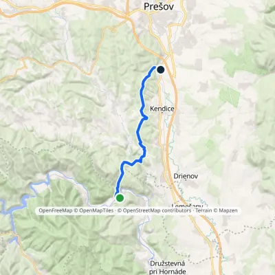 ModerateOne-dayMarkedHaniska pri Prešove Brezie, youth campElevation profile231–472 m15.9 kmascent 438 m≈ 5 h walking2.5 km from the centre
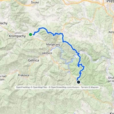 HardMulti-dayMarkedRichnava, stop Košická BeláElevation profile277–1 028 m35.9 kmascent 1 446 m≈ 12 h walking2.7 km from the centre
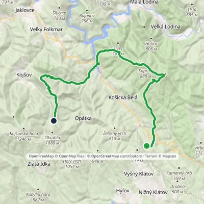 HardMulti-dayMarkedSaddle under Suchý vrch Hut on JahodnáElevation profile325–898 m28.8 kmascent 1 176 m≈ 9.5 h walking3.5 km from the centre
Peaks nearby
All peaks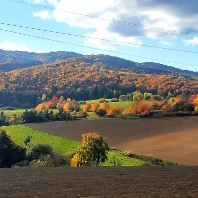 PeakRoháčkaMargecanyaltitude 1 028 m13 km from the centreRoháčka is the highest summit of the Čierna hora hills, one of the units of the Slovak Ore Mountains in eastern Slovakia.
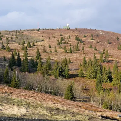 PeakKojšovská hoľaKojšovaltitude 1 246 m15 km from the centreKojšovská hoľa (colloquially Kojšovka; German Koischdorfer Höhe, Hungarian Kojsói-tető) is a 1,246 m mountain in the Volovské vrchy, part of the Slovak Ore Mountains...
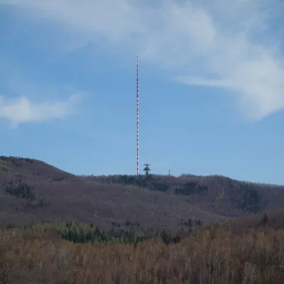 PeakDubníkZlatá Baňaaltitude 874 m23 km from the centreDubník is a forested 874 m hill in the northern half of the Slanské vrchy in eastern Slovakia, in the Šimonka subunit.
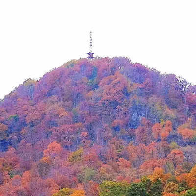 PeakStrážFinticealtitude 740 m24 km from the centreStráž (also Veľká Stráž) is a forested 740 m hill of volcanic origin in the Spiš-Šariš Intermountain (Spišsko-šarišské medzihorie) in eastern Slovakia.
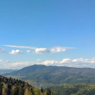 PeakSľubicaSlatvinaaltitude 1 129 m24 km from the centreSľubica is a 1129 m summit in the Branisko mountains of eastern Slovakia, the third highest of the range and the highest in its southern part, which bears the same name.
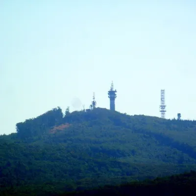 PeakMakovicaKecerovský Lipovecaltitude 981 m25 km from the centreMakovica is a 981 m summit in the central part of the Slanské vrchy in eastern Slovakia, in the subunit that bears the same name.
What to visit
All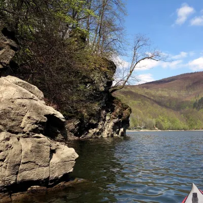 LakeRužín reservoir on the HornádMalá Lodina5.2 km from the centreRužín is a reservoir on the Hornád river in the deep, winding valley of the Čierna hora hills, the north-eastern part of the Slovak Ore Mountains, a dozen or so...
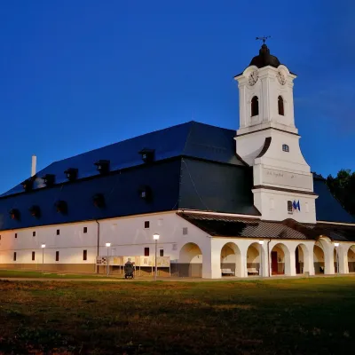 MuseumSolivar Museum, Prešov — historic salt worksPrešov16 km from the centreThe Solivar Museum (STM – Múzeum Solivar v Prešove) is a branch of the Slovak Technical Museum in Košice, housed in the historic salt works on the south-eastern edge...
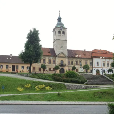 MuseumMining Museum in Gelnica and the Jozef AditGelnica16 km from the centreThe Mining Museum in Gelnica (Banícke múzeum v Gelnici) is the town museum of an old mining town in the Hnilec valley, among the Volovské vrchy, part of the Slovak Ore...
 Crafts & workshopsMacák Pottery on Košice’s Craft Lane: ceramics and coursesHrašovík17 km from the centreHrnčiarska Street in Košice old town is known as the "Craft Lane" (Ulička remesiel): craftspeople work in small houses below the walls of the former town fortifications.
 Craft beer & breweriesHerrenwald craft brewery, Malá Ida: tour with the brewerMalá Ida20 km from the centreThe Herrenwald brewery stands in its Panský les ("Lords’ Wood") quarter, from whose German name it takes its own.
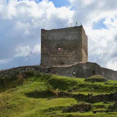 CastleŠariš Castle near PrešovVeľký Šariš21 km from the centreŠariš Castle (Šarišský hrad) is one of the largest medieval fortresses in Slovakia: its built-up area exceeds 2.7 ha.
Craft nearby
All craft places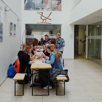
Huts, shelters and springs nearby
Getting there from Ukraine
Border crossings
- Uzhhorod – Vyšné Nemecké — road, 24/7
- Malyi Bereznyi – Ubľa — road, 24/7 For cars and buses; pedestrians not confirmed by the Ukrainian border service, lorries up to 3.5 t.
- Mali Selmentsi – Veľké Slemence (pedestrian) — pedestrian, 09:00–21:00 Kyiv time Pedestrians and cyclists only; inconvenient for the Tatras without onward transport.
- Chop – Čierna nad Tisou (rail) — rail, 24/7
By car
From Uzhhorod ≈182 km, ≈2 h 45 min without queues: Uzhhorod – Vyšné Nemecké → I/19 via Sobrance and Michalovce to Košice → D1 motorway via Prešov to the exit near Levoča → road 533 to Spišská Nová Ves (≈177 km, ≈2 h 30 min from the border). From Lviv via Uzhok and Ubľa ≈407 km, ≈6 h 40 min; through Poland (Kraków – Nowy Targ) ≈496 km, ≈6 h 20 min. The D1 requires an e-vignette (eznamka.sk).
Checked 23.10.2026; border crossing hours and timetables change — check before you travel.
