Váh River
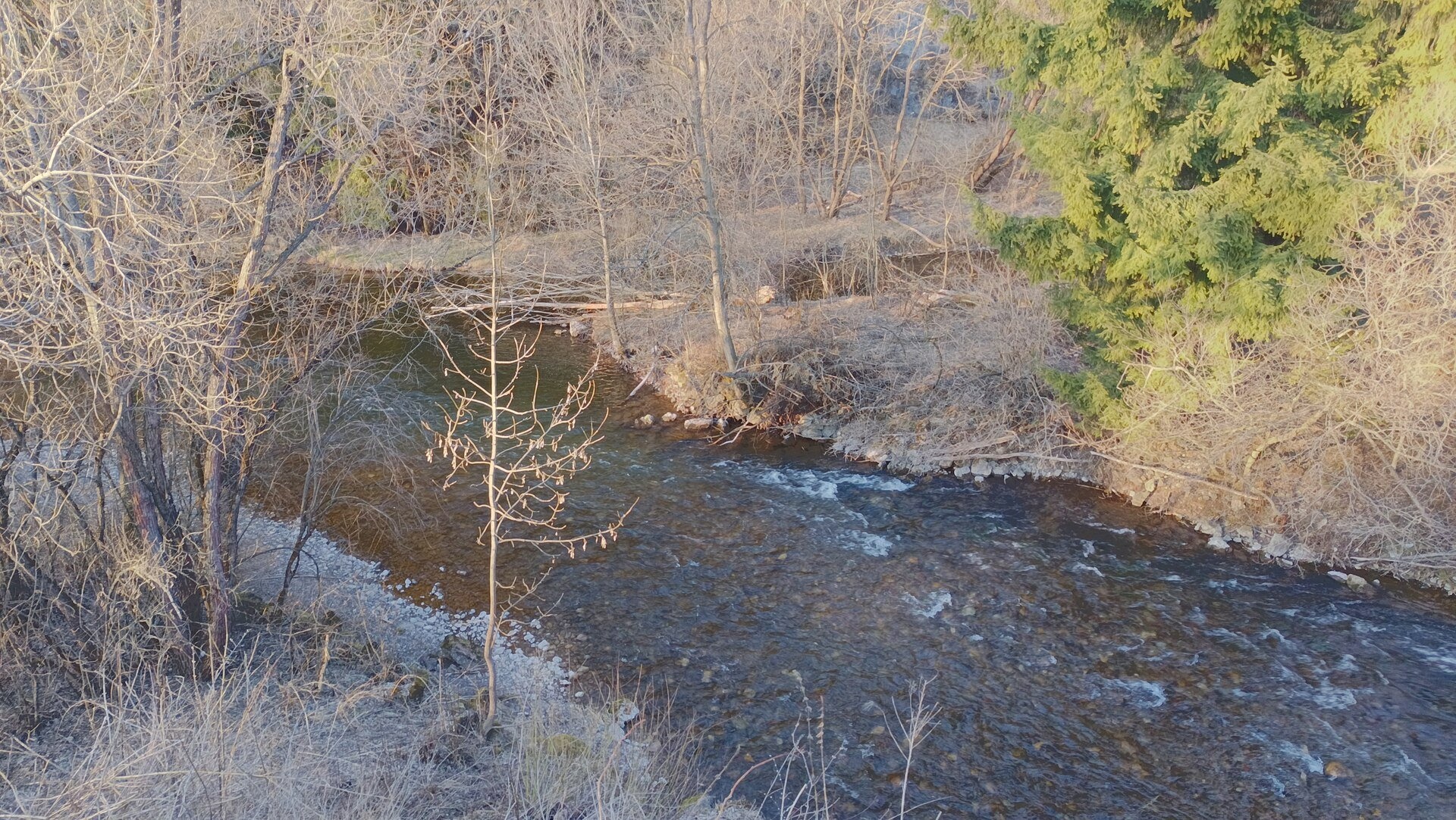
The Váh is Slovakia's longest river and a left-bank tributary of the Danube. It is 403 km long with a basin of 10,640 km² (figures given by the Polish and Ukrainian encyclopaedias; other sources count length and area differently). The Váh lies entirely in Slovakia: from the Tatras it flows west through Liptov, turns south at Žilina, crosses the Považie region and joins the Danube at Komárno at 106.5 m. For the Carpathians the Váh is the main axis: its upper and middle course cuts through the Low Tatras and the Veľká and Malá Fatra, and the country's main road and railway follow its valley.
The course: from source to mouth
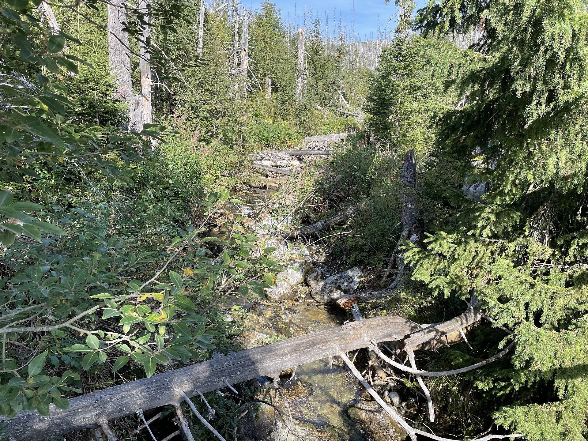
The Váh is formed near Kráľova Lehota at about 664 m by the confluence of two rivers. The Biely Váh (White Váh, 30 km) rises on the southern slopes of Kriváň in the Važecká valley of the High Tatras; during snowmelt it is fed by Krivánske Zelené pleso. The longer Čierny Váh (Black Váh, 39 km), counted in the river's total length, rises at about 1,680 m on the north-north-western slope of Kráľova hoľa in the Low Tatras and flows through Liptov's longest valley between the Low Tatras and the Kozie chrbty.
The Váh then flows west through the wide Liptov Basin. In Liptovský Hrádok it takes in the Belá, passes Liptovský Mikuláš and spreads into the Liptovská Mara reservoir. Below lies the Bešeňová compensation reservoir, then Ružomberok, where the Revúca joins from the left. Through a narrow valley the river leaves Liptov, cuts through the Veľká Fatra and at Kraľovany receives its largest tributary, the Orava. At the confluence the Orava looks wider, but the Váh carries more water: 40.9 m³/s against 35.6 m³/s. Past the Krpeľany reservoir and Vrútky (where the Turiec joins), the Váh cuts the Malá Fatra in the Strečno gorge and beyond Strečno enters the Žilina Basin. At Žilina it receives the Kysuca and Rajčanka, turns south-west and flows through Považie past Považská Bystrica, Púchov and Trenčín to the Danube lowland. The river has a cascade of 22 dams and hydroelectric plants, from Liptovská Mara to Madunice.
What to see along the river
- Liptovská Mara — Slovakia's second-largest reservoir by volume (1965–1975, 362 million m³); 13 villages were flooded and more than 4,000 people resettled.
- Havránok Archaeological Open-Air Museum, Liptovská Mara — an archaeological open-air museum on the reservoir shore.
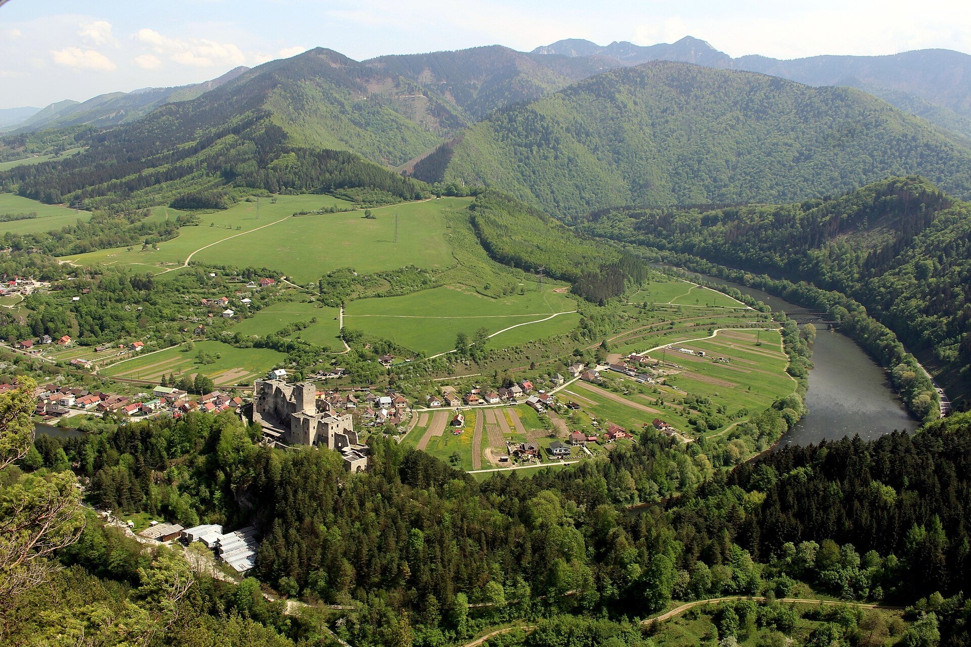
- Strečno Castle — a castle above the Váh at the entrance to the gorge.
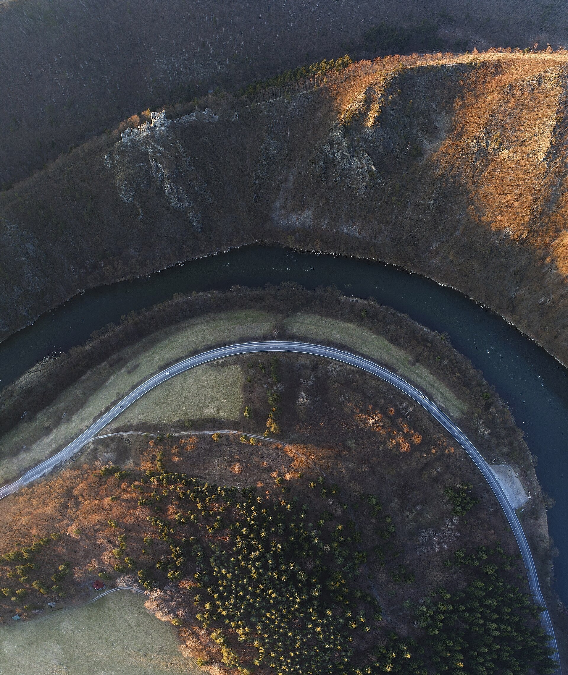
- Starý hrad (Old Castle) — ruins above the Domašín meander.
- Budatín Castle — Považie Museum and Tinkers' Exhibition — in Žilina near the mouth of the Kysuca.
On the water: rafting and kayaking
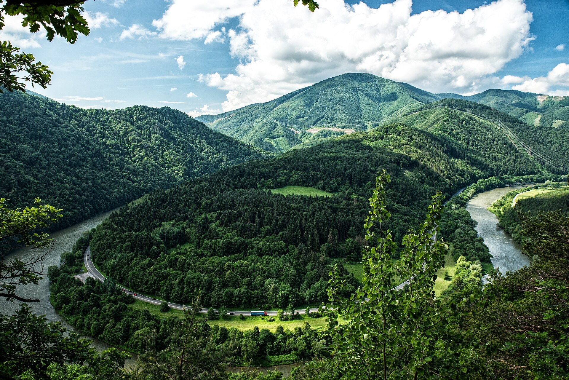
The Váh has long been a raftsmen's route, and its most dangerous spot was the Domašín meander with the rocks Margita and Besná — their names are borne by Ján Botto's poem «Margita a Besná»; the rocks were later blasted away. Today the tradition is revived by the First Raft and Rafting Company (Prvá pltnícka a raftingová spoločnosť) in Strečno: in 2026 it opened its 28th season, with rafts running from April to the end of October. The roughly 7 km route starts at the Bariérová landing, passes four meanders of the Váh, the Margita and Besná rocks and runs below both Strečno castles. For kayaks the Váh is navigable from Kráľova Lehota; the finest stretches are in Liptov and near Žilina, while trips on the lower course are not recommended because of the dams. Liptovský Mikuláš has a whitewater slalom course with four channels, the traditional venue of the Tatra Slalom.
Nature and safety
The Domašín meander is a natural monument (since 1978, 80.4 ha) in the buffer zone of Malá Fatra National Park; here the river cut into mountains that were rising at the end of the Tertiary — a landform unique in the Western Carpathians. The headwaters of the Biely Váh lie in the Tatra National Park, where you may walk only on marked trails and swimming in the lakes is forbidden. The Váh is known for devastating floods: in 1813 the water ravaged 50 villages between Žilina and Sereď and at least 243 people died; there was also a great flood in 1958. The cascade of dams has greatly reduced the danger since then, but the level in the bed changes with water releases. Emergency numbers: 112, in the mountains HZS 18 300.
Nearby: peaks, trails, huts
Both branches rise below summits: the Biely Váh below Kriváň, the Čierny Váh below Kráľova hoľa. Above the Strečno gorge rises Veľký Kriváň, the highest summit of the Malá Fatra, and the ridge trail Kľak – Trstená passes Starý hrad.
Photos: Fedo1975, CC BY-SA 4.0, Wikimedia Commons; Branislav Knappek branci, CC0, Wikimedia Commons; Juloml, CC BY-SA 4.0, Wikimedia Commons; MarkBA, CC BY-SA 4.0, Wikimedia Commons; Fry72 (Karel Frydrýšek), CC BY-SA 4.0, Wikimedia Commons.
Getting there from Ukraine
Border crossings
- Uzhhorod – Vyšné Nemecké — road, 24/7
- Malyi Bereznyi – Ubľa — road, 24/7 For cars and buses; pedestrians not confirmed by the Ukrainian border service, lorries up to 3.5 t.
- Mali Selmentsi – Veľké Slemence (pedestrian) — pedestrian, 09:00–21:00 Kyiv time Pedestrians and cyclists only; inconvenient for the Tatras without onward transport.
- Chop – Čierna nad Tisou (rail) — rail, 24/7
By car
From Uzhhorod to Žilina ≈330 km, ≈4 h 20 min without queues: Uzhhorod – Vyšné Nemecké → I/19 to Košice → D1 via Prešov, Poprad, Liptovský Mikuláš and Ružomberok (≈17 km on I/18 between D1 sections) → Žilina. To Terchová ≈314 km, ≈4 h 15 min: from the D1 onto I/70 and II/583. From Lviv through Poland: M-10 → Krakovets – Korczowa → A4 to Kraków → S7/DK7 to Chyżne – Trstená → R3, I/59 to Dolný Kubín → II/583 via Terchová to Žilina: to Terchová ≈493 km (≈6 h 30 min), to Žilina ≈518 km (≈7 h). Via the tolled A4 Kraków – Katowice, S1 and D3: ≈533 km, ≈6 h 35 min. The D1 requires an e-vignette (eznamka.sk).
Checked 23.10.2026; border crossing hours and timetables change — check before you travel.
Location on the map
Comments
Trails nearby
All trails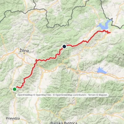 HardMulti-dayMarkedKľak TrstenáElevation profile354–1 668 m119.6 kmascent 7 565 munder 1 km from Váh River
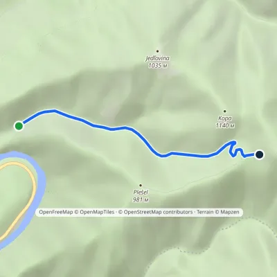 EasyOne-dayMarkedChata pod Suchým PodhradskéElevation profile451–1 069 m3.7 kmascent 619 m≈ 2 h walkingunder 1 km from Váh River
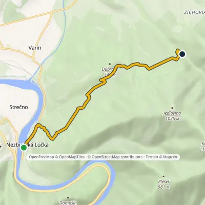 EasyOne-dayMarkedNezbudská Lúčka Dolina KúrElevation profile355–584 m6.2 kmascent 245 m≈ 2 h walking1.1 km from Váh River
Nearby attractions
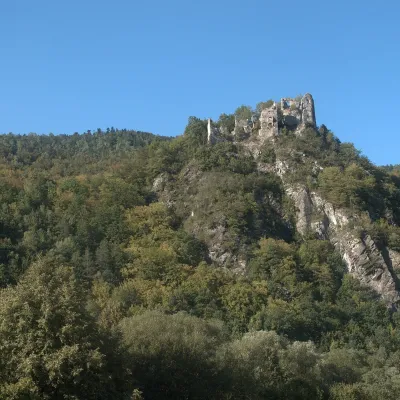 CastleStarý hrad (Old Castle)Nezbudská Lúčkaunder 1 km from Váh RiverStarý hrad (Old Castle), known locally as Starhrad and in the past as Varín (Warna), is the ruin of a medieval castle on a granite crag on the right bank of the Váh,...
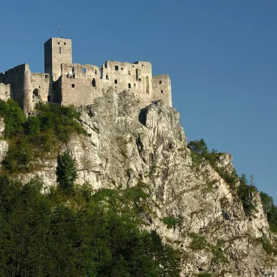 CastleStrečno CastleStrečno2 km from Váh RiverThe castle guarding the gate of the Malá Fatra Strečno Castle (Hrad Strečno) stands on a 103 m limestone crag above the River Váh, 11 km from Žilina on the road to...
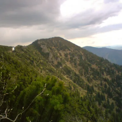 PeakSuchýKrasňanyaltitude 1 468 m4.9 km from Váh River1 trail to the topSuchý (formerly Suchý Uplaz) is a 1468 m summit in the Lesser Fatra (Malá Fatra) in Slovakia and one of the most distinctive in its Kriváň part.
Craft nearby
All craft places Cheese dairies & pasturesFarma Brezany near Žilina: hand-stretched cheese and a distilleryBrezany16 km from Váh RiverBrezany is a village a few kilometres south of Žilina, on the edge of the Žilina basin and the foothills leading towards the Rajec valley and the Strážov Hills.
 Water parks & thermal poolsSpa Aphrodite thermal pools, Rajecké TepliceRajecké Teplice16 km from Váh RiverHot mineral water rises here, and it feeds the Spa Aphrodite resort, whose thermal pools, saunas and Natural Spa zone are open not only to patients but to anyone with...
 Cheese dairies & pasturesSalaš Syrex in Zázrivá — Home of the Zázrivá Korbáčik CheeseZázrivá18 km from Váh RiverZázrivá is a scattered mountain village on the border of Orava and the Malá Fatra, famous throughout Slovakia for its korbáčiky: thin strings of steamed cheese braided...
 Cheese dairies & pasturesSalaš Krajinka near RužomberokRužomberok26 km from Váh RiverSalaš Krajinka is a genuine sheep farm on the edge of Ružomberok in lower Liptov. It was founded in 1983 to keep a thousand sheep, and the owners have deliberately...
 Craft beer & breweriesURSUS craft brewery, Čutkovská valleyRužomberok29 km from Váh RiverURSUS craft brewery (Remeselný pivovar URSUS) is the first brewery of the town of Ružomberok, tucked away in the picturesque Čutkovská valley in lower Liptov.
 Cheese dairies & pasturesRaková farm in Kysuce: bryndza, žinčica and cheese cakesRaková31 km from Váh RiverKysuce is a hilly region in north-western Slovakia, near the Polish and Czech borders, with scattered hillside hamlets (“kopanice”) and an old tradition of keeping...
