Trstín
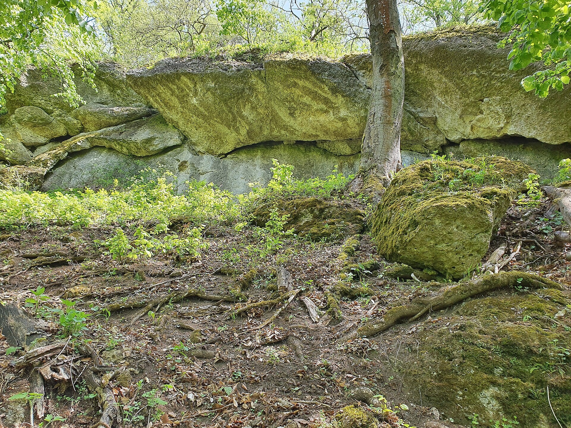
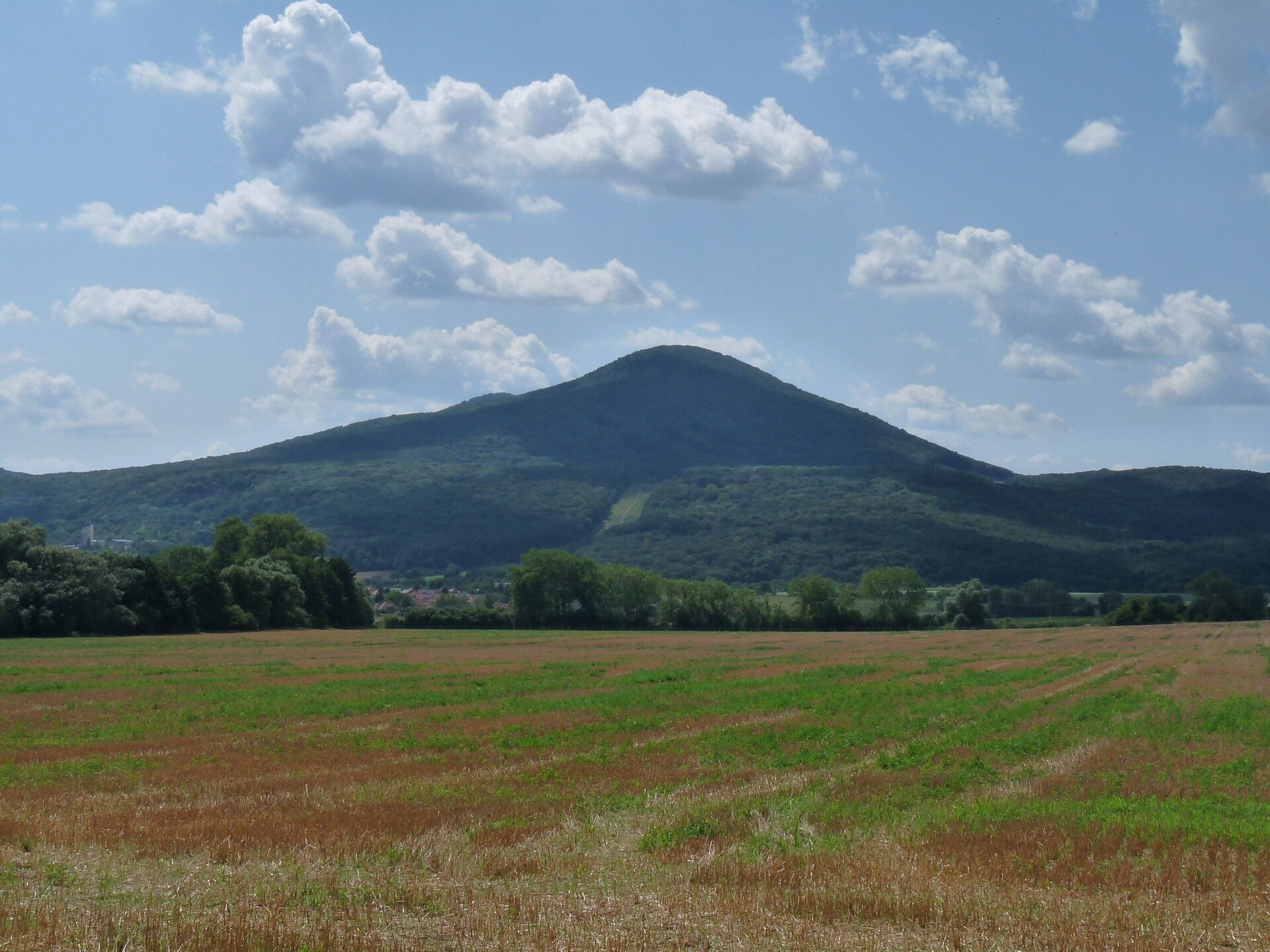
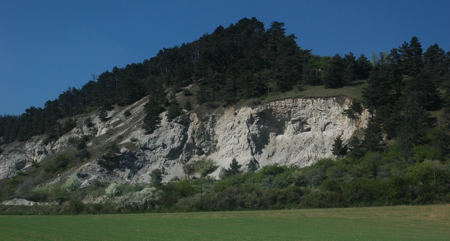
Photos: Akul59, CC BY-SA 4.0 (Wikimedia Commons); Akul59, CC BY-SA 4.0 (Wikimedia Commons); Stanislav Doronenko, CC BY 2.5 (Wikimedia Commons)
Trstín is a village in Slovakia.
Elevation: about 236 m above sea level. Population: 1,370 (2025). Mountains nearby: Little Carpathians.
Here and nearby on the site: 1 trail.
Facts: Wikidata, OpenStreetMap. More on Wikipedia
What's nearby
Trails nearby
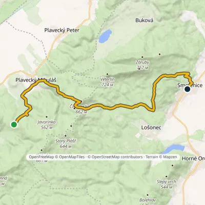
All trails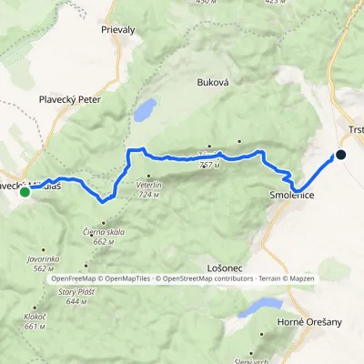 ModerateOne-dayMarkedPlavecký Mikuláš Smolenice, stationElevation profile207–651 m15.7 kmascent 552 m≈ 5 h walkingunder 1 km from the centre
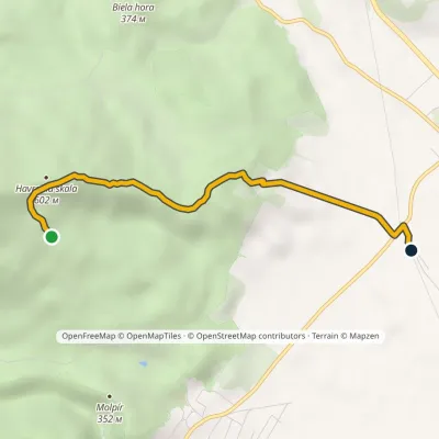 EasyOne-dayMarkedSmolenice, station Havrania skala, junctionElevation profile208–602 m3.9 kmascent 99 m≈ 1 h walkingunder 1 km from the centre
 ModerateTwo-dayMarkedSedlo Báborská SmoleniceElevation profile228–660 m18.4 kmascent 577 m≈ 6 h walking2.9 km from the centre
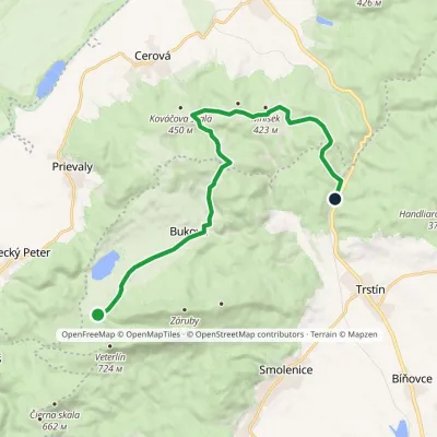 ModerateOne-dayMarkedBrezinky, hut Buková, stopElevation profile243–424 m15.2 kmascent 276 m≈ 4.5 h walking2.9 km from the centre
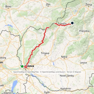 HardMulti-dayMarkedHrad Devín, parking Horná Poruba, U BrdárovElevation profile146–965 m190.1 kmascent 7 200 m3 km from the centre
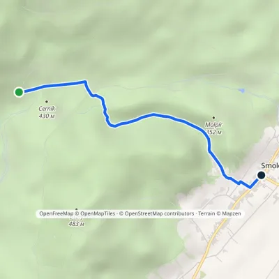 EasyOne-dayMarkedSmolenice Junction above VlčiarňouElevation profile232–442 m3 kmascent 14 m≈ 45 min walking3.5 km from the centre
Peaks nearby
All peaks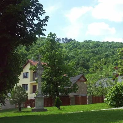 PeakMolpírSmolenicealtitude 354 m3.5 km from the centreMolpír is a low, wooded 354 m hill in the Little Carpathians (Malé Karpaty), right above the village of Smolenice in the Trnava Region of Slovakia.
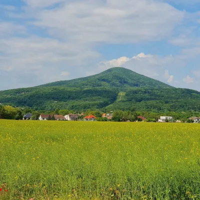 PeakHavranicaBukováaltitude 717 m4.2 km from the centreHavranica is a 717 m summit in the Little Carpathians (Malé Karpaty) in western Slovakia. It rises above the village of Smolenice, about 18 km north-west of Trnava.
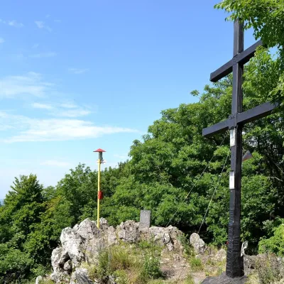 PeakZárubyBukováaltitude 767 m5.3 km from the centreZáruby (formerly also Ostrý vrch, German Scharfenstein) is the highest peak of the Little Carpathians at 767 m (some signposts say 768 m).
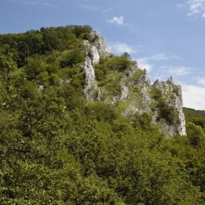 PeakVápennáSološnicaaltitude 752 m16 km from the centreVápenná (also Roštún; German Rachsthurn) is a 752 m summit and the third highest peak of the Little Carpathians.
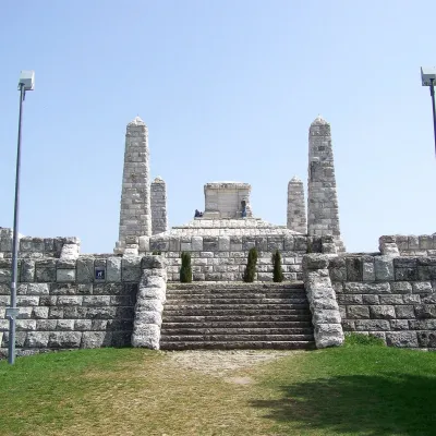 PeakBradloPriepasnéaltitude 543 m19 km from the centreBradlo (Hungarian Bradló) is a 543 m limestone summit, the highest point of the Myjava Hills (Myjavská pahorkatina) in western Slovakia.
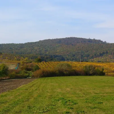 PeakKuklaDubováaltitude 564 m19 km from the centreKukla is a distinctive, solitary 564 m summit in the Little Carpathians (Malé Karpaty) in western Slovakia, in the section known as the Pezinok Carpathians.
What to visit
All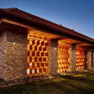 Honey & meaderiesVčelovina meadery, Smolenice: mead and honey beerSmolenice2.7 km from the centreThis is where the Včelovina meadery works — “a small production with a big heart”, as its founders put it.
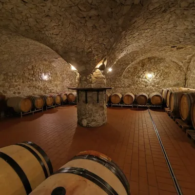 Wine & tastingsMagula Winery, Suchá nad Parnou: biodynamic wines and a farmSuchá nad Parnou12 km from the centreSuchá nad Parnou is a wine village on the south-eastern slopes of the Little Carpathians, near Trnava.
 Wine & tastingsJuran z Modry winery: tastings in a Modra wine shopModra24 km from the centreModra is one of the main wine towns of the Little Carpathians: every other courtyard has its own cellar, and rows of vines climb the slopes above the town.
Craft nearby
All craft places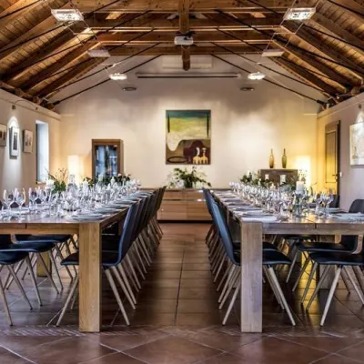 Wine & tastingsKarpatská Perla winery in Šenkvice: tastings and cellarŠenkvice26 km from the centreFrom a home cellar to Winery of the Year Šenkvice is a wine village on the plain below the eastern slopes of the Little Carpathians, between Pezinok and Modra.
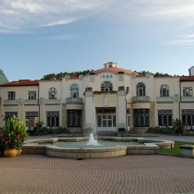 Water parks & thermal poolsPiešťany: the Spa Island, sulphur mud and thermal bathsPiešťany29 km from the centrePiešťany is Slovakia's best-known spa, spread out in the Váh valley between the Považský Inovec and the Little Carpathians.
Spas and thermal pools nearby
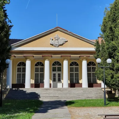 Water parks & thermal poolsSmrdáky: a hydrogen-sulphide spa for skin diseasesSmrdáky25 km from the centreSmrdáky is a small spa village in western Slovakia, on the edge of the Záhorie Lowland and the foothills of the White Carpathians, about 7 km from Senica and 80 km...Water parks & thermal poolsPiešťany: the Spa Island, sulphur mud and thermal bathsPiešťany29 km from the centrePiešťany is Slovakia's best-known spa, spread out in the Váh valley between the Považský Inovec and the Little Carpathians.
Huts, shelters and springs nearby
Getting there from Ukraine
Border crossings
- Uzhhorod – Vyšné Nemecké — road, 24/7
- Malyi Bereznyi – Ubľa — road, 24/7 For cars and buses; pedestrians not confirmed by the Ukrainian border service, lorries up to 3.5 t.
- Mali Selmentsi – Veľké Slemence (pedestrian) — pedestrian, 09:00–21:00 Kyiv time Pedestrians and cyclists only; inconvenient for the Tatras without onward transport.
- Chop – Čierna nad Tisou (rail) — rail, 24/7
By car
From Uzhhorod to Žilina ≈330 km, ≈4 h 20 min without queues: Uzhhorod – Vyšné Nemecké → I/19 to Košice → D1 via Prešov, Poprad, Liptovský Mikuláš and Ružomberok (≈17 km on I/18 between D1 sections) → Žilina. To Terchová ≈314 km, ≈4 h 15 min: from the D1 onto I/70 and II/583. From Lviv through Poland: M-10 → Krakovets – Korczowa → A4 to Kraków → S7/DK7 to Chyżne – Trstená → R3, I/59 to Dolný Kubín → II/583 via Terchová to Žilina: to Terchová ≈493 km (≈6 h 30 min), to Žilina ≈518 km (≈7 h). Via the tolled A4 Kraków – Katowice, S1 and D3: ≈533 km, ≈6 h 35 min. The D1 requires an e-vignette (eznamka.sk).
Checked 23.10.2026; border crossing hours and timetables change — check before you travel.
