Bohorodchany district
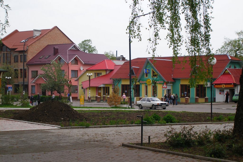
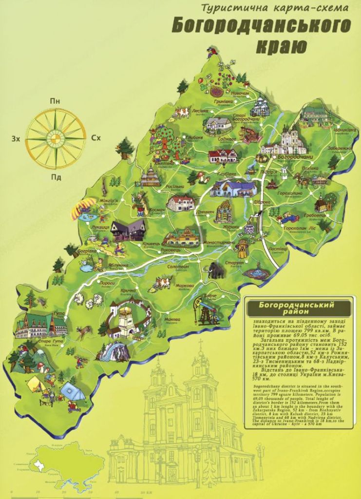
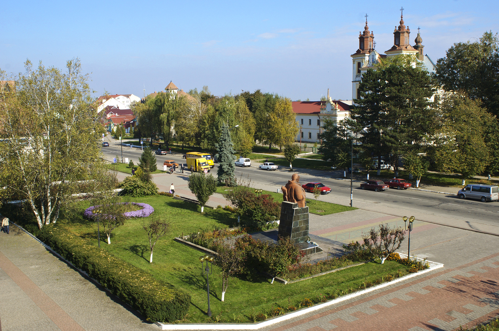
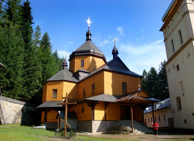
The mountainous part of the Bohorodchany district is located within the northern border of the Skibovy Carpathians and is part of the Gorgan massif. The small mountain village of Huta, which is the southernmost settlement of our district, is the gateway to the magical and fascinating world of Carpathian beauty. From Huta, or rather from Stara Huta, one- and multi-day routes to the mountain meadows, passes, steep Horhan passes and ridges begin. The highest point of the district is Mount Syvulia, which is 1818 meters high.
The district center is the town of Bohorodchany, and the main tourist locations (settlements) of the district are: Huta, Stara Huta, Kosmach, Sadzhava, Manyava, Mizhhiria, Starunia, Horokholyna.
The district is located in the center of Ivano-Frankivsk region. It borders with Tysmenytsia, Nadvirna, Rozhnyativ and Kalush districts of the region and Zakarpattia. Distance from the district center of Bohorodchany to: Ivano-Frankivsk - 22 km, Kyiv - 600 km, Warsaw - 500 km, Lviv - 150 km, Bucharest - 150 km, Berlin - 150 km.
Stara Huta is located at the headwaters of the Bystrytsia Solotvynska River at an altitude of 650 m above sea level. The village is located 60 km from the regional center and has a convenient bus service. One of the most popular hiking routes starts from here - climbing to the twin peaks Syvulia (1881 m) and Lopushna (1836 m), which are the highest points of the Gorgan Mountains. These peaks are covered with stone placers that stretch steeply for hundreds of meters down. The length of the route is 39 km from the bus stop in the village of Huty. The height difference is 1200 meters. The route passes near the picturesque waterfalls in the Zholob tract and the Peklo tract, where the Bystrytsia Nadvirnianska river begins. At the top of Syvulia there is a concrete pillar with the cardinal points marked on the stones. Then the trail leads to Mount Lopushna (1836m), which is no more than a kilometer away.
No less interesting for hiking is the Vatahiv Ridge, which is adjacent to the Syvulsky Ridge, which begins in the Osmolodska side and ends in the vicinity of Huta with the picturesque peaks Vysoka (1803m) and Igrovets (1804m). Here, the rocky sea of the mystical Igrovyshche tract, full of legends about the dead unbaptized souls of children who found refuge here, beats without finding shores. The route runs along a tributary of the Bystrytsia Lopushna, through picturesque meadows with excellent mushroom picking sites and the Pohar meadow, which starts the ascent to the top of Igrovets. The length of the route is 34 km.
For groups of schoolchildren and less prepared hikers, it will be interesting to hike from Huta to the highest waterfall in the Carpathians, the Manyava Waterfall, via the Chortka Ridge. The described routes do not require any special equipment and will be within the reach of even untrained tourists.
Car (bicycle) route through the places of the liberation struggle "Insurgent trails"
- Bohordchany village (the graves of Blahyi, Shum, Dovbush in the cemetery, a memorial plaque to Theodore Martynets, a stone sign to the fighters for the freedom of Ukraine opposite the former NKVD building);
- Hrabivtsi village (memorial estate of UPA Major Kostiantyn Peter);
- Dzvyniach village (battlefield, the place of death of UPA Colonel Gregot-Rizun);
- Lesivka village (the place of battles and mass burial of the rebels of Rizun's kuren, who died in battles with the Red Broom units);
- thevillage of Stari Bohorodchany (the grave of the rebels).
Weekend tour "Magic colors of autumn"
Short-term, one-day educational and recreational tours, or "Weekend" tours, have gained popularity among visitors and residents of the district. During such tours, participants have the opportunity to get acquainted with the historical, cultural and unique natural sites located in the Bohorodchany district. In addition, the tours provide an opportunity to meet interesting, talented people, masters of folk and crafts, and artists living in the district.
We offer you one of these tours. The route: Bohorodchany - Manyava - Lukvytsia - Bohorodchany.
The tour starts with a bus tour of the district's settlements (villages of Pidhiria, Dzvyniach, Solotvyn, Markova). During this trip, experienced guides will introduce the historical and geographical features of these settlements.
- Excursion to the Maniavsky Skete and the "Blessed Stone". Tourists have the opportunity to visit the seventeenth-century architectural monument, join in prayer, and get acquainted with the unique "Blessed Stone" created by nature itself, which, according to an ancient legend, heals the souls and bodies of believers.
- Transfer of the tour participants to the village of Lukvytsia. Acquaintance with the work of the village craftswoman Mrs. Hanna Krasiy (painting, artistic satin stitch embroidery, baking wedding loaves).
- Acquaintance of the tour participants with the Plast camp "Chota Krylatykh" and its commandant, Mr. Stepan Krasilych. This camp is located in a wonderful place. Campers can choose from boating, paragliding, and horseback riding.
- The "Evening Campfire" invites all tour participants to taste dishes typical of the area. The program includes competitive games, quizzes, and surprises.
- Return to the village of Bohorodchany.
Sadzhava Folk Museum of Ethnography and Life
The museum is located in the village of Sadzhava. The museum is organized by the director of the local school Vasyl Moroz. Ten spacious rooms contain the entire history of Sadzhava, from the time the village was founded to the present day. The museum has more than three thousand exhibits. It is interesting to look at all the things and compare them with their current counterparts. The interesting thing is that all the exhibits are original. There are towels dating back to the end of the last century, a baby cradle from 1900, a door from 1840 made without a single nail, and a walker from 1879. Another of the most interesting and ancient exhibits of the museum is a carved cross. Such crosses were mounted above the window. Before there were icons, people prayed to them, and they were passed down from generation to generation as a great family heirloom.
The address of the museum is Shkilna Street, Sadzhava village, Bohorodchany district, Ivano-Frankivsk region, Ukraine, 77717, contact phone number: +38 (03471) 37234.
Solotvyno branch of the local history museum
The Solotvyno Museum of Local Lore was founded in 1958 by local historian O.A. Fedanko (1898-1983), who collected hundreds of interesting exhibits on the archeology of the region, numismatics, ethnography, life and crafts. The museum's address is 4 Hrushevskoho St., Solotvyno village, Bohorodchany district, Ivano-Frankivsk region, Ukraine, 77753.
Created by the public organization "Our House-Manyava", which was formed on the initiative of students and pupils of the village of Manyava. The museum has an educational and environmental purpose, its activities are aimed at preserving the brown bear species in the Carpathians. The museum's address is Maniava village, Bohorodchany district, Ivano-Frankivsk region, Ukraine, 77772.
Ecological tourism
Bohorodchany district is home to a number of nature reserve sites. The main and most attractive of them for the development of ecotourism:
- Forest reserve of national importance "Skit Manyavsky". The total area is 362 hectares, located on the territory of the Manyavske forestry.
- Dibrova State Botanical Dendrological Park. The total area is 8 hectares, located on the territory of Bohorodchany forestry.
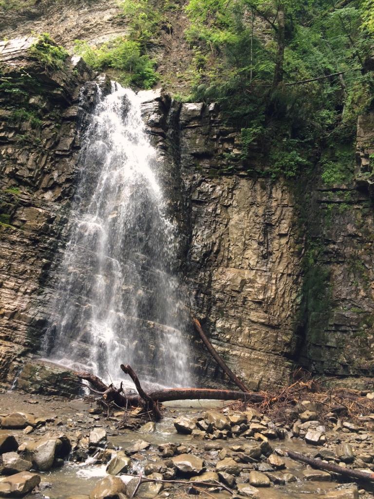
- Hydrological natural monument of local importance "Manyavsky waterfall". The total area is 1.0 hectares, the water fall height is 16 meters. It is located on the territory of Manyava forestry.
- Forest reserve of local importance "Komarniki". The total area is 175 hectares, located on the territory of Manyava forestry.
- Botanical natural monument of local significance "Berry Yew". The total area is 0.01 hectares. Located on the territory of Manyava forestry.
- Botanical natural monument of local importance "Forest of giants". The total area is 2.1 hectares and is located on the territory of Yablunske forestry.
- Forest reserve of local importance "Shyvoris". The total area is 50 hectares. Located on the territory of Yablunske forestry.
- Forest reserve of local importance "Sumaryn". The total area is 185 hectares. Located on the territory of Yablunske forestry.
- Protected tract of local importance "Bystryi". The total area is 187 hectares. Located on the territory of Hutia forestry.
- Forest reserve of local importance "Pogorelets". The total area is 220 hectares. Located on the territory of Hutia forestry.
- Protected tract of local importance "Lublinets". The total area is 113 hectares. It is located on the territory of Solotvyno forestry.
- Protected tract of local importance "Mizhhirya". The total area is 207 hectares. Located on the territory of Rosilnyanske forestry.
Objects of the nature reserve fund
- Mud volcano and salt well in the village of Starunia. The Starunia volcano came to light in 1977, when an earthquake struck Romania, and its tremors were felt in Prykarpattia. At the same time, a landslide occurred on the northern outskirts of the village, creating a small valley with a lake. Since then, the volcano has not calmed down, breathing through dozens of mini-craters. Scientists have several points of view on the causes of this geological wonder. According to one hypothesis, the volcano was formed on a so-called anticline fold, a convex structure that has several faults in the earth's crust. This is why certain physicochemical processes taking place at a depth of 600-1000 meters result in the eruption of mud, mineral water, and brines. Lead and zinc compounds are also formed here, and there are manifestations of modern tectonics and young crustal movements. Over the first seven years, this area has risen by one meter. In general, according to scientists, we have a visual geological museum, a natural laboratory of modern mineral formation processes. This place has no analogues in the world in terms of its originality, complex geological phenomena, and scientific value.
- "Blessed Stone" with a healing spring in the village of Manyava. The "Blessed Stone" is an amazing work of nature, a 10x3 meter block of rock with a grotto. The natural niche in the rock is about 4 meters wide, 1.5 meters high, and cuts 2 meters into the mountain. According to folk legends and the statements of some historians, it was from this place that the Maniavsky Skete began its pious history. The monks of the Kyiv Cave Monastery left Kyiv in the direction of the Carpathians, looking for miraculous water that should be similar to the water of Kyiv Cave. They stopped at a stone - a cave with a healing spring. Having arranged a dwelling in the cave, the monks healed the sick and infirm with prayers, water, and herbs they had collected.
- Manyavsky waterfall with a water fall height of 16-20 meters.
Historical and architectural buildings
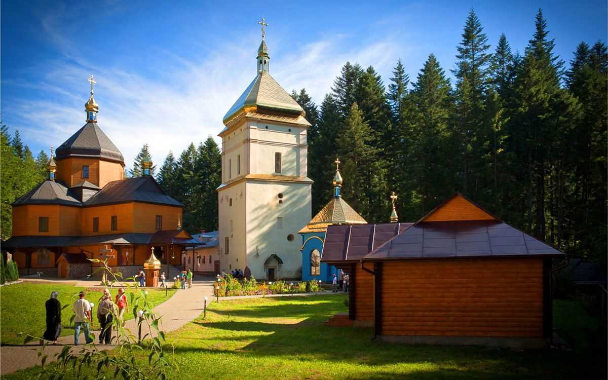
- Maniavskyi Skyt is a seventeenth-century architectural monument founded in 1606 by Y. Kniahynynytskyi, a native of Tysmenytsia and a student of the Athos Monastery;
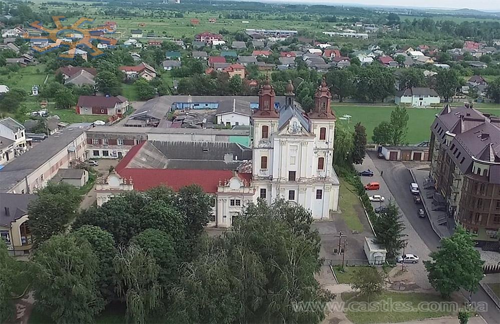
- The Church of the Dominican Fathers in Bohorodchany, built in 1691;
- The centenary church of St. Nicholas in the village of Hlybivka, built, according to legend, at the expense of Oleksa Dovbush;
- The Church of the Holy Apostles Peter and Paul in the village of Rosilna, built in the early seventeenth century.
Bohorodchany district has an interesting and rich history. The ancient settlement of this region is evidenced by the results of archaeological excavations in the village of Staruni, which revealed ten sites of primitive people. In addition, in 1907 and 1929, archaeologists found the remains of a mammoth and a rhinoceros, whose skeletons are kept in museums in Krakow and Lviv. The tribes of the Trypillian culture (mid-4th - late 3rd millennium BC) also lived in the Pidhiria region.
In the first centuries AD, Slavic tribes of White Croats lived on the banks of the Zolota Bystrytsia River. The remains of ancient Kyivan settlements were discovered near the villages of Hrabovets and Horokholyno. According to the first written records, the oldest settlements in the Pidhirtsi region are the villages of Hrabovets, Zhuraky, Liakhivtsi (now Pidhirtsi), Monastyrychany, and Starunia. The Galician-Volyn Chronicle mentions the settlement of Krasnopil (now Solotvyn). The rest of the villages are mentioned in the sources of the 16th and 17th centuries.
The Maniavskyi Monastery, founded by a nobleman from Kniahynyn, Yov Kniahynynytskyi, stands out in the historical chronicle of the region. Here was created a masterpiece of Ukrainian sacred painting, which went down in history as the Bohorodchany iconostasis, made in 1698-1705 by Yov Kondzelevych.
Many famous figures worked or were born in Bohorodchany: Antin Mohylnytskyi, poet, author of the poem "Maniavskyi Skyt" (1811-1873); Julian Tselevych (1843-1892), author of the work "History of Maniavskyi Skyt; writer Mykhailo Petrushevych (1869-1895); Oleksii Zaklynskyi, author of "Notes of the Priest of Starii Bohorodchany" (1819-1881); Ivan Kapushchak, ambassador to the Vienna Parliament (1807-1868); artist Modest Sosenko.); painter Modest Sosenko (1875-1920); classic Ukrainian writer Mykhailo Yatskiv (1873-1861); former Minister of Land Affairs in the government of the Ukrainian People's Republic Mykhailo Martynets.
On the territory of the district there is a seventeenth-century architectural monument - Maniavskyi Skyt, founded in 1606 by Y. Kniahynynytskyi, a native of Tysmenytsia and a student of the Athos Monastery. In 1620, the Patriarch of Tsargrad granted the Skete the right of stavropegia. In the middle of the seventeenth century. The Skete had up to 200 monks and dozens of subordinate monasteries in Galicia, Bukovyna, and Moldavia. In 1612, the Church of the Exaltation of the Holy Cross was built. In 1620-1621, the monastery was surrounded by a defensive wall with three towers, which were destroyed by the Turks in 1676. With the support of Russian tsars, Moldovan lords, and local coteries, the monastery was rebuilt in 1681. According to reliable sources, Hetman of Ukraine I. Vyhovskyi is buried in the Skyt. During 1970-1980, the Skete was restored, and later it was declared a Historical and Cultural Reserve. After the Skyt was transferred to the UOC-KP in 1998, the monastery was used as a men's monastery of the Holy Cross.
There are a number of churches and a church in the area, which characterize the high level of spiritual culture of our ancestors. The Church of the Holy Apostles Peter and Paul, built in the early seventeenth century, is still standing in Rosilna. This wooden structure was built without a single nail, and its interior contains icons painted 300-400 years ago and a part of the altar that has no analogues in Prykarpattia.
Among the oldest religious buildings are the church of the Dominican Fathers in Bohorodchany, built in 1691, and the centenary church of St. Nicholas in Hlybivka, which, according to legend, was built at the expense of Oleksa Dovbush. In general, there are more than three dozen churches in the district built in the eighteenth and nineteenth centuries (more information about the churches of Bohorodchany district is available in the section Society→Religion).
What's nearby
Video
What to visit
Landmarks, museums and places of interest near Bohorodchany district.
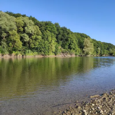 RiverBystrytsia Solotvynska RiverSolotvyn5.6 km from the centreThe Bystrytsia Solotvynska rises at about 1,390 m at the foot of Mala Syvulia and Bystryk, near the Peklo cliffs in the highest part of the Gorgany.
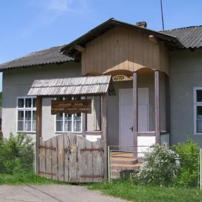 MuseumFolk Museum of Ethnography and Life, SajavaSadzhava10 km from the centreThe Museum of Ethnography and Life, located in the village of Sadzhava, is a real calling card of Ivano-Frankivsk region.
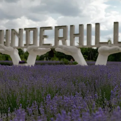 Theme parksUnderhill Earth History Park, PidhiriaPidhiria10 km from the centreUnderhill Earth History Park is a large open-air theme park in the village of Pidhiria near Bohorodchany, about 25 km from Ivano-Frankivsk, right at the foot of the...
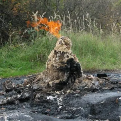 NatureMud volcano, StarunyaStarunia10 km from the centreThe Starunya mud volcano is a geological natural monument that is unique not only in Ukraine but also in the world.
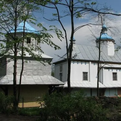 ChurchWooden Church of the Intercession in ManyavaManiava12 km from the centreMany of us who hear the name "Manyava" immediately associate this village with the famous Manyava Skete and the equally famous Manyava Waterfall.
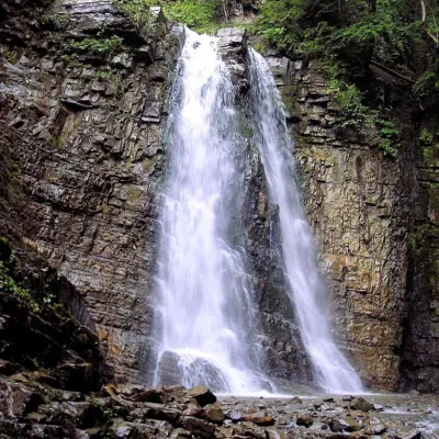 WaterfallManyavsky WaterfallManiava16 km from the centreManyavsky Waterfall is a true wonder that deserves the attention of every traveler, one of the highest in the Carpathians and even in Ukraine (the water falls in...
Craft nearby
All craft places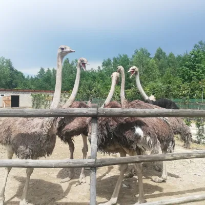 Wildlife parks & animal farmsSavanna Ostrich Farm, LovahyLovahy16 km from the centreSavanna Ostrich Farm is an unexpected find in the Carpathian foothills. It lies in the small Boyko village of Lovahy in the Kalush district, not far from Nebyliv,...
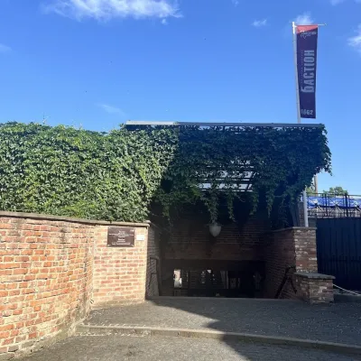 Craft shopsBastion Fortress Gallery – Ukrainian makers’ shops, Ivano-FrankivskIvano-Frankivsk30 km from the centreThe Bastion Fortress Gallery is one of the most atmospheric places in Ivano-Frankivsk for an unhurried walk and for finding gifts made in Ukraine.
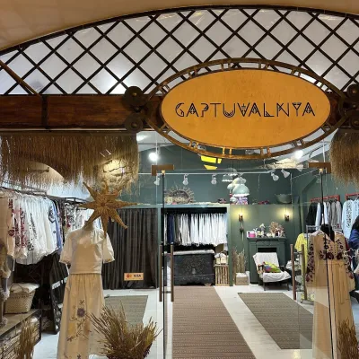 Craft shopsGaptuvalnya embroidered-fashion store, Ivano-FrankivskIvano-Frankivsk30 km from the centreGaptuvalnya is a Ukrainian brand of embroidered clothing whose flagship store is in the Bastion gallery in Ivano-Frankivsk.
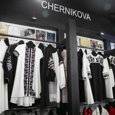 Craft shopsCHERNIKOVA designer ethno-fashion shop, Ivano-FrankivskIvano-Frankivsk30 km from the centreCHERNIKOVA is the shop of Ukrainian designer clothing by Ivano-Frankivsk designer Liubov (Liubtsia) Chernikova, located in the Bastion fortress gallery in the very...
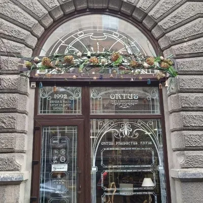 Craft shopsOrtus craft and souvenir shop, Ivano-FrankivskIvano-Frankivsk30 km from the centreOrtus is a small but densely packed shop of craft products and souvenirs in the very heart of Ivano-Frankivsk, at 9 Mykhaila Hrushevskoho Street.
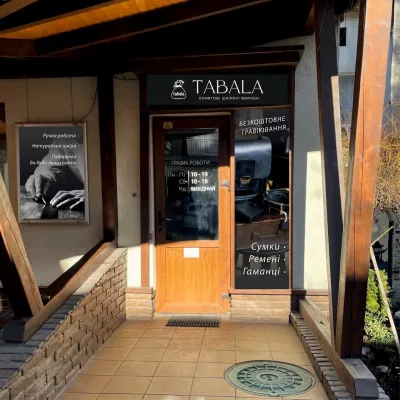 Craft shopsTABALA handmade leather workshop-shop, Ivano-FrankivskIvano-Frankivsk30 km from the centreTABALA is a tiny workshop-shop of craft leather goods in central Ivano-Frankivsk, at 37 Nezalezhnosti Street.
Where to stay
Hotels, sadybas and cottages in and around Bohorodchany district.
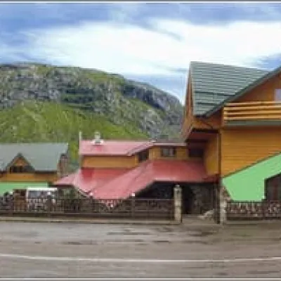 HotelBystrytciaBohorodchany5 km from the centreSaunaBBQParkingNearby: Manyavskyi Skit 6.8 kmManiava Blessed Stone 7.6 kmfrom 800 UAH per night
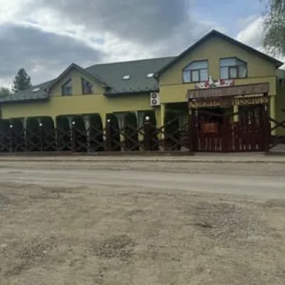 HotelLelekaBohorodchany6.9 km from the centreBBQParkingWi‑FiNearby: Mud volcano 3.6 kmManyavskyi Skit 9.5 kmfrom 360 UAH per night
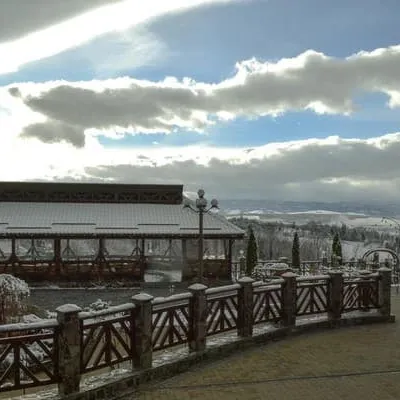 HotelLeibova HoraBohorodchany9.5 km from the centreBreakfastWi‑FiNearby: Mud volcano 5.7 kmfrom 1 900 UAH per night
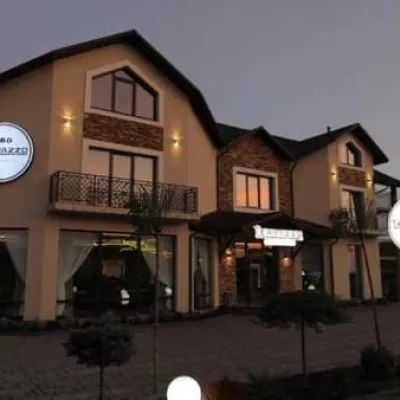 HotelTerrazzoBohorodchany9.7 km from the centrePoolSaunaWi‑FiNearby: Mud volcano 5.6 kmfrom 1 600 UAH per night
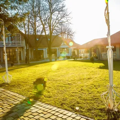 HotelProvenceBohorodchany9.8 km from the centreParkingWi‑FiKidsfrom 1 500 UAH per night
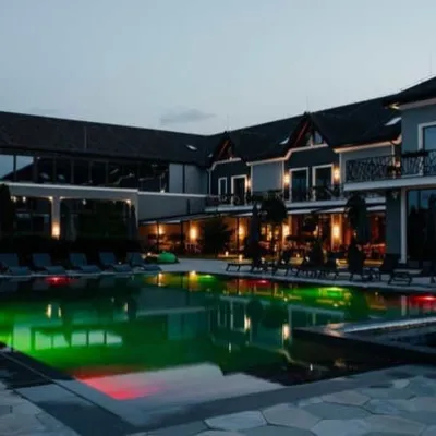 HotelUnderhill Resort & Spa HotelBohorodchany10 km from the centrePoolSPAJacuzzifrom 3 900 UAH per night
Trails nearby
All trails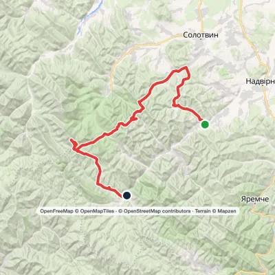 HardMulti-dayPasichna village to Bystrytsia villagevia Maniava village, Maniava Waterfall +1Elevation profile495–1 836 m69.7 kmascent 2 898 m10 km from the centre
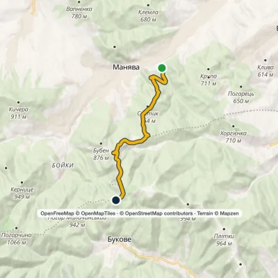 ModerateOne-dayMarkedManiava village Monastyretska polonynaElevation profile497–950 m12.1 kmascent 406 m≈ 4 h walking11 km from the centre
 EasyOne-dayMarkedManiava village Maniava WaterfallElevation profile519–711 m7 kmascent 213 m≈ 2 h walking11 km from the centre
Peaks nearby
All peaks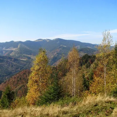 PeakRidge and mountain ChortkaPasichnaaltitude 1 240 m · Gorgany range20 km from the centreChortky (also Chortka) is a ridge in the Gorgany Mountains (Ukrainian Carpathians), within the Nadvirna and Bohorodchany districts of Ivano-Frankivsk region.
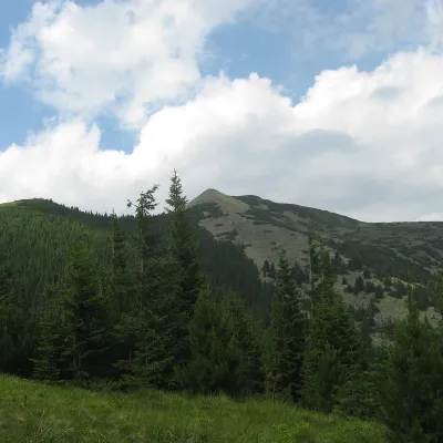 PeakSrednya MountainOsmolodaaltitude 1 639 m · Gorgany range25 km from the centre12 trails to the topSerednya is a 1,639-meter peak of the Ukrainian Carpathians, which is located within the Gorgan mountain range.
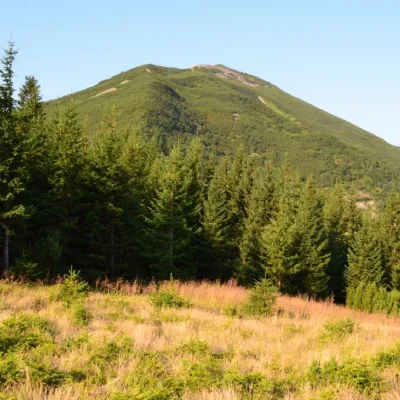 PeakGora VysokaStara Hutaaltitude 1 803 m · Gorgany range27 km from the centre18 trails to the topMount Vysoka (1803.6 m) is one of the peaks of the Ukrainian Carpathians, located in the Gorgan mountain range.
