Divinka
Divinka is a village in Slovakia.
Elevation: about 327 m above sea level. Population: 1,021 (2025).
Here and nearby on the site: 1 trail.
Facts: Wikidata, OpenStreetMap. More on Wikipedia
Comments
Travellers’ experience: reports, tips, questions.
No one has written here yet. Be the first — your experience helps others.
What's nearby
Trails nearby
All trails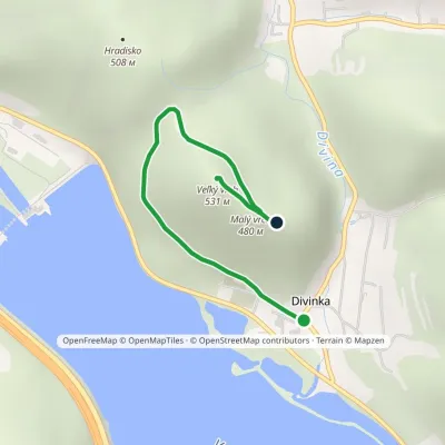 EasyOne-dayMarkedVeľký vrch educational trailElevation profile332–531 m2.3 kmascent 211 m≈ 60 min walkingunder 1 km from the centre
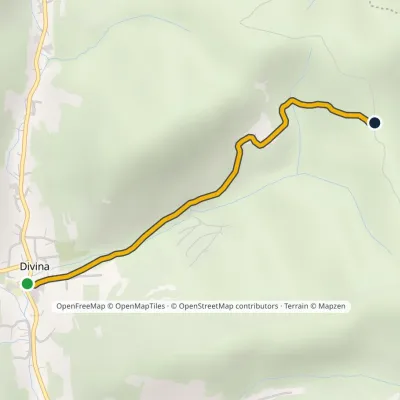 EasyOne-dayMarkedDivina Sedlo pod ZávršímElevation profile365–522 m2.2 kmascent 157 m≈ 45 min walking1.9 km from the centre
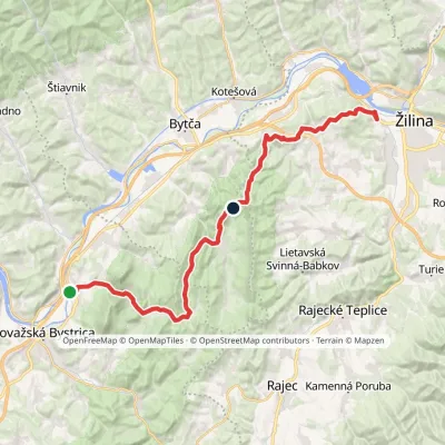 Hard1–2 daysMarkedŽilina, Strážov Považská TepláElevation profile289–765 m31.7 kmascent 1 869 m≈ 11 h walking2.1 km from the centre
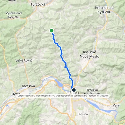 ModerateOne-dayMarkedBudatín Saddle under GrapaElevation profile327–888 m17.2 kmascent 496 m≈ 5 h walking2.1 km from the centre
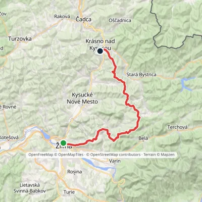 Hard1–2 daysMarkedBudatín Krásno nad Kysucou, mestoElevation profile337–912 m41.2 kmascent 1 330 m≈ 12.5 h walking3.5 km from the centre
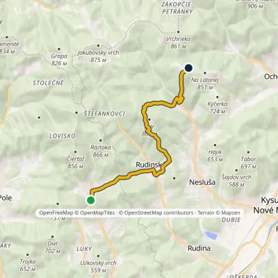 ModerateOne-dayMarkedDivina, Hucerovci MičekovciElevation profile450–830 m10.7 kmascent 808 m≈ 4 h walking5.8 km from the centre
Peaks nearby
All peaks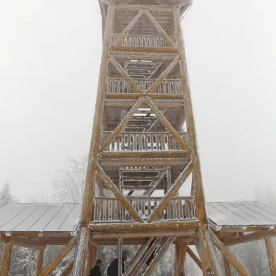 PeakTáborKysucké Nové Mestoaltitude 697 m9.3 km from the centreTábor is a 697 m hill, the highest summit of the Ochodnica Highlands (Ochodnická vrchovina) in the eastern Javorníky in north-western Slovakia.
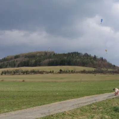 PeakStraníkŽilinaaltitude 769 m9.6 km from the centreStraník is a summit 769 m high in the Kysuce Highlands of northern Slovakia, about 5 km east of Žilina.
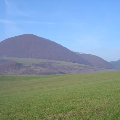 PeakĽadonhoraHorný Vadičovaltitude 999 m13 km from the centreĽadonhora is a forested 999 m summit in northern Slovakia and the second-highest peak of the Kysuce Highlands (Kysucká vrchovina).
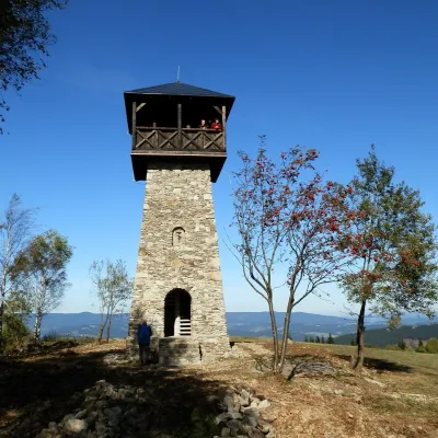 PeakMarťácky vrchZákopčiealtitude 854 m14 km from the centreMarťácky vrch (locally also Marťakovský kopec) is an 854 m summit in the north-eastern part of the Javorníky range in Slovakia, in the Rakovská hornatina group.
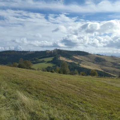 PeakChotárny kopecČadcaaltitude 906 m15 km from the centreChotárny kopec is a summit 906 m high in the north-eastern Javorníky, Slovakia, the second highest after Kazícka Kýčera in the Rakovská hornatina part of the range.
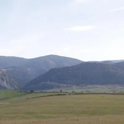 PeakMinčol (Lesser Fatra)Višňovéaltitude 1 364 m17 km from the centre1 trail to the topMinčol is a massive 1364 m mountain on the main ridge of the Lúčanská Fatra, part of the Lesser Fatra (Malá Fatra) in Slovakia.
What to visit
All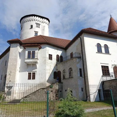 MuseumBudatín Castle — Považie Museum and Tinkers' ExhibitionŽilina3.3 km from the centreBudatín Castle (Budatínsky hrad, also Budatínsky zámok) stands in the Budatín district of Žilina, where the Kysuca flows into the Váh.
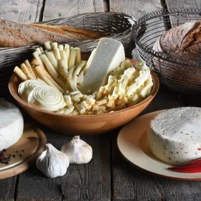 Cheese dairies & pasturesFarma Brezany near Žilina: hand-stretched cheese and a distilleryBrezany7.1 km from the centreBrezany is a village a few kilometres south of Žilina, on the edge of the Žilina basin and the foothills leading towards the Rajec valley and the Strážov Hills.
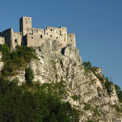 CastleStrečno CastleStrečno15 km from the centreThe castle guarding the gate of the Malá Fatra Strečno Castle (Hrad Strečno) stands on a 103 m limestone crag above the River Váh, 11 km from Žilina on the road to...
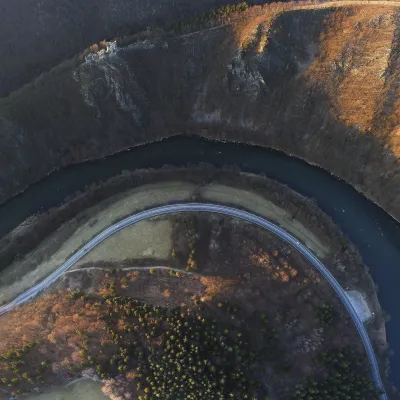 RiverVáh RiverNezbudská Lúčka16 km from the centreThe Váh is Slovakia's longest river and a left-bank tributary of the Danube. It is 403 km long with a basin of 10,640 km² (figures given by the Polish and Ukrainian...
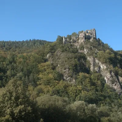 CastleStarý hrad (Old Castle)Nezbudská Lúčka16 km from the centreStarý hrad (Old Castle), known locally as Starhrad and in the past as Varín (Warna), is the ruin of a medieval castle on a granite crag on the right bank of the Váh,...
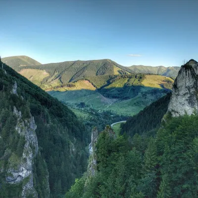 NatureVrátna ValleyTerchová25 km from the centreVrátna dolina, or simply Vrátna, is a valley in the Krivánska Malá Fatra and the largest centre of summer and winter tourism in these mountains.
Craft nearby
All craft places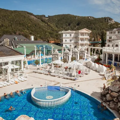 Water parks & thermal poolsSpa Aphrodite thermal pools, Rajecké TepliceRajecké Teplice14 km from the centreHot mineral water rises here, and it feeds the Spa Aphrodite resort, whose thermal pools, saunas and Natural Spa zone are open not only to patients but to anyone with...
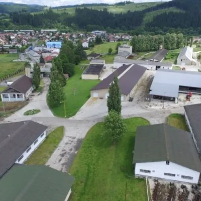 Cheese dairies & pasturesRaková farm in Kysuce: bryndza, žinčica and cheese cakesRaková21 km from the centreKysuce is a hilly region in north-western Slovakia, near the Polish and Czech borders, with scattered hillside hamlets (“kopanice”) and an old tradition of keeping...
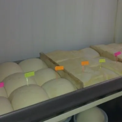 Cheese dairies & pasturesSalaš Orlové near Považská Bystrica: cheese, bryndza, žinčicaPovažská Bystrica23 km from the centreOrlové is a part of the town of Považská Bystrica on the left bank of the Váh, at the foot of hills that rise into the Strážov Hills.
Spas and thermal pools nearby
Water parks & thermal poolsSpa Aphrodite thermal pools, Rajecké TepliceRajecké Teplice14 km from the centreHot mineral water rises here, and it feeds the Spa Aphrodite resort, whose thermal pools, saunas and Natural Spa zone are open not only to patients but to anyone with...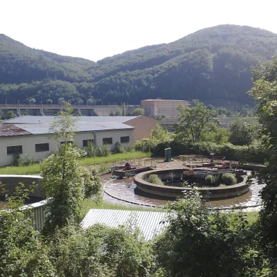 Water parks & thermal poolsNimnica: a mineral-water spa above the Nosice reservoirNimnica27 km from the centreNimnica is one of Slovakia's youngest spas, in the Váh valley between Púchov and Považská Bystrica. Its spa houses stand at about 300 m on a wooded spur of the...
Huts, shelters and springs nearby
Getting there from Ukraine
Border crossings
- Uzhhorod – Vyšné Nemecké — road, 24/7
- Malyi Bereznyi – Ubľa — road, 24/7 For cars and buses; pedestrians not confirmed by the Ukrainian border service, lorries up to 3.5 t.
- Mali Selmentsi – Veľké Slemence (pedestrian) — pedestrian, 09:00–21:00 Kyiv time Pedestrians and cyclists only; inconvenient for the Tatras without onward transport.
- Chop – Čierna nad Tisou (rail) — rail, 24/7
By car
From Uzhhorod to Žilina ≈330 km, ≈4 h 20 min without queues: Uzhhorod – Vyšné Nemecké → I/19 to Košice → D1 via Prešov, Poprad, Liptovský Mikuláš and Ružomberok (≈17 km on I/18 between D1 sections) → Žilina. To Terchová ≈314 km, ≈4 h 15 min: from the D1 onto I/70 and II/583. From Lviv through Poland: M-10 → Krakovets – Korczowa → A4 to Kraków → S7/DK7 to Chyżne – Trstená → R3, I/59 to Dolný Kubín → II/583 via Terchová to Žilina: to Terchová ≈493 km (≈6 h 30 min), to Žilina ≈518 km (≈7 h). Via the tolled A4 Kraków – Katowice, S1 and D3: ≈533 km, ≈6 h 35 min. The D1 requires an e-vignette (eznamka.sk).
Checked 23.10.2026; border crossing hours and timetables change — check before you travel.
