Mníšek nad Hnilcom
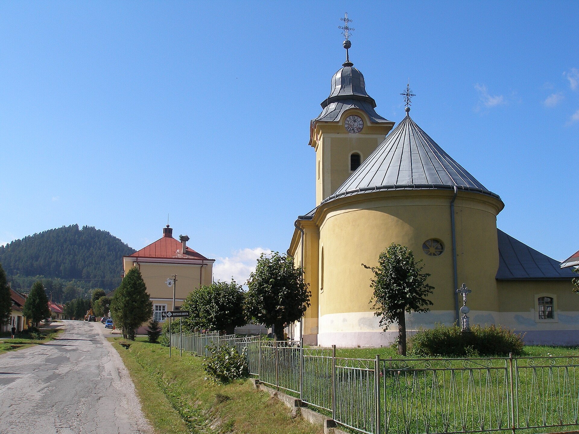
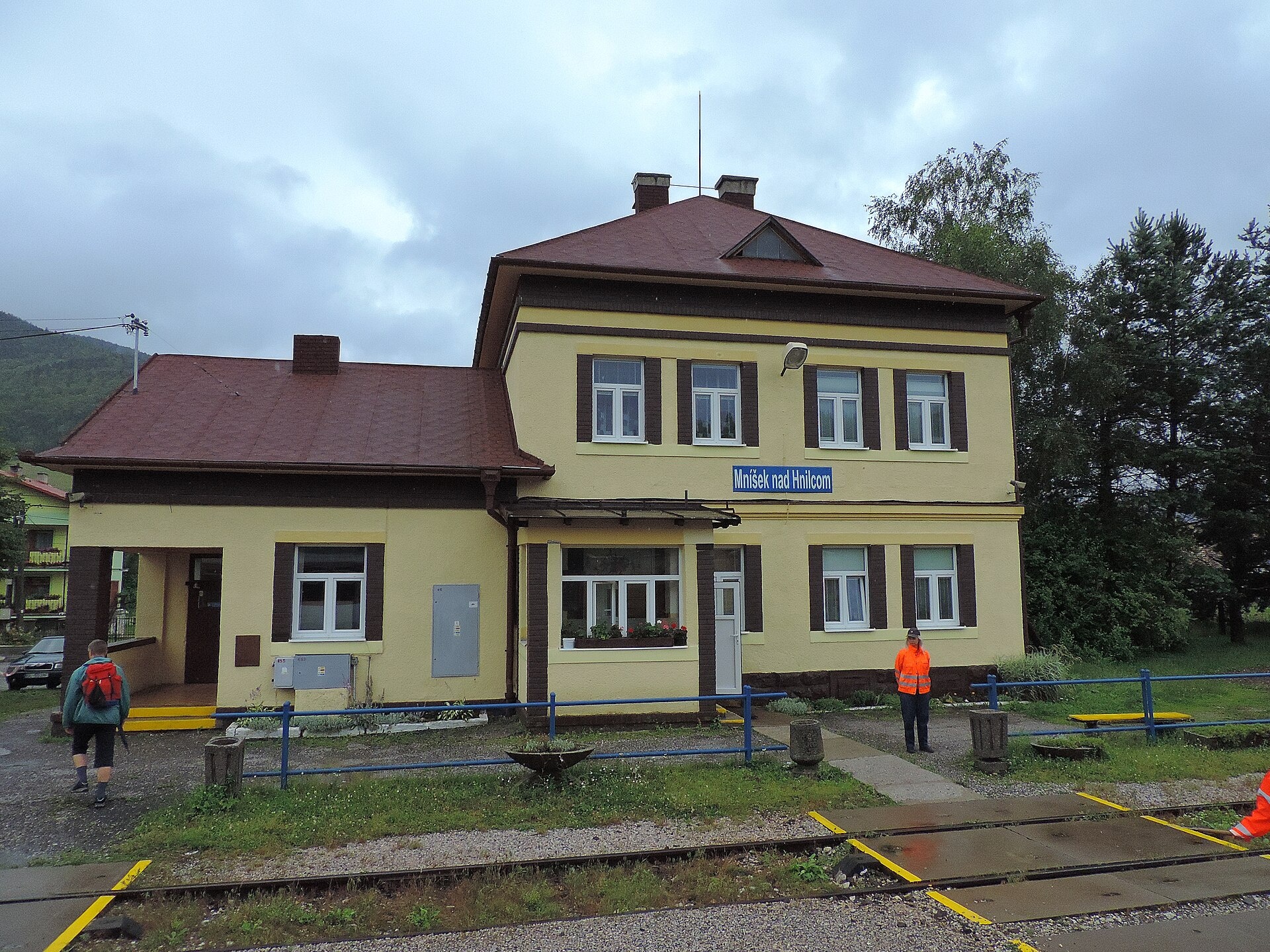
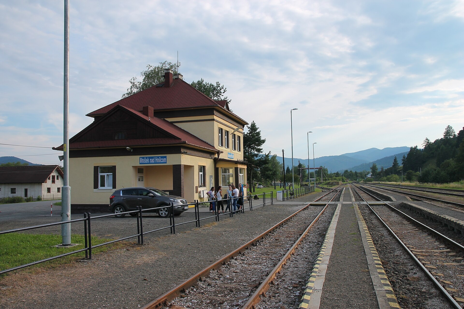
Photos: Ing.Mgr.Jozef Kotulič, CC BY-SA 3.0 (Wikimedia Commons); Jan Starec, CC BY-SA 3.0 (Wikimedia Commons); Draceane, CC BY-SA 4.0 (Wikimedia Commons)
Mníšek nad Hnilcom is a village in Slovakia.
Elevation: about 419 m above sea level. Population: 1,842 (2025). Mountains nearby: Slovak Ore Mountains.
Here and nearby on the site: 3 trails.
Facts: Wikidata, OpenStreetMap. More on Wikipedia
What's nearby
Trails nearby
All trails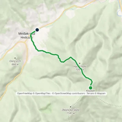 EasyOne-dayMarkedMníšek nad Hnilcom, station KloptaňElevation profile416–1 154 m6.7 kmascent 40 m≈ 2 h walkingunder 1 km from the centre
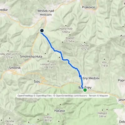 ModerateOne-dayMarkedMedzev Smolnícka pílaElevation profile314–854 m14.1 kmascent 539 m≈ 4.5 h walking2.3 km from the centre
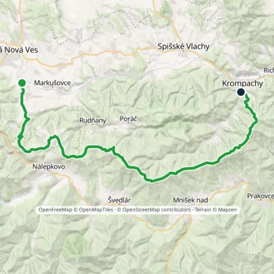 HardMulti-dayMarkedKrompachy, central orientation Teplička nad Hornádom, stopElevation profile377–1 127 m44.2 kmascent 1 365 m≈ 14 h walking4 km from the centre
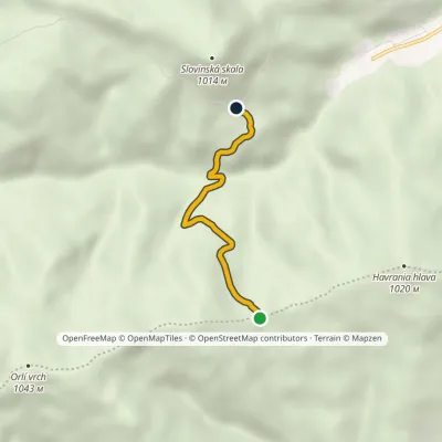 EasyOne-dayMarkedPod skalou Svinská jamaElevation profile539–840 m3.2 kmascent 202 m≈ 1 h walking4.3 km from the centre
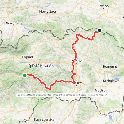 HardMulti-dayMarkedPred Čuntavou Dukliansky PassElevation profile227–1 293 m280.7 kmascent 8 346 m4.8 km from the centre
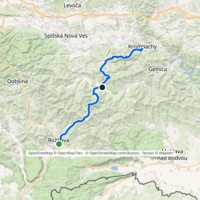 HardMulti-dayMarkedKrompachy, Central Orientation RožňavaElevation profile306–1 318 m55.4 kmascent 3 523 m6.1 km from the centre
Peaks nearby
All peaks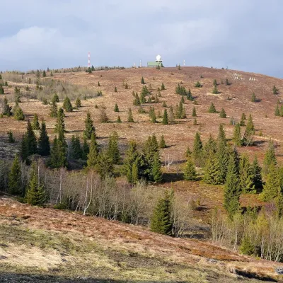 PeakKojšovská hoľaKojšovaltitude 1 246 m14 km from the centreKojšovská hoľa (colloquially Kojšovka; German Koischdorfer Höhe, Hungarian Kojsói-tető) is a 1,246 m mountain in the Volovské vrchy, part of the Slovak Ore Mountains...
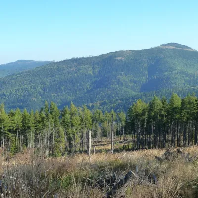 PeakPipitkaDrnavaaltitude 1 225 m17 km from the centrePipitka (Hungarian Pipityke) is a 1225 m summit in the Volovské vrchy, part of the Slovak Ore Mountains.
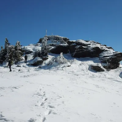 PeakSkaliskoBetliaraltitude 1 293 m18 km from the centreSkalisko (Hungarian Pozsálló; the massif is often called Volovec) is the second highest summit of the Volovské vrchy, part of the Slovak Ore Mountains, at 1,293 m.
What to visit
All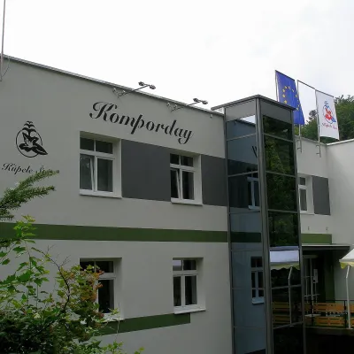 Water parks & thermal poolsŠtós spa: climatic cure, speleotherapy and poolŠtós9.5 km from the centreKúpele Štós is a climatic spa in south-eastern Slovakia, in the settlement of Štós-kúpele a few kilometres north of the mining village of Štós, where the Volovské...
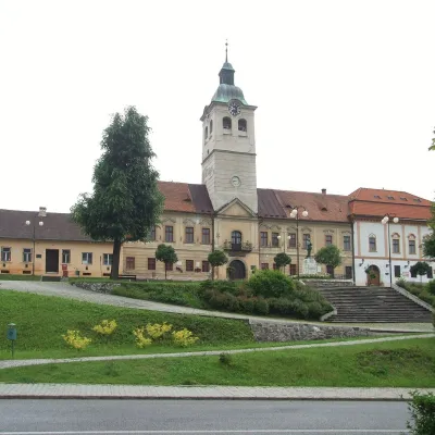 MuseumMining Museum in Gelnica and the Jozef AditGelnica11 km from the centreThe Mining Museum in Gelnica (Banícke múzeum v Gelnici) is the town museum of an old mining town in the Hnilec valley, among the Volovské vrchy, part of the Slovak Ore...
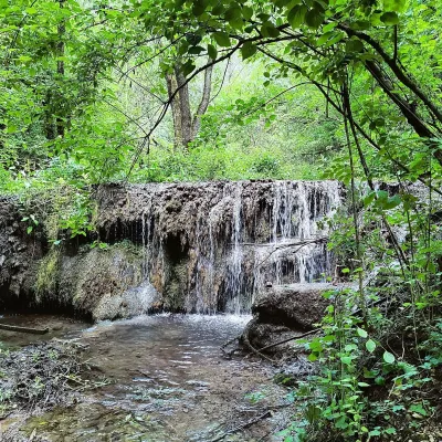 WaterfallHáj waterfalls in the Slovak KarstHáj19 km from the centreThe Háj waterfalls (Hájske vodopády, Hungarian Áji vízesések) are a cascade of travertine waterfalls in the Háj valley in the Slovak Karst National Park (Slovenský...
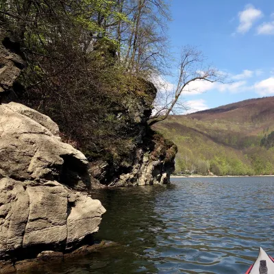 LakeRužín reservoir on the HornádMalá Lodina21 km from the centreRužín is a reservoir on the Hornád river in the deep, winding valley of the Čierna hora hills, the north-eastern part of the Slovak Ore Mountains, a dozen or so...
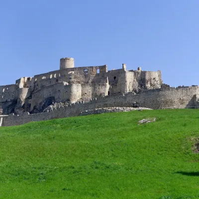 CastleSpiš CastleŽehra22 km from the centreA castle visible for dozens of kilometres Spiš Castle (Spišský hrad) is the ruin of a vast castle on top of a 634 m travertine rock that rises 200 m above the Spiš basin.
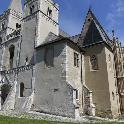 ChurchSpišská Kapitula and St Martin’s CathedralSpišská Kapitula22 km from the centreSpišská Kapitula is an ancient church town on St Martin’s Hill, directly opposite Spiš Castle. It is often called the ‘Slovak Vatican’.
Craft nearby
All craft places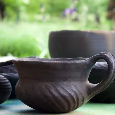 Crafts & workshopsHáj Pottery: wheel-thrown ceramics and wood-fired kilns in HájHáj20 km from the centreAt the back of an old farmhouse here is Háj Pottery (Hájske hrnčiarstvo), run by Amália Holíková. She throws utility ware on the wheel and models it by hand, but her...
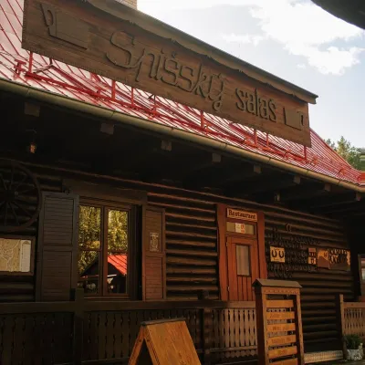 Koliby & Hutsul cuisineSpišský salaš below Spiš Castle: Spiš cooking since 1964Spišská Kapitula23 km from the centreBetween Spiš Castle and Spišská Kapitula, at the edge of the plain below the travertine mound of Sivá brada, stands the wooden Spišský salaš.
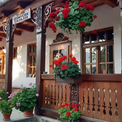 Markets & fairsGemer Craft Fair at Krásnohorská Dlhá Lúka below Krásna HôrkaKrásnohorská Dlhá Lúka26 km from the centreKrásnohorská Dlhá Lúka is a village below Krásna Hôrka castle, a few kilometres from Rožňava. In 2002 the Association of Gemer Craftsmen (Združenie gemerských...
Spas and thermal pools nearby
Huts, shelters and springs nearby
Getting there from Ukraine
Border crossings
- Uzhhorod – Vyšné Nemecké — road, 24/7
- Malyi Bereznyi – Ubľa — road, 24/7 For cars and buses; pedestrians not confirmed by the Ukrainian border service, lorries up to 3.5 t.
- Mali Selmentsi – Veľké Slemence (pedestrian) — pedestrian, 09:00–21:00 Kyiv time Pedestrians and cyclists only; inconvenient for the Tatras without onward transport.
- Chop – Čierna nad Tisou (rail) — rail, 24/7
By car
From Uzhhorod ≈182 km, ≈2 h 45 min without queues: Uzhhorod – Vyšné Nemecké → I/19 via Sobrance and Michalovce to Košice → D1 motorway via Prešov to the exit near Levoča → road 533 to Spišská Nová Ves (≈177 km, ≈2 h 30 min from the border). From Lviv via Uzhok and Ubľa ≈407 km, ≈6 h 40 min; through Poland (Kraków – Nowy Targ) ≈496 km, ≈6 h 20 min. The D1 requires an e-vignette (eznamka.sk).
Checked 23.10.2026; border crossing hours and timetables change — check before you travel.
