Batizovce
Batizovce is a village in Slovakia.
Elevation: about 751 m above sea level. Population: 2,613 (2025). Mountains nearby: High Tatras.
Facts: Wikidata, OpenStreetMap. More on Wikipedia
What's nearby
Trails nearby
All trails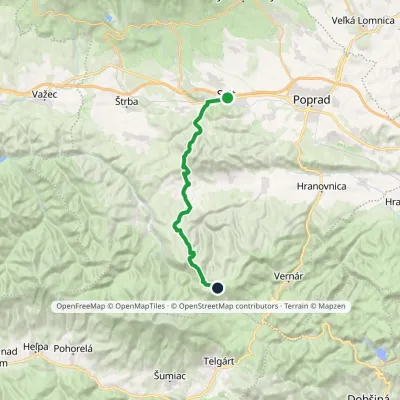 HardTwo-dayMarkedSvit, station Smrečinské SaddleElevation profile729–1 448 m24.5 kmascent 1 067 m≈ 8.5 h walking1.7 km from the centre
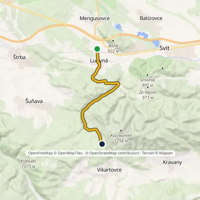 EasyOne-dayMarkedLučivná, stop JakubčákováElevation profile764–968 m9.2 kmascent 310 m≈ 3 h walking3.6 km from the centre
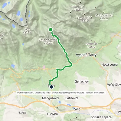 HardOne-dayMarkedNižné Hágy Junction below Poľský hrebeňElevation profile849–2 195 m14.6 kmascent 95 m≈ 4 h walking3.8 km from the centre
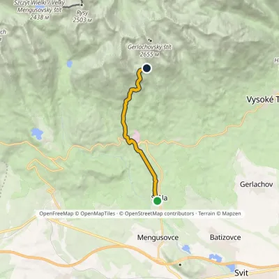 ModerateOne-dayMarkedŠtôla Batizovské TarnElevation profile852–1 901 m8.6 kmascent 1 049 m≈ 4 h walking3.9 km from the centre
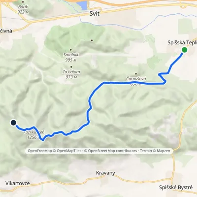 ModerateOne-dayMarkedSpišská Teplica Sedlo TabličkyElevation profile698–1 256 m10.8 kmascent 600 m≈ 4 h walking4.7 km from the centre
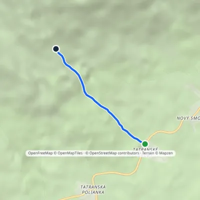 EasyOne-dayMarkedTatranské zruby Junction above ZrubyElevation profile1 006–1 394 m2.3 kmascent 388 m≈ 1.5 h walking6.3 km from the centre
Peaks nearby
All peaks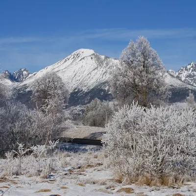 PeakSlavkovský štítStarý Smokovecaltitude 2 452 m10 km from the centreSlavkovský štít (Polish Sławkowski Szczyt, German Schlagendorfer Spitze) is a broad, massive peak 2452 m high in the High Tatras of Slovakia.
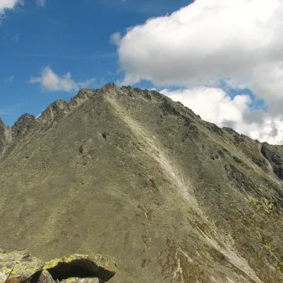 PeakKončistáVyšné Hágyaltitude 2 537 m11 km from the centreKončistá (Polish Kończysta, German Kontschista, Hungarian Koncsiszta) is a 2,537.5 m summit in the High Tatras in Slovakia.
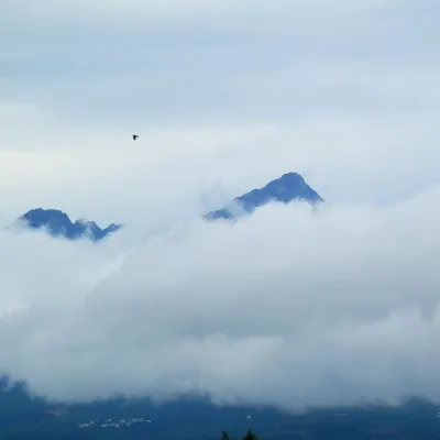 PeakGerlachovský štítVyšné Hágyaltitude 2 655 m11 km from the centreGerlachovský štít (colloquially Gerlach; Polish Gerlach, German Gerlsdorfer Spitze) is the highest peak of the High Tatras, of Slovakia and of the entire Carpathians.
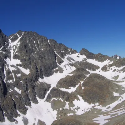 PeakZadný GerlachVyšné Hágyaltitude 2 616 m11 km from the centreZadný Gerlach (officially Zadný Gerlachovský štít, “Rear Gerlach”; Polish Zadni Gerlach) is a mighty 2,616 m junction summit on the main ridge of the High Tatras (2...
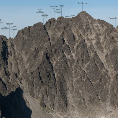 PeakLavínový štítVyšné Hágyaltitude 2 606 m11 km from the centreLavínový štít (Polish Lawinowy Szczyt, German Lawinenspitze) is a rocky 2606 m summit in the Slovak High Tatras and one of the highest in the whole range: the Slovak...
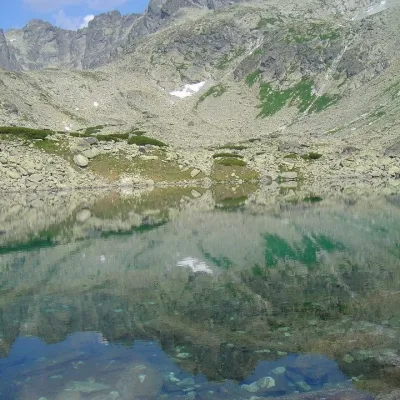 PeakBatizovský štítVyšné Hágyaltitude 2 448 m11 km from the centreBatizovský štít (Polish Batyżowiecki Szczyt, German Botzdorfer Spitze, Hungarian Batizfalvi-csúcs) is a massive twin-topped summit 2448 m high on the main ridge of the...
What to visit
All Water parks & thermal poolsClimatic spas of the High Tatras: Nový Smokovec, Polianka, KotlinaVysoké Tatry7.5 km from the centreNový Smokovec is the best known of the climatic spas of the High Tatras. It grew up in a spruce forest at about 1010 m, south-west of Starý Smokovec, with which it...
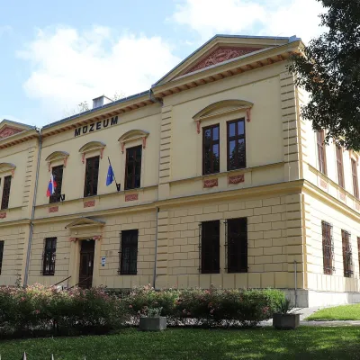 MuseumPodtatranské Museum, Poprad, and the Prince's TombPoprad8.5 km from the centreThe Podtatranské Museum in Poprad (Podtatranské múzeum v Poprade) is a supra-regional museum at the foot of the High Tatras, run by the Prešov Self-Governing Region.
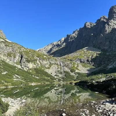 LakeVelické pleso and Sliezsky domNová Polianka9.5 km from the centreVelické pleso is the largest lake of the Velická valley in the High Tatras, at 1,663 m, at the foot of Gerlachovský štít — the highest peak of the Tatras.
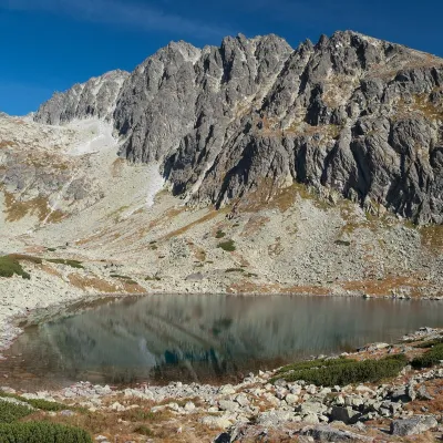 LakeBatizovské plesoVyšné Hágy9.5 km from the centreBatizovské pleso is a high-mountain lake in the Batizovská valley at 1,884 m, right below the walls of Gerlachovský štít (2,655 m) — the highest peak of the Tatras and...
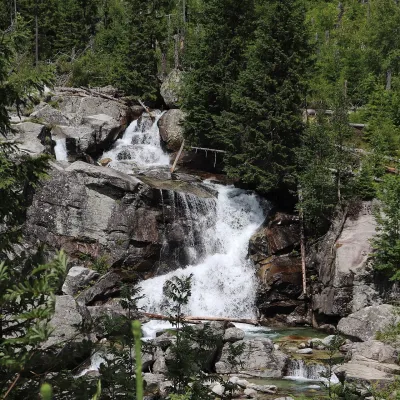 WaterfallStudený potok Waterfalls and HrebienokStarý Smokovec10 km from the centreThe Studený potok waterfalls (Vodopády Studeného potoka), known in Polish literature as the Zimna Woda waterfalls, are one of the oldest tourist attractions of the...
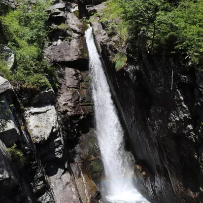 WaterfallObrovský vodopád (Giant Waterfall)Starý Smokovec11 km from the centreObrovský vodopád (Polish Wodospad Olbrzymi, German Riesenwasserfall – the "Giant Waterfall") is one of the most powerful and photogenic waterfalls of the Slovak High...
Craft nearby
All craft places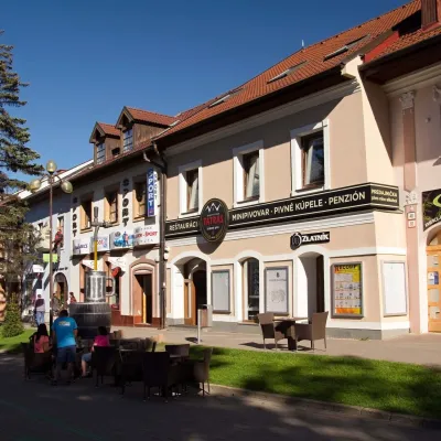 Craft beer & breweriesMinipivovar TATRAS, PopradPoprad8.8 km from the centreMinipivovar TATRAS is a brewpub on Poprad’s main square, Námestie sv. Egídia, housed in a building with a long brewing history.
 Water parks & thermal poolsAquaCity Poprad water parkPoprad9 km from the centreAquaCity Poprad is a large year-round water park and wellness complex in the town of Poprad, a few minutes from the centre; according to the complex, the High Tatras...
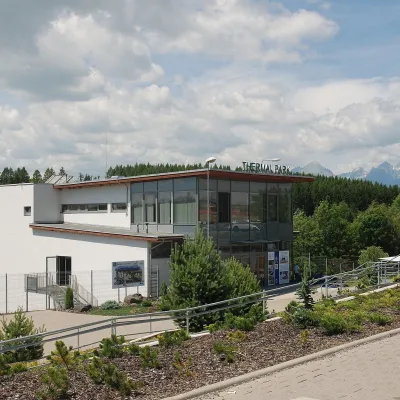 Water parks & thermal poolsThermal Park VrbovVrbov17 km from the centreThermal Park Vrbov is one of the best-known thermal baths in the Spiš region, on the southern edge of the village of Vrbov, about 6 km (as the crow flies) from...
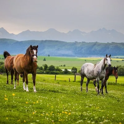 Horse ridingRanč u Trapera, Podlesok: Horse Rides in the Slovak ParadiseHrabušice18 km from the centreA little away from the main tourist bustle, below the forest, stands the family-run Ranč u Trapera, run by the Salaj family.
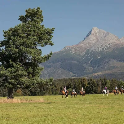 Horse ridingKone vo Východnej: horse rides below the TatrasVýchodná19 km from the centreKone vo Východnej (“Horses in Východná”) is a small family horse farm on the meadows above the village of Východná in upper Liptov, with a sweeping view of the High...
 Eco farmsFarma Východná — organic farm below the TatrasVýchodná21 km from the centreFarma Východná is the highest-lying organic farm in Liptov, at 930 m in the village of Východná right below the Tatras.
Spas and thermal pools nearby
Water parks & thermal poolsClimatic spas of the High Tatras: Nový Smokovec, Polianka, KotlinaVysoké Tatry7.5 km from the centreNový Smokovec is the best known of the climatic spas of the High Tatras. It grew up in a spruce forest at about 1010 m, south-west of Starý Smokovec, with which it...Water parks & thermal poolsAquaCity Poprad water parkPoprad9 km from the centreAquaCity Poprad is a large year-round water park and wellness complex in the town of Poprad, a few minutes from the centre; according to the complex, the High Tatras...Water parks & thermal poolsThermal Park VrbovVrbov17 km from the centreThermal Park Vrbov is one of the best-known thermal baths in the Spiš region, on the southern edge of the village of Vrbov, about 6 km (as the crow flies) from...Huts, shelters and springs nearby
Getting there from Ukraine
Border crossings
- Uzhhorod – Vyšné Nemecké — road, 24/7
- Malyi Bereznyi – Ubľa — road, 24/7 For cars and buses; pedestrians not confirmed by the Ukrainian border service, lorries up to 3.5 t.
- Mali Selmentsi – Veľké Slemence (pedestrian) — pedestrian, 09:00–21:00 Kyiv time Pedestrians and cyclists only; inconvenient for the Tatras without onward transport.
- Chop – Čierna nad Tisou (rail) — rail, 24/7
By car
Uzhhorod – Poprad ≈195 km, ≈2 h 55 min without queues: Uzhhorod – Vyšné Nemecké checkpoint → I/19 via Sobrance and Michalovce → Košice → D1 motorway via Prešov → Poprad (Liptovský Mikuláš is ≈56 km further on the D1, total ≈249 km). Košice – Poprad ≈112 km. The D1 requires an e-vignette (eznamka.sk). Note: from Lviv the fastest way to Poprad is through Poland — Krakovets – A4 – Kraków – Zakopane – Łysa Polana ≈468 km (≈5 h 50 min); via Uzhok and Malyi Bereznyi ≈419 km but slower (≈6 h 40 min). Zakopane – Poprad ≈69 km, Zakopane – Liptovský Mikuláš ≈80 km.
Checked 23.10.2026; border crossing hours and timetables change — check before you travel.
