Muráň
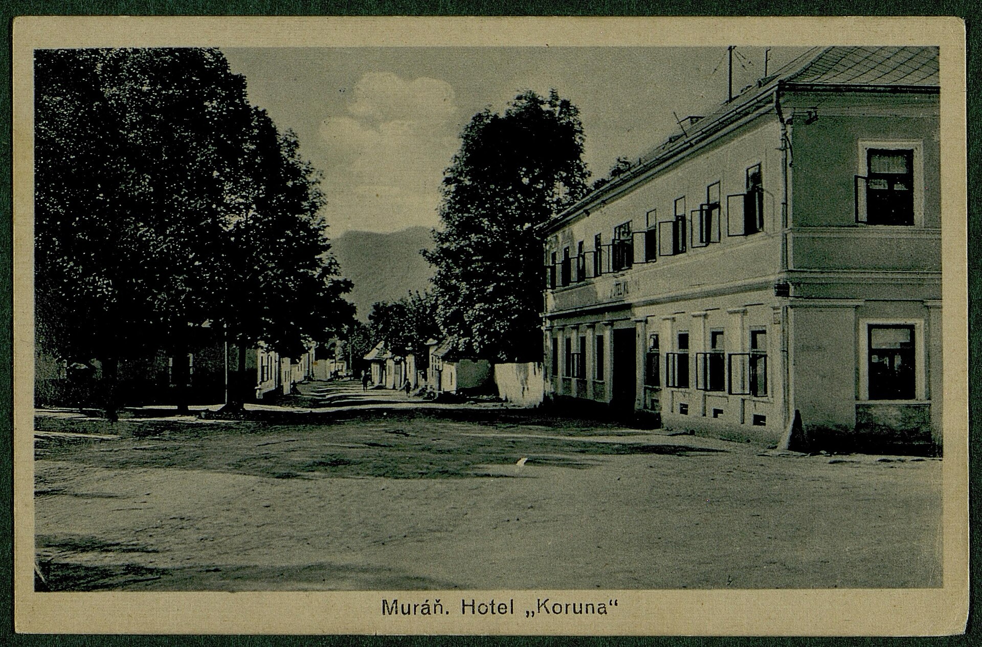
Photos: Jozef Gafrik III., Public domain (Wikimedia Commons); Marcela Ševelová, CC BY-SA 3.0 (Wikimedia Commons); Jozef Gafrik III., Public domain (Wikimedia Commons); Peter439, CC BY-SA 3.0 (Wikimedia Commons); Unknown authorUnknown author, Public domain (Wikimedia Commons); Draceane, CC BY-SA 4.0 (Wikimedia Commons)
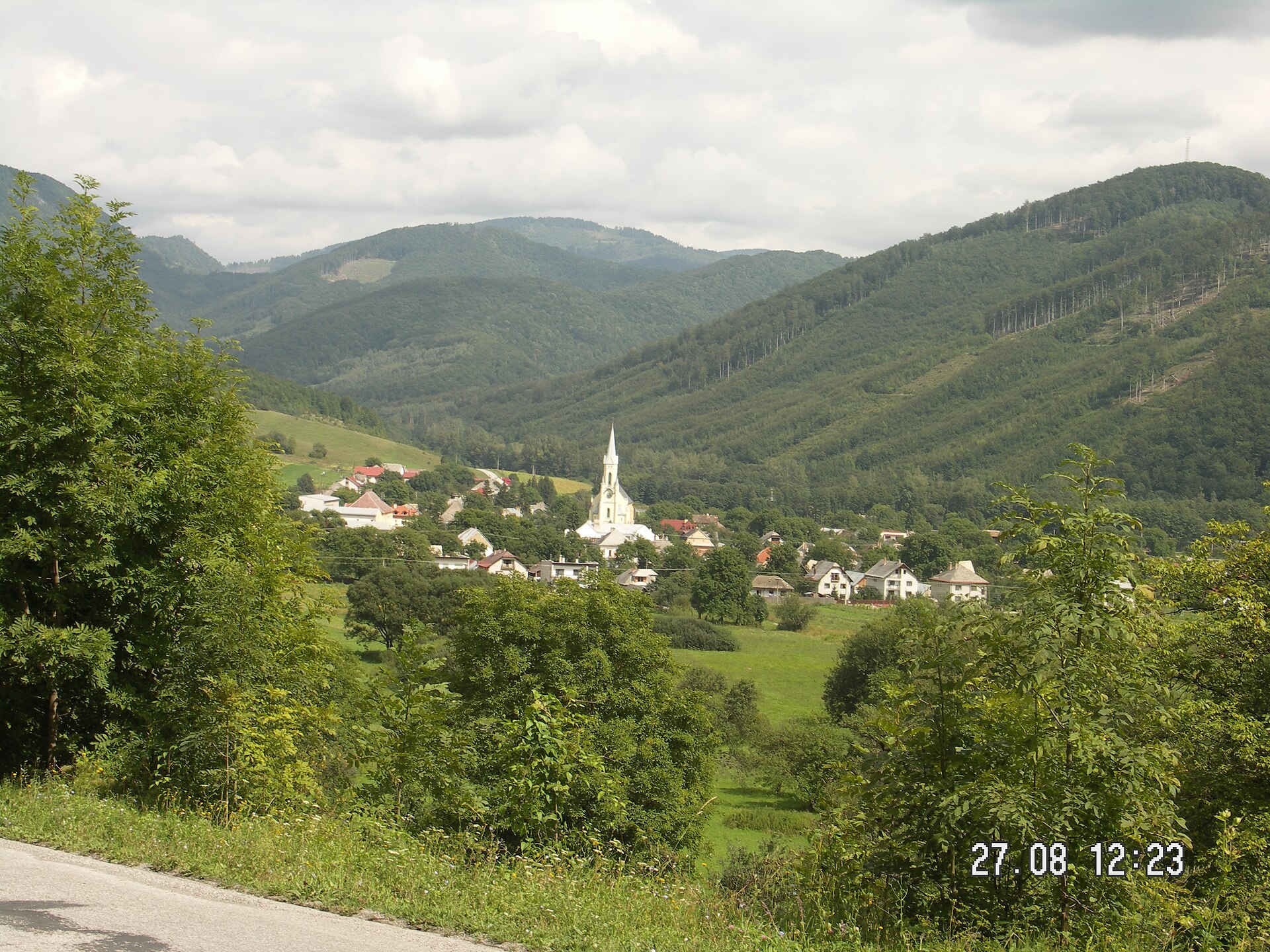
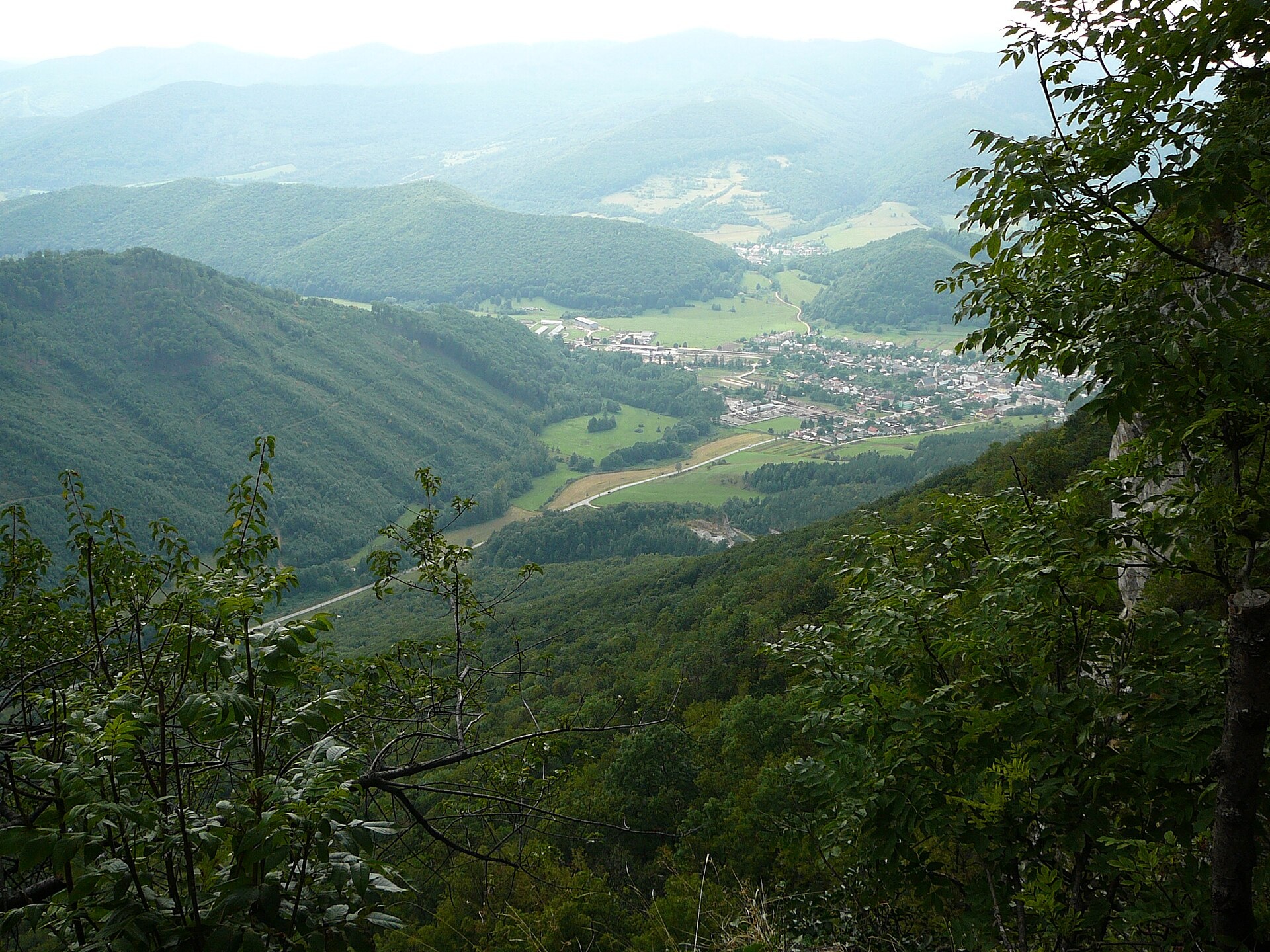
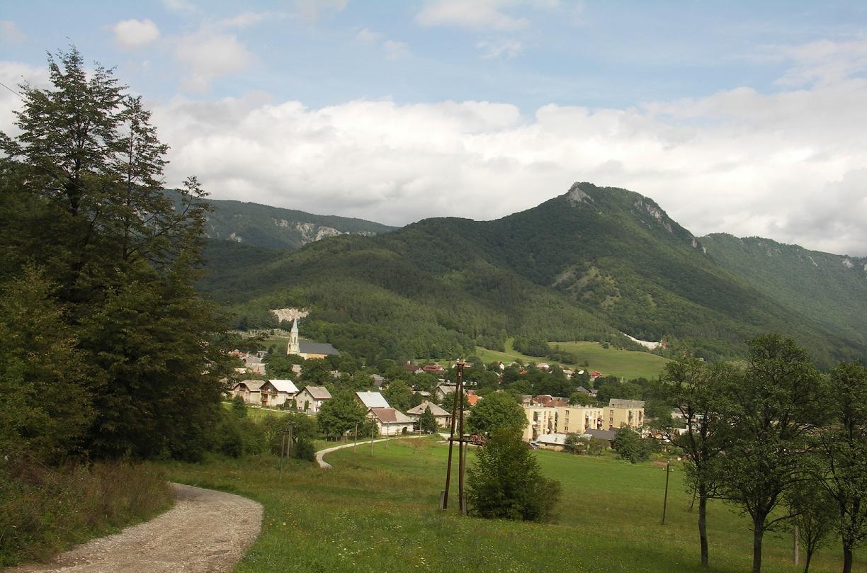
Muráň is a village in the Revúca District, Banská Bystrica Region, Slovakia, situated at an elevation of 393 metres in the Muráň river valley, on the edge of the Slovak Ore Mountains. The village lies just south of the Muráň Plateau, with the Muránska planina National Park administration based here. The area is surrounded by protected landscapes and is a gateway to the Muráň Plateau.
The first mention of Muráň dates back to 1321, as a settlement under Muráň Castle. In the Middle Ages, iron ore mining was significant here, and in the 19th century, a pottery manufactory brought prosperity. The village was burned by the Ottomans in 1574 and by the forces of Stephen Bocskai in 1610. A plague in the early 18th century took many lives, and during World War II, some villagers died for their involvement in the Slovak National Uprising.
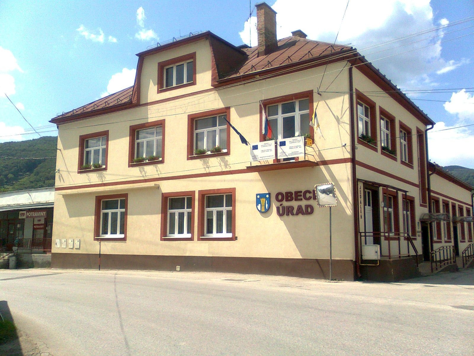
Muráň is known for its historical heritage, including the classicist town hall from 1806, the former Tossay's inn (later the Koruna hotel), and a statue of John of Nepomuk. The ruins of Muráň Castle rise above the village, and Muráň serves as a key base for exploring the Muránska planina National Park.
Visitors will find Muráň an excellent starting point for hiking. Several trails begin here, leading to Muráň Castle and the Muráň Plateau. Notable routes include "Kokava nad Rimavicou – Dielik", "Rudná magistrála: Kadák – Stolica", and "Červená Skala – Muránska Zdychava". In the area, you can visit Veľká Lúka on the Muránska planina, taste sheep cheese and bryndza at Salaš Zbojská, or pick berries at the blueberry orchard in Ratkovské Bystré. The Stolica peak is accessible for mountain enthusiasts.
Getting there from Ukraine
From Uzhhorod to Brezno ≈274 km, ≈3 h 50 min without queues: Uzhhorod – Vyšné Nemecké → I/19 to Košice → D1 via Prešov and Poprad to the exit near Liptovský Hrádok → I/18 and I/72 over the Čertovica Pass to Brezno. To Banská Bystrica ≈322 km, ≈4 h 30 min: D1 to Ružomberok, then I/59 via Donovaly. From Lviv: to Brezno via Uzhok and Ubľa ≈498 km (≈7 h 45 min) or through Poland ≈554 km (≈7 h 05 min); to Banská Bystrica through Poland (Kraków – Chyżne – Trstená – Dolný Kubín – Ružomberok) ≈535 km, ≈7 h 15 min. The D1 requires an e-vignette (eznamka.sk).
Sources: Wikipedia, Wikidata, OpenStreetMap, Karpaty.rocks data. More on Wikipedia
Trails nearby
All trails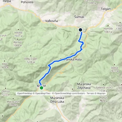 ModerateOne-dayMarkedČervená Skala Sedlo DielikElevation profile393–990 m15.3 kmascent 682 m≈ 5 h walkingunder 1 km from the centre
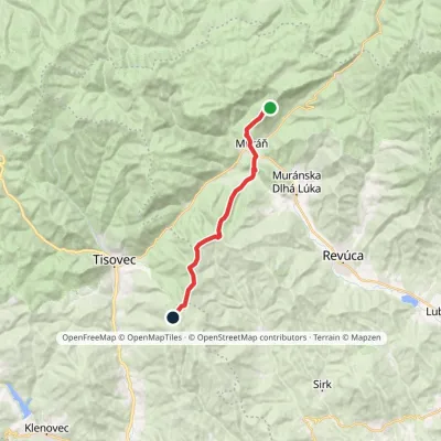 ModerateTwo-dayMarkedMária Széchy Trail: Cigánka HolckováElevation profile375–1 135 m15.7 kmascent 882 m≈ 5.5 h walkingunder 1 km from the centre
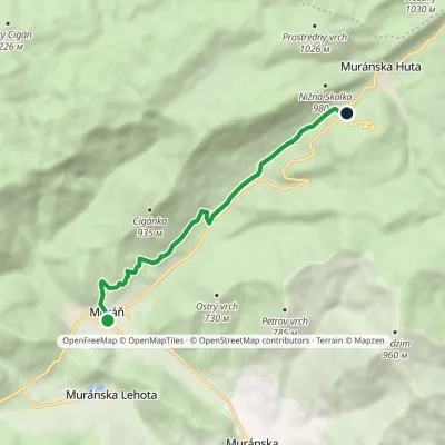 EasyOne-dayMarkedMuráň Predná horaElevation profile393–766 m7.1 kmascent 455 m≈ 2.5 h walkingunder 1 km from the centre
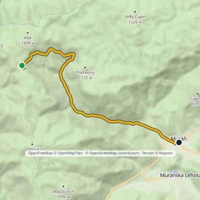 EasyOne-dayMarkedNižná Kľaková, shelter MuráňElevation profile393–1 198 m9.9 km≈ 2.5 h walkingunder 1 km from the centre
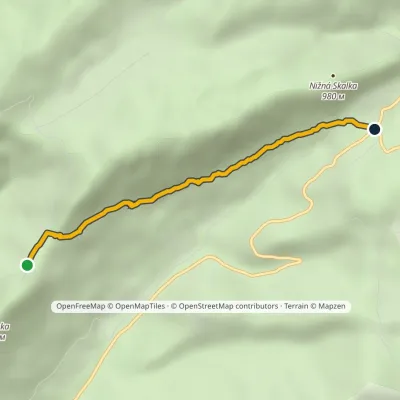 EasyOne-dayMarkedHut under Muránsky Castle Predná hora SaddleElevation profile654–855 m3.8 kmascent 112 m≈ 1 h walking2.6 km from the centre
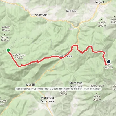 HardTwo-dayMarkedRudná magistrála: Kadak StolicaElevation profile706–1 479 m23.5 kmascent 833 m≈ 7.5 h walking3.3 km from the centre
Peaks nearby
All peaks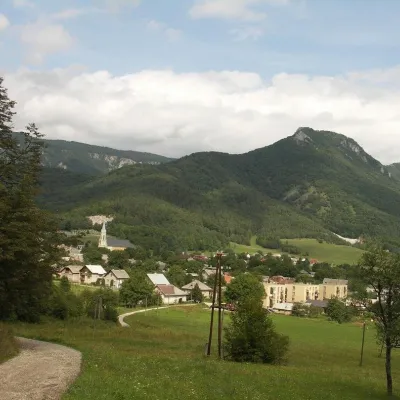 PeakCigánkaMuráňaltitude 935 m2 km from the centreCigánka is a 935 m summit on the south-eastern edge of the Muránska planina plateau, in the Spiš-Gemer Karst, part of the Slovak Ore Mountains.
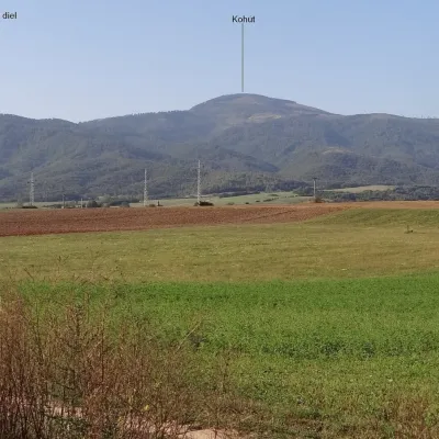 PeakKohútRevúcaaltitude 1 409 m10 km from the centreKohút (Slovak for "rooster"; Hungarian Kakas) is the second-highest peak of the Stolica Mountains (Stolické vrchy), part of the Slovak Ore Mountains, at 1409 m.
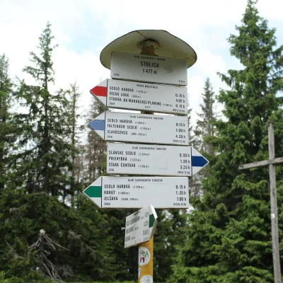 PeakStolicaMuránska Zdychavaaltitude 1 476 m12 km from the centre4 trails to the topStolica (Hungarian Sztolica) is the highest peak of the Stolické vrchy and of the entire Slovak Ore Mountains at 1,476 m.
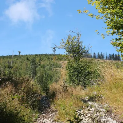 PeakFabova hoľaPohronská Polhoraaltitude 1 439 m12 km from the centreFabova hoľa (Polish Fabowa Hala) is the highest summit of the Vepor Mountains (1439 m), part of the Slovak Ore Mountains.
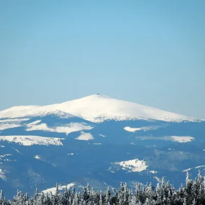 PeakKráľova hoľaŠumiacaltitude 1 946 m17 km from the centreKráľova hoľa (German Königsberg, Hungarian Király-hegy – “King's Mountain”) is a 1,946 m summit, the highest in the eastern part of the Low Tatras, which are called...
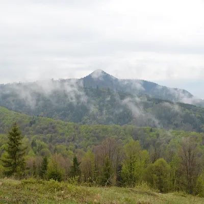 PeakKlenovský VeporPohronská Polhoraaltitude 1 338 m21 km from the centreKlenovský Vepor is a massive 1338.2 m summit in the Veporské vrchy, part of the Slovak Ore Mountains. It is the second-highest summit of the Veporské vrchy and the...
What to visit
All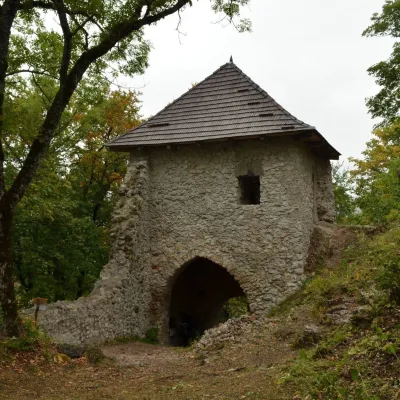 CastleMuráň CastleMuráň2.2 km from the centreMuráň Castle (Muránsky hrad, officially Muráň) is the ruin of a medieval castle on the summit of Cigánka (935 m) at the southern edge of the Muránska planina plateau,...
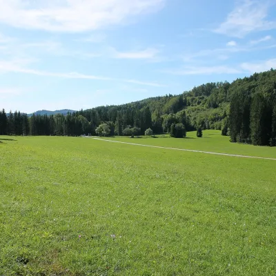 Mountain meadowVeľká lúka on Muránska planinaMuráňaltitude 887 m4.4 km from the centreVeľká lúka («the Great Meadow») is a huge mountain meadow on the limestone Muránska planina plateau north of the village of Muráň, in the south-eastern part of the...
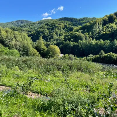 Eco farmsČučoriedková záhrada: pick-your-own blueberries and aronia juiceRatkovské Bystré11 km from the centreHere in 2010 the owners’ family planted the first Canadian blueberry bushes on a small plot — and gradually grew them into the Čučoriedková záhrada (Blueberry Garden).
 Cheese dairies & pasturesSalaš Zbojská: sheep’s cheese, bryndza and žinčica on the passTisovec14 km from the centreThe Zbojská pass lies at about 740 metres in the forests between Brezno and Tisovec, on the edge of the Hron valley and the Muránska planina plateau.
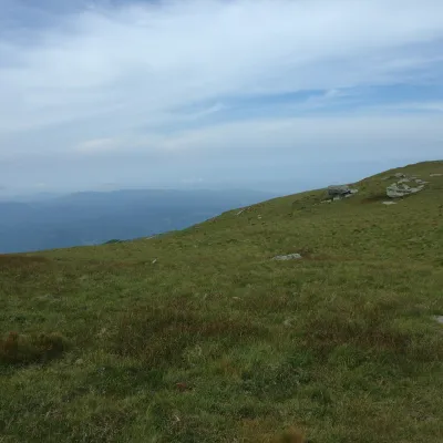 Mountain meadowKráľova hoľa — mountain meadows of the Low TatrasŠumiacaltitude 1 946 m17 km from the centreKráľova hoľa (1,946 m) is a broad, treeless «hoľa» — a mountain meadow above the tree line — at the eastern end of the main ridge of the Low Tatras.
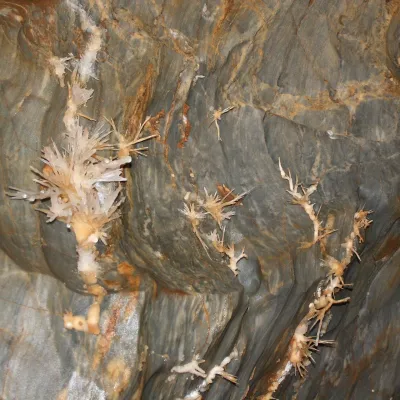 NatureOchtinská Aragonite CaveOchtiná21 km from the centreOchtinská Aragonite Cave (Ochtinská aragonitová jaskyňa) is one of the most extraordinary caves in Slovakia.
Huts, shelters and springs nearby
Getting there from Ukraine
Border crossings
- Uzhhorod – Vyšné Nemecké — road, 24/7
- Malyi Bereznyi – Ubľa — road, 24/7 For cars and buses; pedestrians not confirmed by the Ukrainian border service, lorries up to 3.5 t.
- Mali Selmentsi – Veľké Slemence (pedestrian) — pedestrian, 09:00–21:00 Kyiv time Pedestrians and cyclists only; inconvenient for the Tatras without onward transport.
- Chop – Čierna nad Tisou (rail) — rail, 24/7
By car
From Uzhhorod to Brezno ≈274 km, ≈3 h 50 min without queues: Uzhhorod – Vyšné Nemecké → I/19 to Košice → D1 via Prešov and Poprad to the exit near Liptovský Hrádok → I/18 and I/72 over the Čertovica Pass to Brezno. To Banská Bystrica ≈322 km, ≈4 h 30 min: D1 to Ružomberok, then I/59 via Donovaly. From Lviv: to Brezno via Uzhok and Ubľa ≈498 km (≈7 h 45 min) or through Poland ≈554 km (≈7 h 05 min); to Banská Bystrica through Poland (Kraków – Chyżne – Trstená – Dolný Kubín – Ružomberok) ≈535 km, ≈7 h 15 min. The D1 requires an e-vignette (eznamka.sk).
Checked 23.10.2026; border crossing hours and timetables change — check before you travel.
