Liptovský Mikuláš District
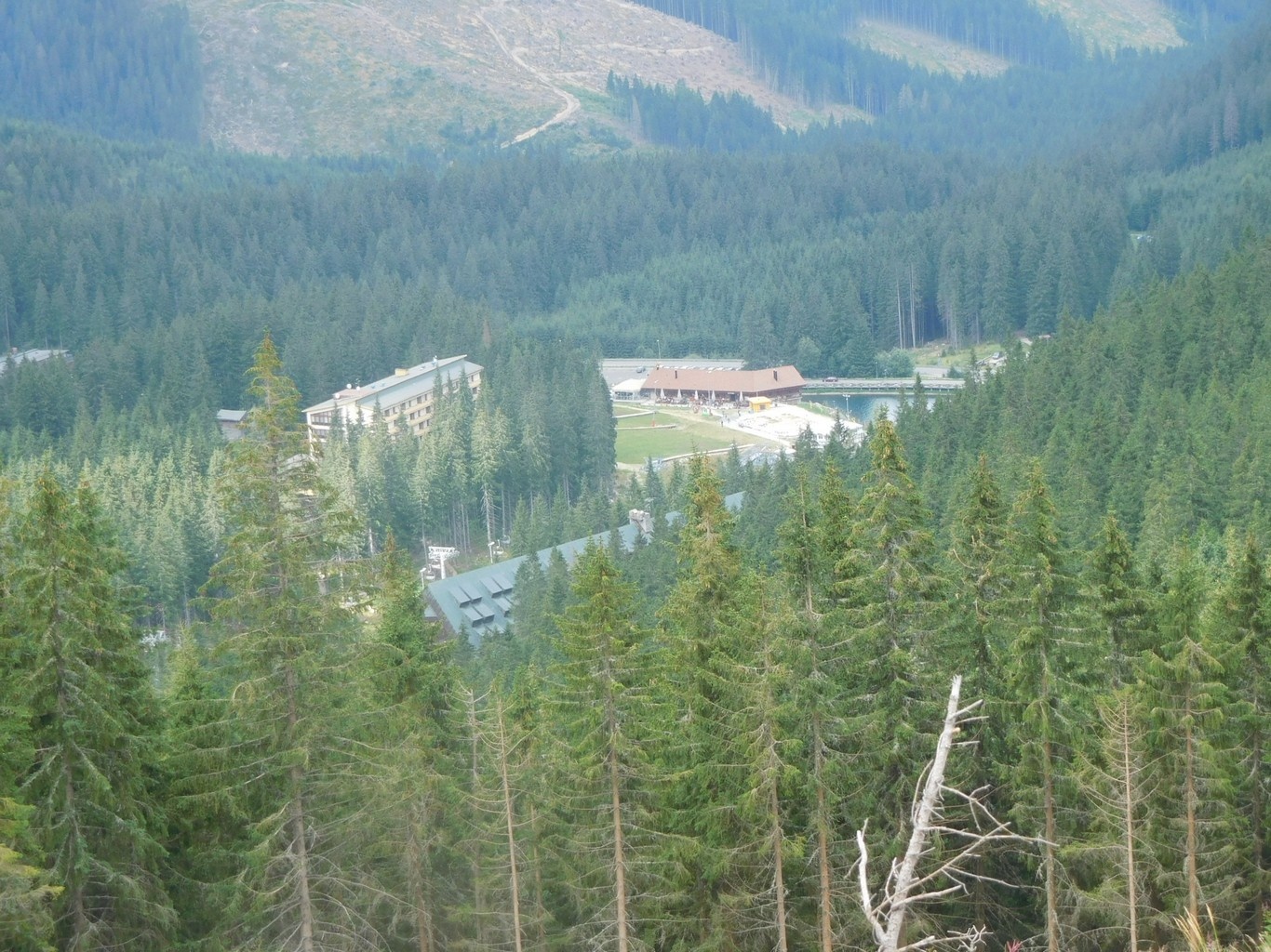
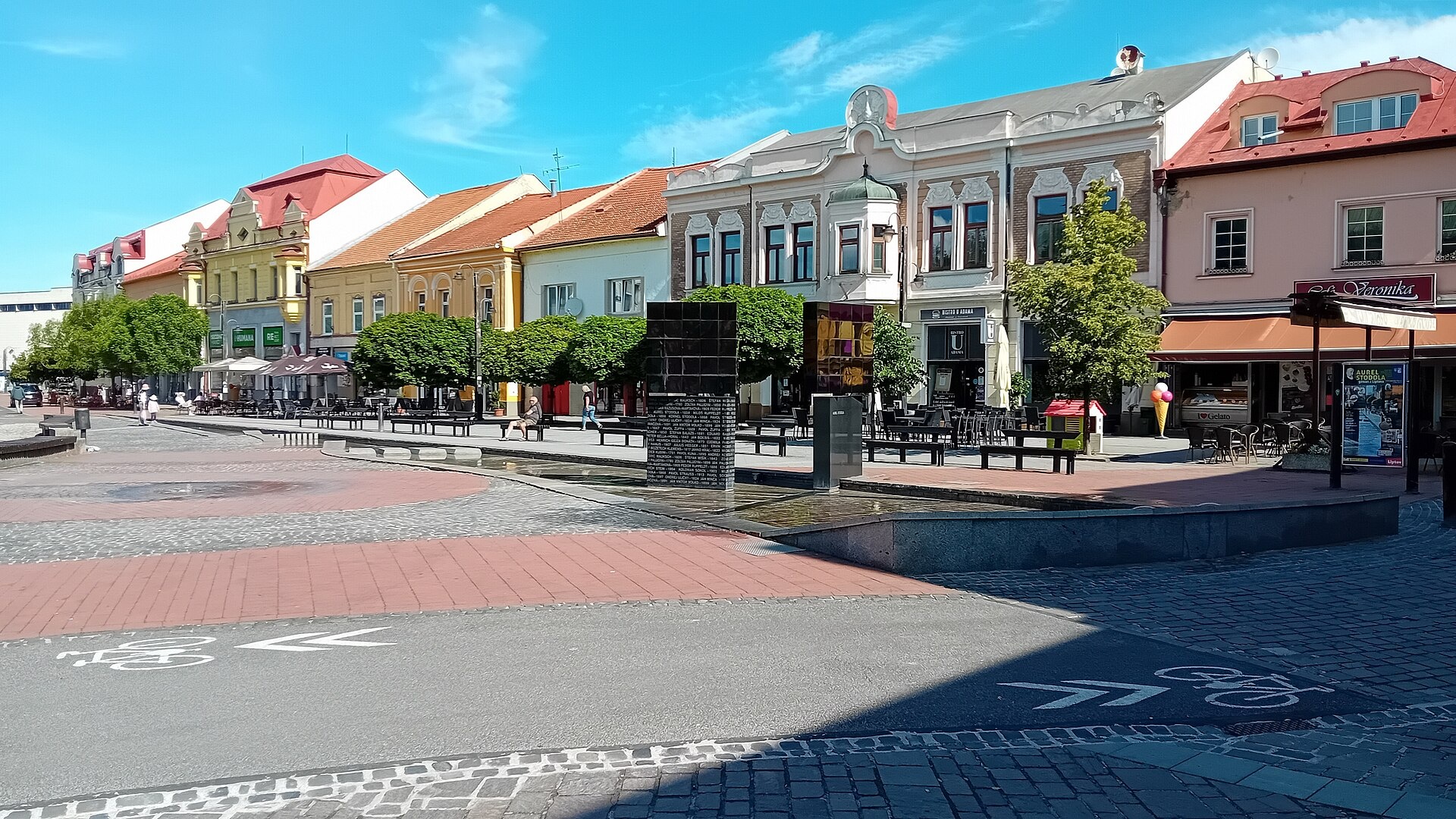
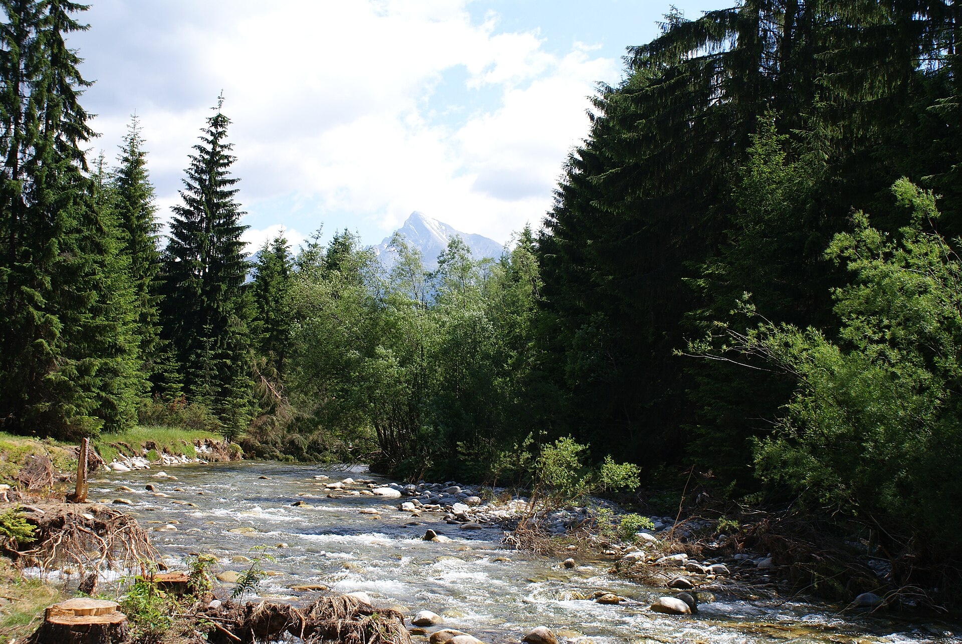
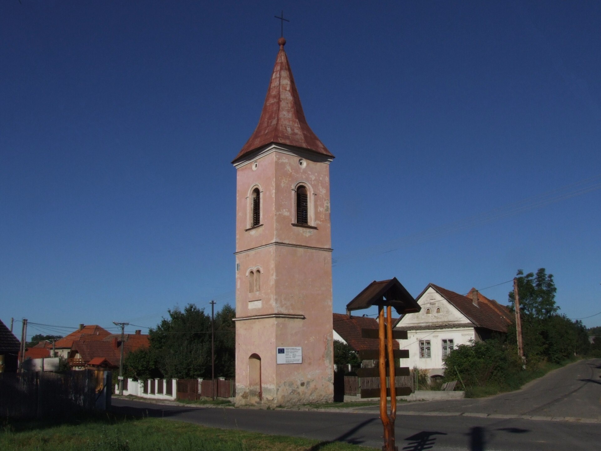
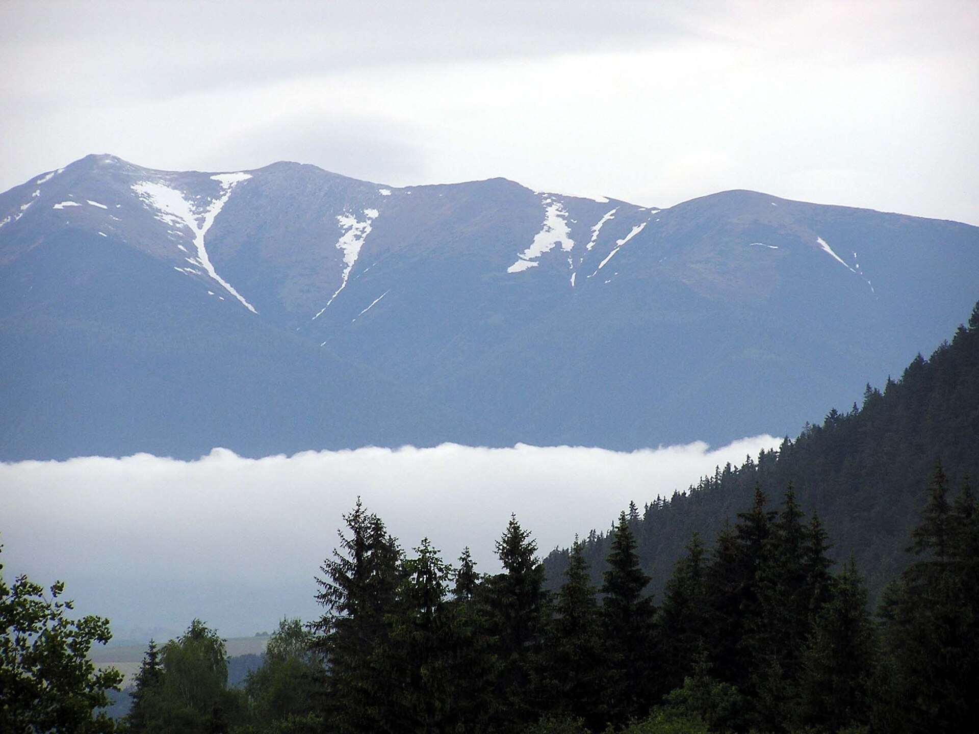
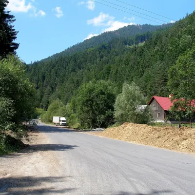
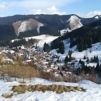
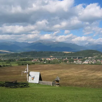
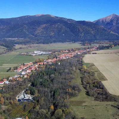
Photos: Demänovská Dolina (Pe3kZA, CC BY-SA 4.0); Liptovský Mikuláš (Vojtasekd, CC BY 4.0); Podbanské (PhDr. Pavol Svetoň, CC BY-SA 4.0); Žiar (Jerzy Opioła, CC BY-SA 4.0); Liptovský Ján (pepanos, CC BY 3.0)
Liptovský Mikuláš District is an administrative district in the Žilina region of Slovakia, located in the historical region of Liptov in the eastern part of the region. Its administrative centre is the town of Liptovský Mikuláš. The district was established in the 19th century and has existed within its current borders since the mid-20th century. It includes 54 villages and two towns: Liptovský Mikuláš and Liptovský Hrádok.
The district covers the Liptov Basin in the valley of the Váh River, surrounded by the ridges of the Low Tatras, Great Fatra, Choč and Lúbelský hills. Notable natural features include Galovany and Matiašovce groves, as well as the Liptovská Mara reservoir. Protected areas such as Hybe Gorge, Kvačianska and Prosiecka valleys are also found here.
karpaty.rocks offers routes through Demänovská Dolina, Podbanské, Liptovský Ján, Vyšná Boca, Pribylina, and to sights such as Demänovská Cave of Liberty, Liptovská Mara, the open-air museum in Pribylina, and the wooden church in Svätý Kríž. Visitors can explore hiking trails, peaks like Baranec, Chopok, Ďumbier, as well as thermal baths and craft locations.
Getting there from Ukraine
From Uzhhorod to Brezno ≈274 km, ≈3 h 50 min without queues: Uzhhorod – Vyšné Nemecké → I/19 to Košice → D1 via Prešov and Poprad to the exit near Liptovský Hrádok → I/18 and I/72 over the Čertovica Pass to Brezno. To Banská Bystrica ≈322 km, ≈4 h 30 min: D1 to Ružomberok, then I/59 via Donovaly. From Lviv: to Brezno via Uzhok and Ubľa ≈498 km (≈7 h 45 min) or through Poland ≈554 km (≈7 h 05 min); to Banská Bystrica through Poland (Kraków – Chyżne – Trstená – Dolný Kubín – Ružomberok) ≈535 km, ≈7 h 15 min. The D1 requires an e-vignette (eznamka.sk).
Sources: Wikipedia, Wikidata, OpenStreetMap, Karpaty.rocks data.
Towns and villages
 Demänovská Dolina14 trails, 4 peaks, 4 sights
 Podbanské10 trails, 2 peaks, 1 sight
 Liptovský Ján7 trails, 1 craft place, 1 spa or thermal pool
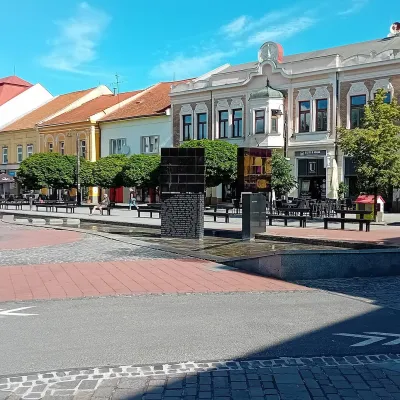 Liptovský Mikuláš4 trails, 1 sight, 1 craft place
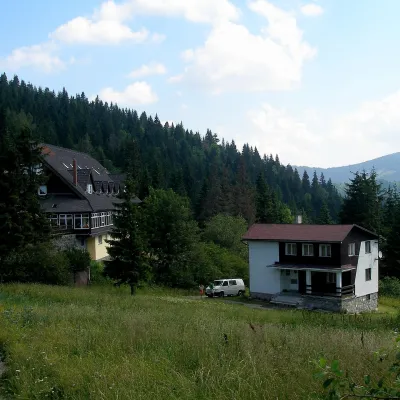 Vyšná Boca5 trails, 1 mountain hut or shelter
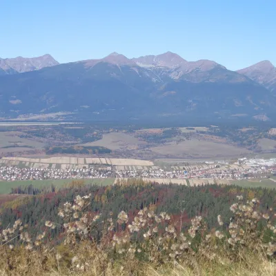 Východná3 trails, 2 craft places
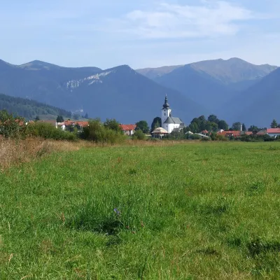 Bobrovec4 trails, 1 mountain hut or shelter
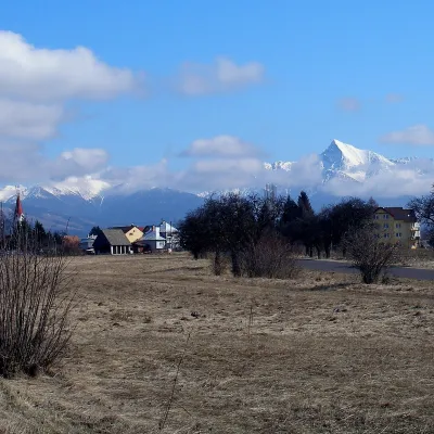 Pribylina4 trails, 1 sight
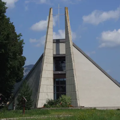 Liptovská Sielnica3 trails, 2 sights
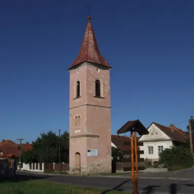 Žiar2 trails, 2 peaks, 1 mountain hut or shelter
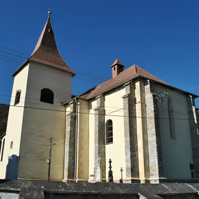 Kvačany3 trails, 1 sight
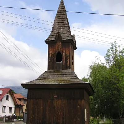 Jalovec3 trails, 1 peak
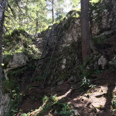 Závažná Poruba3 trails
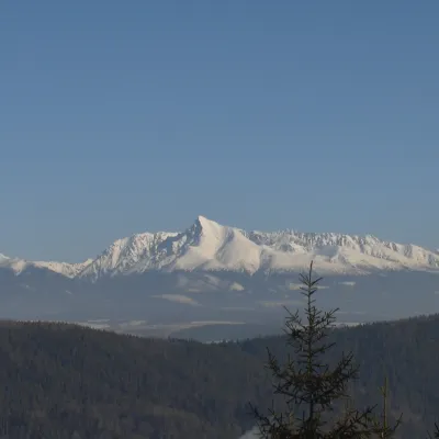 Liptovská Porúbka3 trails
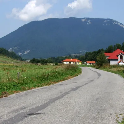 Prosiek2 trails, 1 sight
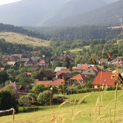 Konská2 trails, 1 peak
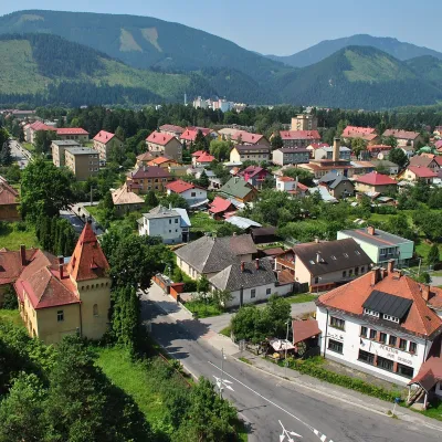 Liptovský Hrádok1 trail, 1 sight
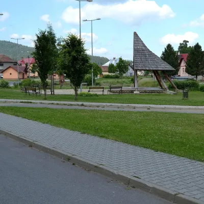 Važec1 trail, 1 sight
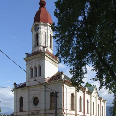 Partizánska Ľupča2 trails
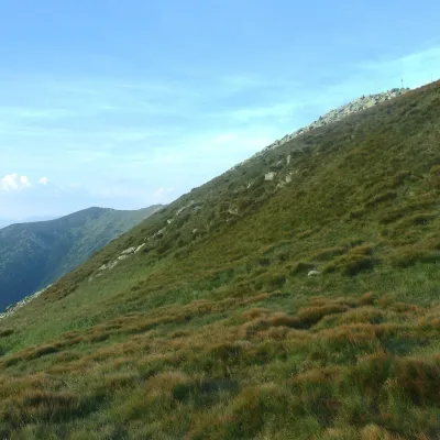 Lazisko1 peak, 1 sight
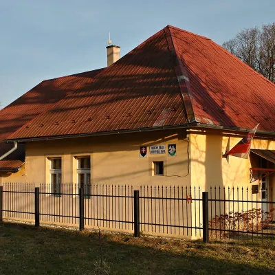 Liptovská Anna1 trail, 1 peak
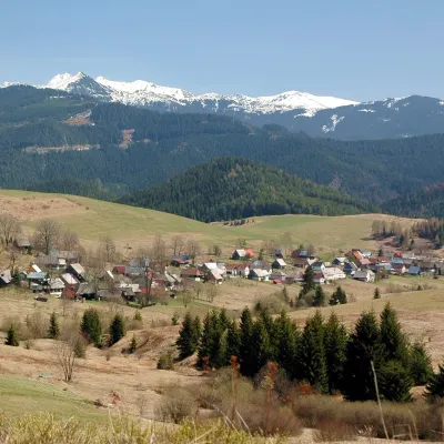 Veľké Borové1 trail, 1 peak
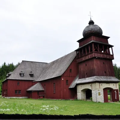 Svätý Kríž1 sight
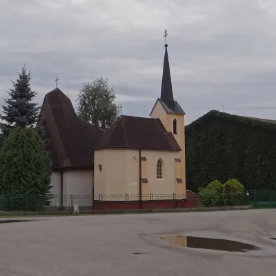 Vlachy1 trail
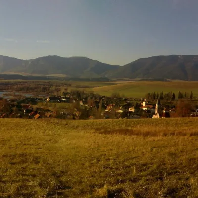 Liptovský Trnovec1 sight
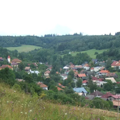 Jakubovany1 trail
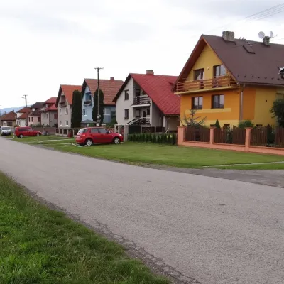 Galovany1 craft place
 Malužiná1 trail
 Nižná Boca1 trailHybe
 PodtureňLiptovská Kokava
 Smrečany
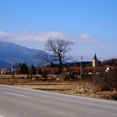 Vavrišovo
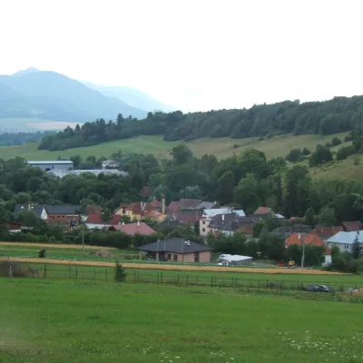 Liptovský Ondrej
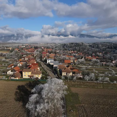 Jamník
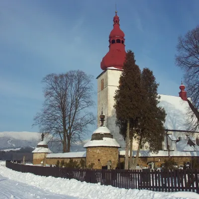 Liptovské Matiašovce
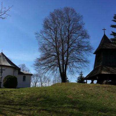 Trstené
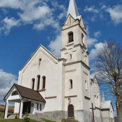 Huty
Getting there from Ukraine
Border crossings
- Uzhhorod – Vyšné Nemecké — road, 24/7
- Malyi Bereznyi – Ubľa — road, 24/7 For cars and buses; pedestrians not confirmed by the Ukrainian border service, lorries up to 3.5 t.
- Mali Selmentsi – Veľké Slemence (pedestrian) — pedestrian, 09:00–21:00 Kyiv time Pedestrians and cyclists only; inconvenient for the Tatras without onward transport.
- Chop – Čierna nad Tisou (rail) — rail, 24/7
By car
From Uzhhorod to Brezno ≈274 km, ≈3 h 50 min without queues: Uzhhorod – Vyšné Nemecké → I/19 to Košice → D1 via Prešov and Poprad to the exit near Liptovský Hrádok → I/18 and I/72 over the Čertovica Pass to Brezno. To Banská Bystrica ≈322 km, ≈4 h 30 min: D1 to Ružomberok, then I/59 via Donovaly. From Lviv: to Brezno via Uzhok and Ubľa ≈498 km (≈7 h 45 min) or through Poland ≈554 km (≈7 h 05 min); to Banská Bystrica through Poland (Kraków – Chyżne – Trstená – Dolný Kubín – Ružomberok) ≈535 km, ≈7 h 15 min. The D1 requires an e-vignette (eznamka.sk).
Checked 23.10.2026; border crossing hours and timetables change — check before you travel.
