Staryi Mizun
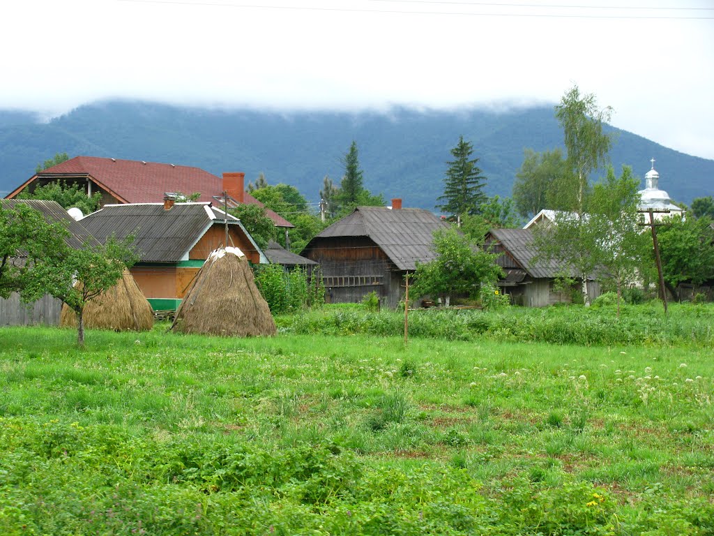
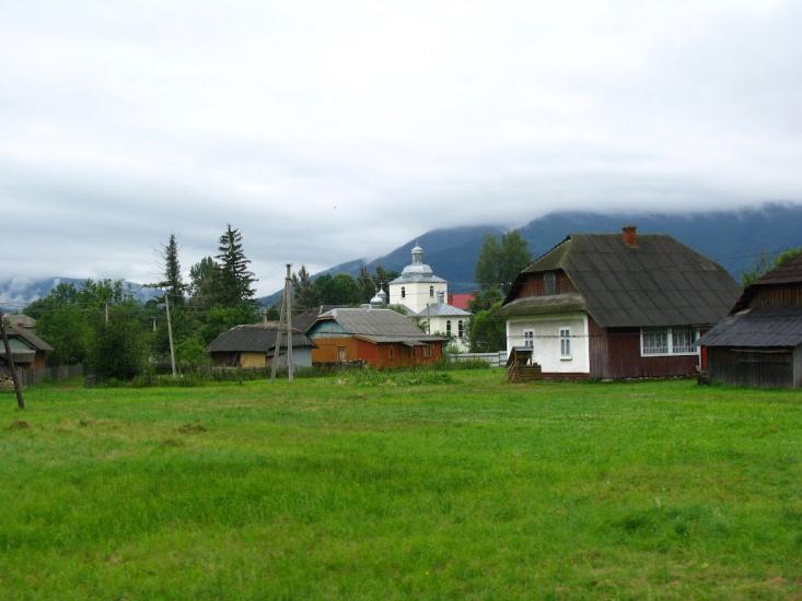
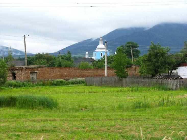
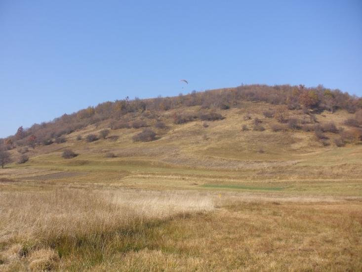
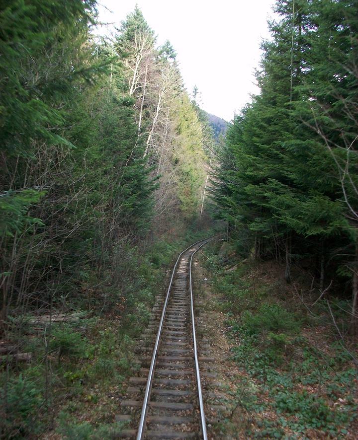
Staryi Mizun is a village in Ukraine, in the Dolyna district of Ivano-Frankivsk region. The village of Staryi Mizun lies in the valley of the Mizunka River, 9 km from the district center(the town of Dolyna) and almost closely approaches the Svicha River in the east, beyond which the village of Vyhoda begins. The population of Staryi Mizun is over 2800 people.
According to legend, the village was founded before Kyivan Rus as a defense against nomadic attacks. Until 981, Mizun was called Stare Selo, which was part of the Great Moravian State. Later, a governor of Prince Volodymyr the Great named Mizyn was sent here and the village became known as the Old Village of Mizyn. Historical documents mention the village under its present name for the first time in 1578, and in the royal charter of March 20, 1619, we read: "Sigismund III grants the right to the village starostas, who will be appointed instead of Ivan Vyshko, Antrash, Hryk, and Petro, to own the community lands in the villages of Staryi Mizun, Pshenychnyk, and Dzinkova Volya of the Dolyna starosta, which belong to the present starosta, noble Heorhiy Branytskyi, and formerly to noble Prokopiy Andykovych, and grants them the meadows in the forest called Zatulyshche, the inn in the old village of Mizun, and the mill and inn in the village of Dzinkova Volya. Dzinkova Wola..."
As we can see, this document sheds light on the fact that the village existed long ago, that the Viytys were of Ukrainian origin, that they were subordinated not to the nobility but to the king, and that they were boyars. One of them, Ivan Vyshko, who apparently moved deeper into the forest, founded the village of Vyshkiv, which was mentioned in 1640.
However, scholars claim that the village of Staryi Mizun, as a settlement, has its roots in ancient times. From the research of local ethnographer Mykhailo Krupchyn, we learned that the settlement existed first as a military outpost against nomads, and then grew into a village. Archaeological finds testify to its ancient times: stone flints and stone weights for fishing nets in the Sopotey tract. In those distant times, the Svicha River separated the tribal dwellings from the nomadic ones. That is why a military outpost was necessary. Several Ukrainian researchers have written about this in their works: Kyrylo Ustynovych, Yevhen Kukharskyi, and several Polish researchers.
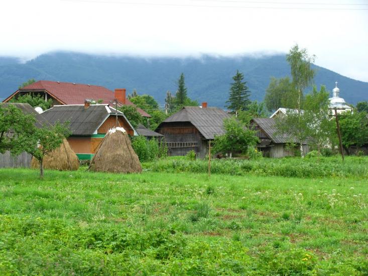
The village is rich in its cultural traditions and prominent people. Already in 1914 there was a four-grade Ukrainian school here. The village has a beautiful brick church of the Exaltation of the Holy Cross, which was built in 1886. In 2005, the UGCC community built a new church near the existing one.
In the tax register of 1515, the village documents 8 fields (about 200 hectares) of cultivated land. In 1939, 5060 inhabitants lived here (4520 Ukrainians, 280 Poles, 80 Latins, 160 Jews, 20 Germans, and other nationalities). In 1944, 126 people were killed by Hungarians. According to the MGB regional office in 1949, the OUN underground in the Vyhoda district was most active in the village of Staryi Mizun.
In August 1941, a symbolic grave for the "Fighters for the Freedom of Ukraine" was dug near the former forestry office. But in 1946 the Bolsheviks destroyed it. In 1990, the community restored the monument. A memorial sign commemorating the abolition of serfdom in 1848 was also restored. In 1967, the village erected an obelisk to the fallen soldiers during World War II, a memorial sign commemorating the victims of the Holodomor in Ukraine, a memorial sign on the school grounds to those who died during the years of repression in Ukraine, and a stele to Verkhovynets V. M., a native of Staryi Mizun village.
Nearby is the small balneological resort of Novyi Mizun. The village of Novyi Mizun was founded in the early twentieth century, when the Austro-Hungarian government, in order to Germanize Galicia, promoted the establishment of German colonies here. Several German settlements were formed in the Dolyna region, including the village of Novyi Mizun. The distance from the village to the district center is 13 km. In the Soviet post-war period, geologists discovered mineral water springs of the Naftusia type near the village, and later sanatoriums were built in Novyi Mizun, including the sanatoriums of the Vyhoda Forestry Plant and the Kalush Karpatnaftomash plant.
A narrow-gauge railroad was built through the village from Vyhoda to Mount Magura. The picturesque mountainous area attracts tourists, and the health centers are currently being reconstructed into tourist centers. The Carpathian Tram takes tourists from Vyhoda to the mountains on a narrow-gauge railway. Near Staryi Mizun there is a hydrological natural monument - the Shyrkovets swamp.
The village council, 2 Kropyvnianska Street, +38 (03477) 6-13-70, 6-11-12.
Mountain Search and Rescue Service, Vyhoda village, 66 Korolya Danyla St., +38 (067) 342-04-99, +38 (03477) 6-17-03.
What's nearby
Video 2

What to visit
Landmarks, museums and places of interest near Staryi Mizun.
 MuseumMuseum "Heritage Center of the Vygoda Narrow Gauge Railway" VygodaVyhoda2.3 km from the centreIn Ukraine, a unique Museum "Heritage Center of the Vygoda Narrow Gauge Railway" has opened in the village of Vygoda in the Dolyna district.
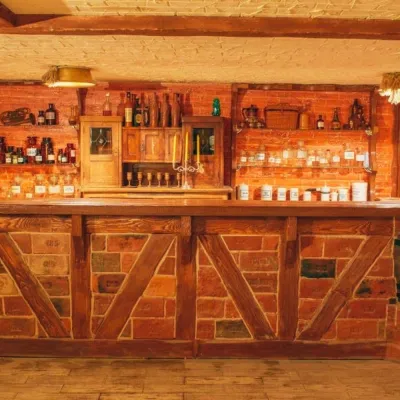 Honey & meaderiesChorna Bdzhola Meadery, VyhodaVyhoda2.5 km from the centreChorna Bdzhola (“Black Bee”) in Vyhoda is a small, cosy meadery in the Kalush district of the Ivano-Frankivsk region, where you can learn how drinking mead was...
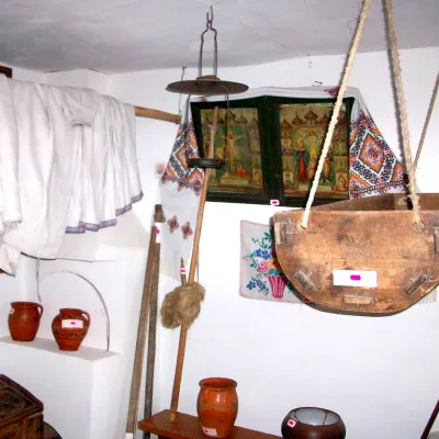 MuseumLocal history museum of Kropyvnyk villageKropyvnyk2.5 km from the centreThe museum at the Kropyvnytskyi secondary school named after M. Its purpose is to involve students in the study and preservation of the historical and cultural...
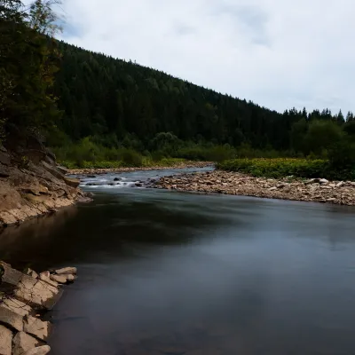 RiverSvicha RiverVyhoda2.9 km from the centreThe Svicha is a 107-km right-bank tributary of the Dniester. It rises on the northern slopes of the main Gorgany divide, flows through Vyhoda, where the Mizunka joins...
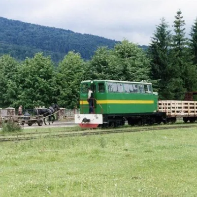 Heritage transportCarpathian TramVyhoda2.9 km from the centreIn 1873, Austrian entrepreneur Baron Leopold Popper von Podgari moved the headquarters of his company from Hungary to Galicia.
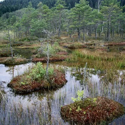 NatureShyrkovets Swamp, Novyi MizunNovyi Mizun3.7 km from the centreShyrkovets Swamp is a well-known hydrological monument of national significance. It is located in the Dolynskyi district of Ivano-Frankivsk region, between the...
Craft nearby
All craft places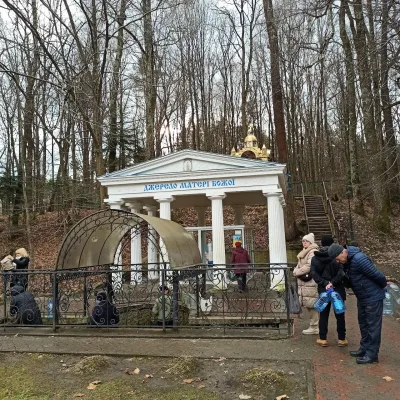 Theme parksSpring No. 4 of the Mother of God, MorshynMorshyn25 km from the centreSpring No. 4, also known as the Spring of the Mother of God, is Morshyn’s most famous mineral spring and probably the resort’s best-loved spot.
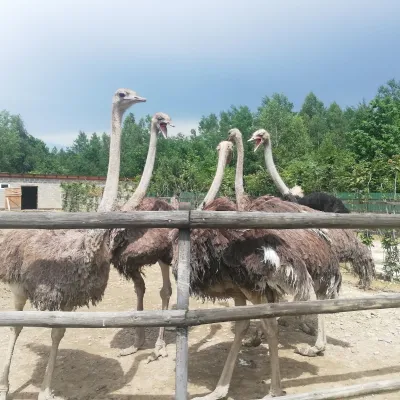 Wildlife parks & animal farmsSavanna Ostrich Farm, LovahyLovahy27 km from the centreSavanna Ostrich Farm is an unexpected find in the Carpathian foothills. It lies in the small Boyko village of Lovahy in the Kalush district, not far from Nebyliv,...
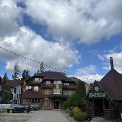 Koliby & Hutsul cuisineKoliba “Smerekova Khata”, SlavskeSlavske31 km from the centreKolyba “Smerekova Khata” is the ethno-restaurant of the hotel complex of the same name at the entrance to Slavske, one of the best-known mountain resorts of the Boyko...
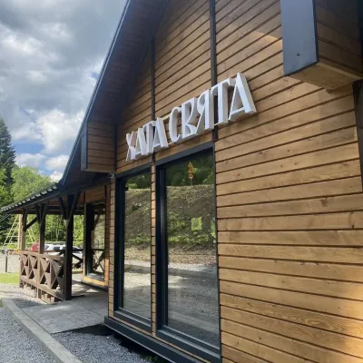 Koliby & Hutsul cuisineKhata Sviata Restaurant, HrebenivHrebeniv31 km from the centreKhata Sviata restaurant is a small timber restaurant in the village of Hrebeniv between Skole and Slavske, serving Boyko cooking in a modern way but with respect for...
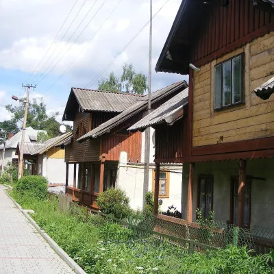 Ethno tours & guidesBarvy Karpat Excursions, SlavskeSlavske32 km from the centreBarvy Karpat («Colours of the Carpathians») is a small local excursion organiser based in Slavske, one of the best-known resorts of the Skole Beskids.
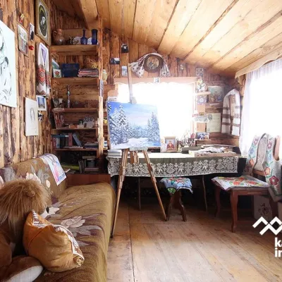 Crafts & workshopsViktoria Art Gallery, SlavskeSlavske32 km from the centreThe Viktoria Art Gallery in Slavske is a small family gallery and studio where art lives not behind glass but in the homely atmosphere of a wooden house.
Where to stay
Hotels, sadybas and cottages in and around Staryi Mizun.
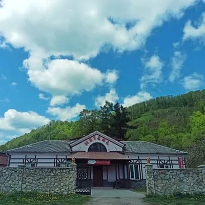 MotelVOLODARDolyna2.5 km from the centreBBQParkingWi‑FiNearby: Carpathian Tram 900 mShyrkovets Swamp 6.1 kmfrom 1 000 UAH per night
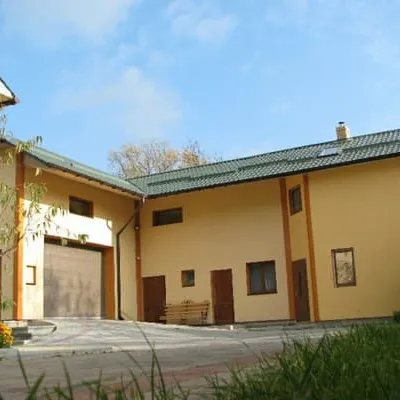 HotelOrtusDolyna3.1 km from the centreSaunaParkingWi‑FiNearby: Carpathian Tram 1.5 kmShyrkovets Swamp 6.8 kmfrom 6 000 UAH per night
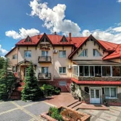 HotelKnyaz OlegDolyna7.7 km from the centreParkingWi‑FiPetsNearby: House of the Sokol Society 2.9 kmSynagogue 2.9 kmfrom 880 UAH per night
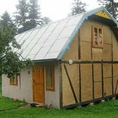 HotelNa Babiyiviy HoriDolyna9.1 km from the centreSaunaBBQParkingNearby: Synagogue 1.1 kmOksana Hrytsiy Museum 1.4 kmfrom 3 120 UAH per night
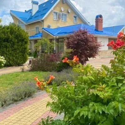 HotelMotelDolyna9.2 km from the centreParkingWi‑FiNearby: House of the Sokol Society 3.5 kmSynagogue 3.6 kmfrom 1 300 UAH per night
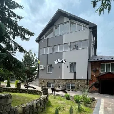 HotelMlynDolyna11 km from the centreHot tubBBQParkingNearby: Synagogue 5.7 kmSaltworks 6.9 kmfrom 1 600 UAH per night
Trails nearby
All trails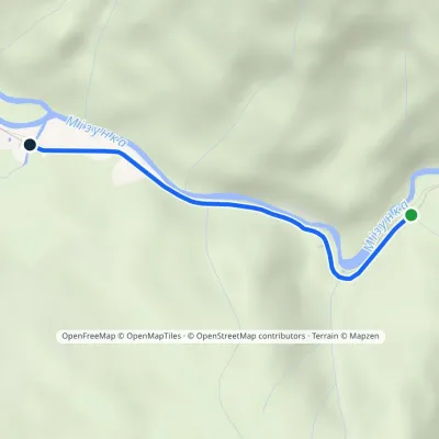 EasyOne-dayMarkedMizunskyi Waterfall Dubovyi KutElevation profile527–556 m2.8 kmascent 25 m≈ 45 min walking6.6 km from the centre
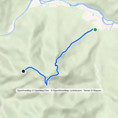 EasyOne-dayMarkedRoute to Mount ShchavnaElevation profile575–1 176 m5 kmascent 601 m≈ 2.5 h walking8.8 km from the centre
 EasyOne-dayMarkedLypa village Robert's Bunkervia YavorynaElevation profile604–1 073 m11.2 kmascent 4 m≈ 3 h walking12 km from the centre
Peaks nearby
All peaks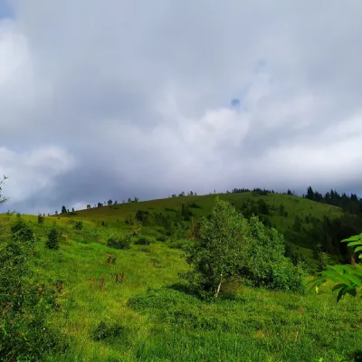 PeakMount YavorinaIvano-Frankivskaltitude 1 131 m13 km from the centreMount Yavorina is located near the village of Lypa in the Dolyna district of Ivano-Frankivsk region, with a height of 1131 meters.
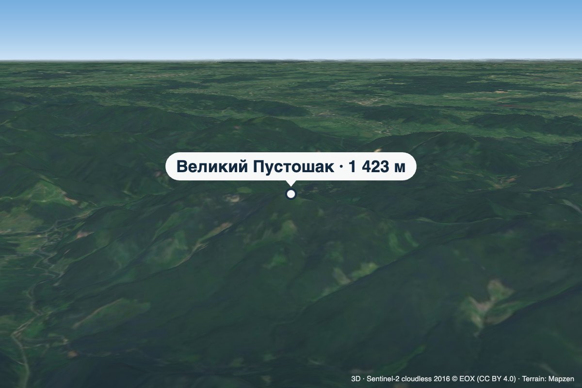 PeakMount Velykyi PustoshakMyslivkaaltitude 1 423 m · Gorgany range18 km from the centreVelykyi Pustoshak is a 1,423 m summit (1,427 m according to other sources) in the northern Gorgany, in the Kalush district of Ivano-Frankivsk Oblast.
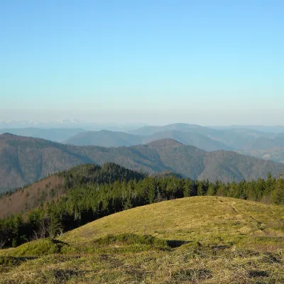 PeakMount MahuraLybokhoraaltitude 1 363 m · Skole Beskids range20 km from the centre1 trail to the topMahura is a peak of the Skole Beskids. It stands on the border of the Stryi district of Lviv Oblast and the Dolyna district of Ivano-Frankivsk Oblast, between the Opir...
