Vyshkiv
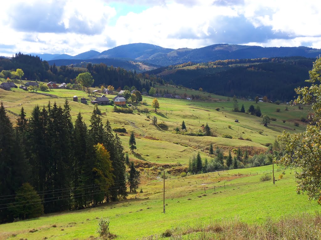
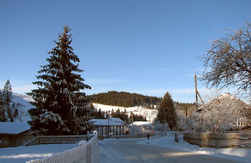
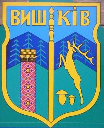
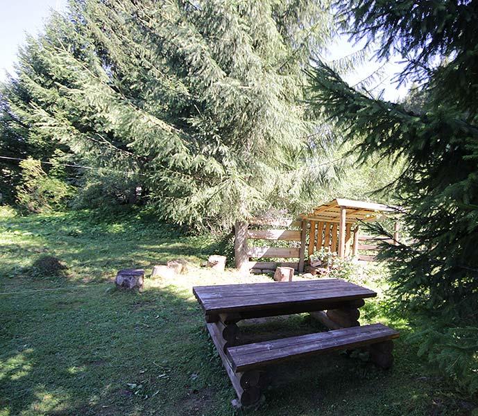
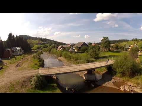
Vyshkiv is a village in Dolyna district of Ivano-Frankivsk region. It is located at an altitude of 800 meters above sea level, in the upper reaches of the Mizunka River valley, next to the main watershed ridge. The village is located on the Dolyna-Khust highway, which crosses the Vyshkivskyi Pass from the north and the Torunskyi Pass from the south. The road to the neighboring village of Senechiv (Semychiv) goes to the west. In the village, the streams Sidynovets and Strymba flow into the river Mizunka.
In 1939, the village had 690 inhabitants (595 Ukrainians, 40 Poles, 10 Latin, 40 Jews, and 5 Germans and other nationalities).
Vyshkiv is a village located 45 km from the town of Dolyna. It was founded in the middle of the thirteenth century. Its good location - proximity to the nearby ski resorts and excellent weather conditions - create all the conditions for recreation and relaxation in Vyshkiv. It is worth climbing the Vyshkivsky Pass (931 m above sea level). Another interesting place to visit is the hydrological natural monument - the Lysak swamp, which is located at an altitude of 800 meters above sea level on the territory of the Svichiv forestry.
Vyshkiv is a convenient point to start traveling to Vyshkivskyi Horhan and Lake Synevyr. To the west, a marked route leads through the peaks of Chorna Ripa and Vysokyi Verkh in the village of Slavske, Lviv Oblast.
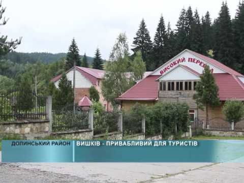
On the territory of the Vysokyi Pereval recreation center, there is a 700-meter-long drag lift with a height difference of up to 200 meters. The track is 950 m long.
Nearby tourist sites and interesting places (attractions):
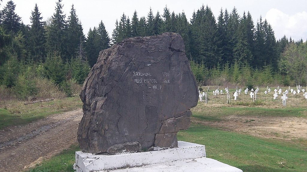
- Austrian cemetery of the World War I period;
- The monastery of the Basilian Fathers on Yasna Hora in Hoshiv;
- Carpathian tram.
The best way to get to the village is by rail: by train to the town of Dolyna, then by car. By bus: by bus from Kyiv, Lviv, Khust, etc. By personal transport: from the town of Dolyna by road P 21.
Vyshkivska village council, 112 Nova St., +38 (03477) 9-02-37, 9-02-42.
Mountain Search and Rescue Service, Vyhoda village, 66 Korolya Danyla St., +38 (067) 342-04-99, (067) 342 04 09; +38 (03477) 6-17-03.
What to visit
Landmarks, museums and places of interest near Vyshkiv.
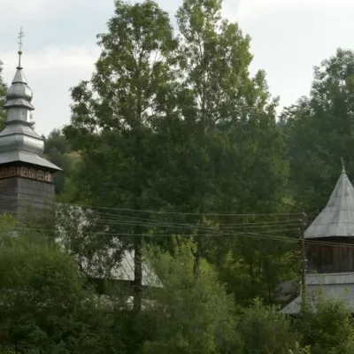 ChurchChurch of the Presentation of the Blessed Virgin Mary, TorunTorun9.7 km from the centreTheChurch of the Presentation in the village of Torun in the Zakarpattia region was built back in 1809 and is an architectural monument of national importance (No. 1127).
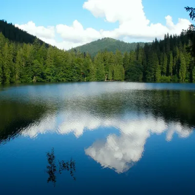 LakeSynevyr Lake Synevyrska PolyanaSynevyrska Polyana12 km from the centreLake Synevyr, located on the territory of the National Nature Park of the same name in Mizhhirya district of Zakarpattia region, is the largest and one of the most...
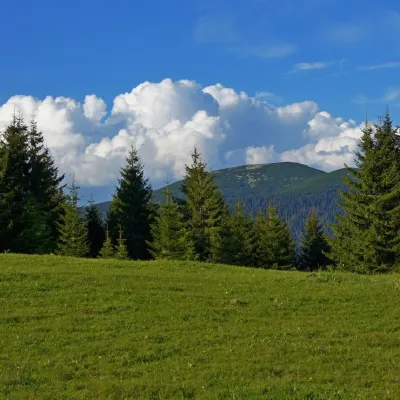 Mountain meadowPolonyna HychaSvoboda16 km from the centrePolonyna Hycha is a cozy meadow in the Ukrainian Carpathians, located in the Rozhniativ district of Ivano-Frankivsk region, east of the village of Svoboda.
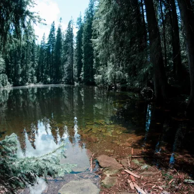 LakeLake Arshitsa, OsmolodaOsmoloda17 km from the centreLake Arshytsia is the highest lake on the ridge (1300 m) and was recently discovered in April 2009 by a tourist from the Dolyna, Viktor Verkhovynets, as evidenced by a...
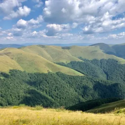 Mountain meadowPolonyna ShchavnaNovyi Mizunaltitude 1 173 m17 km from the centrePolonyna Shchavna is located at an altitude of 1173 meters above sea level and is situated in Ivano-Frankivsk region, near the Skole Beskydy reserve and the town of...
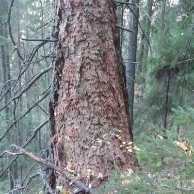 NatureYaykivsky Botanical ReserveOsmoloda18 km from the centreYaykivsky Reserve is a botanical reserve of national importance in Ukraine. It is located west of the village of Osmolody, Rozhniativ district, Ivano-Frankivsk region,...
Where to stay
Hotels, guesthouses and cottages in and around Vyshkiv.
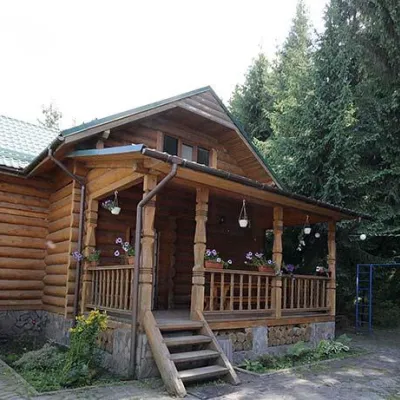 CottageCottages "Pid Lisom" VyshkivVyshkivunder 1 km from the centreHot tubPoolSaunaNearby: Big Megla 9.3 km
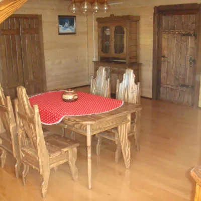 HomesteadGuest House "Zator" VyshkivVyshkivunder 1 km from the centrePoolSaunaKitchenNearby: Big Megla 9.8 km
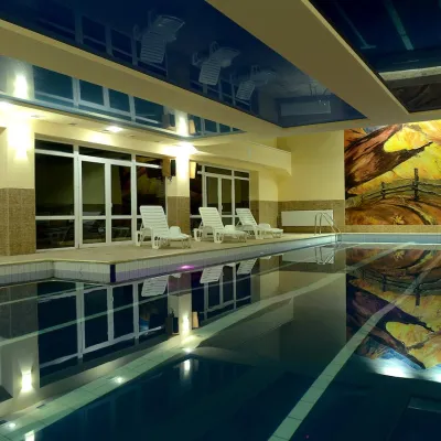 HotelHotel "Yalynka" VyshkivVyshkivunder 1 km from the centrePoolSaunaSPANearby: Big Megla 9.9 km
Trails nearby
All trails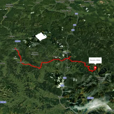 HardMulti-dayUnmarkedSlavske village to Lake Synevyrvia the Bukovets PassElevation profile583–1 328 m53.8 kmascent 2 170 m2.6 km from the centre
 HardMulti-dayMarkedEast Carpathian Tourist TrailElevation profile635–1 819 m278.1 kmascent 14 105 m3.3 km from the centre
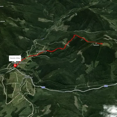 EasyOne-dayMarkedMyslivka GurgulatElevation profile651–1 421 m6.1 kmascent 156 m≈ 2 h walking6.6 km from the centre
Peaks nearby
All peaks PeakBig MeglaSvobodaaltitude 1 305 m · Svydovets range9.3 km from the centreMount Velyka Mehla (also known as Velykyi Mehlyn) is one of the highest peaks in Transcarpathia, located in western Ukraine in the Svydovets Mountains.
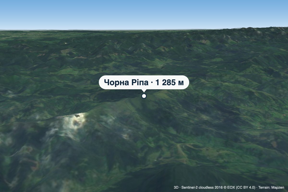 PeakMount Chorna RipaNovoselytsiaaltitude 1 285 m · Watershed Ridge range10 km from the centreChorna Ripa is a 1,285 m summit in the Eastern Beskids, on the Vododilnyi (Verkhovyna Watershed) Ridge.
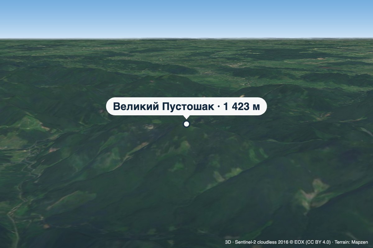 PeakMount Velykyi PustoshakMyslivkaaltitude 1 423 m · Gorgany range13 km from the centreVelykyi Pustoshak is a 1,423 m summit (1,427 m according to other sources) in the northern Gorgany, in the Kalush district of Ivano-Frankivsk Oblast.
What's nearby
Video