Šarišské Michaľany
Šarišské Michaľany is a village in Slovakia.
Elevation: about 313 m above sea level. Population: 2,675 (2025).
Here and nearby on the site: 1 trail.
Facts: Wikidata, OpenStreetMap. More on Wikipedia
Comments
Travellers’ experience: reports, tips, questions.
No one has written here yet. Be the first — your experience helps others.
What's nearby
Trails nearby
All trails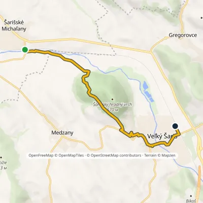 EasyOne-dayMarkedVeľký Šariš station Šarišské MichaľanyElevation profile263–438 m7.5 kmascent 149 m≈ 2 h walkingunder 1 km from the centre
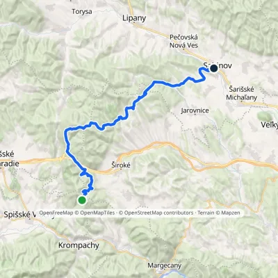 Hard1–2 daysMarkedSabinov Branisko PassElevation profile320–1 098 m39.3 kmascent 1 046 m≈ 11.5 h walking5 km from the centre
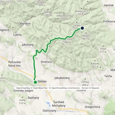 ModerateOne-dayMarkedSabinov Čergov Saddle, hutsElevation profile320–1 068 m16 kmascent 796 m≈ 5.5 h walking5 km from the centre
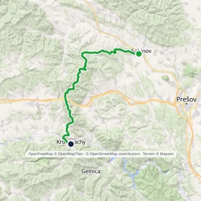 HardTwo-dayMarkedSabinov Krompachyvia Branisko PassElevation profile321–1 129 m48.9 kmascent 1 967 m5 km from the centre
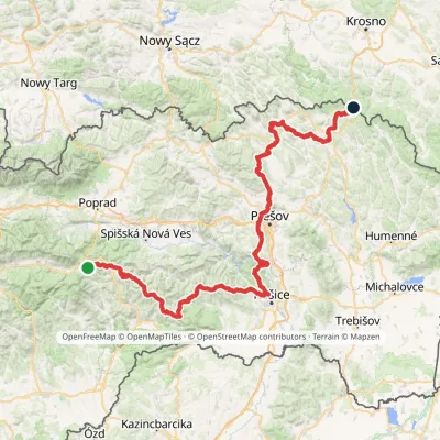 HardMulti-dayMarkedPred Čuntavou Dukliansky PassElevation profile227–1 293 m280.7 kmascent 8 346 m5.4 km from the centre
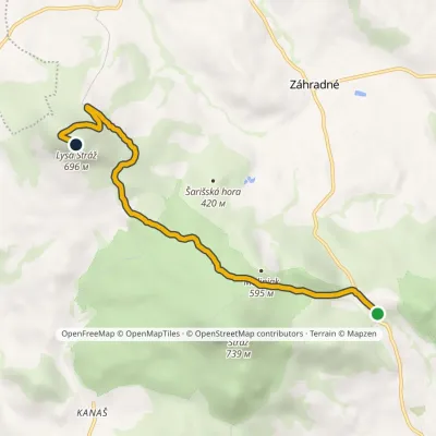 EasyOne-dayMarkedFintice, quarry Zimná studňaElevation profile406–696 m6.2 kmascent 431 m≈ 2.5 h walking6.9 km from the centre
Peaks nearby
All peaks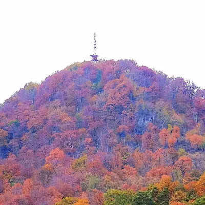 PeakStrážFinticealtitude 740 m8.8 km from the centreStráž (also Veľká Stráž) is a forested 740 m hill of volcanic origin in the Spiš-Šariš Intermountain (Spišsko-šarišské medzihorie) in eastern Slovakia.
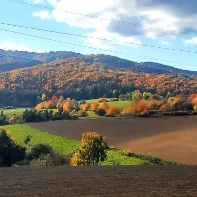 PeakRoháčkaMargecanyaltitude 1 028 m19 km from the centre1 trail to the topRoháčka is the highest summit of the Čierna hora hills, one of the units of the Slovak Ore Mountains in eastern Slovakia.
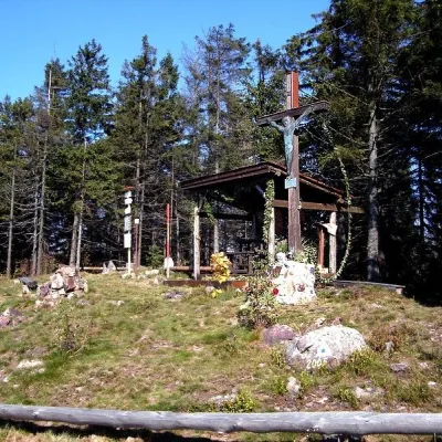 PeakSmrekovica (Branisko)Vyšný Slavkovaltitude 1 200 m19 km from the centreSmrekovica is the highest peak of the Branisko Mountains in eastern Slovakia, 1200 m high (1199.9 m to be exact).
What to visit
All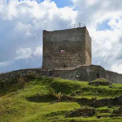 CastleŠariš Castle near PrešovVeľký Šariš3.5 km from the centreŠariš Castle (Šarišský hrad) is one of the largest medieval fortresses in Slovakia: its built-up area exceeds 2.7 ha.
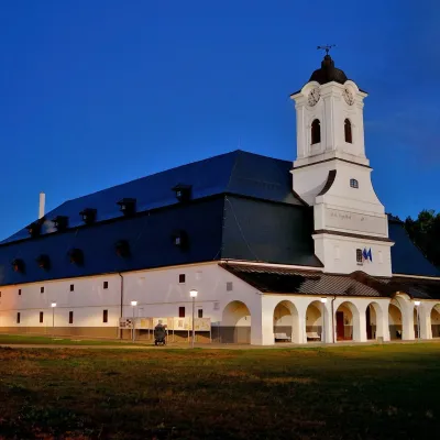 MuseumSolivar Museum, Prešov — historic salt worksPrešov14 km from the centreThe Solivar Museum (STM – Múzeum Solivar v Prešove) is a branch of the Slovak Technical Museum in Košice, housed in the historic salt works on the south-eastern edge...
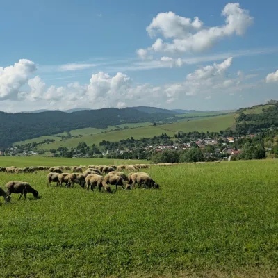 Cheese dairies & pasturesFarma Kamenica — Family Sheep Farm and Cheese Dairy in ŠarišKamenica20 km from the centreKamenica is a village in northern Šariš, in the valley of the Kameničanka stream, at about 483 m above sea level.
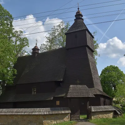 ChurchWooden Church of St Francis of Assisi, HervartovHervartov20 km from the centreIn the middle of the village, on a small rise, stands the Roman Catholic wooden Church of St Francis of Assisi, built at the end of the 15th century in the Gothic...
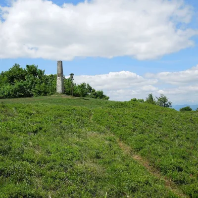 Mountain meadowThe meadow of Čergov's Minčol, the highest peak of the Čergov mountainsKyjovaltitude 1 157 m21 km from the centreČergov's Minčol (Minčol, 1,157 m) is the highest summit of the Čergov mountains in eastern Slovakia, where the districts of Bardejov, Sabinov and Stará Ľubovňa of the...
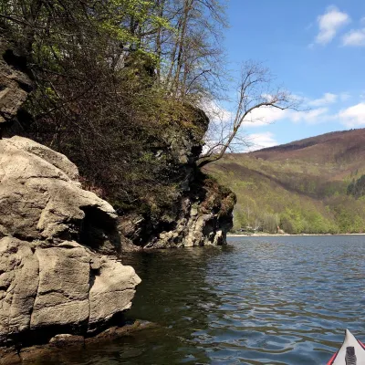 LakeRužín reservoir on the HornádMalá Lodina · Slovak Ore Mountains24 km from the centre327 m above sea levelarea 3.9 km²up to 54 m deepRužín is a reservoir on the Hornád river in the deep, winding valley of the Čierna hora hills, the north-eastern part of the Slovak Ore Mountains, a dozen or so...
Huts, shelters and springs nearby
Getting there from Ukraine
Border crossings
- Uzhhorod – Vyšné Nemecké — road, 24/7
- Malyi Bereznyi – Ubľa — road, 24/7 For cars and buses; pedestrians not confirmed by the Ukrainian border service, lorries up to 3.5 t.
- Mali Selmentsi – Veľké Slemence (pedestrian) — pedestrian, 09:00–21:00 Kyiv time Pedestrians and cyclists only; inconvenient for the Tatras without onward transport.
- Chop – Čierna nad Tisou (rail) — rail, 24/7
By car
From Uzhhorod ≈138 km, ≈2 h 30 min without queues: Uzhhorod – Vyšné Nemecké → I/19 to Michalovce → I/18 via Vranov nad Topľou towards Prešov → I/545 to Bardejov (≈133 km, ≈2 h 20 min from the border). From Lviv it is faster through Poland: M-10 → Krakovets – Korczowa → A4 to Dębica → DK73 to Jasło → DK28 to Gorlice → DW977 over the internal Schengen crossing Konieczna – Becherov → I/545 to Bardejov: ≈329 km, ≈5 h 10 min (≈251 km, ≈3 h 40 min from the border). Via the Uzhok Pass and Ubľa ≈345 km, ≈6 h 20 min.
Checked 23.10.2026; border crossing hours and timetables change — check before you travel.
