Raba River
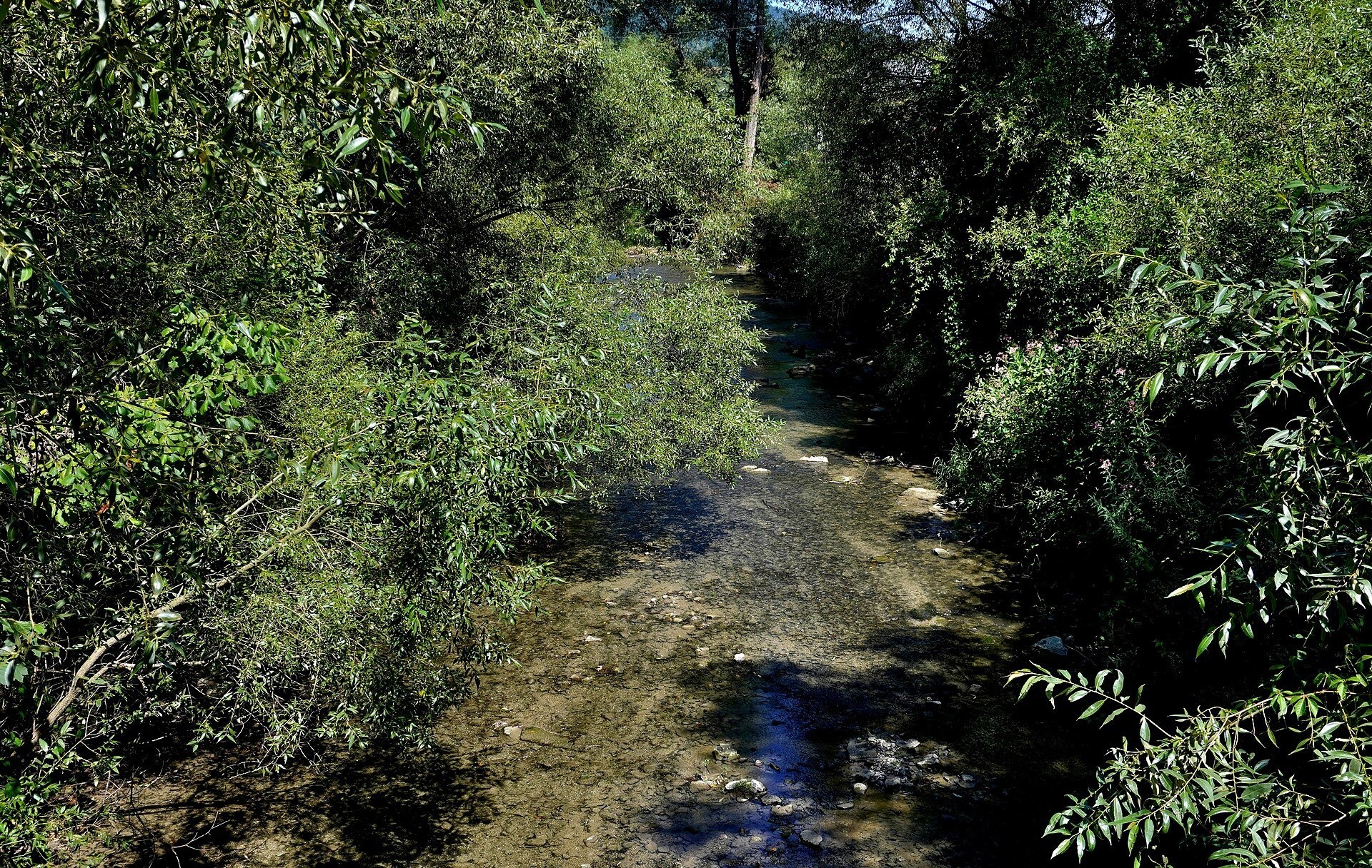
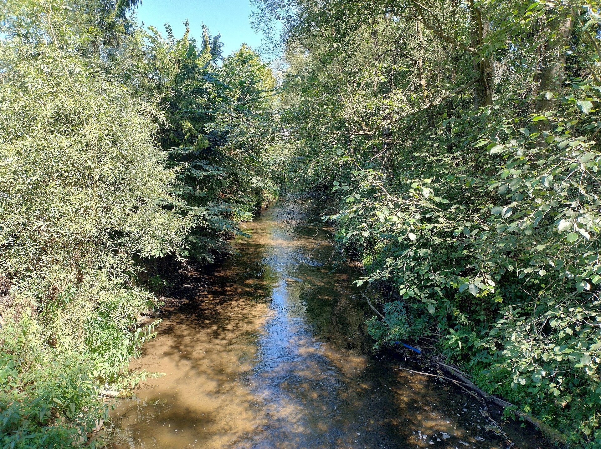
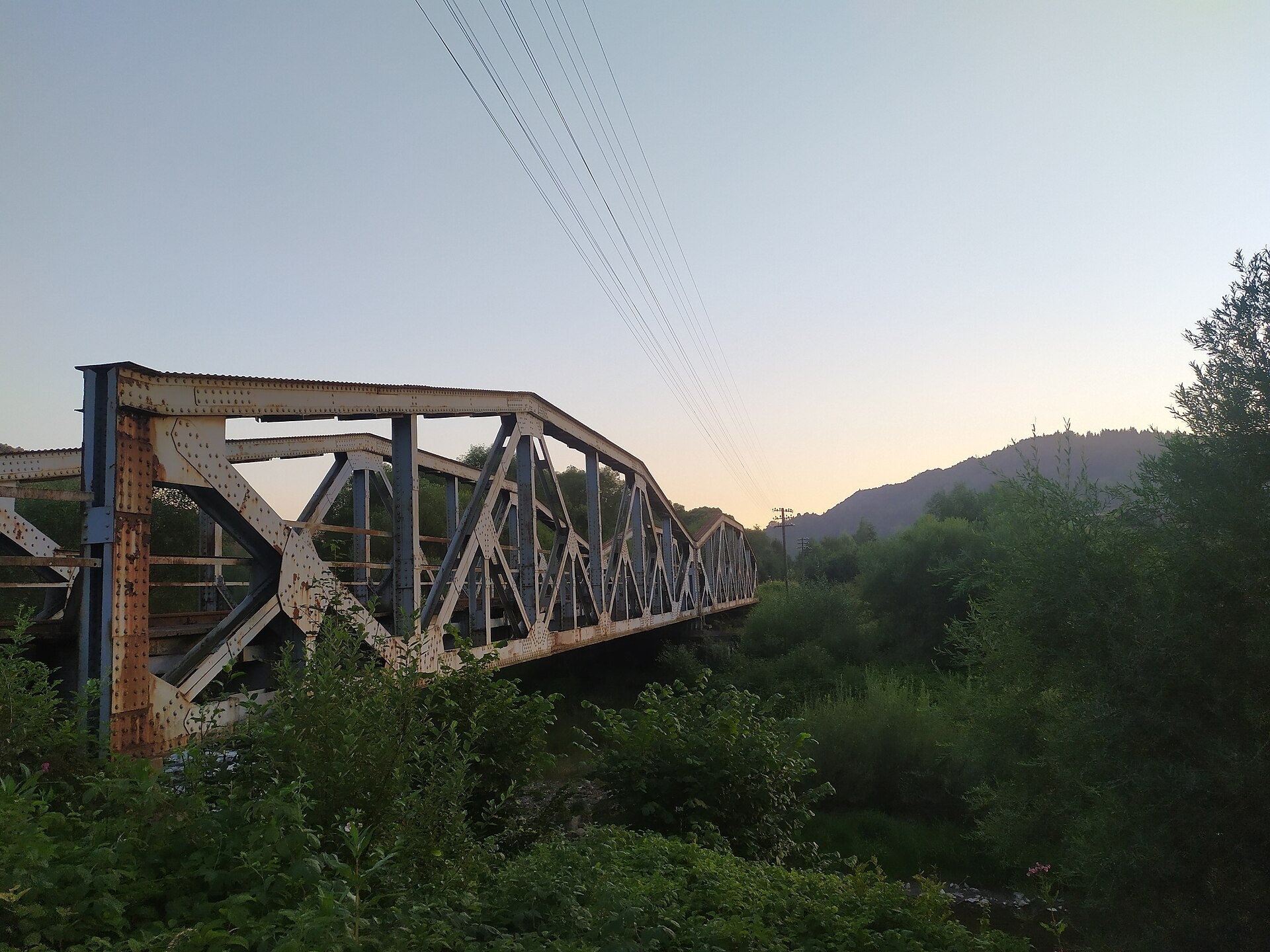
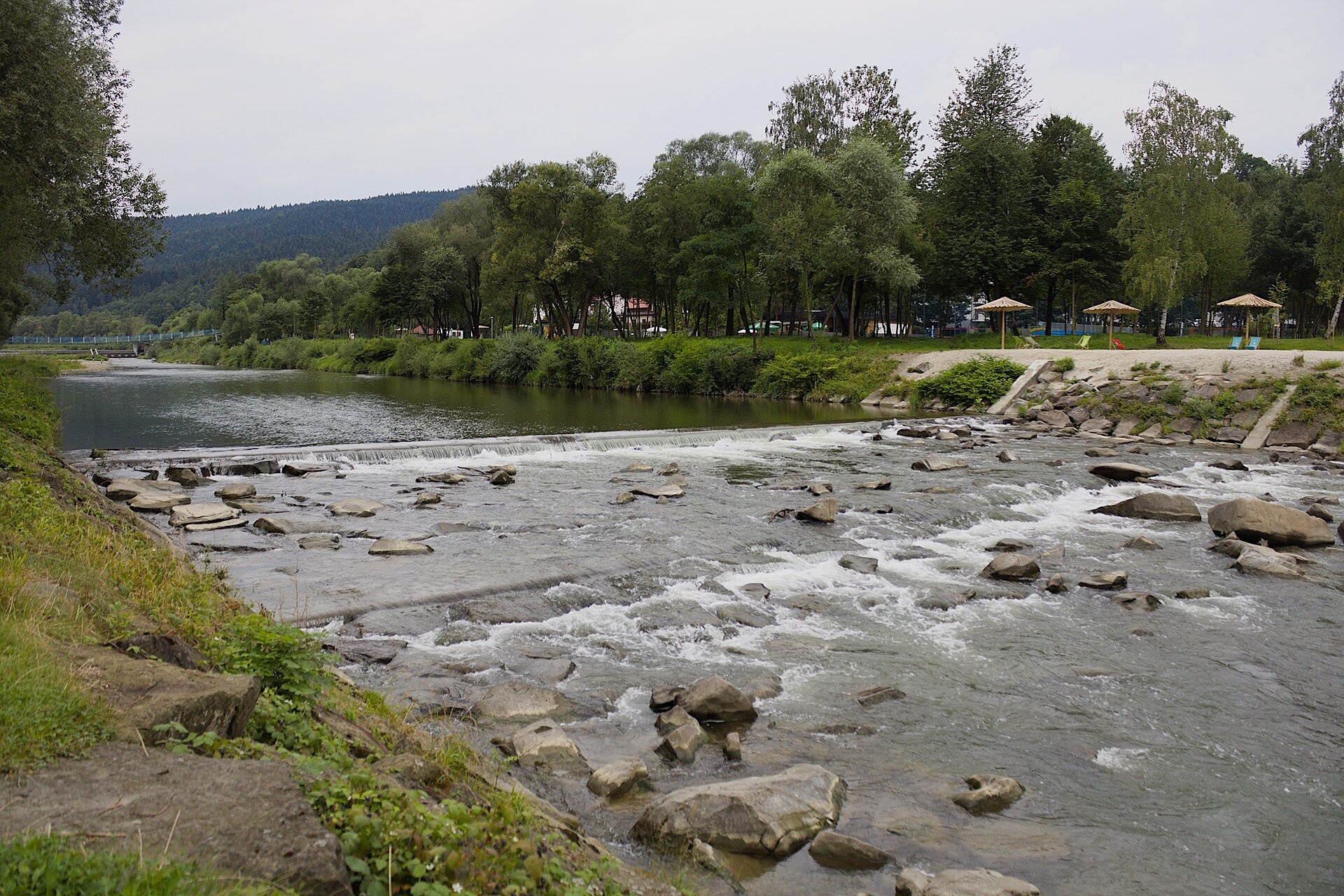
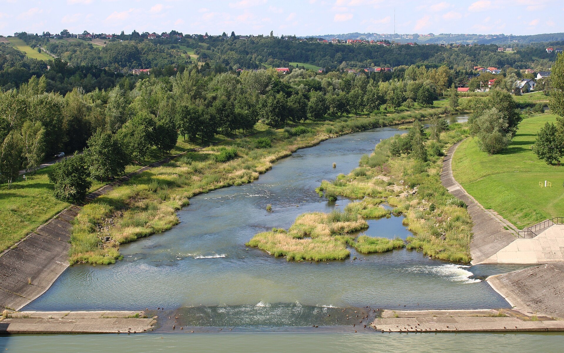
The Raba is a right-bank tributary of the Vistula in the Lesser Poland Voivodeship. It is 131.9 km long, its basin covers 1,537.1 km², and 86% of that basin lies in the Carpathians. The Raba rises in the Beskids between Rabka and Nowy Targ, flows north and north-east through the Beskids and the foothills, and in the Sandomierz Basin near Uście Solne joins the Vistula. For centuries its valley was an important route along which villages and towns grew; the river's name is probably of Celtic origin.
The course: from source to mouth
The springs of the Raba lie on the Obidowa ridge, on the slopes of Kułakowy Wierch, at about 774 m; the river is also fed by streams from below Żeleźnica in the Beskid Orawsko-Podhalański and from Rabska Góra. Its course is divided into three parts: the upper course in the Beskids (60 km, average gradient 8.5‰), the middle course in the foothills (34 km) and the lower course in the Sandomierz Basin (43 km). Down to Myślenice the Raba is a typical mountain river with a stony bed, a dense network of steep tributaries and narrow valleys.
The river flows north-east down a narrow valley through Sieniawa, Raba Wyżna, Chabówka and Rabka-Zdrój. Below, it crosses the basin of Mszana Dolna, where it turns north-west, passes between Szczebel and Lubogoszcz, and from Lubień runs straight north through Pcim to Myślenice. On this stretch the Raba separates the Beskid Makowski from the Beskid Wyspowy. Between Myślenice and Dobczyce it is held back by the dam of the Dobczyce reservoir; below, it still meanders over gravel for a long way, passing Gdów and Bochnia. Tributaries include the Poniczanka, Słonka, Mszanka, Kasinianka, Krzczonówka, Trzemeśnianka and the largest right-bank one, the Stradomka.
What to see along the river
- Chabówka Railway Open-Air Museum — steam locomotives and carriages by the railway junction above the Raba.
- Rabka-Zdrój spa: brine graduation tower, pump rooms, treatments — a spa in the Raba valley.
- Władysław Orkan Museum in Rabka-Zdrój — close to the riverbank.
- Lake Dobczyce — an artificial lake between Myślenice and Dobczyce (see below).
The river and people
The Raba is one of the few large rivers of the Polish Carpathians on which rafts were never floated and boats never sailed. Wincenty Pol wrote that of all the Vistula's tributaries the Raba's waters are the wildest: down to Myślenice the bed is blocked by mountain weirs, in the upper course by fallen trees and stones, with frequent shallows, lower down by sharp bends, and there was little timber upstream, so there was nothing to float. Floods on the Raba were a familiar disaster until the Dobczyce reservoir was built in 1986. The decision was taken in 1970; before filling, 70 ha of forest were cut down and villages, roads, a cemetery, schools and factories were moved. The dam is 30 m high and 617 m long, the lake covers up to 10.65 km² and holds 127 million m³. The reservoir supplies about 55% of Kraków's drinking water, so for sanitary reasons access to the water is banned; a small hydroelectric plant works below the dam.
Nature and safety
The Raba is home to the noble crayfish, and until the 1970s European pond turtles lived in the oxbows between Pcim and Lubień. The Dobczyce reservoir has become a refuge for waterbirds — grey herons, gulls and mute swans. Access to the reservoir's water is not allowed, as it is a drinking-water source. The Raba is a fast mountain river, so after downpours and in spring keep away from undercut banks. Mountain rescue is GOPR: 985 or +48 601 100 300; the general emergency number is 112.
Nearby: peaks, trails, huts
Above Rabka rises Luboń Wielki, reached by the trail Rabka – Luboń. Above the valley between Mszana Dolna and Lubień stand Szczebel and Lubogoszcz, and the Main Trail of Beskidy crosses the Raba valley.
Photos: Mach240390, CC BY 4.0, Wikimedia Commons; If you are willing to use this photo, please caption it as follows: author:..., CC BY-SA 3.0, Wikimedia Commons; Mathieu Mars, CC BY-SA 4.0, Wikimedia Commons; Przykuta, CC BY-SA 3.0, Wikimedia Commons; Jerzy Opioła, CC BY-SA 4.0, Wikimedia Commons.
Getting there from Ukraine
Border crossings
- Krakovets – Korczowa — road, 24/7
- Shehyni – Medyka — road, 24/7 Pedestrian crossing is not confirmed by the Ukrainian border service — check dpsu.gov.ua before the trip.
- Smilnytsia – Krościenko — road, 24/7
- Hrushiv – Budomierz — road, 24/7
- Mostyska – Przemyśl (rail) — rail, 24/7
By car
Lviv – Zakopane ≈421 km, ≈5 h 10 min without border queues. Route: M-10 Lviv – Krakovets → Krakovets – Korczowa checkpoint → A4 motorway (Rzeszów – Tarnów – Kraków) → Kraków southern bypass → S7/DK7 → DK47 ('Zakopianka') via Nowy Targ → Zakopane. The A4 Katowice – Kraków section (Balice and Mysłowice toll plazas) is tolled, but this route does not use it. In summer and at weekends the DK47 near Zakopane is often congested.
Checked 23.10.2026; border crossing hours and timetables change — check before you travel.
Location on the map
Comments
Trails nearby
All trails HardMulti-dayMarkedMain Trail of BeskidyElevation profile309–1 723 m499.9 kmascent 19 519 munder 1 km from Raba River
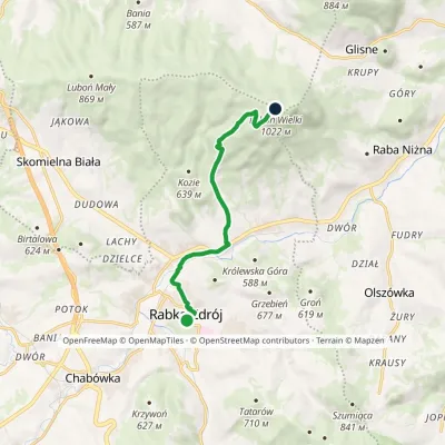 EasyOne-dayMarkedRabka LubońElevation profile462–1 022 m8.2 kmascent 562 m≈ 3 h walkingunder 1 km from Raba River
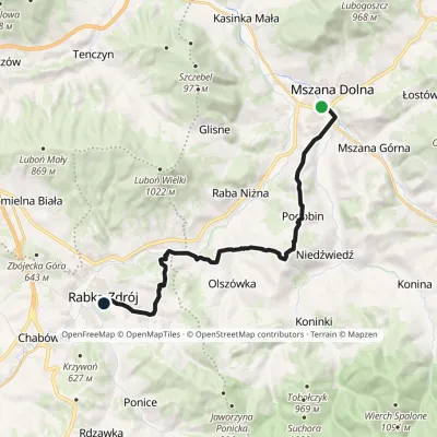 ModerateTwo-dayMarkedMszana Dolna Rabka-ZdrójElevation profile396–746 m17.5 kmascent 685 m≈ 5.5 h walking1.2 km from Raba River
Nearby attractions
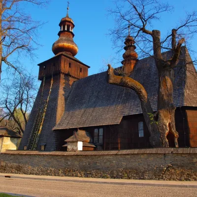 MuseumWładysław Orkan Museum in Rabka-ZdrójRabka-Zdrójunder 1 km from Raba RiverThe Władysław Orkan Museum (Muzeum im. Władysława Orkana) in the spa town of Rabka-Zdrój is one of the oldest regional museums in the Polish Beskids.
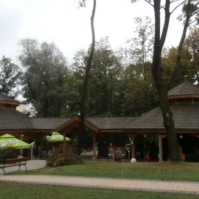 Water parks & thermal poolsRabka-Zdrój spa: brine graduation tower, pump rooms, treatmentsRabka-Zdrójunder 1 km from Raba RiverRabka-Zdrój is a spa in the Raba valley between the Gorce, the Beskid Wyspowy and the Beskid Makowski, halfway from Kraków to Zakopane.
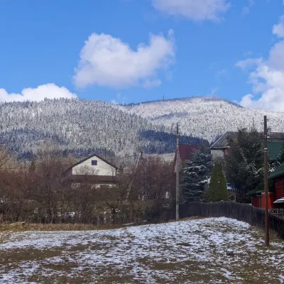 PeakLuboń WielkiGlisnealtitude 1 022 m5.6 km from Raba RiverLuboń Wielki is a 1,022 m summit and the most prominent mountain of the Island Beskids, rising about 512 m above its key col.
Craft nearby
All craft places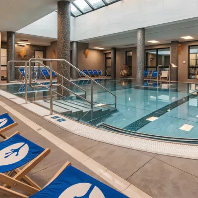 Water parks & thermal poolsTermy Gorce thermal bathsNiedźwiedź9 km from Raba RiverTermy Gorce is a small, cosy thermal complex in the village of Poręba Wielka, in the municipality of Niedźwiedź, at the foot of the Gorce Mountains.
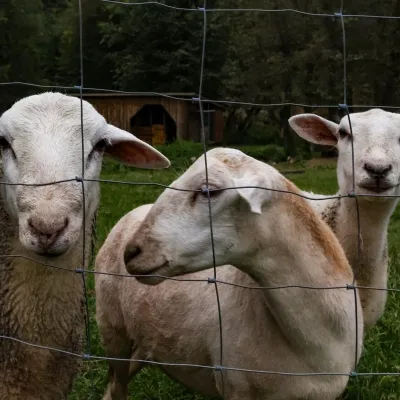 Eco farmsOrawskie Ranczo Educational Farm, Harkabuz: animals and craft workshopsHarkabuz12 km from Raba RiverOrawskie Ranczo is a small family educational farm (zagroda edukacyjna) in the village of Harkabuz near Raba Wyżna, where Orawa meets Podhale.
 Markets & fairsNowy Targ Fair (Nowa Targowica)Nowy Targ16 km from Raba RiverThe fair in Nowy Targ is the largest and oldest market in Podhale. On Thursdays and Saturdays highlanders from the surrounding villages, Slovaks from across the border...
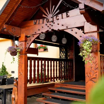 Koliby & Hutsul cuisineKarcma u Borzanka, Nowy Targ: highland food in an 18th-century innNowy Targ16 km from Raba RiverKarcma u Borzanka is a highland tavern in the oldest coaching inn of Nowy Targ, the capital of Podhale.
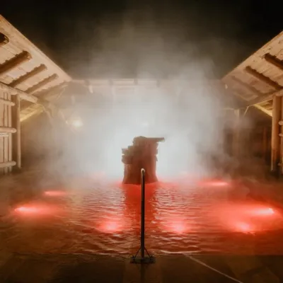 Water parks & thermal poolsTermy Gorący Potok (Szaflary)Bańska Niżna24 km from Raba RiverTermy Gorący Potok is a complex of outdoor thermal pools in Szaflary, between Nowy Targ and Zakopane, about 15 km from Zakopane.
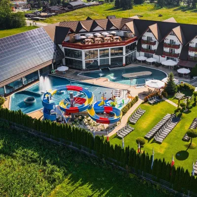 Water parks & thermal poolsTermy Szaflary (Termy Podhalańskie)Bańska Niżna24 km from Raba RiverTermy Szaflary is a thermal complex in the village of Szaflary, between Nowy Targ and Zakopane. It used to be known as Termy Podhalańskie, a name still found in older...
