Mszana Dolna – Rabka-Zdrój
Trail map
Route, springs and shelters: © OpenStreetMap contributors (ODbL) · elevation: Copernicus DEM © DLR e.V., © Airbus DS · Data & licences
About the trail
Route Mszana Dolna – Rabka-Zdrój. Has black marking (regional route). Waymarking data: OpenStreetMap (© OpenStreetMap contributors, ODbL).
Officially marked regional tourist route. The marking is black, the sign is a horizontal stripe on a white background. Length of the route is 17.5 km. Location: mountain range – Gorce, Poland.
At a glance
A one-day route of 17.5 km with 685 m of ascent from Mszana Dolna to Rabka-Zdrój. Estimated walking time: about 5.5 h, not counting stops. Difficulty: moderate. Waymarking: black.
Route stages
- 0–6 kmGentle ups and downs at 390–590 m
- 6–7 kmClimb of 150 m to Potaczkowa (746 m)
- 7–9 kmDescent of 270 m (down to 463 m)
- 9–12 kmGentle ups and downs at 440–540 m
- 12–14 kmClimb of 200 m (up to 648 m)
- 14–18 kmDescent of 140 m to Rabka-Zdrój
Steepest kilometre: km 6–7, a climb of 160 m (≈16%), near Potaczkowa.
Water and overnight stays
A spring near the trail: at km 17. There are no springs between km 0 and 17 — carry at least 3 l of water. Some springs run low or dry up in late summer.
When to go
The route can be walked most of the year; it is most comfortable from April to October.
Getting there
Start: Mszana Dolna. This is a one-way route: the finish is 11 km from the start in a straight line, so plan your way back in advance.
FAQ
- How long does the route take?
- Estimated walking time: about 5.5 h, not counting stops.
- Is there water on the route?
- A spring near the trail: at km 17. There are no springs between km 0 and 17 — carry at least 3 l of water. Some springs run low or dry up in late summer.
Water and shelter on the route
- Spring below Bania (south slope), 520 mkm 16.6 from the start · 200 m off the path · Not verified · 520 m
- Rafaela Wellkm 17.1 from the start · Not verified · 495 m
Comments
Trails nearby
All trails
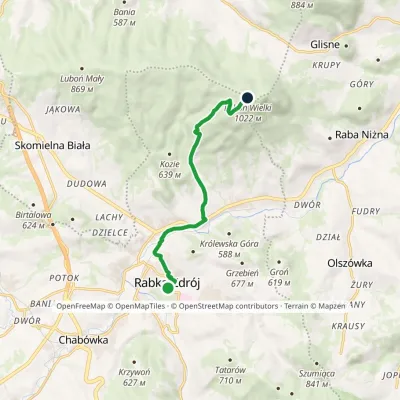
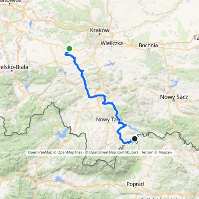
Craft nearby
All craft places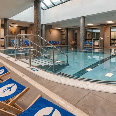 Water parks & thermal poolsTermy Gorce thermal bathsNiedźwiedź6.3 km from the trailTermy Gorce is a small, cosy thermal complex in the village of Poręba Wielka, in the municipality of Niedźwiedź, at the foot of the Gorce Mountains.
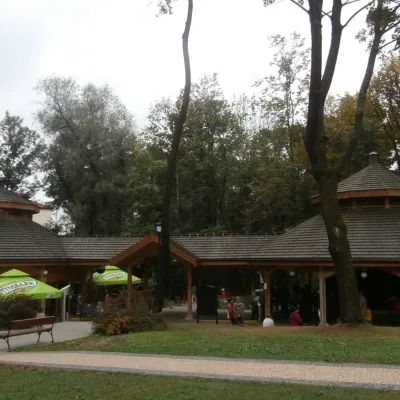 Water parks & thermal poolsRabka-Zdrój spa: brine graduation tower, pump rooms, treatmentsRabka-Zdrój11 km from the trailRabka-Zdrój is a spa in the Raba valley between the Gorce, the Beskid Wyspowy and the Beskid Makowski, halfway from Kraków to Zakopane.
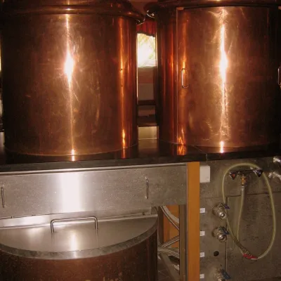 Craft shopsCistercian monastery shop, Szczyrzyc: abbey cheese, milk and Gryf beerSzczyrzyc15 km from the trailIts heart is the Cistercian abbey: the monks arrived in the first half of the 13th century and, according to the monastery itself, have lived here without interruption...
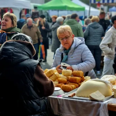 Markets & fairsNowy Targ Fair (Nowa Targowica)Nowy Targ21 km from the trailThe fair in Nowy Targ is the largest and oldest market in Podhale. On Thursdays and Saturdays highlanders from the surrounding villages, Slovaks from across the border...
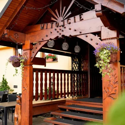 Koliby & Hutsul cuisineKarcma u Borzanka, Nowy Targ: highland food in an 18th-century innNowy Targ22 km from the trailKarcma u Borzanka is a highland tavern in the oldest coaching inn of Nowy Targ, the capital of Podhale.
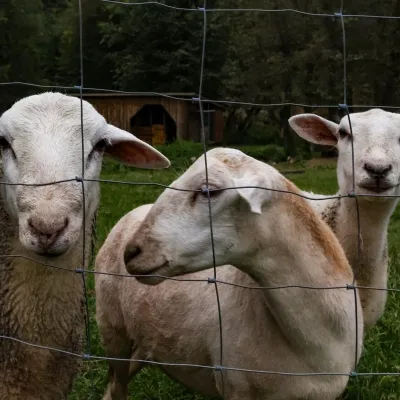 Eco farmsOrawskie Ranczo Educational Farm, Harkabuz: animals and craft workshopsHarkabuz23 km from the trailOrawskie Ranczo is a small family educational farm (zagroda edukacyjna) in the village of Harkabuz near Raba Wyżna, where Orawa meets Podhale.
