Panorama Mahura


What to see nearby
The best within 10 km, as the crow flies
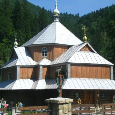 Church of St. Demetrius of ThessalonikiChurch · 1.4 km
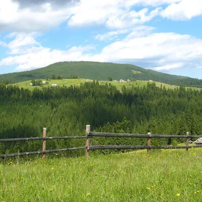 Mount MaguraPeak · 2.3 km
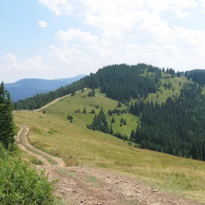 Mount LisnivPeak · 3.5 km
 Museum of History and Local LoreMuseum · 4.8 km
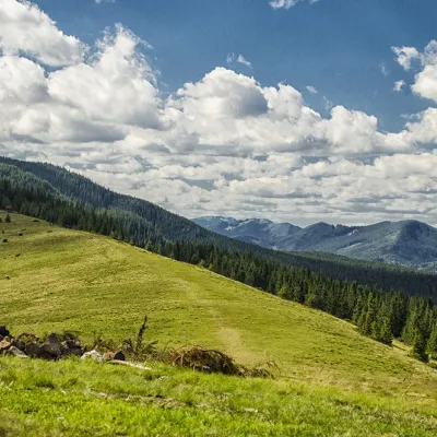 Polonyna KhomyakovMountain meadow · 7.4 km
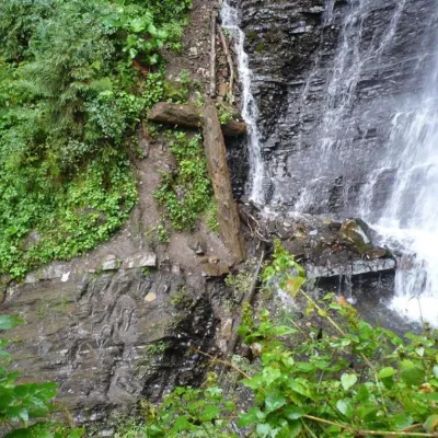 Zhenetsky Hook waterfallWaterfall · 8.3 km
Trails starting within 5 km: 35
The private homestead "Panorama Mahura" is located on a mountain in Tatariv, Ivano-Frankivsk region, 14 km from Bukovel, on the edge of the Carpathian National Park. Guests are offered two cottages for 6 and 7 persons.
The 6-person cottage has two rooms. The rooms are located on the 2nd floor. The cottage is equipped with air conditioners on the first and second floors. There is underfloor heating on the first floor. A kitchen for self-catering with necessary appliances is available. The cottage has a sauna (additional payment required), a large shower with a bucket-waterfall, and a hairdryer. There is also a small terrace at the entrance.
The 7-person cottage has three rooms. The cottage has 5 single beds and one double bed, two bathrooms in the corridor. There is a kitchen with necessary appliances for self-catering, a spacious living room, and a terrace.
The cottages have orthopedic mattresses and quality cotton bedding. A washing machine is provided (in a separate room).
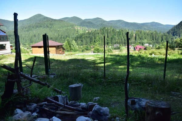
On the territory, guests have access to a barbecue and a wonderful view.
The homestead "Panorama Mahura" is located 900 m from the bus station in Tatariv and 6.8 km from the railway station "Tatariv-Bukovel".
For additional places, please clarify when booking.
By train to the station Tatariv-Bukovel.
By bus in the directions of Polyanytsia (Bukovel), Yaremche, Vorokhta, Verkhovyna.
Railway station and stops - GPS coordinates:
Railway station N 48.345386 E 24.577145
Bus stop (village center, railway station) N 48.34636 E 24.579349
Bus stop (intersection of routes N-09 and R-24) N 48.341307 E 24.573046
There is an option to order meals.
Location on the map
Reviews
Nearby attractions
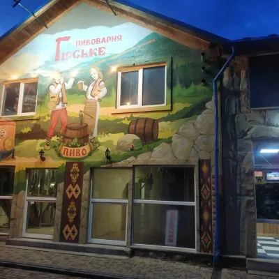 Craft beer & breweriesHirske Brewery, MykulychynMykulychyn5.4 km from Panorama MahuraThe Hirske brewery is a small artisan brewery in Mykulychyn, on the edge of the village towards Tatariv.
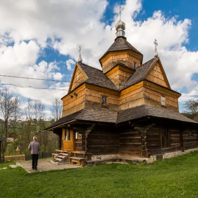 ChurchChurch of the Nativity of the Virgin Mary XVII-XVIII, VorokhtaVorokhta5.5 km from Panorama MahuraThe Church of the Nativity of the Virgin Mary in Vorokhta of the seventeenth and eighteenth centuries is a traditional Hutsul church built without a single nail.
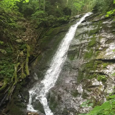 WaterfallNarinetskyi waterfall, MykulychynMykulychyn6.8 km from Panorama MahuraNarinetskyi Waterfall is a waterfall in the Ukrainian Carpathians, on the Noretskyi Stream (a left tributary of the Zhenets River).
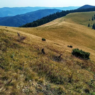 Mountain meadowPolonyna Yavirnyk (Yaremche)Yaremchealtitude 1 200 m · Gorgany range8.4 km from Panorama MahuraPolonyna Yavirnyk is a large pasture on the south-eastern slopes of the Yavirnyk ridge in the Gorgany, right above Yaremche.
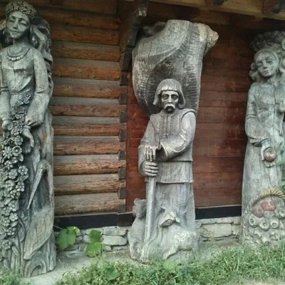 MuseumMuseum of customary symbols of the Hutsul region (Mykulychyn)Mykulychyn8.6 km from Panorama MahuraDid you know that the Museum of Customary Symbols of the Hutsul Region (Mykulychyn) and its exhibition are housed in three rooms of an old hut?
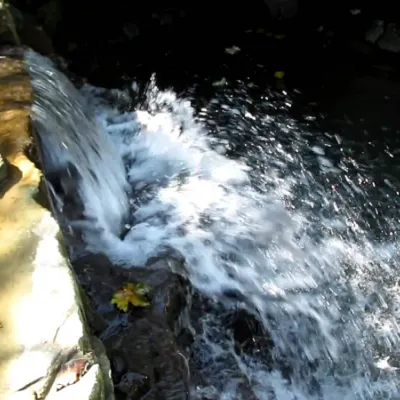 WaterfallBagrovetsky waterfallYaremche10 km from Panorama MahuraBagrovetsky Waterfall is one of the most famous waterfalls in the Yaremche region, located in the city of Yaremche.
Craft nearby
All craft places Markets & fairsSouvenir Bazaar by the Ski Jumps, VorokhtaVorokhta3.8 km from Panorama MahuraThe souvenir bazaar in Vorokhta is one of the busiest little trading spots in the mountain Hutsul region.
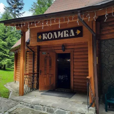 Koliby & Hutsul cuisineKoliba “Dykyi Med”, TatarivTatariv4.8 km from Panorama MahuraThe Dykyi Med (“Wild Honey”) kolyba is the heart of a private estate of the same name in the Zhenets area of Tatariv, in a valley the locals call the Honey Valley.
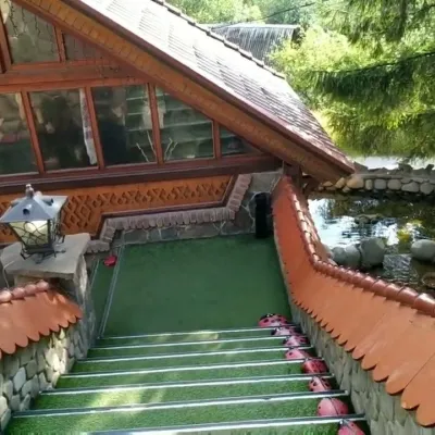 Koliby & Hutsul cuisineStara Vorokhta Restaurant, VorokhtaVorokhta5 km from Panorama MahuraStara Vorokhta restaurant ("Old Vorokhta") is one of the best-known places for Hutsul food in Vorokhta: on Google Maps it is rated 4.6 from more than 6,300 reviews, a...
 Theme parksDinoPark, Polianytsia (Bukovel)Yablunytsia6.9 km from Panorama MahuraDinoPark in Polianytsia is an open-air dinosaur theme park at the entrance to Bukovel resort. It is easy to spot from the road: a huge dinosaur figure stands right by...
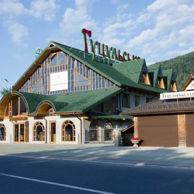 Craft beer & breweriesHutsulske Brewery, MykulychynMykulychyn7.6 km from Panorama MahuraThe Hutsulske brewery in Mykulychyn is one of the oldest private breweries in the Carpathians, brewing beer for more than twenty years right on the road between...
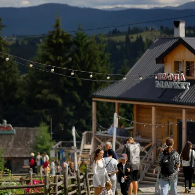 Mountain meadowPolonyna Pertsi Ethno Park, YablunytsiaYablunytsiaaltitude 940 m · Kukul range8.7 km from Panorama MahuraPolonyna Pertsi (“Pepper Meadow”) is an ethno park of Hutsul traditions in Yablunytsia, close to the Yablunytsia Pass.
Peaks nearby
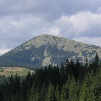 PeakMount KhomiakTatarivaltitude 1 542 m · Chornohora range6.7 km from Panorama Mahura40 trails to the topKhomiak (1542 m) is a cone-shaped peak of the Gorgany range above Tatariv and Polianytsia; a statue of the Virgin Mary stands on its rocky top.
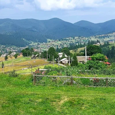 PeakMount OseredokVorokhtaaltitude 915 m · Chornohora range7.1 km from Panorama Mahura1 trail to the topOseredok is a modest 915 m summit right above Vorokhta (about 2 km), north of the Chornohora range, in Ivano-Frankivsk Oblast.
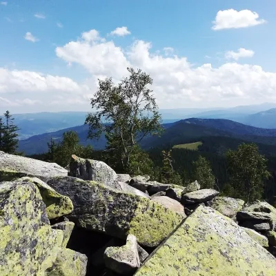 PeakMount Yavirnyk-GorganYaremchealtitude 1 467 m · Gorgany range9.8 km from Panorama MahuraYavirnyk-Gorgan is the highest summit of the Yavirnyk ridge in the south-eastern Gorgany, 1,467 m high.
Trails nearby
All trails HardMulti-dayVerkhovyna to Tatariv villagevia Mount Bila Kobyla, Mount KhordeElevation profile612–1 475 m38.3 kmascent 1 876 m≈ 13.5 h walkingunder 1 km from Panorama Mahura
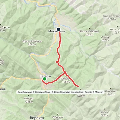 ModerateTwo-dayTatariv village to Mykulychyn villagevia Mount Lisniv, Mount YahidnaElevation profile590–1 252 m17 kmascent 721 m≈ 5.5 h walkingunder 1 km from Panorama Mahura
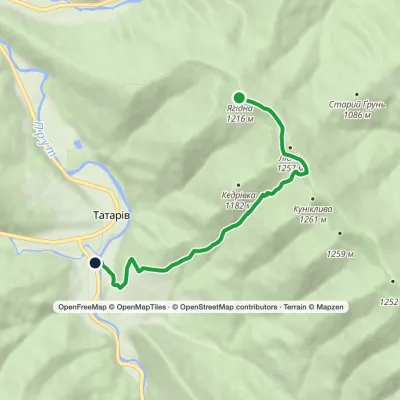 EasyOne-dayMarkedTatariv Mount YahidnaElevation profile679–1 232 m5.9 kmascent 47 m≈ 1.5 h walkingunder 1 km from Panorama Mahura
