Okrąglik
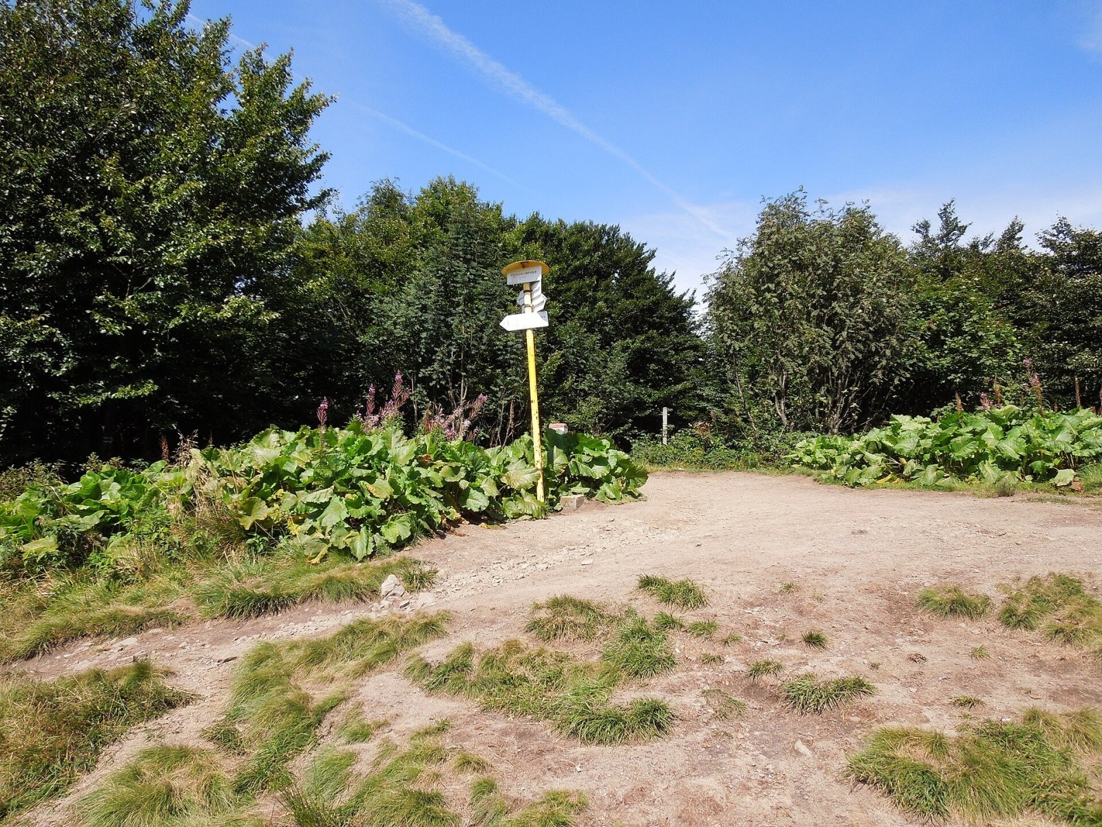
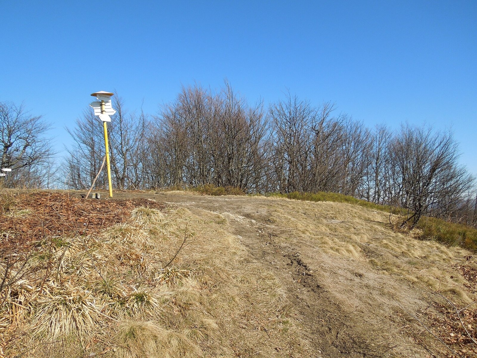
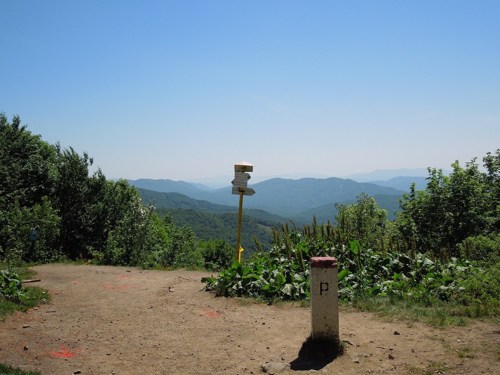
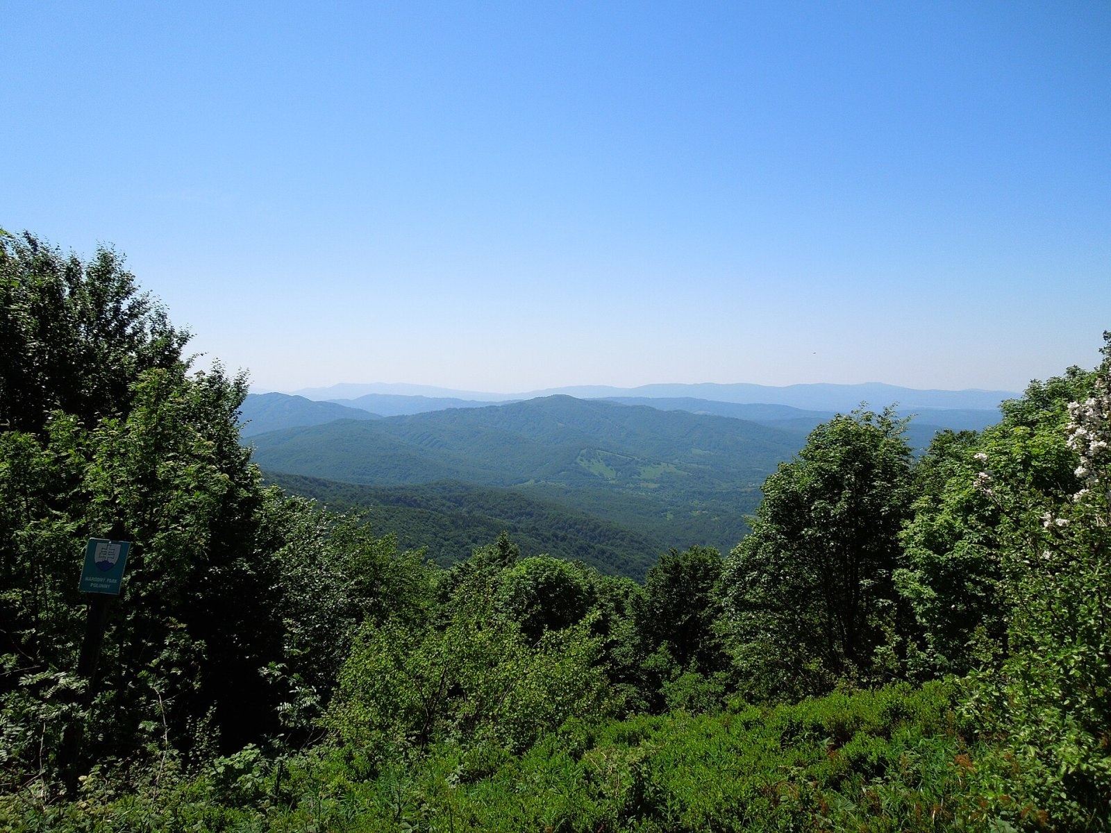
Okrąglik (Slovak Kruhliak) is a summit about 1,101 m high in the border range of the Western Bieszczady, on the frontier between Poland and Slovakia (the Slovak part of the mountains is called the Bukovské vrchy). It stands on the main Carpathian ridge between Rypy to the west and Płasza to the east, east of the Ruské sedlo saddle. Okrąglik is a junction peak: the Jasło ridge branches off north-west towards Cisna, and a few hundred metres to the south-east there is a second junction where the ridge culminating in Fereczata begins.
The Polish part belongs to Cisna commune (Lesko County, Subcarpathian Voivodeship), the Slovak part to the cadastre of Stakčín in Snina District, above the vanished village of Ruské. Water from the southern slopes flows via the Kuzmovský potok to the Cirocha in the Laborec basin, from the eastern slopes via the Bystry stream to the Wetlinka, and from the western slopes via the Roztoczka to the Solinka in the Vistula basin.
How to get there / trails
Several trails meet on Okrąglik. From the Polish side (times from Polish Wikipedia):
- the red Main Beskid Trail — from the village of Smerek via Fereczata 3 h 15 min (2 h 30 min down), from Cisna via Małe Jasło and Jasło 4 h (3 h down), from the top of Jasło only 30 min;
- the blue Biała – Grybów trail — from the pass above Roztoki Górne 1 h 40 min (1 h down), from Riaba Skała along the ridge 3 h 30 min.
On the Slovak side the red East Carpathian Trail crosses the summit. The easiest ascent is from the village of Runina: the blue trail to the saddle below Ďurkovec and then the red one via Pľaša (about 4 h 45 min), or via the abandoned village of Ruské and the Ruské sedlo (about 4 h 50 min).
What you can see from the summit
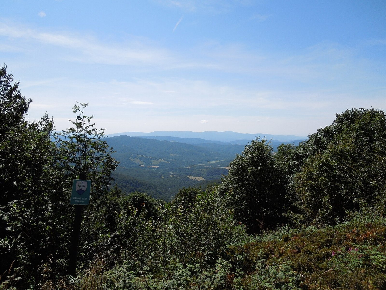
The summit itself is mostly wooded but gives a good view to the Slovak side, into the Ruská kotlina basin. Open spots on the ridge show the Bukovské vrchy peaks, the Slanské and Vihorlat hills, the Polish Bieszczady and the Ukrainian Carpathians. A full all-round panorama is available from neighbouring Jasło, about 25–30 minutes' walk from Okrąglik.
Nature and history
According to Polish Wikipedia, the 1,101 m height given on maps refers to the trail junction on the border below the top; the true summit lies on the Polish side, right next to the border, at about 1,106 m. Among plants rare in Poland, the purple hellebore (Helleborus purpurascens) has been recorded here. The Polish part lies in the Cisna-Wetlina Landscape Park, the Slovak part in Poloniny National Park and the Bukovské vrchy Natura 2000 site. According to Slovak Wikipedia, the area is the darkest in Slovakia in terms of light pollution, and the country's first dark-sky park, Poloniny, was established here.
Okrąglik is sometimes mentioned in connection with a rather mysterious crash of a military aircraft during the Second World War.
Safety, season and rules
The trails have no difficult sections, but they are long walks along a remote wooded ridge far from villages: plan your time and carry enough water. In winter the snow is deep. The border with Slovakia is an internal Schengen border: crossing on marked trails is allowed, but carry an identity document. On the Slovak side (Poloniny National Park) keep to marked trails. On the Polish side help comes from the Bieszczady group of GOPR: 985 or +48 601 100 300; on the Slovak side from HZS: 18 300 (+421 18 300). The general emergency number is 112.
Photos: Milan Bališin, CC BY-SA 4.0; Milan Bališin, CC BY-SA 4.0; Milan Bališin, CC BY-SA 4.0; Milan Bališin, CC BY-SA 4.0; Milan Bališin, CC BY-SA 4.0; Milan Bališin, CC BY-SA 4.0 — Wikimedia Commons.
Getting there from Ukraine
Border crossings
- Krakovets – Korczowa — road, 24/7
- Shehyni – Medyka — road, 24/7 Pedestrian crossing is not confirmed by the Ukrainian border service — check dpsu.gov.ua before the trip.
- Smilnytsia – Krościenko — road, 24/7
- Hrushiv – Budomierz — road, 24/7
- Mostyska – Przemyśl (rail) — rail, 24/7
By car
Lviv – Sanok ≈168 km, ≈3 h 20 min without queues: road to Shehyni → Shehyni – Medyka checkpoint → Przemyśl → DK28 via Bircza to Sanok (≈83 km, ≈1 h 45 min from the border). Alternative via Krakovets – Korczowa: A4 to the Radymno exit, DK77 to Przemyśl and DK28 (≈185 km from Lviv, ≈3 h 25 min). For the Bieszczady proper, Smilnytsia – Krościenko is handier: Lviv – Sambir – Staryi Sambir – border, then DK84 via Ustrzyki Dolne to Sanok (≈203 km, ≈5 h; ≈57 km from the border). From Krościenko to Ustrzyki Górne by DW896 ≈53 km (≈1 h 40 min; ≈200 km and ≈4 h 50 min from Lviv), to Wetlina by DW896 and DW897 ≈69 km (≈216 km and ≈5 h from Lviv). From Sanok: Ustrzyki Górne ≈82 km (DK84 via Lesko, then DW896, ≈1 h 35 min), Wetlina ≈72 km (DK84 to Lesko, DW894 via Baligród and Cisna, DW897, ≈1 h 20 min).
Checked 23.10.2026; border crossing hours and timetables change — check before you travel.
Location on the map
Water and shelter nearby
- Cirochy Spring2.3 km · Not verified · 813 m
- Captured spring below Duży Skaleniec2.4 km · Not verified · 803 m
- Hut in Ruské Sedlo2.4 km · Not verified · 806 m
- Captured spring below Rypi Wierch2.8 km · Not verified · 780 m
Comments
Trails nearby
All trails HardMulti-dayMarkedMain Trail of BeskidyElevation profile309–1 723 m499.9 kmascent 19 519 munder 1 km from Okrąglik
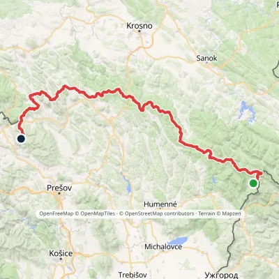 HardMulti-dayMarkedVýchodokarpatská magistrálaElevation profile390–1 209 m213.5 kmascent 7 991 munder 1 km from Okrąglik
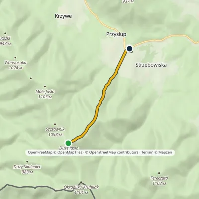 EasyOne-dayMarkedJasło Przysłup Pass (railway station)Elevation profile671–1 153 m3.9 kmascent 5 m≈ 60 min walking1.3 km from Okrąglik
Nearby attractions
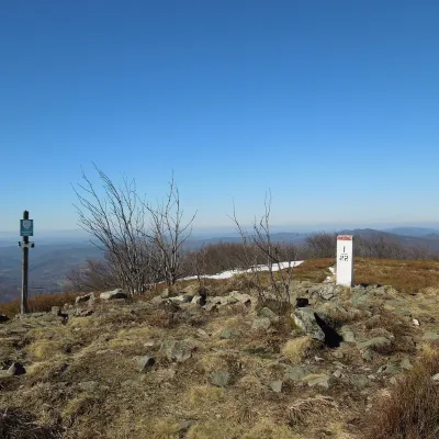 PeakPłaszaWetlinaaltitude 1 163 m4.6 km from OkrąglikPłasza (Slovak Pľaša) is a 1163 m summit in the Western Bieszczady on the Polish–Slovak border; Slovak geographers place it in the Bukovské vrchy.
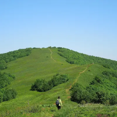 Mountain meadowĎurkovec and Pľaša meadowsRuninaaltitude 1 189 m · Gorgany range6.7 km from OkrąglikThe Ďurkovec meadows are the finest mountain grasslands of the Slovak Poloniny: grassy slopes covering the border ridge of the Bukovské vrchy between Pľaša (1,162.8 m)...
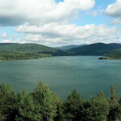 LakeStarina Reservoir in Poloniny National ParkStakčín13 km from OkrąglikStarina is the largest drinking-water reservoir in Slovakia and, according to Slovak sources, the largest source of drinking water in Central Europe.
Craft nearby
All craft places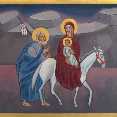 Crafts & workshopsVeraikon Icon Studio, Cisna: Carpathian icons and workshopsCisna7.9 km from OkrąglikThe Veraikon Icon Studio (Pracownia Ikon Veraikon) in Cisna is, in its owners' words, the oldest and largest icon studio in the Bieszczady.
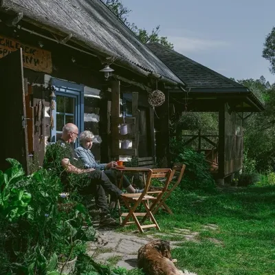 Craft producersBieszczadzkie Smaki, Smolnik: bread, liqueurs, preservesSmolnik22 km from OkrąglikBieszczadzkie Smaki (“Bieszczady Flavours”) is a family producer of natural foods in the village of Smolnik on the Osława river, Komańcza municipality, on the western...
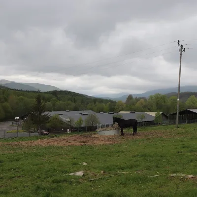 Horse ridingHucul Horse Stud in Wołosate, Bieszczady National ParkWołosate24 km from OkrąglikWołosate is the southernmost inhabited village in Poland, tucked away in the valley of the Wołosatka stream below Tarnica, the highest peak of the Polish Bieszczady.
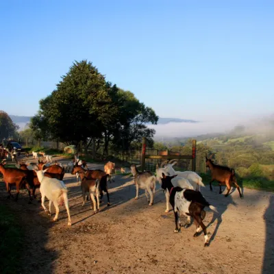 Cheese dairies & pasturesBieszczadzka Koza Goat Cheese Farm, SmolnikSmolnik25 km from OkrąglikBieszczadzka Koza ("the Bieszczady Goat") is a family goat farm and artisan cheese dairy in the village of Smolnik on the San, in the eastern Polish Bieszczady, right...
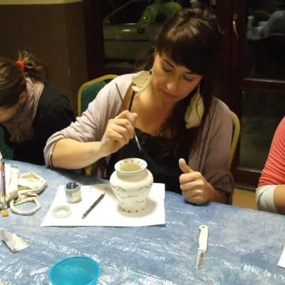 Crafts & workshopsGaleria Barak, Czarna: Bieszczady ceramics and workshopsCzarna Górna29 km from OkrąglikGaleria Barak in the village of Czarna near Ustrzyki Dolne is the first private art gallery in the Bieszczady, and its story deserves telling.
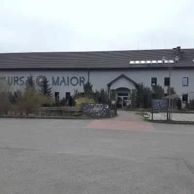 Craft beer & breweriesUrsa Maior Brewery, Uherce MineralneUherce Mineralne36 km from OkrąglikUrsa Maior, or the Bieszczady Brewery (Bieszczadzka Wytwórnia Piwa), is an independent craft microbrewery in the village of Uherce Mineralne, between Lesko and...
