Smrekov
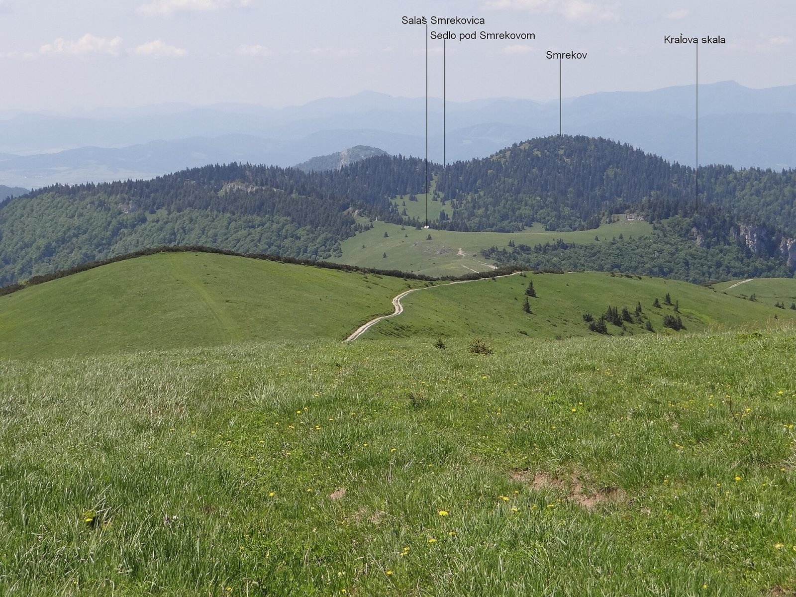
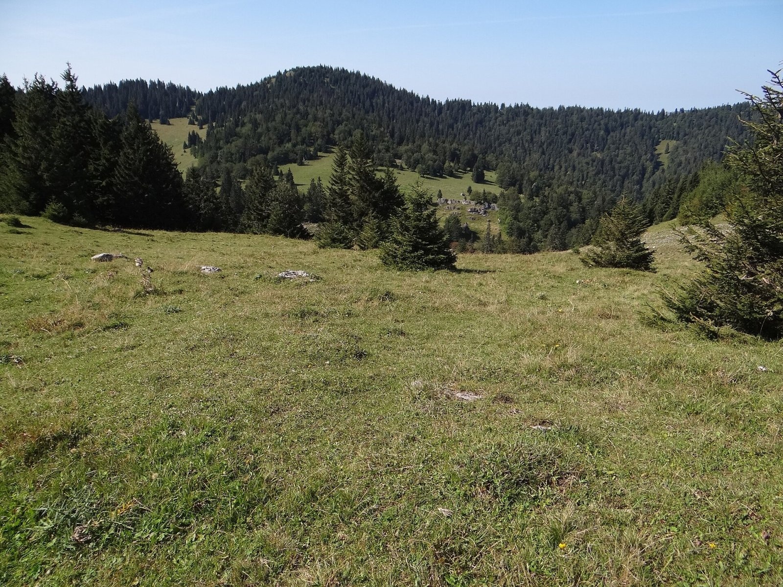
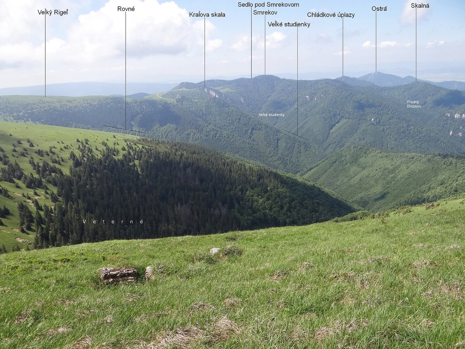
Smrekov is a 1441 m summit in the southern part of the Greater Fatra (Veľká Fatra) in Slovakia. It belongs to the Bralná Fatra, the part of the range where many summits are of similar height, so even a massif this high looks inconspicuous here. Smrekov stands on a mighty spur running from Krížna and lies on the boundary of the cadastres of Blatnica (Martin District) and Mošovce (Turčianske Teplice District) in the Žilina Region. The nearest settlements in a straight line are Turecká (about 6 km), Staré Hory and Dolný Harmanec (8.5 km each).
Its neighbours are Haľamova kopa (1344 m) to the west, Kráľova skala (1377 m) to the east and an unnamed summit (1315 m) to the north. The summit is a junction: a side ridge runs north from it, separating the Gaderská and Dedošová valleys. The north-western slopes fall into the small Padva valley, the eastern ones into the Veľké studienky valley (a branch of Dedošová dolina) and the southern ones into the Žarnovická valley.
How to get there / routes
The summit is reached by a green-marked trail: the main path runs along the southern slope via Sedlo pod Smrekovom, and a short green spur branches off it to the top.
- From Blatnica – through the Blatnická valley, past the mouth of the Juriášova valley and up the Rakytovská valley: 12.1 km, about 985 m of ascent, about 4:10 h up and 3:20 h down.
- From the Kráľova studňa junction (reachable, among others, from Turecká) via Sedlo pod Smrekovom: 2.1 km, about 45 minutes each way.
What you can see from the top
Smrekov is forested; the trees open up only to the east, towards Sedlo pod Smrekovom. The most interesting view is therefore to the east, onto the Krížna massif (1574 m). The south-eastern ridge is grassy and makes a good viewpoint. On it stands the Smrekovica shelter – a converted shepherds' hut adapted for simple overnight stays by hikers who do not need comfort.
Nature and history
The summit lies in the Veľká Fatra National Park, and its north-western foot belongs to the Padva national nature reserve. The name comes from the Slovak word "smrek", spruce. All around run the deep valleys with limestone cliffs typical of the Bralná Fatra, cutting into the forested slopes.
Safety, season and rules
The climb from Blatnica is long: plan a full day and carry water, as there are no services on the summit. The forest on the ridge gives good shelter from the wind, but in winter the paths are snowed in and hard to follow, so snowshoes or skis and navigation are needed. In the national park stay on marked trails. Slovak Mountain Rescue Service (HZS): 18 300 (+421 18 300); general emergency number 112.
Interesting facts
- Smrekov is a junction summit: the ridges between the Gaderská and Dedošová valleys branch off here.
- The short green spur to the summit leaves the trail that skirts its southern slope.
- The Smrekovica shelter on the south-eastern ridge is a former shepherds' hut.
Photos: Jerzy Opioła, CC BY-SA 4.0; Jerzy Opioła, CC BY-SA 4.0; Jerzy Opioła, CC BY-SA 4.0 — Wikimedia Commons.
Getting there from Ukraine
Border crossings
- Uzhhorod – Vyšné Nemecké — road, 24/7
- Malyi Bereznyi – Ubľa — road, 24/7 For cars and buses; pedestrians not confirmed by the Ukrainian border service, lorries up to 3.5 t.
- Mali Selmentsi – Veľké Slemence (pedestrian) — pedestrian, 09:00–21:00 Kyiv time Pedestrians and cyclists only; inconvenient for the Tatras without onward transport.
- Chop – Čierna nad Tisou (rail) — rail, 24/7
By car
From Uzhhorod ≈275 km, ≈3 h 35 min without queues: Uzhhorod – Vyšné Nemecké → I/19 to Košice → D1 motorway via Prešov, Poprad and Liptovský Mikuláš to Ružomberok (≈270 km, ≈3 h 25 min from the border). From Lviv it is faster through Poland: M-10 → Krakovets – Korczowa → A4 to Kraków → S7/DK7 to the Chyżne – Trstená border → R3 and I/59 via Dolný Kubín to Ružomberok: ≈482 km, ≈6 h 15 min (via Uzhok and Ubľa ≈500 km, ≈7 h 30 min). The D1 requires an e-vignette (eznamka.sk).
Checked 23.10.2026; border crossing hours and timetables change — check before you travel.
Location on the map
Water and shelter nearby
- Smrekovica810 m · Not verified · 1 322 m
- Hut above Kráľová studňa1 km · Not verified · 1 368 m
- Spring below Smrekov1.2 km · Has water · 1 257 m
- Kráľová studňa Spring1.7 km · Not verified · 1 338 m
- Bystrice Spring1.8 km · Not verified · 1 344 m
- Spring below Kráľova skala (north slope)2.3 km · Not verified · 927 m
- Spring below Kráľova skala (east slope)2.3 km · Not verified · 1 171 m
- Spring in Kostolec2.4 km · Not verified · 911 m
Comments
Trails nearby
All trails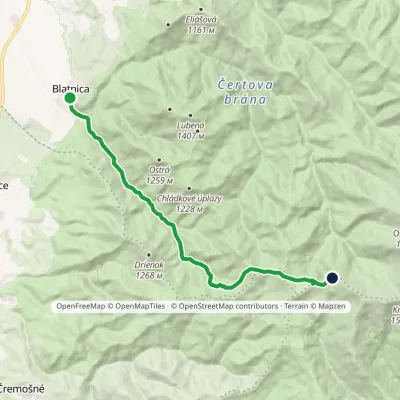 ModerateOne-dayMarkedBlatnica Kráľova studňa, spring (green trail)Elevation profile496–1 394 m13.6 kmascent 939 m≈ 5.5 h walkingunder 1 km from Smrekov
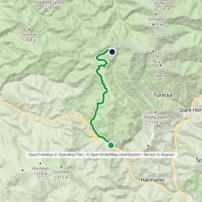 ModerateOne-dayMarkedHarmanec Kráľova studňa, hotelvia cave, stationElevation profile580–1 269 m10.8 kmascent 719 m≈ 4 h walking1.2 km from Smrekov
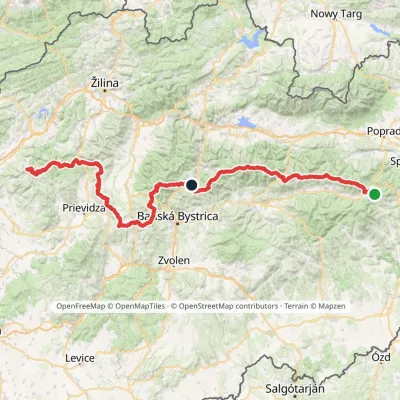 HardMulti-dayMarkedHorná Poruba, U Brdárov Pred ČuntavouElevation profile309–2 004 m241.6 kmascent 15 694 m1.2 km from Smrekov
Nearby attractions
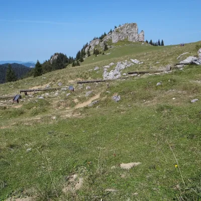 Mountain meadowKráľova studňa: meadow plateau and springs in Veľká FatraDolný Harmanecaltitude 1 365 m1.7 km from SmrekovKráľova studňa (literally the «King's Well») is a broad grassy plateau on the main ridge of Veľká Fatra, at the western edge of the Krížna massif.
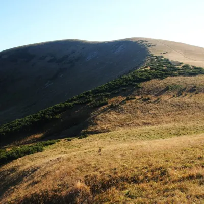 PeakFrčkovTureckáaltitude 1 585 m4.1 km from Smrekov1 trail to the topFrčkov is a 1585 m summit in the central part of the Greater Fatra (Veľká Fatra) in Slovakia, the second highest in the range after Ostredok.
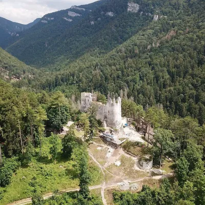 CastleBlatnica Castle and the Gader ValleyBlatnica8.9 km from SmrekovBlatnica Castle (Blatnický hrad) is a medieval ruin on the low but sharp limestone ridge of Plešovica (658 m), which separates the Gader valley (Gaderská dolina) from...
Craft nearby
All craft places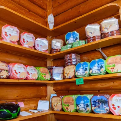 Cheese dairies & pasturesTuriec bryndza dairy, Turčianske Teplice: bryndza since 1917Turčianske Teplice12 km from SmrekovMore than a hundred years of Turiec bryndza Turiec is a wide basin between the ridges of the Veľká and Malá Fatra, a land of pastures and old sheep farming.
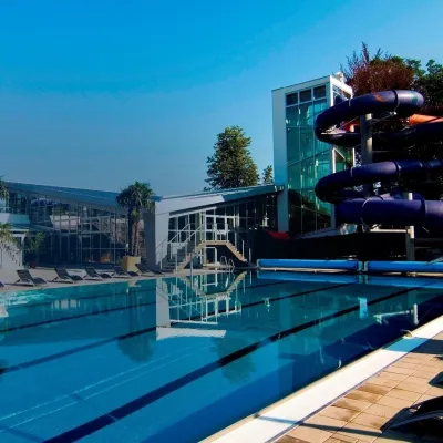 Water parks & thermal poolsSpa & Aquapark Turčianske TepliceTurčianske Teplice12 km from SmrekovTurčianske Teplice is one of Slovakia’s oldest spa towns. Its warm springs were first mentioned in 1281 in a deed of gift by King Ladislaus IV, and from 1533 they...
 Craft shopsÚĽUV Banská Bystrica: folk-craft shop and craft schoolBanská Bystrica19 km from SmrekovÚĽUV (Ústredie ľudovej umeleckej výroby, the Centre for Folk Art Production) is a state institution that has looked after Slovak folk crafts since 1945: it keeps a...
 Craft beer & breweriesUrpiner brewery in Banská Bystrica: tour and beer from the tankBanská Bystrica22 km from SmrekovBanská Bystrica is the centre of Central Slovakia and grew rich on copper mining in the 14th–16th centuries.
 Craft producersKremnica gingerbread: the Haurík family bakery since 1922Kremnica22 km from SmrekovKremnica is an old mining town in the Kremnica Mountains where coins have been struck for more than six centuries.
 Craft beer & breweriesURSUS craft brewery, Čutkovská valleyRužomberok28 km from SmrekovURSUS craft brewery (Remeselný pivovar URSUS) is the first brewery of the town of Ružomberok, tucked away in the picturesque Čutkovská valley in lower Liptov.
