The meadows of Veľká Javorina, the highest peak of the White Carpathians
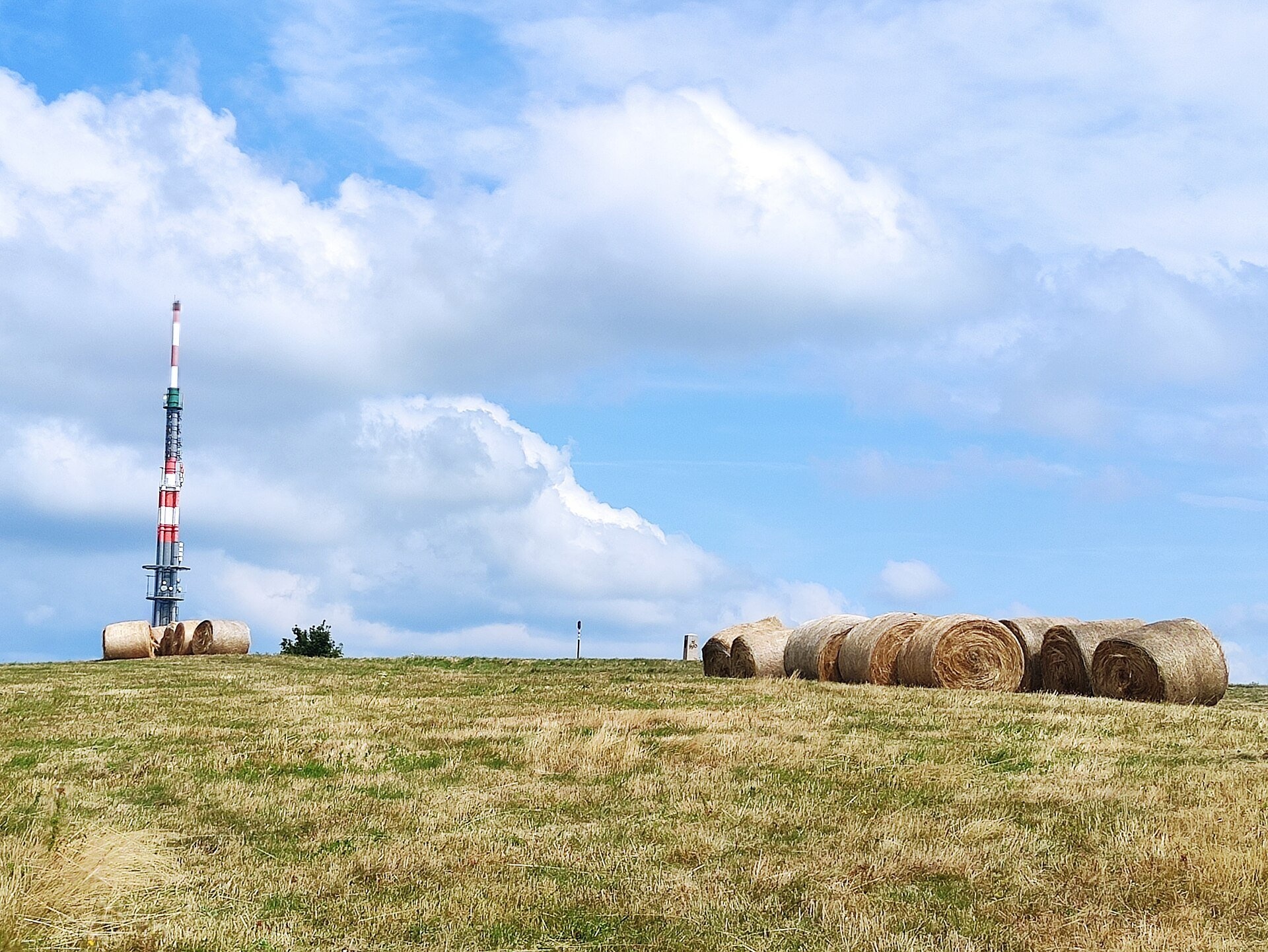
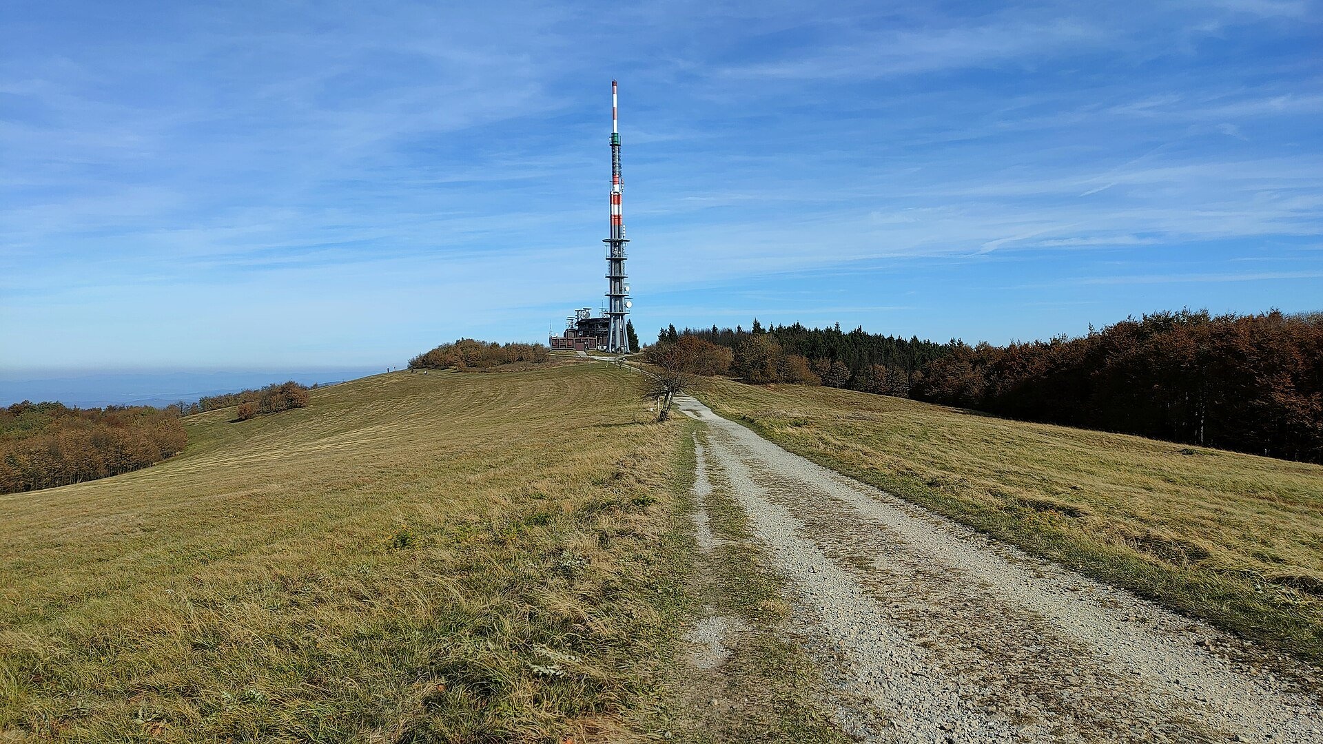
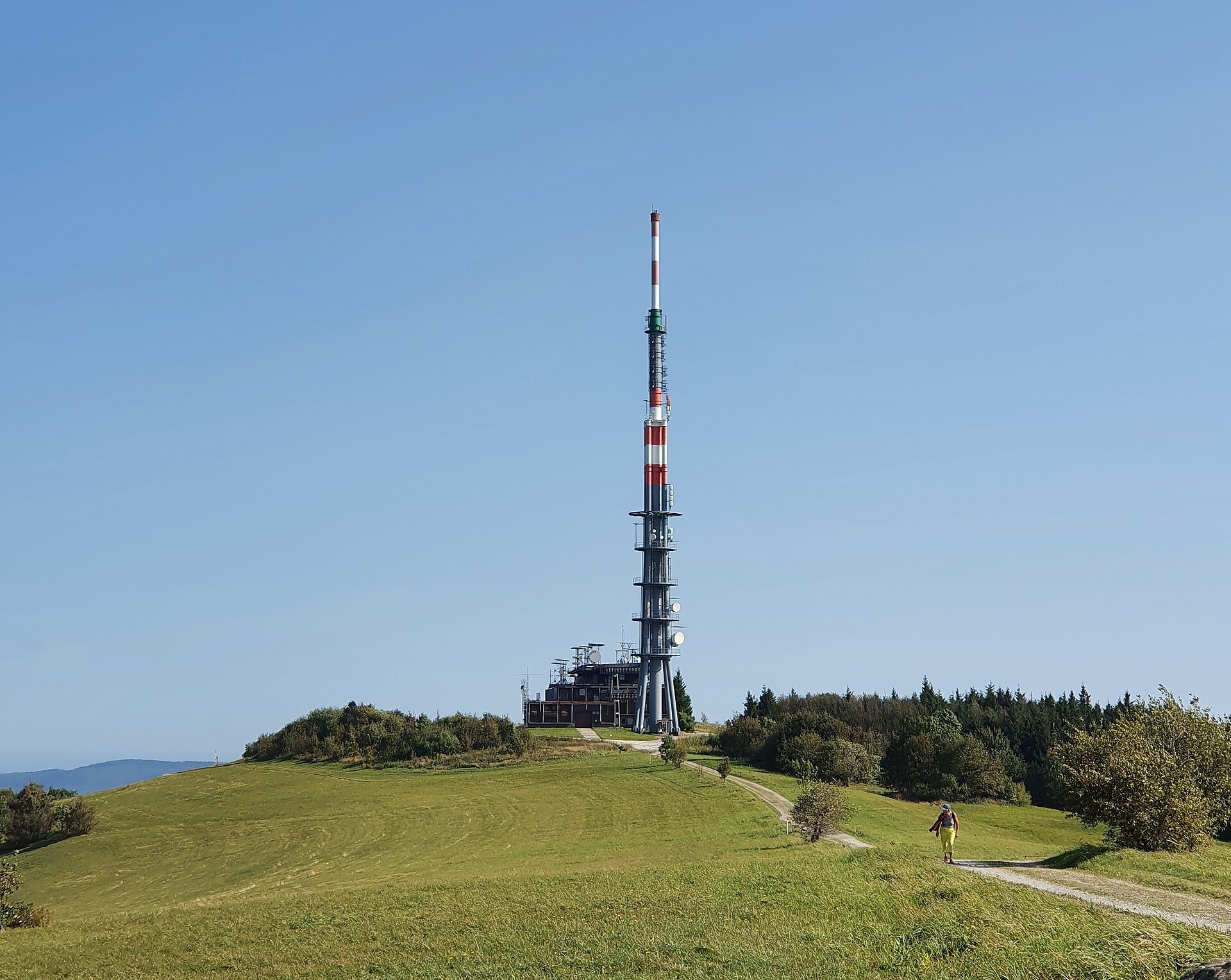
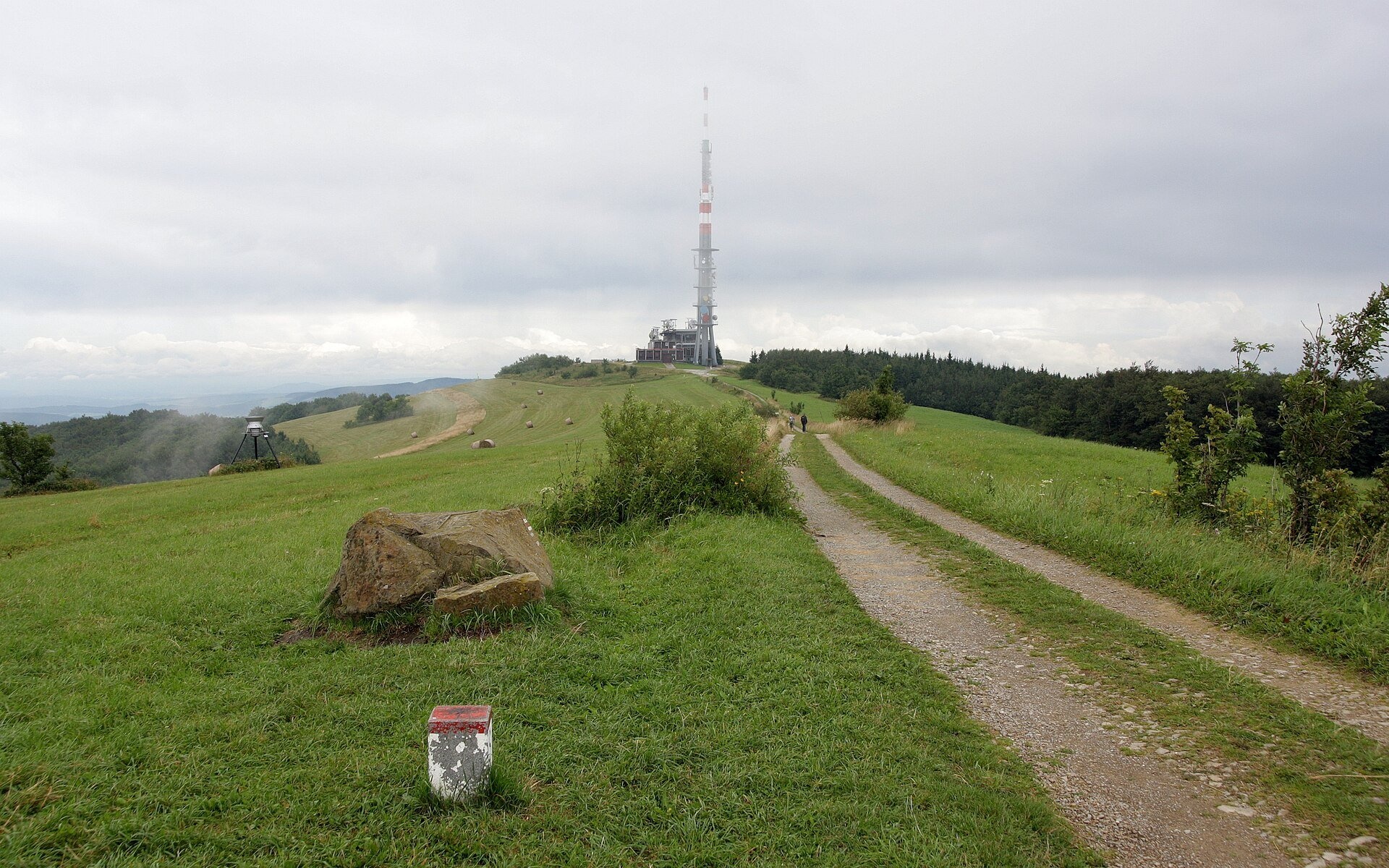
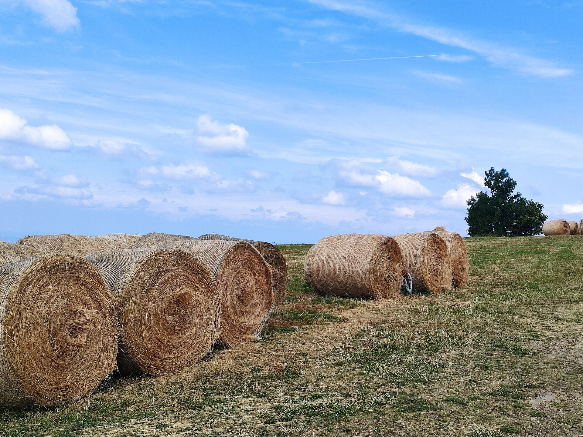
Veľká Javorina (Czech Velká Javořina, 969.8 m) is the highest mountain of the White Carpathians (Biele Karpaty) on the Slovak–Czech border, about 8 km north of the town of Stará Turá. Its summit is a broad, flat ridge, treeless and covered by an extensive meadow; across the border, on the Czech side, meadows also run down the northern slope. Here you see what the westernmost "polonyny" of the Carpathians can look like: not high hole above the tree line but mountain hay meadows among beech old-growth forest, where in summer rolled hay bales lie on the grass. The Slovak side of the massif belongs to the White Carpathians Protected Landscape Area (since 1979) and to the village of Lubina.
The mountain is built of Palaeogene flysch – sandstones alternating with thinner layers of clay shale. The White Carpathian meadows are one of the richest botanical treasure houses of Slovakia: about 1,200 species of higher plants have been recorded in the protected area. This richness was created by people: for centuries the meadows were mown once a year and then grazed, and they stay full of flowers only as long as they are mown regularly and not fertilised. Thanks to this kind of farming orchids flourished here – orchises, marsh orchids, the lady's-slipper and Holuby's bee orchid, named after the local pastor and botanist. These meadows are also one of the largest European sites of several rare butterfly species. The slopes below the summit are covered by well-preserved beech and sycamore-beech forest: on the Slovak side this is the Veľká Javorina Nature Reserve (83 ha, 1988), on the Czech side the strict Javořina National Nature Reserve with its old-growth forest. The alpine blue sow-thistle grows in the reserve forest – the only site of this high-mountain species in the White Carpathians.
What to see and do
- The ridge meadows. From the hut the path climbs onto the open grassy ridge with its summit stone; it is best here in May–June, when the meadows flower, and after haymaking, when bales stand on the grass.
- Panorama. The treeless ridge looks out over Považský Inovec, the Strážov Mountains with Strážov, Vtáčnik, Veľká Fatra with Rakytov and Ploská, the western Low Tatras and Malá Fatra from Kľak to Veľký Rozsutec, and to the north the Moravian-Silesian Beskids with Lysá hora. In exceptionally clear weather you can see the Western Tatras, Hrubý Jeseník 140 km away and even the Alps 180 km away.
- A mountain of friendship. On the summit lies a stone inscribed "Tu bratia vždy sa stretať budú" ("Here brothers will always meet"): the Štúr generation of the 19th century met here with Moravian and Czech scholars, and since 1990 the Festival of Brotherhood of Czechs and Slovaks has been held here every summer.
- Holubyho chata (920 m) is a year-round mountain hut 250 m from the border. It was built in 1923–1924 and named after the botanist and ethnographer Jozef Ľudovít Holuby; it burned down in 1926 and reopened in 1930 – together with 16 ha of meadow on which ski races were held as early as 1931.
How to get there
This is an easy mountain: an asphalt road leads from Lubina to the car park below the summit (about 890 m), and from the Czech side from the hamlet of Vápenky; from the car park it is 5 minutes to the hut and another 15 minutes to the ridge. On foot, by KST waymarks: the yellow trail Stará Turá – Veľká Javorina, Holuby Hut from Stará Turá railway station via the Miškech salaš and Kachľové Grúne – 10.8 km and 3 h 05 min; the blue trail Trail of Captain Miloš Uhra from Lubina via the SNP memorial at Roh – 12.1 km and 3 h 35 min. The red Cesta hrdinov SNP main trail (Hrad Devín, parking – Horná Poruba, U Brdárov) also runs along the ridge – from Myjava via Čupec or from the north via Kamenná bouda. From the car park the summit meadows are fine with children; only the gravel road along the ridge is suitable for prams.
Season and safety
The meadows are at their best from May to September; in autumn and winter the ridge is often in fog and hoarfrost; in a good snow year people cross-country ski here, and three ski tows run next to the hut. In the protected landscape area (2nd degree of protection) it is forbidden to drive or park a car off roads and car parks, or to ride a bicycle off roads and marked cycle routes; do not pick orchids and do not walk through unmown meadows. On the Czech side the forest is a strict reserve with very limited access, so keep to the marked trails. Emergency number – 112. Information as of October 2026.
Nearby
The nearest mountain trails follow the border north to Veľký Lopeník. Lower down, in the Váh valley below Beckov Castle, is Salaš Beckov: 100% sheep’s cheese and bryndza dumplings.
Official website: sopsr.sk
Photos: Palickap, CC BY-SA 4.0, Wikimedia Commons; LiMr, CC0, Wikimedia Commons; Akul59, CC BY-SA 4.0, Wikimedia Commons; RomanM82, CC BY-SA 3.0, Wikimedia Commons.
Getting there from Ukraine
Border crossings
- Uzhhorod – Vyšné Nemecké — road, 24/7
- Malyi Bereznyi – Ubľa — road, 24/7 For cars and buses; pedestrians not confirmed by the Ukrainian border service, lorries up to 3.5 t.
- Mali Selmentsi – Veľké Slemence (pedestrian) — pedestrian, 09:00–21:00 Kyiv time Pedestrians and cyclists only; inconvenient for the Tatras without onward transport.
- Chop – Čierna nad Tisou (rail) — rail, 24/7
By car
From Uzhhorod to Žilina ≈330 km, ≈4 h 20 min without queues: Uzhhorod – Vyšné Nemecké → I/19 to Košice → D1 via Prešov, Poprad, Liptovský Mikuláš and Ružomberok (≈17 km on I/18 between D1 sections) → Žilina. To Terchová ≈314 km, ≈4 h 15 min: from the D1 onto I/70 and II/583. From Lviv through Poland: M-10 → Krakovets – Korczowa → A4 to Kraków → S7/DK7 to Chyżne – Trstená → R3, I/59 to Dolný Kubín → II/583 via Terchová to Žilina: to Terchová ≈493 km (≈6 h 30 min), to Žilina ≈518 km (≈7 h). Via the tolled A4 Kraków – Katowice, S1 and D3: ≈533 km, ≈6 h 35 min. The D1 requires an e-vignette (eznamka.sk).
Checked 23.10.2026; border crossing hours and timetables change — check before you travel.
Location on the map
Water and shelter nearby
- Holubyho Hut460 m · Standing · 905 m
- Studánka Spring, 814 m2.3 km · Not verified · 814 m
Comments
Trails nearby
All trails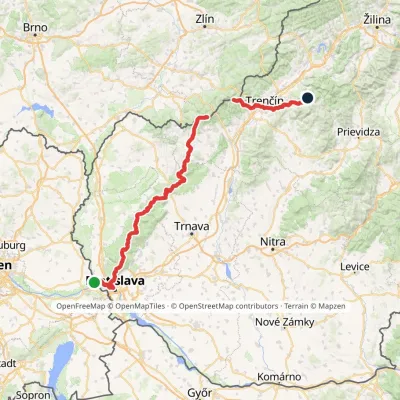 HardMulti-dayMarkedHrad Devín, parking Horná Poruba, U BrdárovElevation profile146–965 m190.1 kmascent 7 200 munder 1 km from The meadows of Veľká Javorina, the highest peak of the White Carpathians
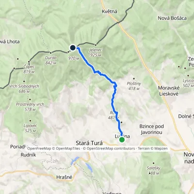 ModerateOne-dayMarkedTrail of Captain Miloš UhraElevation profile269–961 m11.9 kmascent 845 m≈ 4.5 h walkingunder 1 km from The meadows of Veľká Javorina, the highest peak of the White Carpathians
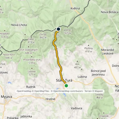 ModerateOne-dayMarkedStará Turá Veľká Javorina, Holuby HutElevation profile279–907 m10.7 kmascent 647 m≈ 4 h walkingunder 1 km from The meadows of Veľká Javorina, the highest peak of the White Carpathians
Nearby attractions
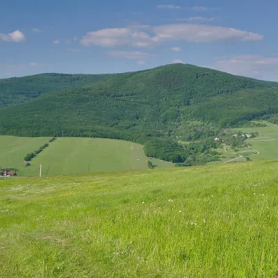 PeakVeľký LopeníkNová Bošácaaltitude 911 m10 km from The meadows of Veľká Javorina, the highest peak of the White CarpathiansVeľký Lopeník (Czech Velký Lopeník) is a distinctive 911 m summit of the White Carpathians (911.3 m according to Slovak data) on the border between Slovakia and Czechia.
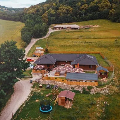 Cheese dairies & pasturesSalaš Beckov: 100% sheep’s cheese and bryndza dumplingsBeckov19 km from The meadows of Veľká Javorina, the highest peak of the White CarpathiansA sheep salaš beside one of the Váh valley’s finest castles Beckov is a village in the Váh valley between Nové Mesto nad Váhom and Trenčín, overlooked by the ruins of...
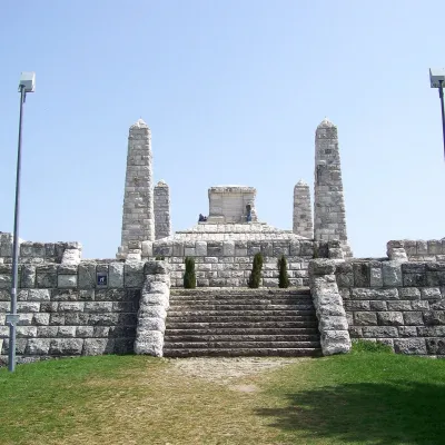 PeakBradloPriepasnéaltitude 543 m21 km from The meadows of Veľká Javorina, the highest peak of the White CarpathiansBradlo (Hungarian Bradló) is a 543 m limestone summit, the highest point of the Myjava Hills (Myjavská pahorkatina) in western Slovakia.
Craft nearby
All craft places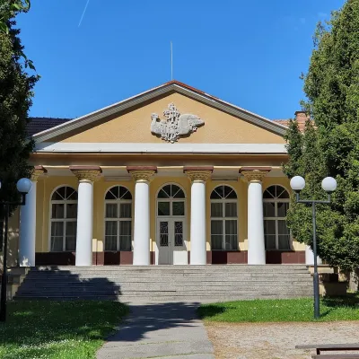 Water parks & thermal poolsSmrdáky: a hydrogen-sulphide spa for skin diseasesSmrdáky31 km from The meadows of Veľká Javorina, the highest peak of the White CarpathiansSmrdáky is a small spa village in western Slovakia, on the edge of the Záhorie Lowland and the foothills of the White Carpathians, about 7 km from Senica and 80 km...
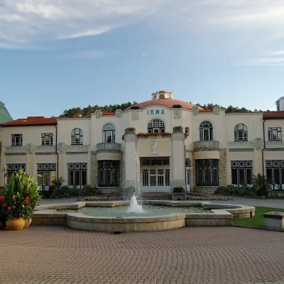 Water parks & thermal poolsPiešťany: the Spa Island, sulphur mud and thermal bathsPiešťany33 km from The meadows of Veľká Javorina, the highest peak of the White CarpathiansPiešťany is Slovakia's best-known spa, spread out in the Váh valley between the Považský Inovec and the Little Carpathians.
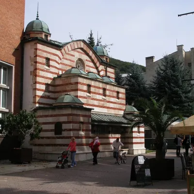 Water parks & thermal poolsTrenčianske Teplice: the Hammam and sulphur thermal bathsTrenčianske Teplice37 km from The meadows of Veľká Javorina, the highest peak of the White CarpathiansTrenčianske Teplice is one of Slovakia's oldest spas, squeezed into a narrow wooded valley of the Strážov Mountains not far from Trenčín.
