Lubina
Photos: Michal Jakubský, CC BY 3.0 (Wikimedia Commons); Michal Jakubský, CC BY 3.0 (Wikimedia Commons); cevrik, CC BY 3.0 (Wikimedia Commons)
Lubina is a village and municipality in the Nové Mesto nad Váhom District, Trenčín Region, Slovakia. It is situated at an altitude of 313 metres and covers an area of 29.43 km². The village lies in the foothills of the Western Carpathians, with the Kamečnica river flowing nearby. As of 2025, the population is 1,523.
The first historical mention of Lubina dates back to 1392. Before the establishment of independent Czechoslovakia in 1918, the village was part of Nyitra County within the Kingdom of Hungary. From 1939 to 1945, it belonged to the Slovak Republic.
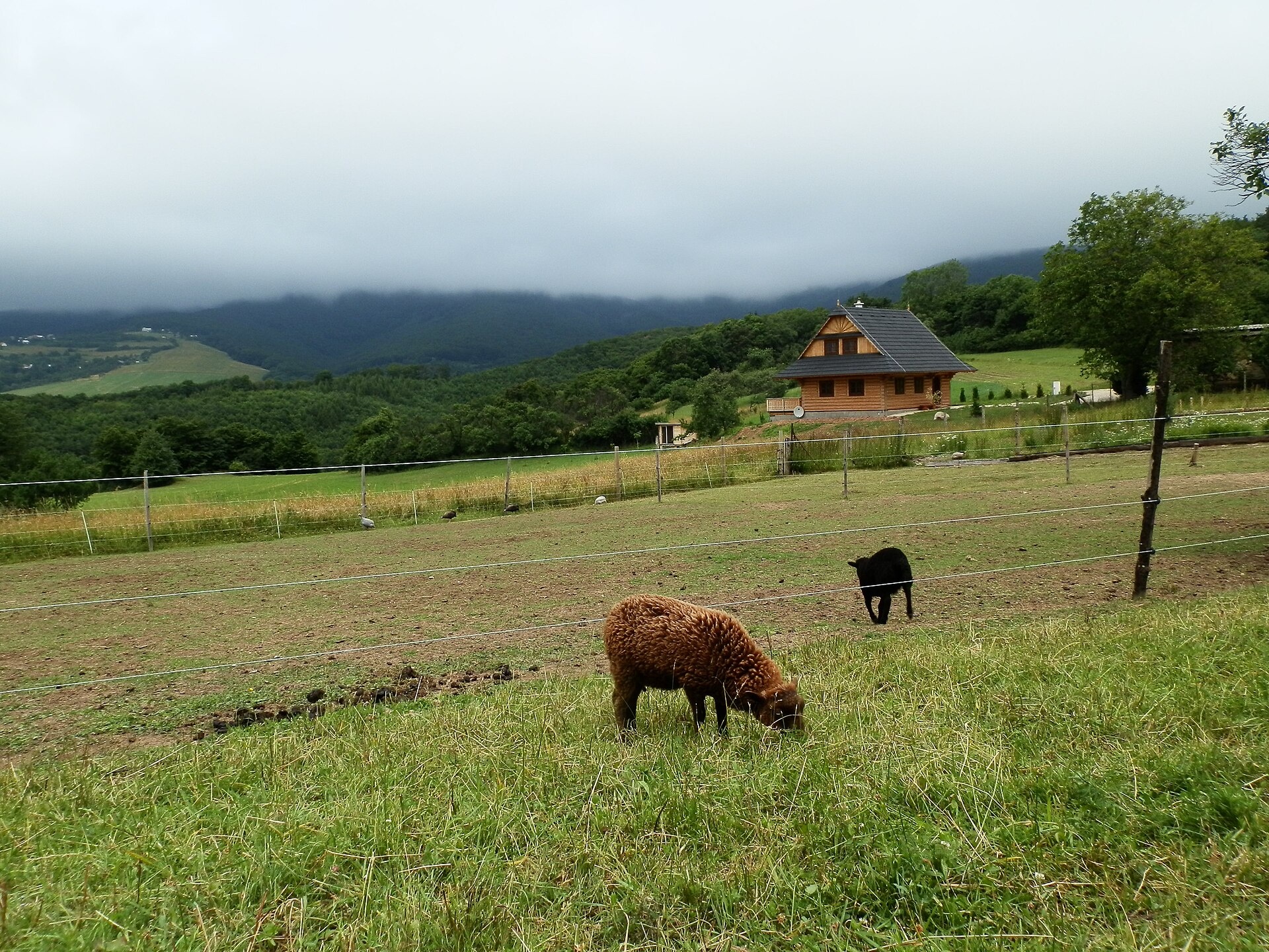
Lubina is known for its picturesque natural surroundings in the Western Carpathians, including the meadows of Veľká Javorina, the highest peak of the White Carpathians. The village is notable for its diverse ethnic and religious composition, as well as traditions in agriculture and sheep farming.
Visitors can enjoy a variety of activities: several hiking trails pass through Lubina, such as "Čachtice – Lubina", "Rudolf Drozd Trail", "Štefan Petrovic Trail", and "Captain Miloš Uhra Trail". Mountain enthusiasts can ascend Veľký Lopeník or visit the Golubého Shelter. Local crafts include "Salaš Beckov pod hradom", offering 100% sheep cheese and bryndza dumplings.
Getting there from Ukraine
From Uzhhorod to Žilina ≈330 km, ≈4 h 20 min without queues: Uzhhorod – Vyšné Nemecké → I/19 to Košice → D1 via Prešov, Poprad, Liptovský Mikuláš and Ružomberok (≈17 km on I/18 between D1 sections) → Žilina. To Terchová ≈314 km, ≈4 h 15 min: from the D1 onto I/70 and II/583. From Lviv through Poland: M-10 → Krakovets – Korczowa → A4 to Kraków → S7/DK7 to Chyżne – Trstená → R3, I/59 to Dolný Kubín → II/583 via Terchová to Žilina: to Terchová ≈493 km (≈6 h 30 min), to Žilina ≈518 km (≈7 h). Via the tolled A4 Kraków – Katowice, S1 and D3: ≈533 km, ≈6 h 35 min. The D1 requires an e-vignette (eznamka.sk).
Sources: Wikipedia, Wikidata, OpenStreetMap, Karpaty.rocks data. More on Wikipedia
Trails nearby
All trails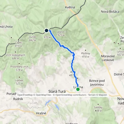 ModerateOne-dayMarkedTrail of Captain Miloš UhraElevation profile269–961 m11.9 kmascent 845 m≈ 4.5 h walkingunder 1 km from the centre
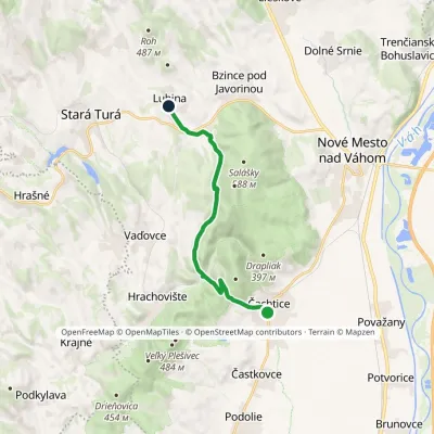 ModerateOne-dayMarkedČachtice LubinaElevation profile184–397 m12.3 kmascent 379 m≈ 4 h walkingunder 1 km from the centre
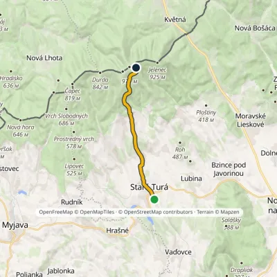 ModerateOne-dayMarkedStará Turá Veľká Javorina, Holuby HutElevation profile279–907 m10.7 kmascent 647 m≈ 4 h walking2.9 km from the centre
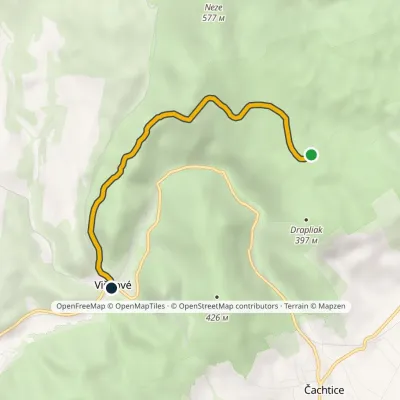 EasyOne-dayMarkedPod Drapliakom Višňové, stopElevation profile210–436 m5 kmascent 76 m≈ 1.5 h walking4.9 km from the centre
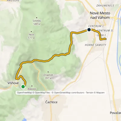 EasyOne-dayMarkedRudolf Drozd TrailElevation profile184–380 m10.1 kmascent 185 m≈ 3 h walking5.5 km from the centre
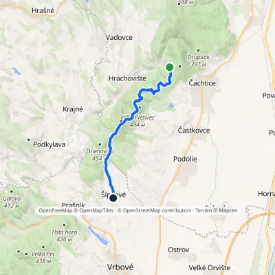 EasyOne-dayMarkedČachtický Castle ŠípkovéElevation profile216–484 m11.2 kmascent 192 m≈ 3 h walking7 km from the centre
Peaks nearby
All peaks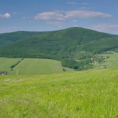 PeakVeľký LopeníkNová Bošácaaltitude 911 m15 km from the centreVeľký Lopeník (Czech Velký Lopeník) is a distinctive 911 m summit of the White Carpathians (911.3 m according to Slovak data) on the border between Slovakia and Czechia.
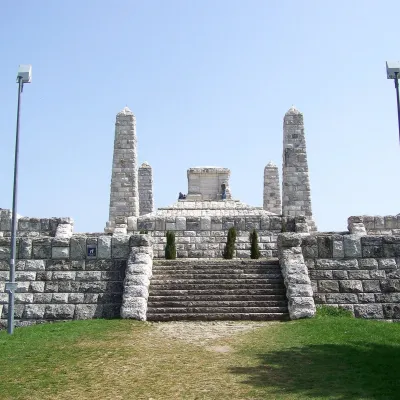 PeakBradloPriepasnéaltitude 543 m17 km from the centreBradlo (Hungarian Bradló) is a 543 m limestone summit, the highest point of the Myjava Hills (Myjavská pahorkatina) in western Slovakia.
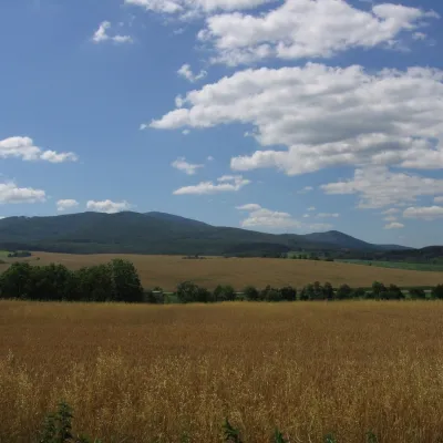 PeakInovecSelecaltitude 1 041 m22 km from the centreInovec (Polish Inowiec) is the highest summit of the Považský Inovec range in western Slovakia, at 1,041 m (more precisely 1,041.6 m).
What to visit
All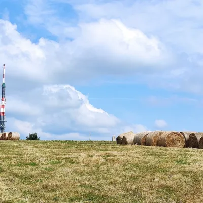 Mountain meadowThe meadows of Veľká Javorina, the highest peak of the White CarpathiansLubinaaltitude 970 m9.3 km from the centreVeľká Javorina (Czech Velká Javořina, 969.8 m) is the highest mountain of the White Carpathians (Biele Karpaty) on the Slovak–Czech border, about 8 km north of the...
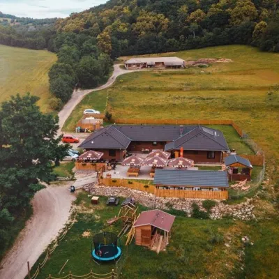 Cheese dairies & pasturesSalaš Beckov: 100% sheep’s cheese and bryndza dumplingsBeckov12 km from the centreA sheep salaš beside one of the Váh valley’s finest castles Beckov is a village in the Váh valley between Nové Mesto nad Váhom and Trenčín, overlooked by the ruins of...
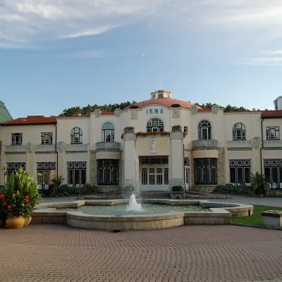 Water parks & thermal poolsPiešťany: the Spa Island, sulphur mud and thermal bathsPiešťany23 km from the centrePiešťany is Slovakia's best-known spa, spread out in the Váh valley between the Považský Inovec and the Little Carpathians.
Spas and thermal pools nearby
Huts, shelters and springs nearby
Getting there from Ukraine
Border crossings
- Uzhhorod – Vyšné Nemecké — road, 24/7
- Malyi Bereznyi – Ubľa — road, 24/7 For cars and buses; pedestrians not confirmed by the Ukrainian border service, lorries up to 3.5 t.
- Mali Selmentsi – Veľké Slemence (pedestrian) — pedestrian, 09:00–21:00 Kyiv time Pedestrians and cyclists only; inconvenient for the Tatras without onward transport.
- Chop – Čierna nad Tisou (rail) — rail, 24/7
By car
From Uzhhorod to Žilina ≈330 km, ≈4 h 20 min without queues: Uzhhorod – Vyšné Nemecké → I/19 to Košice → D1 via Prešov, Poprad, Liptovský Mikuláš and Ružomberok (≈17 km on I/18 between D1 sections) → Žilina. To Terchová ≈314 km, ≈4 h 15 min: from the D1 onto I/70 and II/583. From Lviv through Poland: M-10 → Krakovets – Korczowa → A4 to Kraków → S7/DK7 to Chyżne – Trstená → R3, I/59 to Dolný Kubín → II/583 via Terchová to Žilina: to Terchová ≈493 km (≈6 h 30 min), to Žilina ≈518 km (≈7 h). Via the tolled A4 Kraków – Katowice, S1 and D3: ≈533 km, ≈6 h 35 min. The D1 requires an e-vignette (eznamka.sk).
Checked 23.10.2026; border crossing hours and timetables change — check before you travel.
