Závažná Poruba – Poludnica
Trail map
Route, springs and shelters: © OpenStreetMap contributors (ODbL) · elevation: Copernicus DEM © DLR e.V., © Airbus DS · Data & licences
About the trail
Route Závažná Poruba – Poludnica. Has yellow marking (regional route №8623, KST). Waymarking data: OpenStreetMap (© OpenStreetMap contributors, ODbL).
Officially marked regional tourist route No. 8623. The marking is yellow, the sign is a horizontal stripe on a white background. Marked and maintained by: KST. The length of the route is 5.4 km. Location: mountain range – Low Tatras, Slovakia.
Attention: part of the route has not yet been marked on OpenStreetMap, so the line on the map has gaps. On the ground, orient yourself by the marking signs.
At a glance
A short route of 5.4 km with 900 m of ascent from Závažná Poruba to Poludnica. Estimated walking time: about 3 h, not counting stops. Difficulty: moderate. Waymarking: yellow.
Route stages
- 0–4.5 kmClimb of 840 m to Poludnica (1,549 m)
- 4.5–5.5 kmDescent of 410 m to Poludnica
Steepest kilometre: km 4.5–5.5, a descent of 450 m (≈54%), near Poludnica.
Water and overnight stays
Springs near the trail: at km 0, 1, 2.5, 3.5 and 5.
When to go
Best time: May to October. In winter deep snow is possible, so experience and winter gear are needed.
Getting there
Start: Závažná Poruba. This is a one-way route: the finish is 3 km from the start in a straight line, so plan your way back in advance.
FAQ
- How long does the route take?
- Estimated walking time: about 3 h, not counting stops.
- Is there water on the route?
- Springs near the trail: at km 0, 1, 2.5, 3.5 and 5.
Water and shelter on the route
- Medokýš Spring, 660 mkm 0.3 from the start · Not verified · 660 m
- Spring below Beňovo (south-east slope)km 0.8 from the start · 200 m off the path · Not verified · 728 m
- Spring below Baran (south-west slope)km 1.3 from the start · Not verified · 721 m
- Spring below Starý háj (south-east slope)km 2.1 from the start · Not verified · 814 m
- Spring below Okrúhla (north slope), 923 mkm 2.7 from the start · Not verified · 923 m
- Spring below Predná Poludnicakm 4.4 from the start · Not verified · 1 404 m
- Tri Žliebky Springkm 6.2 from the start · 290 m off the path · Not verified · 1 049 m
Comments
Trails nearby
All trails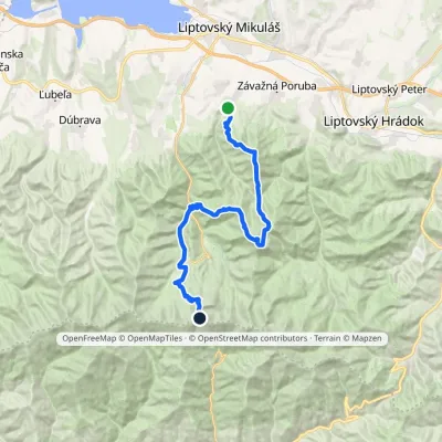 HardMulti-dayMarkedIľanovo ChopokElevation profile652–2 003 m26.7 kmascent 2 715 m≈ 12 h walking
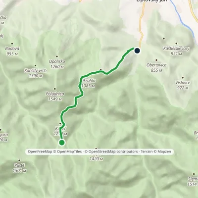 EasyOne-dayMarkedLiptovský Ján, Hotel Ďumbier Sedlo pod KúpeľomElevation profile663–1 236 m5.8 kmascent 127 m≈ 1.5 h walking
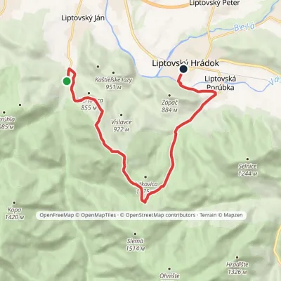 ModerateOne-dayMarkedLiptovský Ján, hotel Ďumbier Liptovský HrádokElevation profile633–1 298 m11.9 kmascent 642 m≈ 4.5 h walking
Craft nearby
All craft places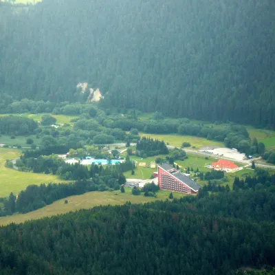 Water parks & thermal poolsTERMAL raj thermal bath, Liptovský JánLiptovský Ján2.4 km from the trailLiptovský Ján: thermal water at the entrance to Jánska dolina Liptovský Ján is an old village in southern Liptov, about 10 km from Liptovský Mikuláš, at the entrance...
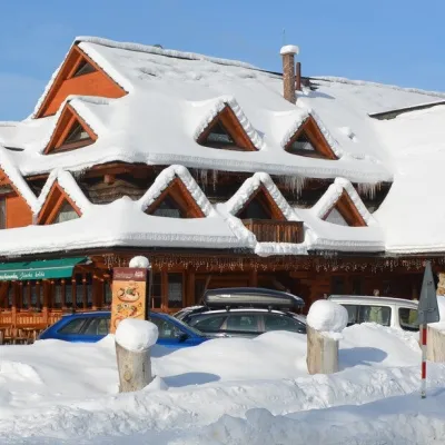 Koliby & Hutsul cuisineKoliba Strachanovka, Jánska valleyLiptovský Ján2.7 km from the trailKoliba Strachanovka (Jánska koliba) is a large wooden koliba at the entrance to the Jánska valley in the village of Liptovský Ján, which locals consider one of the...
 Craft beer & breweriesLiptovar brewery, Liptovský Mikuláš: craft beer and brewpubLiptovský Mikuláš4 km from the trailLiptovský Mikuláš is the main town of the Liptov region, a short drive from the Low and Western Tatras, the Demänovská Valley and the Liptovská Mara reservoir.
 Water parks & thermal poolsAquapark TatralandiaLiptovský Mikuláš8.3 km from the trailAquapark Tatralandia is a large year-round water leisure complex near Liptovský Mikuláš, on the northern shore of the Liptovská Mara reservoir.
 Koliby & Hutsul cuisineSalaš Dechtáre above Liptovská MaraGalovany11 km from the trailSalaš Dechtáre is a wooden koliba above the Liptovská Mara reservoir that is described as one of Slovakia’s first commercial salaš restaurants.
 Water parks & thermal poolsBešeňová Water ParkBešeňová16 km from the trailBešeňová — the "thermal heart of Liptov" Bešeňová Water Park (Vodný park Bešeňová) lies on the edge of the village of the same name in the western part of the Liptov...
