Habovka, Pod Klimkovým vŕškom — Skanzen Brestová
Trail map
Route, springs and shelters: © OpenStreetMap contributors (ODbL) · elevation: Copernicus DEM © DLR e.V., © Airbus DS · Data & licences
About the trail
Route Habovka, Pod Klimkovým vŕškom – Skanzen Brestová. Has yellow marking (regional route №8572, KST). Waymarking data: OpenStreetMap (© OpenStreetMap contributors, ODbL).
Officially marked regional tourist route No. 8572. The marking is yellow, the sign is a horizontal stripe on a white background. Marked and maintained by: KST. Length of the route – 5.6 km. Location: mountain range – Western Tatras, Slovakia. The route in the Tatra National Park (TANAP): high-altitude sections are closed from November 1 to June 15 – check the current dates on tanap.sk before heading out.
At a glance
A short route of 5.6 km with 52 m of ascent and 218 m of descent from Habovka, Pod Klimkovým vŕškom to Skanzen Brestová. Estimated walking time: about 1.5 h, not counting stops. Difficulty: easy. Waymarking: yellow.
Route stages
- 0–1 kmGentle ups and downs at 890–930 m
- 1–3.5 kmDescent of 150 m (down to 759 m)
- 3.5–5.5 kmGentle ups and downs at 710–770 m
Steepest kilometre: km 2–3, a descent of 100 m (≈10%).
Water and overnight stays
Our map shows no springs near the trail — bring your own water (at least 1 l).
When to go
The route can be walked most of the year; it is most comfortable from April to October.
Getting there
Start: Habovka, Pod Klimkovým vŕškom. This is a one-way route: the finish is 5 km from the start in a straight line, so plan your way back in advance.
FAQ
- How long does the route take?
- Estimated walking time: about 1.5 h, not counting stops.
- Is there water on the route?
- Our map shows no springs near the trail — bring your own water (at least 1 l).
Comments
Trails nearby
All trails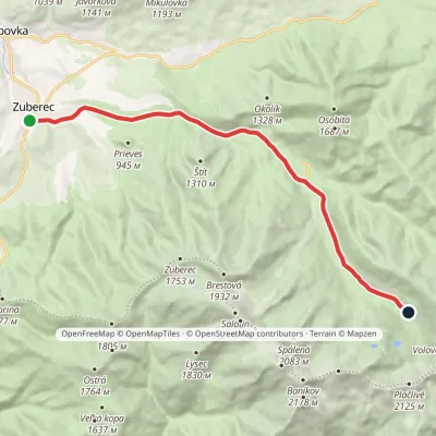 ModerateOne-dayMarkedZuberec Tatliakove plieskoElevation profile760–1 377 m12.8 kmascent 612 m≈ 4.5 h walking
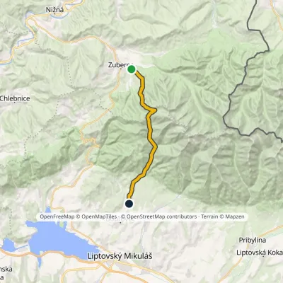 ModerateTwo-dayMarkedJalovec ZuberecElevation profile683–1 579 m17.6 kmascent 772 m≈ 6 h walking
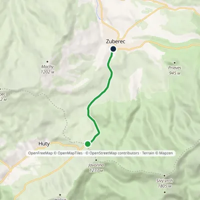 EasyOne-dayMarkedZuberec Horáreň pod Bielou skalouElevation profile759–947 m4.8 kmascent 4 m≈ 1 h walking
Craft nearby
All craft places Water parks & thermal poolsOravice thermal pools7.4 km from the trailThe Oravice thermal pools (Termálne kúpalisko Oravice) are the municipal thermal baths in the mountain settlement of Oravice at the foot of the Western Tatras.
 Water parks & thermal poolsMeander Thermal Resort, Oravice7.5 km from the trailMeander Thermal & Ski Resort (formerly Meander Park) is a thermal water park and ski centre in the mountain settlement of Oravice in northern Slovakia, at the foot of...
 Cheese dairies & pasturesShepherds' Huts on Polana Chochołowska9.5 km from the trailPolana Chochołowska is the largest glade in the Polish Tatras and one of the largest in the whole range.
 Cheese dairies & pasturesShepherd's Hut in the Kościeliska Valley15 km from the trailJózef Słodyczka's bacówka (shepherd's hut) on the Wyżnia Kira Miętusia glade is probably the most easily reached shepherds' hut in the Polish Tatras.
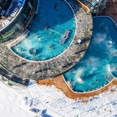 Water parks & thermal poolsChochołowskie Termy15 km from the trailChochołowskie Termy stand in the village of Chochołów in the Podhale region, north-west of Zakopane and not far from the Slovak border.
 Water parks & thermal poolsAquapark Tatralandia18 km from the trailAquapark Tatralandia is a large year-round water leisure complex near Liptovský Mikuláš, on the northern shore of the Liptovská Mara reservoir.
