Vorokhta – Dil polonyna
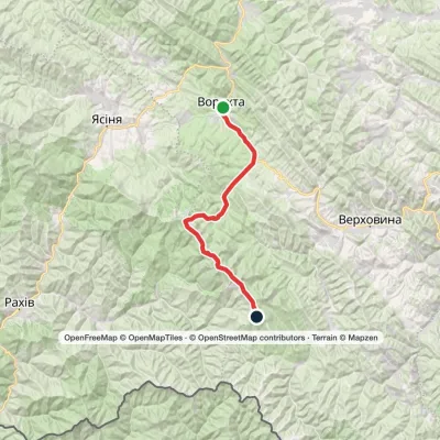
Trail map
Route, springs and shelters: © OpenStreetMap contributors (ODbL) · elevation: Copernicus DEM © DLR e.V., © Airbus DS · Data & licences
Where to stay nearby





About the trail
Route Vorokhta – Dil polonyna. Has blue marking (local route). Waymarking data: OpenStreetMap (© OpenStreetMap contributors, ODbL).
Officially marked local tourist route. The marking is blue, the sign is a horizontal stripe on a white background. Marked and maintained by: Carpathian National Nature Park. The length of the route is 4 km. Location: mountain range — Pokutsko-Bukovynski Carpathians, Ivano-Frankivsk region.
The route is in memory of soldier Andrii Tomashchuk, call sign "Parovoz", who died on May 14, 2023, in the battle for the city of Bakhmut.
At a glance
A short route of 4 km with 397 m of ascent from Vorokhta to Dil polonyna. Estimated walking time: about 1.5 h, not counting stops. Difficulty: easy. Waymarking: blue.
Route stages
- 0–1.5 kmGentle ups and downs at 920–1,010 m
- 1.5–2.5 kmClimb of 270 m (up to 1,275 m)
- 2.5–4 kmGentle ups and downs at 1,220–1,290 m
Steepest kilometre: km 1.5–2.5, a climb of 240 m (≈24%).
Water and overnight stays
A spring near the trail: at km 4.
Places to stay near the start and finish: Vorokhta.
When to go
Best time: May to October. In winter deep snow is possible, so experience and winter gear are needed.
Getting there
Start: Vorokhta. This is a one-way route: the finish is 3 km from the start in a straight line, so plan your way back in advance.
FAQ
- How long does the route take?
- Estimated walking time: about 1.5 h, not counting stops.
- Is there water on the route?
- A spring near the trail: at km 4.
- Where can I stay overnight?
- Places to stay near the start and finish: Vorokhta.
Water and shelter on the route
- Spring (Vorokhta, 16)km 4 from the start · 200 m off the path · Not verified · 1 220 m
Before you go, check the border-regime restrictions: Border Guard permit for mountain hikes (in Ukrainian)
Comments
Trails nearby
All trails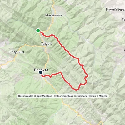 HardMulti-dayMarkedZhenets tract (Mykulychyn village) to Vorokhtavia Mount Yahidna, Mount Lisniv +1Elevation profile645–1 356 m39.2 kmascent 1 410 m≈ 12.5 h walking
 HardMulti-dayVorokhta to Mount Pip Ivan Chornohirskyivia Zaroslyak base, Mount Hoverla +2Elevation profile746–2 061 m42.2 kmascent 2 222 m
 ModerateOne-dayMarkedVorokhta village Rizhi PassElevation profile761–1 295 m8.8 kmascent 570 m≈ 3.5 h walking
Craft nearby
All craft places Markets & fairsSouvenir Bazaar by the Ski Jumps, VorokhtaVorokhtaunder 1 km from the trailThe souvenir bazaar in Vorokhta is one of the busiest little trading spots in the mountain Hutsul region.
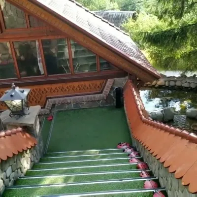 Koliby & Hutsul cuisineStara Vorokhta Restaurant, VorokhtaVorokhta1.1 km from the trailStara Vorokhta restaurant ("Old Vorokhta") is one of the best-known places for Hutsul food in Vorokhta: on Google Maps it is rated 4.6 from more than 6,300 reviews, a...
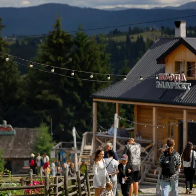 Mountain meadowPolonyna Pertsi Ethno Park, YablunytsiaYablunytsiaaltitude 940 m · Kukul range9.2 km from the trailPolonyna Pertsi (“Pepper Meadow”) is an ethno park of Hutsul traditions in Yablunytsia, close to the Yablunytsia Pass.
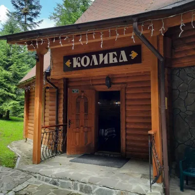 Koliby & Hutsul cuisineKolyba “Dykyi Med”, TatarivTatariv9.4 km from the trailThe Dykyi Med (“Wild Honey”) kolyba is the heart of a private estate of the same name in the Zhenets area of Tatariv, in a valley the locals call the Honey Valley.
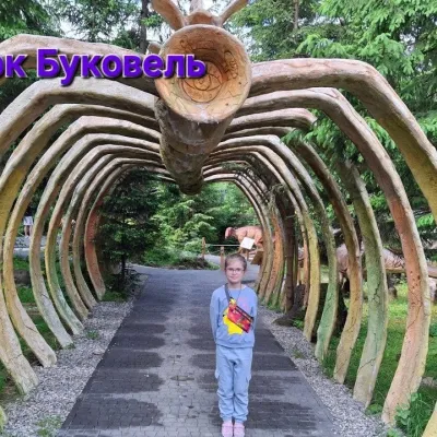 Theme parksDinoPark, Polianytsia (Bukovel)Yablunytsia9.4 km from the trailDinoPark in Polianytsia is an open-air dinosaur theme park at the entrance to Bukovel resort. It is easy to spot from the road: a huge dinosaur figure stands right by...
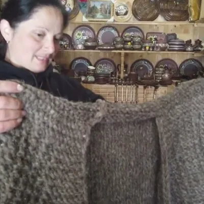 Markets & fairsSouvenir Market on the Yablunytsia Pass, YablunytsiaYablunytsia9.7 km from the trailThe souvenir market on the Yablunytsia Pass is one of the best-known roadside bazaars in the Carpathians.
