Polonyna Brailka
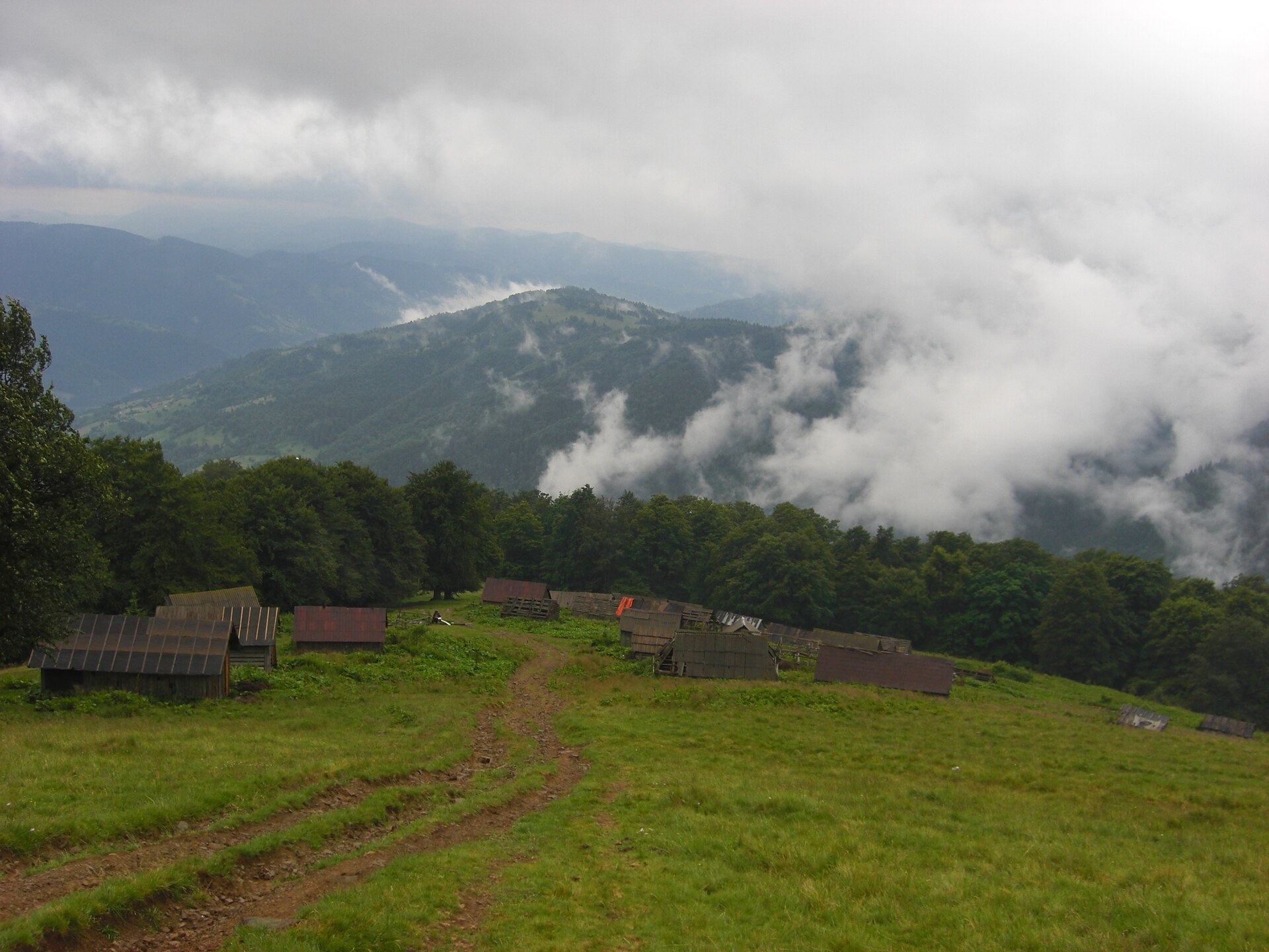
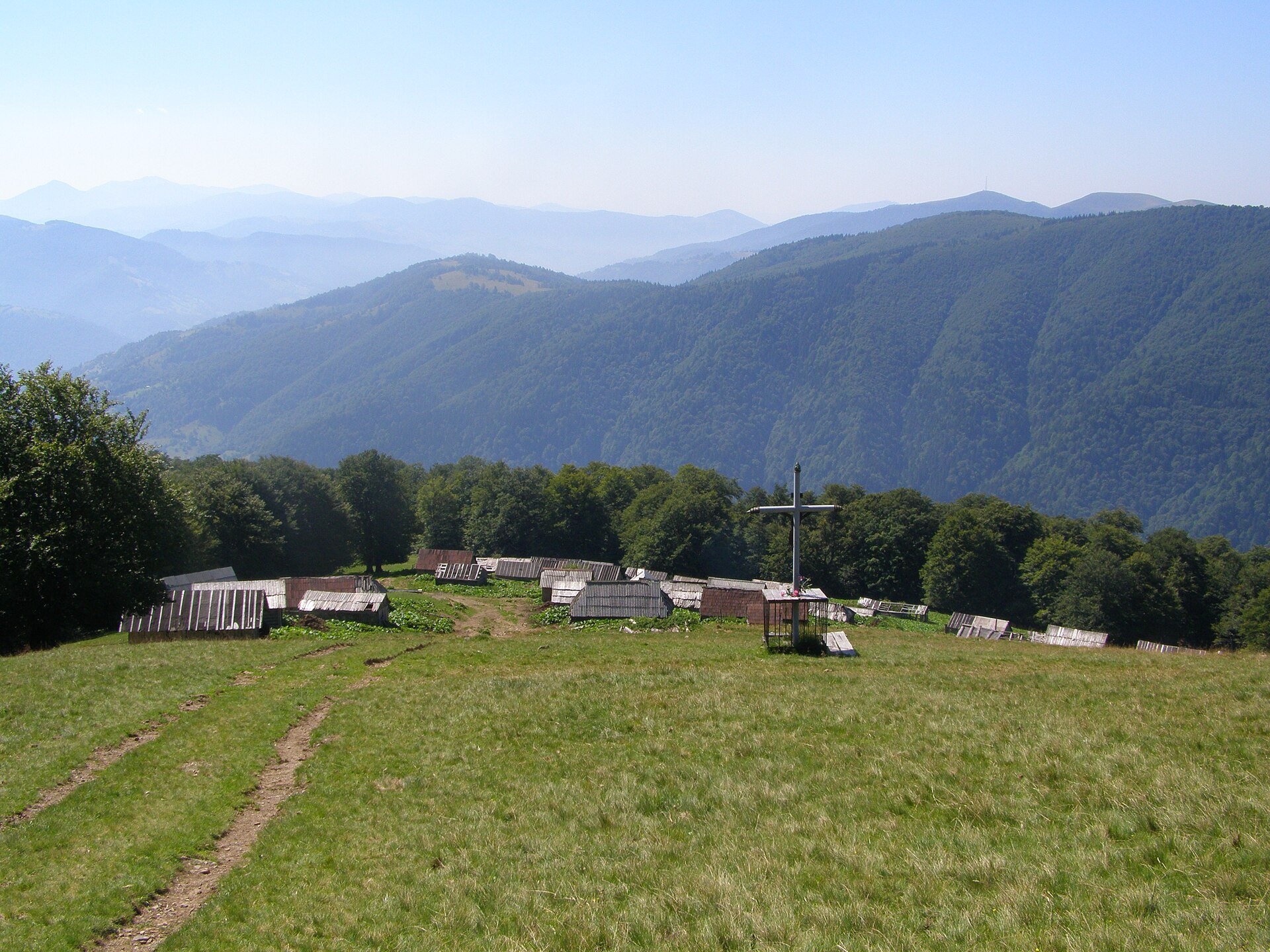
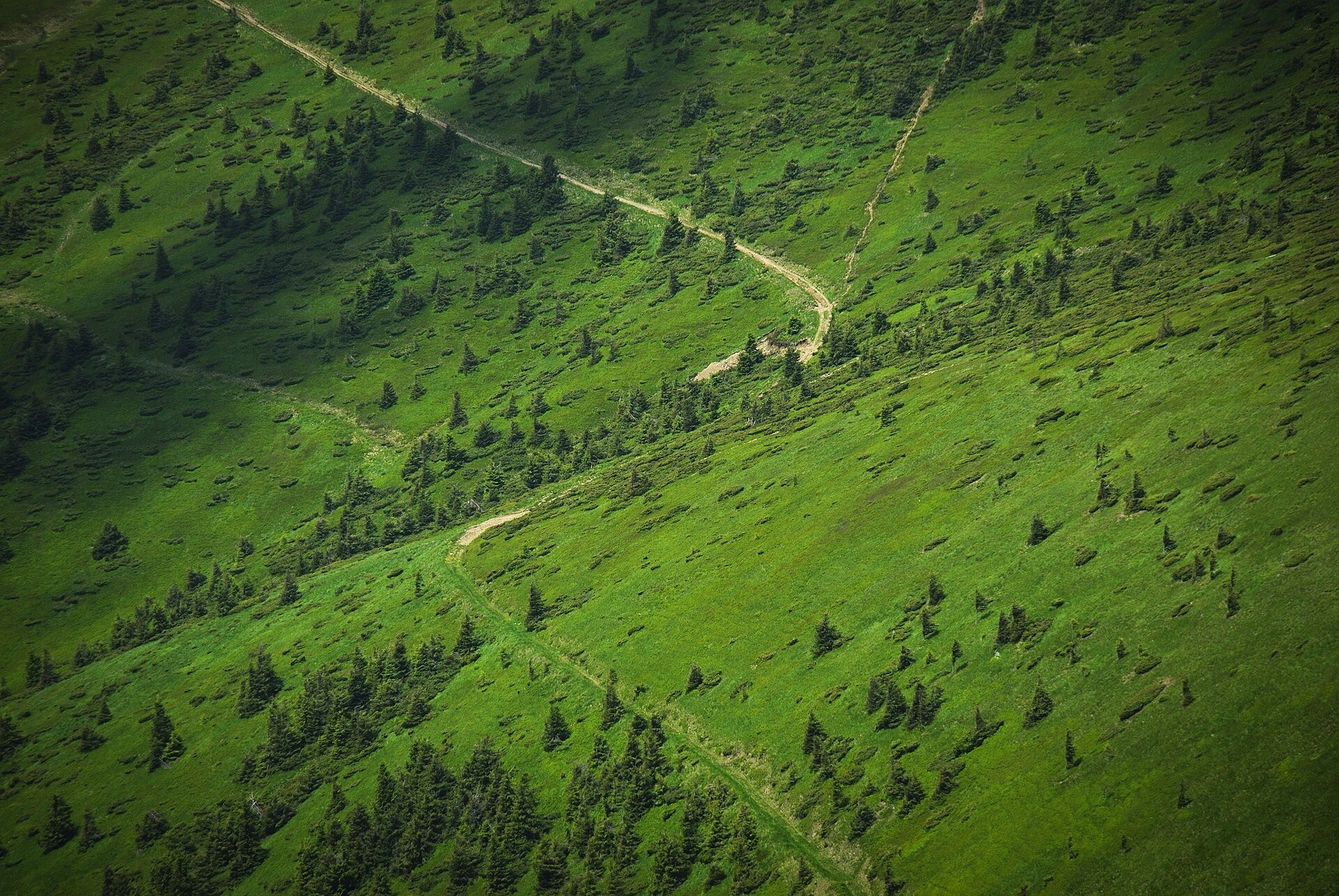
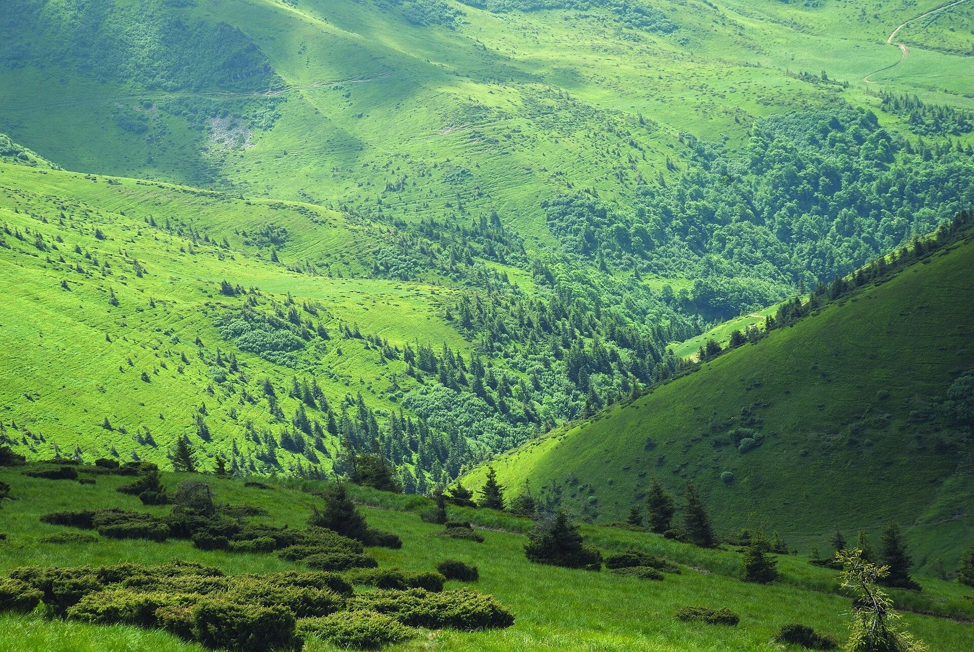
Polonyna Brailka (in some sources and on our site also Braivka) is a mountain pasture on the south-eastern slopes of the Svydovets massif, above the village of Kvasy and its hamlet of Trostianets in Rakhiv district, Zakarpattia oblast. The polonyna lies on a spur of Mala Blyznytsia at roughly 1,250–1,430 m: maps mark it at about 1,330–1,350 m, and higher up the slope the meadows gradually open into the wide grasslands below the Blyznytsia peaks.
Brailka is the shortest and most popular way from Kvasy railway station up to the Svydovets ridge. Some people come here for a short walk with a view over the Tysa valley, others make it their first rest stop on the way to Blyznytsia (1,883 m), the highest peak of the massif.
What you will see
The polonyna faces east and south: below you lie Kvasy and Trostianets and the Tysa valley, with the ridges of Chornohora beyond. Above the meadow rise Mala Blyznytsia and the main summits of Blyznytsia. In early spring, as soon as the snow melts, the slopes are covered with crocuses — hikers write about it and photos from the polonyna show it. In summer sheep graze here and bilberries ripen along the forest edge; in autumn the slopes turn russet, and in winter the cluster of snowed-in huts becomes a favourite subject for photographers and for freeriders skiing down from Blyznytsia.
Part of the Svydovets massif belongs to the Carpathian Biosphere Reserve. Brown bears and lynx live in Svydovets, fire salamanders occur here, and many of the massif's plants are listed in the Red Data Book of Ukraine.
Shepherds, huts and cheese
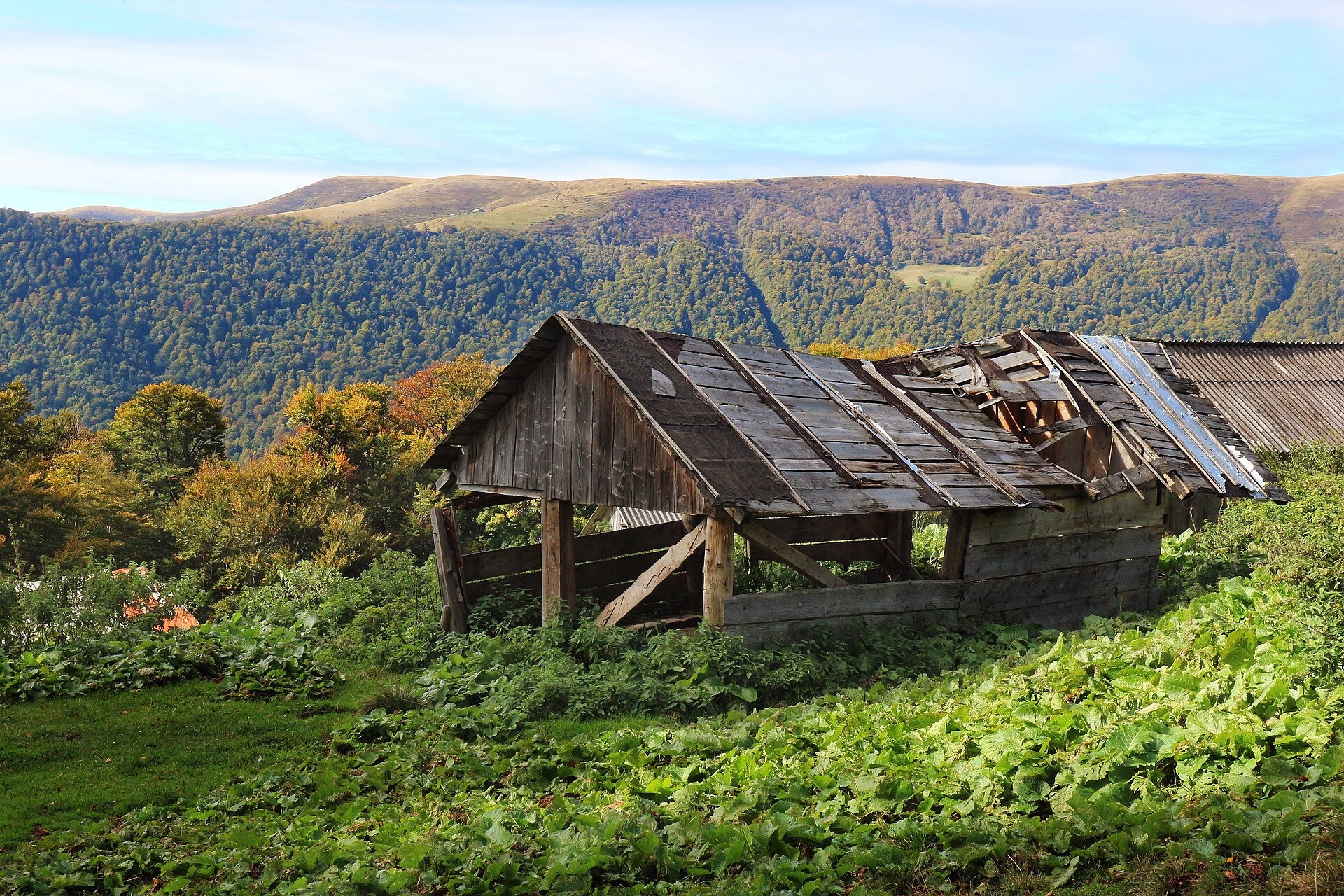
Brailka has a whole settlement of wooden huts (kolyby) and sheds — you can see it well both from the path and from the slopes of Mala Blyznytsia. In summer flocks of sheep graze on Brailka and the neighbouring Strimcheska polonyna, and the huts traditionally make brynza from sheep's milk. Hiking maps show two "cheese dairy" markers near the polonyna (at about 1,376 and 1,410 m); the description of one of them mentions an atmospheric dairy selling sheep cheese and vurda, but several hikers in 2022–2024 reported finding only a path and a local family's house at the upper marker. So whether the dairy is working this season and selling cheese is something to check on the spot or in Kvasy.
If the shepherds are on the polonyna, ask politely for cheese, don't enter the pen without permission, and carry cash. You can be sure of buying cheese and vurda down in Kvasy: the Rozental eco-farm and cheese dairy keeps goats, sheep and cows and makes several kinds of cheese.
History and legends
The name is spelled in different ways: OpenStreetMap and Wikimedia Commons use Brailka, while vpohid.com.ua and older route descriptions use Braivka or Braylka. Sources do not give a separate history of the polonyna; what is known is that Kvasy has long been famous for its mineral water and that the path to Blyznytsia via Brailka has long been the classic ascent from this village.
Routes
- Loop Kvasy (Trostianets) — Brailka polonyna — Kvasy: 9.7 km, about 3 hours, around 680 m of ascent. An easy route with a gradual climb, recommended for a first hike without an overnight stay.
- Kvasy — Brailka — Blyznytsia — Kvasy: a loop of about 22.6 km with around 1,465 m of ascent; the description says 8 hours, but most hikers take 10–12. The hardest part is the last 2–3 km of steep climbing from the polonyna to the summit. On our site: Kvasy – Blyznytsia – Kvasy and the loop via Stara, Blyznytsia and Lake Ivor.
- Via Brailka to the main ridge: Braivka polonyna via Blyznytsia to Lake Apshynets; the traverse Yasinia — Drahobrat — Blyznytsia — Kvasy conveniently ends with the descent through Brailka.
- Svydovets traverse: from Ust-Chorna along the ridge to Stih, past the Zhandarm rocks and Blyznytsia, then via the Strimcheska polonyna and Brailka to Kvasy station — about 46.5 km and 17 hours of walking (2–3 days). Part of the way follows the Zakarpattia Tourist Trail.
Waymarking in Svydovets is sparse in places, so download an offline map. For those who don't do long hikes, Brailka is one of the most accessible polonynas of the massif: a forest road leads to it and the climb is gradual.
Getting there
Kvasy is on the Ivano-Frankivsk — Rakhiv railway and has a station where trains stop. The path to Brailka starts in the hamlet of Trostianets; at the start there is a mineral spring (burkut), a good place to fill your bottles. Above the hamlet there is only a forest road and a path, so from here you continue on foot.
When to go and weather
The best time is June to September, when the shepherds and livestock are on the polonyna and the paths are drier. April and May bring the crocus bloom, though snow may still lie higher up. Bilberries ripen in summer. In winter people walk to Brailka on snowshoes and skis, but the climb to Blyznytsia at that time of year is for experienced mountaineers only. Thunderstorms and fog build up quickly on the open slopes.
Water, shelters and overnight
There are springs near the polonyna — the closest is about 200 m from the polonyna marker (spring in Trostianets); on the second half of the loop there is another small spring whose water hikers recommend filtering. Along the route there is a table with a bench for a rest and flat spots for several tents; higher up, at about 1,430 m, there is another campsite. The huts on the polonyna (hut on the Braivka polonyna, shepherds' hut in Trostianets) are first of all working buildings, so check their description and ask the owners before counting on a night there. Accommodation is easiest to find in Kvasy, which also has the Tsypa craft brewery.
Safety
- Sheepdogs guard the flocks: walk around the flock at a distance, don't run, don't wave sticks, and call the shepherd. Hikers advise not to bring your own dog on this route.
- The climb from Brailka to Blyznytsia is steep and long: plan your strength and time and get back before dark.
- Thunderstorms and fog are dangerous on the open ridge; when a storm approaches, get off the crest.
- There are few working springs above the polonyna — carry enough water.
- Bears live here: don't leave food next to your tent.
- In an emergency call 112 or 103 — in the mountains the State Emergency Service's mountain search and rescue unit responds.
What visitors say
- The loop to Brailka is described as a pleasant, easy half-day walk with a great view of Kvasy and Trostianets.
- In spring Brailka and the neighbouring polonynas are covered with crocuses — people come in April especially for this.
- Most hikers find the climb from the polonyna to Blyznytsia the hardest part of the day: the last kilometres are steep and relentless.
- The "cheese dairy" markers on online maps may not match reality — better to ask in the village.
- There is little water above the polonyna, and the small spring can be murky, so a filter is recommended.
- There are many working sheepdogs along the route, so it is better to leave your own dog at home.
Polonynas and peaks around
- Mala Blyznytsia — the peak right above Brailka, the first big viewpoint.
- Blyznytsia (1,883 m) — the highest peak of Svydovets and the goal of most people walking via Brailka.
- Blyznytsia polonyna — high meadows below the summit on the Drahobrat side.
- Stara — the neighbouring spur, crossed by another loop from Kvasy.
- Urda polonyna — a working sheep pasture with a shepherds' hut on the western slopes of Blyznytsia.
- Drahobrat polonyna and Drahobrat (Zhandarm) peak — on the other side of Blyznytsia.
- Menchul polonyna above Kvasy — on the opposite, Chornohora side of the Tysa valley.
Photos: Igor1972P, CC BY 3.0, Wikimedia Commons; Daniel Baránek, CC BY-SA 3.0, Wikimedia Commons; Nata Mostova, CC BY-SA 4.0, Wikimedia Commons; ЯдвигаВереск, CC BY-SA 4.0, Wikimedia Commons; Seencleyr, CC BY-SA 4.0, Wikimedia Commons; Tanya Troyan, CC BY-SA 4.0, Wikimedia Commons.
Video 2
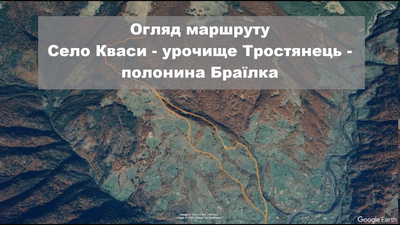 Село Кваси (Тростянець) - полонина Браїлка. Маршрут походуВ Похід Карпатами

Location on the map
Water and shelter nearby
- Spring (Trostyanets, 21)190 m · Not verified · 1 283 m
- Spring (Trostyanets, 22)340 m · Not verified · 1 384 m
- Shepherds' hut (Trostyanets)510 m · Not verified · 1 219 m
- Spring (Trostyanets, 19)530 m · Has water · 1 215 m
- Hut on Polonyna Braivka540 m · Poor condition · 1 214 m
- Spring (Trostyanets, 20)960 m · Not verified · 1 486 m
- Spring (Trostyanets, 24)1.2 km · Not verified · 1 474 m
- Hut on Polonyna Hropa2 km · Not verified · 1 311 m
- Spring (Trostyanets, 23)2 km · Not verified · 769 m
- Spring (Trostyanets, 25)2 km · Not verified · 801 m
- Hut on Polonyna Shesa2.1 km · Not verified · 1 192 m
- Spring (Trostyanets, 27)2.3 km · Not verified · 684 m
- Spring below Mount Blyznytsia (5)2.5 km · Weak flow · 1 759 m
- Drinking water (Trostyanets, 2)2.5 km · Not verified · 1 224 m
- Spring (Trostyanets, 18)2.6 km · Not verified · 1 504 m
- Spring (Trostyanets, 26)2.6 km · Not verified · 665 m
Comments
Places to stay nearby
All stays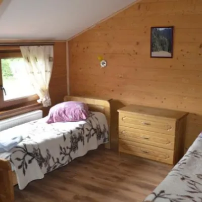 HotelHotel "Lisova Kazka"Kvasy4.1 km from Polonyna BrailkaPoolSaunaTransferNearby: Mt Sheshul 7.2 kmMt Bliznytsia 7.9 km44 trails
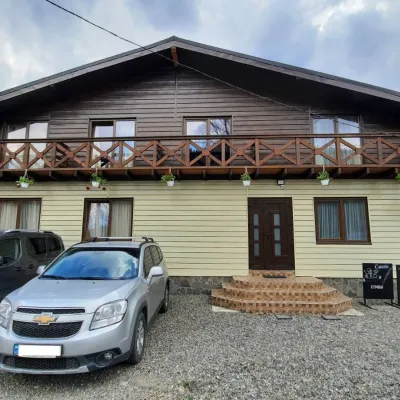 HotelCube (KUB)Kvasy4.8 km from Polonyna BrailkaBBQParkingWi‑FiNearby: Mt Sheshul 7.2 kmMt Bliznytsia 8.6 km44 trails
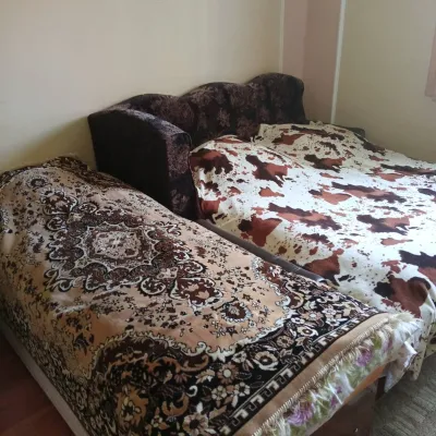 CottageHomestead "U Ivanky"Vyshkovo5.2 km from Polonyna BrailkaKitchenWi‑FiNearby: Mt Sheshul 7.1 kmNyzhnyi Huk waterfall 9.2 km44 trails
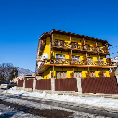 HotelGuest House "PETROS" KvasKvasy4.6 km from Polonyna BrailkaBBQKitchenParkingNearby: Mt Sheshul 7.1 kmMt Bliznytsia 8.5 km44 trails
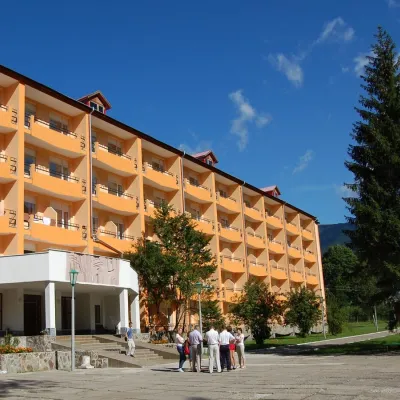 HotelSanatorium "Hirskaya Tysa" MykulychynKvasy4.6 km from Polonyna BrailkaSaunaSPAKidsNearby: Mt Sheshul 7.2 kmMt Bliznytsia 8.5 km44 trails
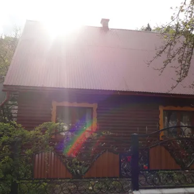 CottageCottage "Zatyshok" MykulychynKvasy5.4 km from Polonyna BrailkaFireplaceKitchenParkingNearby: Mt Sheshul 7.4 kmNyzhnyi Huk waterfall 8.9 km44 trails
Trails nearby
All trails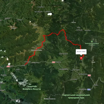 HardMulti-dayUnmarkedKvasy village to Polianytsia villagevia Mount Blyznytsia, Mount Bratkivska +1Elevation profile532–1 856 m57.2 kmascent 4 074 munder 1 km from Polonyna Brailka
 HardMulti-dayUnmarkedYasinia to Kvasy villagevia Dragobrat, Mount Blyznytsia +1Elevation profile541–1 848 m24.3 kmascent 1 743 m≈ 9.5 h walkingunder 1 km from Polonyna Brailka
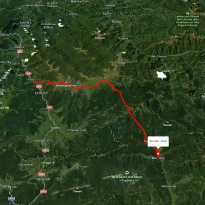 HardMulti-dayUnmarkedKvasy village to Bystrytsia villagevia Mount Blyznytsia, Mount Troiaska +2Elevation profile546–1 857 m45.7 kmascent 2 886 munder 1 km from Polonyna Brailka
Nearby attractions
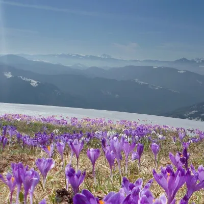 PeakMount Mala BlyznytsiaKvasyaltitude 1 566 m · Svydovets range2.4 km from Polonyna BrailkaMala Blyznytsia is a 1,566 m summit in the Svydovets range, in the Rakhiv district of Zakarpattia Oblast.
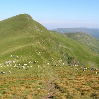 Mountain meadowPolonyna BlyznytsiaKvasyaltitude 1 780 m · Svydovets range3 km from Polonyna BrailkaBlyznytsia polonyna is the summit pastureland of the highest massif of Svydovets, in the Rakhiv district of Zakarpattia.
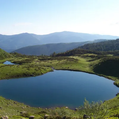 LakeLake VorozheskayaChorna Tysa11 km from Polonyna BrailkaThe real pearl of the Carpathians - Lake Vorozheska (other names - Vorozheska, Triton ) - is a hydrological natural monument of local importance, a high-mountain lake...
Craft nearby
All craft places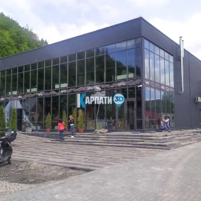 Craft beer & breweriesTsypa Brewery, KvasyKvasy4.8 km from Polonyna BrailkaThe Tsypa Hutsul craft brewery in Kvasy is probably the best-known brewery in the Ukrainian Carpathians.
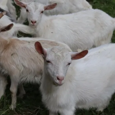 Eco farmsRozental Eco-Farm and Cheese Dairy, KvasyKvasy4.9 km from Polonyna BrailkaBeer and cider are brewed here, sheep's-milk ice cream is made, and in the Vaskul area above the village sits the Rozental eco-farm and cheese dairy.
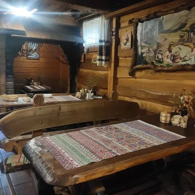 Koliby & Hutsul cuisineU Rizbaria Café, YasiniaYasinya12 km from Polonyna BrailkaU Rizbaria Café (“At the Woodcarver’s”) in Yasinia is a small Hutsul place serving home cooking that travellers usually find by word of mouth.
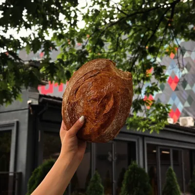 Craft producersDU-MEN craft bakery, RakhivRakhiv16 km from Polonyna BrailkaDU-MEN (DU•MEN.craft bakery) is a craft bakery in Rakhiv which, in its own words, has been baking “bread with a history” for twelve years.
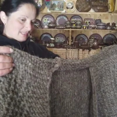 Markets & fairsSouvenir Market on the Yablunytsia Pass, YablunytsiaYablunytsia19 km from Polonyna BrailkaThe souvenir market on the Yablunytsia Pass is one of the best-known roadside bazaars in the Carpathians.
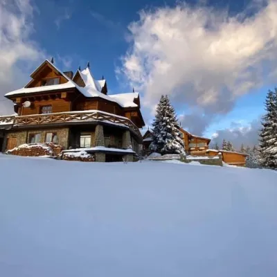 Koliby & Hutsul cuisineVysokyi Pereval Koliba, YablunytsiaYablunytsia19 km from Polonyna BrailkaVysokyi Pereval Koliba ("High Pass") stands in Yablunytsia, on the new road to Bukovel, in the Horishkiv area.
